Cartagena tide times
Cartagena tide forecast — heights relative to MSL.
Today's tide times for Cartagena
Tide times at Cartagena on Sunday, 21 June 2026: first high tide at 07:00. Sunrise 06:42, sunset 21:28.
Tide chart for Cartagena
24-hour cosine-interpolated curve around the present moment. Heights relative to MSL. Predictions: Predictions: Open-Meteo Marine (MeteoFrance SMOC, 0.08° grid).
Sun, moon and conditions on Sun 21 Jun
Snapshot at build time — refreshes daily. Sea state from Open-Meteo Marine.
Highs and lows next 7 days
Every predicted high and low for the next week, with the daily tidal coefficient (0–120; higher = bigger swing, > 95 means stronger currents).
Other spots nearby
The three closest curated TideTurtle locations to Cartagena, measured by great-circle distance.

Today's solunar windows
Solunar tradition: major periods are the ≈3h windows around moon transit and opposition; minor are ≈2h around moonrise and moonset. Pair with the local tide stage and wind for the best read.
About tides at Cartagena
A short guide to the coastline at Cartagena — geography, sea state, and what the tide is actually doing under your feet.
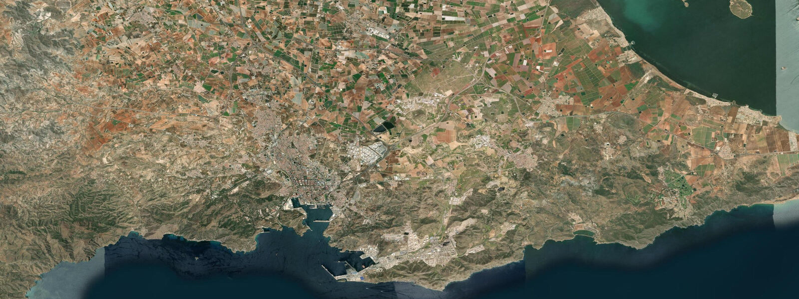
Cartagena's harbour has been in continuous use for more than 2,200 years, which is not a marketing claim but a physical fact written into the port's geometry. The Romans called it Carthago Nova; the Carthaginians before them, Qart Hadasht. The reason the site works as a harbour is a narrow entrance between two headlands — the Escombreras and Navidad points — that filters out Mediterranean swell and gives the inner basin its perpetual calm. Stand at the Puerto de Cartagena entrance in a southeasterly and watch the chop drop within 100 m of crossing the bar. The harbour interior is glassy.
The tidal regime here is microtidal. The Puertos del Estado gauge at Cartagena records a mean tidal range of approximately 0.2–0.3 m, with spring tides typically not exceeding 0.3 m. Tides are mixed semidiurnal — two unequal high waters and two unequal low waters per day, with the diurnal inequality (the difference between the larger and smaller high water) often equalling or exceeding the total tidal range. The practical effect is that the water level in the harbour shifts by about the height of a medium coffee cup between states: a real signal, detectable on the tidal curve, but negligible for boat operations and marina access. The Puertos del Estado tide gauge provides the authoritative harmonic predictions for this site.
The harbour has been stratified by centuries of use into distinct zones. The Arsenal — Spain's primary naval base on the Mediterranean — occupies the eastern basin and has been restricted since the 18th century. The commercial port handles bulk cargo and cruise ships in the middle section. The marina and historic waterfront (the Muelle Alfonso XII) are the civilian interfaces, and the old city rises immediately above them on a series of low hills. The naval museum at the Arsenal offers periodic access to the submarine Isaac Peral (1888), one of the world's first practical submarines, which was built in Cartagena and returned to the city in 2013 after a long stay in Madrid.
The Roman theatre is the architectural centrepiece of the old city: a 6,000-seat first-century structure that was buried under medieval construction and rediscovered in 1988 during renovation work on the Bishop's Palace. The excavated cavea faces northeast and the sea is visible from the upper tiers. The Muralla Púnica — the Carthaginian city wall, dating from the 3rd–2nd century BCE — is accessible in the Barrio Universitario; the surviving courses of ashlar masonry at the base pre-date the Roman occupation and sit at modern street level.
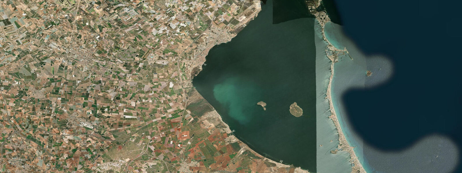
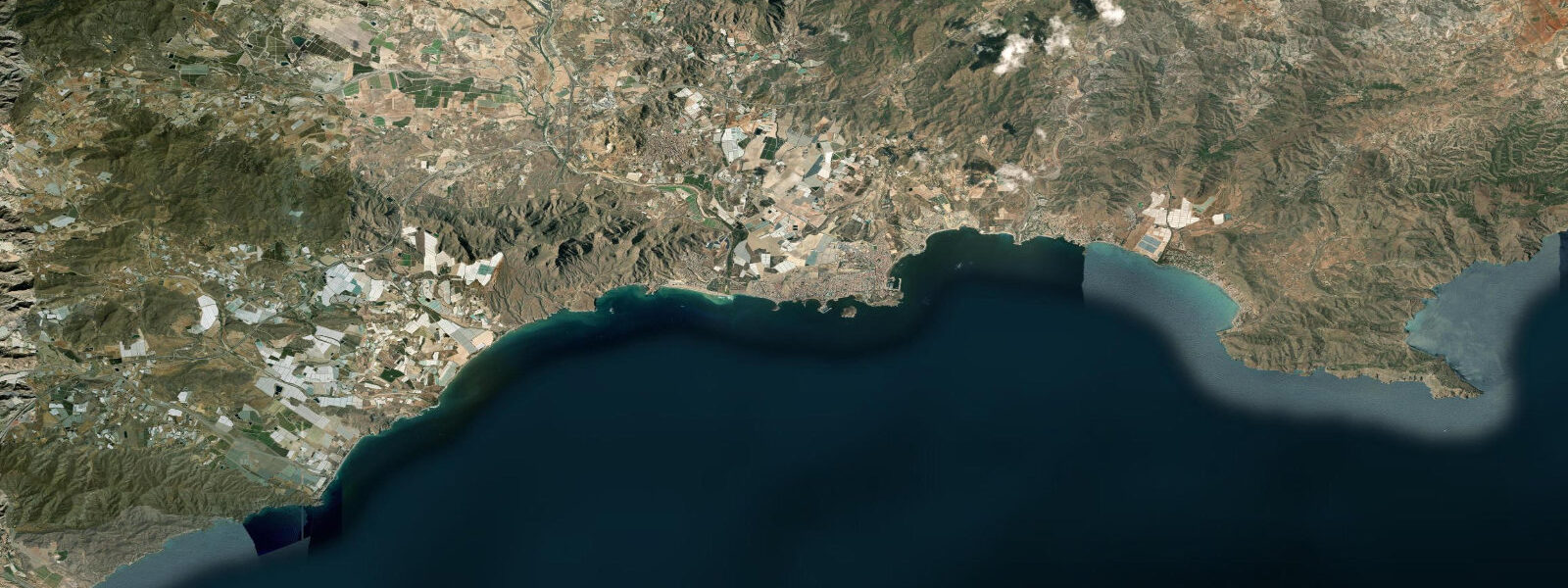
The dive coast stretches along the outer approaches to the harbour and along the Cabo Tiñoso headland, 15 km southwest of the city. The Islas Hormigas, a cluster of rocky islets at the southern edge of the Calblanque protected area, are among the most-dived sites on the Spanish Mediterranean: a wall dropping to 40 m with dense gorgonian fans (Paramuricea clavata) and periodic large pelagic visitors. Entry is by boat from Cartagena or Cabo de Palos marina, approximately 35–45 minutes by RIB. The tidal current around the Hormigas is negligible — typically 0.1–0.2 knots at peak flow — but the nutrient-rich upwelling from the Atlantic inflow along the Almería–Orán front that periodically affects this coast raises biological productivity well above typical Mediterranean levels.
For shore fishing, the rocky coastline between Cartagena and Cabo Tiñoso offers access to sea bream (dorada), sea bass (lubina), and grouper (mero) from the rock ledges. The best sessions are at dawn and dusk; the microtidal range means the tidal state matters less here than current direction and bait availability. The rock platforms at Cala del Gato and Cala Cortina, both within 10 km of the city, are the most accessible entry points.
Cartagena has direct rail and road links to Murcia city (50 km) and Valencia (4 hours). The naval base means the harbour is subject to periodic security restrictions on small boat movements in the inner basin.
Tide data for Cartagena comes from the Open-Meteo Marine API, supplemented by authoritative Puertos del Estado harmonic data for this gauge station. Open-Meteo timing accuracy is ±45 minutes, height accuracy ±0.2–0.3 m. For navigation, use Puertos del Estado official predictions directly.
Tide questions about Cartagena
Quick answers to the most common questions about tide times, range, and water access at Cartagena.
What is the tidal range at Cartagena, and does it affect the marina?
The mean tidal range at Cartagena is approximately 0.2–0.3 m, based on Puertos del Estado gauge data. Spring tides rarely exceed 0.3 m. The harbour entrance has been in use since the Carthaginian period precisely because the topography filters out swell — tidal state has no practical effect on marina access or harbour entry. The signal is real and detectable on the curve, but the total height change is less than the freeboard of any vessel using the port. Wind-driven sea level setup during strong levante (easterly) winds produces more variation than the astronomical tide.
What can I see at the Muralla Púnica (Carthaginian walls) in Cartagena?
The Muralla Púnica is a section of the original Carthaginian defensive wall, dated to the 3rd–2nd century BCE, preserved at street level in the Barrio Universitario. The surviving courses are ashlar-laid sandstone blocks, pre-dating the Roman occupation of the site. Access is through the adjacent interpretation centre, which contextualises the construction sequence alongside the later Roman masonry built directly on top. The Roman theatre, separately accessible nearby, is the larger draw — a 6,000-seat cavea rediscovered in 1988 under a medieval neighbourhood and now fully excavated — but the Muralla Púnica is one of the only surviving above-ground Carthaginian military structures in western Europe.
Is scuba diving accessible from Cartagena, and what are the main sites?
The main dive sites are offshore, not accessible from shore without a significant swim. The Islas Hormigas, 35–45 minutes by RIB from Cartagena or Cabo de Palos, are the headline destination: a wall dropping to 40 m with dense gorgonian fans and strong visibility, often exceeding 20 m. The Calblanque natural park coast has more accessible shore diving, but the current from the Almería–Orán upwelling front periodically improves visibility across the whole southern Murcia coast. Tidal current at the Hormigas is minimal (0.1–0.2 knots at peak), so dive timing is driven by weather window and boat operator schedules rather than tidal state. Several dive centres operate from Cabo de Palos marina.
Where is shore fishing productive around Cartagena?
The rock ledges between Cartagena and Cabo Tiñoso are the primary shore-fishing ground. Cala del Gato and Cala Cortina, both within 10 km of the city, offer accessible entry to the platform rock above the drop-off. Target species are sea bream (dorada), sea bass (lubina), and grouper (mero). Dawn and dusk are the productive windows; the microtidal range (0.2–0.3 m) makes tidal timing a secondary consideration — current direction and season (spring sea bass runs; summer dorada) are more predictive. Light to medium bottom tackle or paternoster rigs are standard; the rough bottom snags heavy terminal gear.
Is tide data on TideTurtle for Cartagena safe to use for navigation?
No. The tide predictions displayed on TideTurtle for Cartagena come from the Open-Meteo Marine model, which carries accuracy of ±45 minutes in timing and ±0.2–0.3 m in height. These figures are adequate for activity planning — choosing when to visit a beach, estimating low-water access windows, timing a dive entry. For navigation, passage planning, or any safety-critical application, use the authoritative Puertos del Estado tide tables for the Cartagena gauge directly. The Spanish port authority's harmonic analysis of their gauge record is the official source for this location.
8-day tide table — Cartagena
Heights relative to MSL. Predictions: Open-Meteo Marine (MeteoFrance SMOC, 0.08° grid) — heights relative to MSL (not chart datum / LAT). Model-derived.
| Day | Type | Time | Height |
|---|---|---|---|
| Sun 21 Jun | High | 07:00 | -0.4m |
| Mon 22 Jun | — | ||
| Tue 23 Jun | — | ||
| Wed 24 Jun | Low | 08:00 | -0.5m |
| Thu 25 Jun | — | ||
| Fri 26 Jun | — | ||
| Sat 27 Jun | High | 01:00 | -0.4m |
| Low | 09:00 | -0.6m | |
| Sun 28 Jun | High | 01:00 | -0.4m |