Vigo tide times
Vigo tide forecast — heights relative to MSL.
Today's tide times for Vigo
Tide times at Vigo on Friday, 19 June 2026: first low tide at 02:00, first high tide at 19:52. Sunrise 06:58, sunset 22:13.
Tide chart for Vigo
24-hour cosine-interpolated curve around the present moment. Heights relative to MSL. Predictions: Predictions: Open-Meteo Marine (MeteoFrance SMOC, 0.08° grid).
Sun, moon and conditions on Fri 19 Jun
Snapshot at build time — refreshes daily. Sea state from Open-Meteo Marine.
Highs and lows next 7 days
Every predicted high and low for the next week, with the daily tidal coefficient (0–120; higher = bigger swing, > 95 means stronger currents).
Other spots nearby
The three closest curated TideTurtle locations to Vigo, measured by great-circle distance.
Today's solunar windows
Solunar tradition: major periods are the ≈3h windows around moon transit and opposition; minor are ≈2h around moonrise and moonset. Pair with the local tide stage and wind for the best read.
Cycle dates near Vigo
Last spring tide on Fri 19 Jun (range 2.9m). Next neap on Wed 24 Jun.
Spring tides cluster around new and full moons (biggest swings). Neap tides land on quarter moons (smallest swings). See the spring tide and neap tide glossary entries for the why.
About tides at Vigo
A short guide to the coastline at Vigo — geography, sea state, and what the tide is actually doing under your feet.
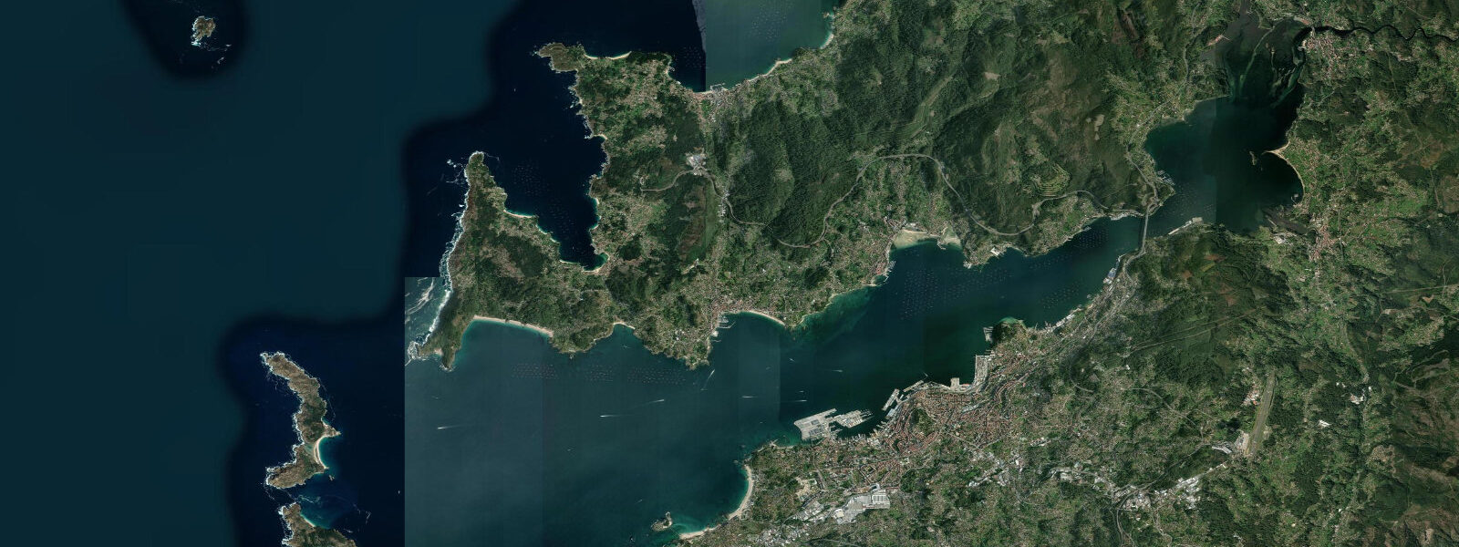
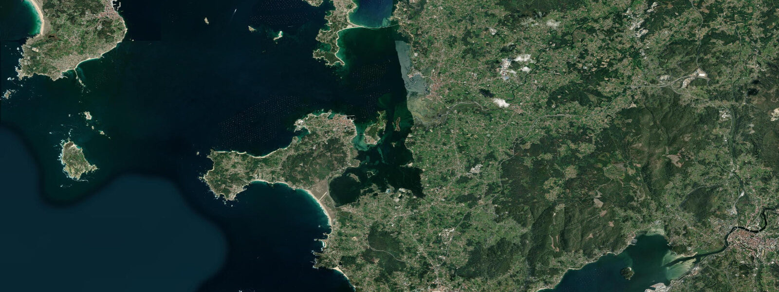
Vigo occupies the southern shore of the Ría de Vigo, the southernmost of Galicia's four large Atlantic estuaries. The ría cuts 30 kilometres inland from the Atlantic coast, and the tidal regime at Vigo is semidiurnal with a mean spring range of approximately 3.8 metres above chart datum — a proper Atlantic range that empties the ría's intertidal mussel and clam beds twice daily and drives the production cycle of the bateas, the timber-framed floating mussel rafts that define the visual character of the ría.
The Ría de Vigo holds over 3,000 bateas — rope-hung wooden platforms from which blue mussel (Mytilus galloprovincialis) lines are suspended in the water column, drawing nutrients from the upwelled cold Atlantic water that enters the ría on the flood tide. Production is approximately 40% of global rope-cultivated mussel output. The bateas are the reason the ría looks the way it does: rows of floating platforms stretching from the shore to the centre of the ría, worked by small vessels at all tidal states. Low water is when the mussel farmers check their lines; high water is when the vessels can reach the inner-ría bateas nearest the shore without grounding.
The Cíes Islands — three islands (Monteagudo, do Faro, and San Martiño) at the mouth of the ría — are a national park and part of the Atlantic Islands of Galicia National Park. Day-trip ferry access from Vigo's port runs April through October; a strict annual visitor quota limits total entries. The beaches on Praia das Rodas (voted by the Guardian as Europe's best beach in 2007) are accessible to the shoreline at mid-to-high tide and expose sand bars at low water. Camping on the islands requires a reservation through the national park office. The Cíes lighthouse on Illa do Faro has been operating since 1852.
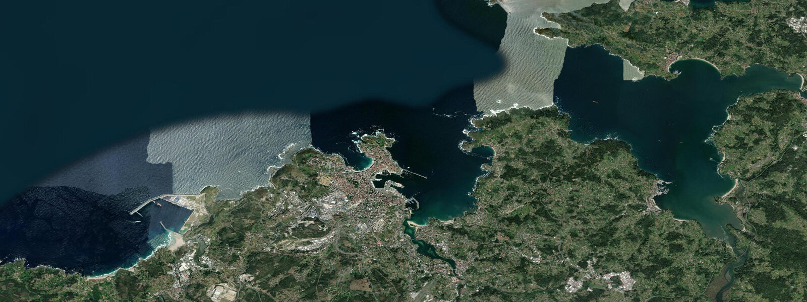
Baiona, 25 kilometres south of Vigo, was the first European port to receive news of Columbus's voyage: the Pinta caravel arrived in Baiona harbour in March 1493 before Columbus himself reached mainland Spain. A full-scale replica of the Pinta is moored in Baiona harbour as a museum ship. The medieval Monterreal fortress on the peninsula enclosing the harbour is now a state parador hotel.
For anglers, bass (lubina) run along the rocky shoreline of the ría mouth and around the Cíes Islands on the ebb, following baitfish compressed by the outgoing current. The rock marks along Cabo Estai and around the Toralla Island bridge are productive from April through October. Boat fishing from the Vigo marina targets sea bream (dorada, besugo) on the ría floor channels at depth.
Predictions on this page come from Open-Meteo Marine, a gridded global ocean model. Accuracy is typically within plus or minus 45 minutes on timing and 0.2 to 0.3 metres on height — model-derived, not from a local gauge. For authoritative Spanish tide data, consult Puertos del Estado (puertos.es/es/estadisticas-y-datos-del-mar).
Tide questions about Vigo
Quick answers to the most common questions about tide times, range, and water access at Vigo.
What are the floating platforms (bateas) in the Ría de Vigo?
Bateas are traditional Galician mussel-cultivation rafts — timber-framed floating platforms from which long ropes of mussels (Mytilus galloprovincialis) are suspended in the water column. The Ría de Vigo holds over 3,000 bateas and produces approximately 40% of the world's rope-cultivated mussel output. The productivity depends on the ría's hydrodynamics: cold, nutrient-rich Atlantic water upwells onto the shelf and enters the ría on the flood tide, feeding phytoplankton and by extension the mussels on the ropes. The semidiurnal tidal exchange — mean spring range 3.8 metres at Vigo — drives the nutrient circulation. The mussels take approximately 12 to 18 months on the ropes before reaching market size.
How do you get to the Cíes Islands from Vigo?
Naviera Mar de Ons operates the official ferry service from Vigo's port (Estación Marítima de Ría) to the Cíes Islands. The crossing takes 45 minutes to 1 hour depending on conditions. Ferries run from late March or April through October, with frequency increasing in July and August. A national park entry permit is required in addition to the ferry ticket — the annual visitor quota fills well in advance for peak summer dates, so book both the ferry and the park entry permit simultaneously through the official Reservas Parques Nacionales system well ahead of your visit. Arrive at the port with time to spare; departures are tide-assisted and the ferry schedule respects ría sea conditions.
What is the best time of day to fish for bass near Vigo?
The most productive bass (lubina) windows at the rock marks around the Ría de Vigo mouth — Cabo Estai, the rocky shoreline south toward Baiona, and the Cíes island marks when accessible by boat — are the 2 hours before and after low water on the ebb, when baitfish concentrate in the outgoing current through the rocky channels and bass ambush them. Night fishing on a spring ebb tide outperforms daytime in summer. Surface lures (poppers, stickbaits) work well in the evening across the rocky outcrops, while soft-plastic jigs fished slow and deep in the ría channels produce sea bream. A freshwater fishing licence plus a saltwater recreational permit is required for shore fishing in Galicia — check Xunta de Galicia's fishing regulations for current species limits.
Is kayaking possible in the Ría de Vigo?
The ría is a large body of water with moderate to strong tidal currents in the main channel, moderate ferry and commercial vessel traffic, and Atlantic swells pushing in from the ría mouth on southwest winds. Kayaking is practical inside the ría — the sheltered inner reaches near Vigo and along the north shore toward Redondela are calmer water with minimal commercial traffic. The outer ría near the Cíes Islands should only be approached by experienced sea kayakers with sound tidal current knowledge: the ebb current through the channel between the Cíes and the mainland reaches 2 to 3 knots on spring tides and conditions can deteriorate quickly with a southwest blow. A local guide or kayak school based in Vigo is recommended for first visits.
What is the connection between Baiona and Columbus?
On 1 March 1493, the Pinta — one of the three caravels from Columbus's first voyage — arrived in Baiona harbour (then called Bayona), 25 kilometres south of Vigo. The Pinta's captain, Martín Alonso Pinzón, had separated from Columbus's fleet during the return crossing and reached Baiona before Columbus made landfall in Lisbon. This made Baiona the first place in Europe to receive news of the discovery of the Americas. A full-scale replica of the Pinta is moored in the harbour as a museum ship open to visitors. The medieval Monterreal fortress enclosing the harbour headland is now a state-run parador hotel with unobstructed views of the ría mouth — the same view the Pinta's crew would have seen on their approach.
8-day tide table — Vigo
Heights relative to MSL. Predictions: Open-Meteo Marine (MeteoFrance SMOC, 0.08° grid) — heights relative to MSL (not chart datum / LAT). Model-derived.
| Day | Type | Time | Height |
|---|---|---|---|
| Fri 19 Jun | Low | 02:00 | -1.8m |
| High | 19:52 | 1.1m | |
| Sat 20 Jun | Low | 02:16 | -1.7m |
| High | 20:46 | 0.9m | |
| Sun 21 Jun | Low | 03:12 | -1.6m |
| High | 09:22 | 0.4m | |
| Low | 15:24 | -1.4m | |
| High | 21:43 | 0.6m | |
| Mon 22 Jun | Low | 04:08 | -1.4m |
| High | 10:27 | 0.3m | |
| Low | 16:24 | -1.2m | |
| High | 22:44 | 0.4m | |
| Tue 23 Jun | Low | 05:09 | -1.3m |
| High | 23:50 | 0.3m | |
| Wed 24 Jun | Low | 06:04 | -1.2m |
| Thu 25 Jun | High | 00:53 | 0.3m |
| Low | 07:05 | -1.2m | |
| High | 13:26 | 0.4m | |
| Low | 19:39 | -1.2m | |
| Fri 26 Jun | High | 01:00 | 0.2m |