Cambados tide times
Cambados tide forecast — heights relative to MSL.
Today's tide times for Cambados
Tide times at Cambados on Friday, 19 June 2026: first low tide at 02:00, first high tide at 07:37, second low tide at 13:33, second high tide at 19:54. Sunrise 06:57, sunset 22:15.
Tide chart for Cambados
24-hour cosine-interpolated curve around the present moment. Heights relative to MSL. Predictions: Predictions: Open-Meteo Marine (MeteoFrance SMOC, 0.08° grid).
Sun, moon and conditions on Fri 19 Jun
Snapshot at build time — refreshes daily. Sea state from Open-Meteo Marine.
Highs and lows next 7 days
Every predicted high and low for the next week, with the daily tidal coefficient (0–120; higher = bigger swing, > 95 means stronger currents).
Other spots nearby
The three closest curated TideTurtle locations to Cambados, measured by great-circle distance.
Today's solunar windows
Solunar tradition: major periods are the ≈3h windows around moon transit and opposition; minor are ≈2h around moonrise and moonset. Pair with the local tide stage and wind for the best read.
Cycle dates near Cambados
Last spring tide on Fri 19 Jun (range 3.0m). Next neap on Thu 25 Jun.
Spring tides cluster around new and full moons (biggest swings). Neap tides land on quarter moons (smallest swings). See the spring tide and neap tide glossary entries for the why.
About tides at Cambados
A short guide to the coastline at Cambados — geography, sea state, and what the tide is actually doing under your feet.
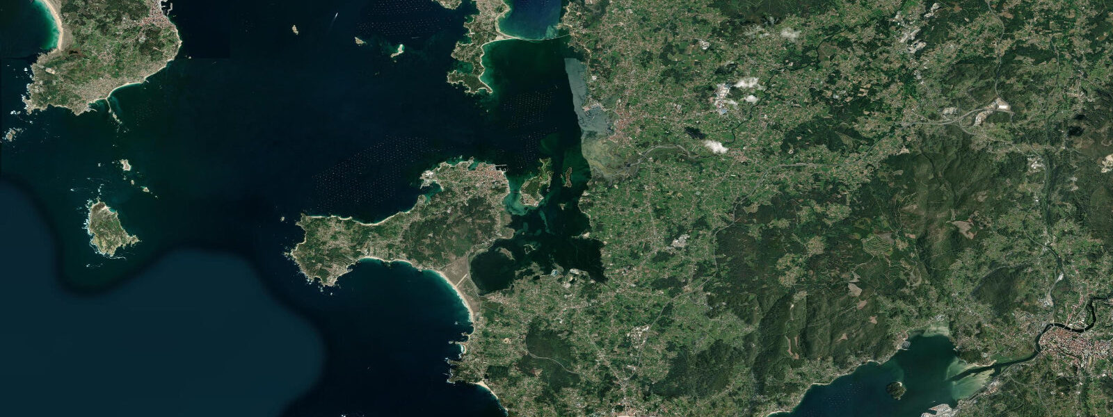
Cambados sits on the western shore of the Ría de Arousa, the largest of Galicia's Atlantic rías by surface area, where the mean spring tidal range reaches approximately 4.0 metres above chart datum. The town is the acknowledged capital of Rías Baixas wine country — the Denominación de Origen Rías Baixas covers five sub-zones, and the sub-zone of Val do Salnés, centred on Cambados, produces the albariño varietal that has become Galicia's most exported white wine, characterised by Atlantic minerality and high acidity that complements shellfish from the same estuary waters.
The Ría de Arousa is the most productive shellfish estuary in Europe. The combination of Atlantic upwelling, semidiurnal tidal exchange (which cycles nutrient-rich bottom water through the ría twice daily), and relatively shallow bathymetry creates optimal conditions for cockle (berberecho), clam (almeja fina), and mussel cultivation managed by cofradías — the fishing guilds that have regulated shellfish beds in Galician rías since the mediaeval period. The beds are zoned by the cofradía de pescadores de Cambados, which controls harvesting times, methods, and quantities. Low water exposes the gravel and sand flats where women (mariscadoras) work the clam beds by hand with short rakes — a scene unchanged in method since before industrialisation. The tidal timing is the operational driver: the beds are accessible only during the low-water window, typically 1.5 to 2.5 hours of working time around the low.
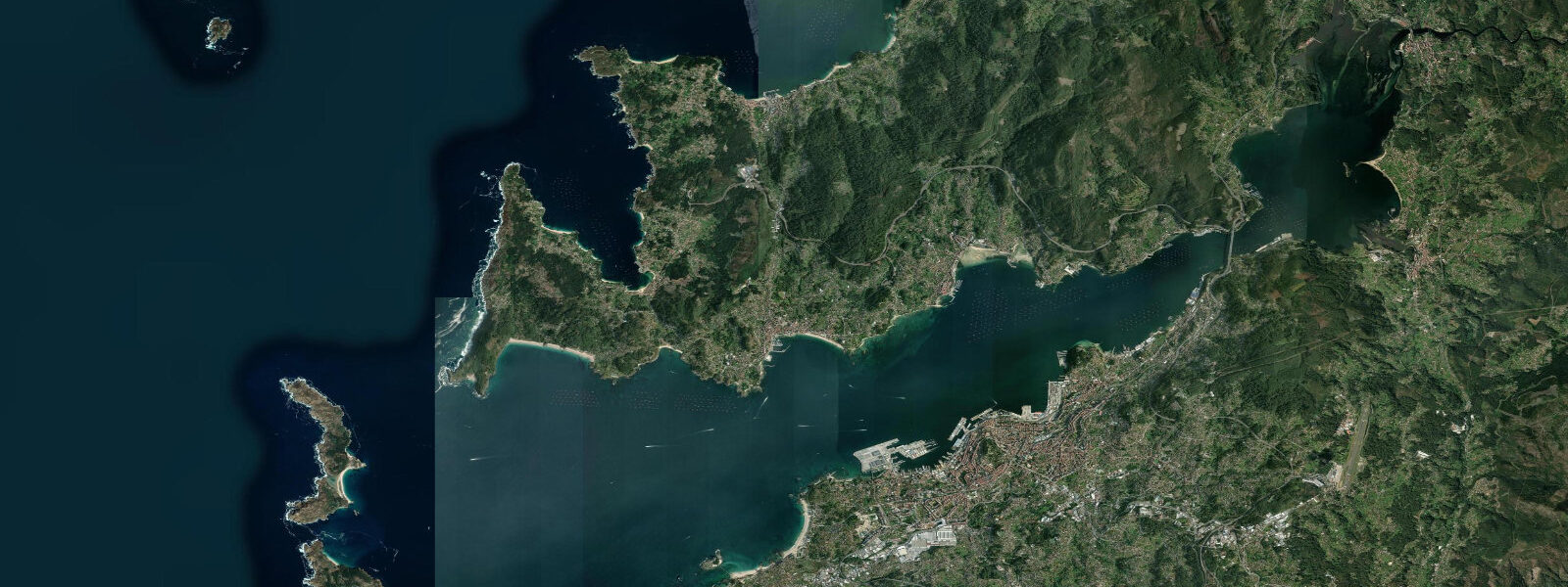
The O Grove peninsula, 8 kilometres north across the Pedras Negras channel, holds the Aquarium of the Atlantic at O Grove and, in October, the Festa do Marisco O Grove — one of the largest seafood festivals in Galicia, running for a full week with live scallops, percebes (barnacles), and local albariño. The festival timing aligns loosely with the October spring tides, when the shellfish beds are at maximum productivity after the autumn flush.
Toxa Island (A Toxa), connected to O Grove by a short bridge, holds a thermal spa hotel resort built on the island's mineral spring — a different kind of coastal resource from the surrounding estuary, but part of the same geography. The small chapel on Toxa, its exterior walls covered in scallop shells, is one of the more photographed architectural oddities on the Galician coast.
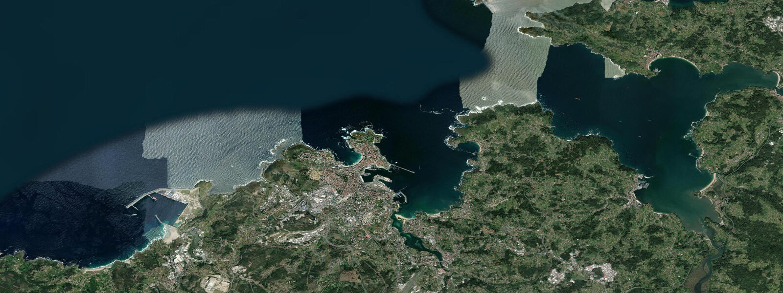
For kayakers, the inner ría between Cambados and O Grove is well-sheltered, with the tide working in predictable 4-metre cycles that give clear visual cues to water level throughout the day. The outer ría — toward Arousa Island (Illa de Arousa) and the ría mouth — carries more commercial traffic from the port of Vilagarcía de Arousa and requires more open-water confidence.
Predictions on this page come from Open-Meteo Marine, a gridded global ocean model. Accuracy is typically within plus or minus 45 minutes on timing and 0.2 to 0.3 metres on height — model-derived, not from a local gauge. For authoritative Spanish tide data, consult Puertos del Estado (puertos.es/es/estadisticas-y-datos-del-mar).
Tide questions about Cambados
Quick answers to the most common questions about tide times, range, and water access at Cambados.
What is the connection between the tides and albariño wine in Cambados?
The connection is indirect but real. The albariño vine thrives in Galicia's Atlantic-influenced climate — high humidity, moderate temperatures, significant rainfall — the same climatic system that drives the Atlantic upwelling and tidal exchange in the Ría de Arousa. The granite soils of the Val do Salnés sub-zone, combined with the maritime air that moves up the ría on the flood tide, create the growing conditions that give albariño its characteristic salinity and acidity. The wine and the shellfish are products of the same estuarine geography. The Museo do Viño (Wine Museum of Galicia) in Cambados is housed in the ruins of a 17th-century pazo and provides context for both the vine and the ría.
Can visitors watch the mariscadoras working the clam beds?
The mariscadoras (clam harvesters, traditionally women) work the tidal flats around Cambados and O Grove during the low-water window — typically 1.5 to 2.5 hours around low tide. The work is not a tourist performance; it is active commercial harvesting regulated by the cofradía. Visitors can observe from the shoreline at low water, particularly along the Praia da Illa road south of Cambados, where the exposed sand flats are accessible and the harvest is visible from the bank. Photography is accepted at a respectful distance. Do not walk onto the active harvest areas — the beds are managed property and the cofradía controls access. Low tides on spring days (within 2 to 3 days of new or full moon) expose the largest area of flats.
When is the O Grove Seafood Festival?
The Festa do Marisco de O Grove runs for approximately 10 days in October — usually the second and third weeks of the month. The event is held on the O Grove waterfront and features local shellfish (percebes, almejas, berberechos, mejillones, nécoras) served from stands alongside Rías Baixas albariño wine and live music. It is one of the most attended food festivals in Galicia, drawing visitors from across Spain. Entry to the festival grounds is free; food and drink are purchased at stands. The October timing aligns with the autumn flush of Atlantic plankton into the ría, when shellfish are at their fattest and most flavourful. Book accommodation in O Grove and Cambados months in advance if visiting during festival week.
Is there kayak access to Toxa Island?
Toxa Island (A Toxa) is connected to O Grove by a road bridge, so it is accessible by land. By kayak, the crossing from O Grove or from Cambados is short and sheltered — the channel between the peninsula and the island is narrow and well-protected from Atlantic swell. The island's shoreline is mostly developed (spa hotel, residential buildings) with limited open beach, but the circumnavigation takes 45 minutes to 1 hour at a relaxed paddle and provides views back across the ría toward Cambados's waterfront. The bridge crossing under low clearance requires caution on high tides — check the clearance at your specific water level before attempting. The inner ría between Cambados and O Grove is suitable for intermediate paddlers on calm days.
How does the tidal range affect shellfish harvesting in the Ría de Arousa?
The approximately 4.0-metre mean spring range at Cambados determines both when harvesting is possible and how productive the beds are. At low water on a spring tide the sand and gravel flats that hold clam (almeja) populations are exposed by 3 to 4 metres of water dropping off, giving the mariscadoras access to the full extent of the beds for up to 2.5 hours. On neap tides the water drops less — 2 to 2.5 metres — exposing fewer beds for a shorter window. The tidal exchange also drives productivity: each flood brings cold, nutrient-rich Atlantic water from depth into the ría, feeding the phytoplankton that shellfish filter-feed on. The Ría de Arousa's combination of large tidal exchange and protected geometry makes it the most productive shellfish estuary in Europe.
8-day tide table — Cambados
Heights relative to MSL. Predictions: Open-Meteo Marine (MeteoFrance SMOC, 0.08° grid) — heights relative to MSL (not chart datum / LAT). Model-derived.
| Day | Type | Time | Height |
|---|---|---|---|
| Fri 19 Jun | Low | 02:00 | -1.9m |
| High | 07:37 | 0.8m | |
| Low | 13:33 | -1.6m | |
| High | 19:54 | 1.1m | |
| Sat 20 Jun | Low | 02:18 | -1.8m |
| High | 08:32 | 0.6m | |
| Low | 14:27 | -1.5m | |
| High | 20:49 | 0.9m | |
| Sun 21 Jun | Low | 03:14 | -1.6m |
| High | 09:27 | 0.4m | |
| Low | 15:24 | -1.4m | |
| High | 21:45 | 0.6m | |
| Mon 22 Jun | Low | 04:10 | -1.5m |
| High | 22:45 | 0.4m | |
| Tue 23 Jun | Low | 05:11 | -1.4m |
| High | 11:33 | 0.3m | |
| Low | 17:33 | -1.2m | |
| High | 23:52 | 0.3m | |
| Wed 24 Jun | Low | 06:07 | -1.2m |
| High | 12:33 | 0.3m | |
| Low | 18:40 | -1.1m | |
| Thu 25 Jun | High | 00:55 | 0.3m |
| Low | 07:06 | -1.2m | |
| Fri 26 Jun | High | 01:00 | 0.2m |