Santa Cruz de Tenerife tide times
Santa Cruz de Tenerife tide forecast — heights relative to MSL.
Today's tide times for Santa Cruz de Tenerife
Tide times at Santa Cruz de Tenerife on Friday, 19 June 2026: first low tide at 02:00, first high tide at 05:57, second low tide at 11:52, second high tide at 18:10. Sunrise 08:07, sunset 22:04.
Tide chart for Santa Cruz de Tenerife
24-hour cosine-interpolated curve around the present moment. Heights relative to MSL. Predictions: Predictions: Open-Meteo Marine (MeteoFrance SMOC, 0.08° grid).
Sun, moon and conditions on Fri 19 Jun
Snapshot at build time — refreshes daily. Sea state from Open-Meteo Marine.
Highs and lows next 7 days
Every predicted high and low for the next week, with the daily tidal coefficient (0–120; higher = bigger swing, > 95 means stronger currents).
Other spots nearby
The three closest curated TideTurtle locations to Santa Cruz de Tenerife, measured by great-circle distance.
Today's solunar windows
Solunar tradition: major periods are the ≈3h windows around moon transit and opposition; minor are ≈2h around moonrise and moonset. Pair with the local tide stage and wind for the best read.
Cycle dates near Santa Cruz de Tenerife
Last spring tide on Fri 19 Jun (range 1.8m). Next neap on Wed 24 Jun.
Spring tides cluster around new and full moons (biggest swings). Neap tides land on quarter moons (smallest swings). See the spring tide and neap tide glossary entries for the why.
About tides at Santa Cruz de Tenerife
A short guide to the coastline at Santa Cruz de Tenerife — geography, sea state, and what the tide is actually doing under your feet.
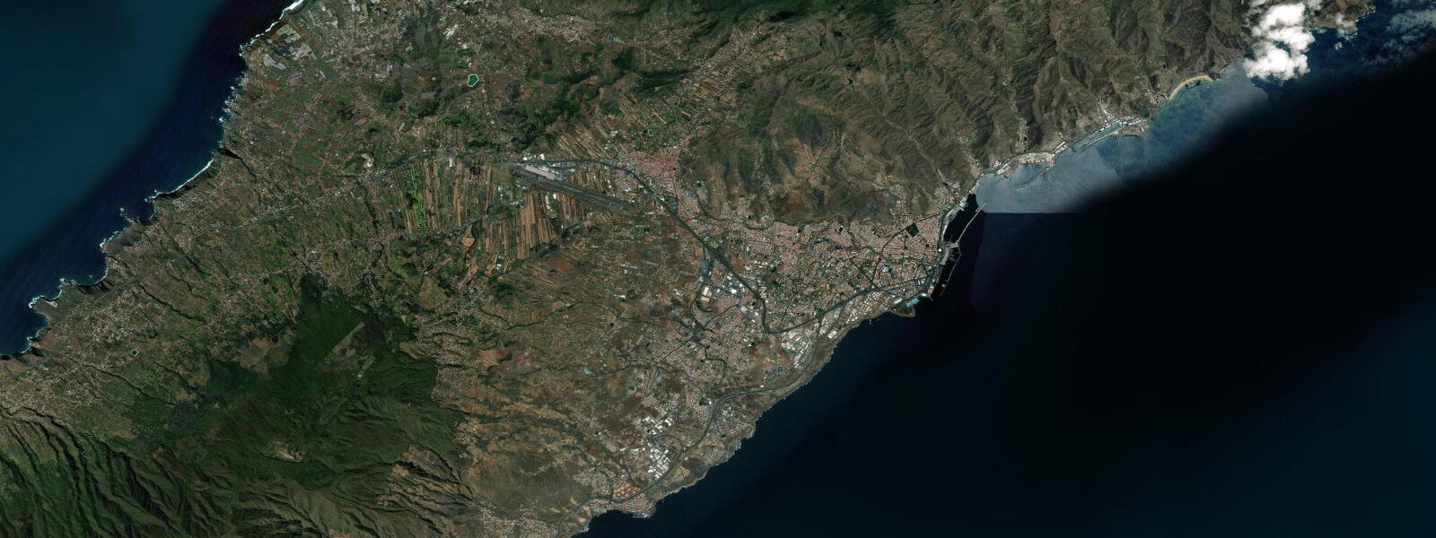
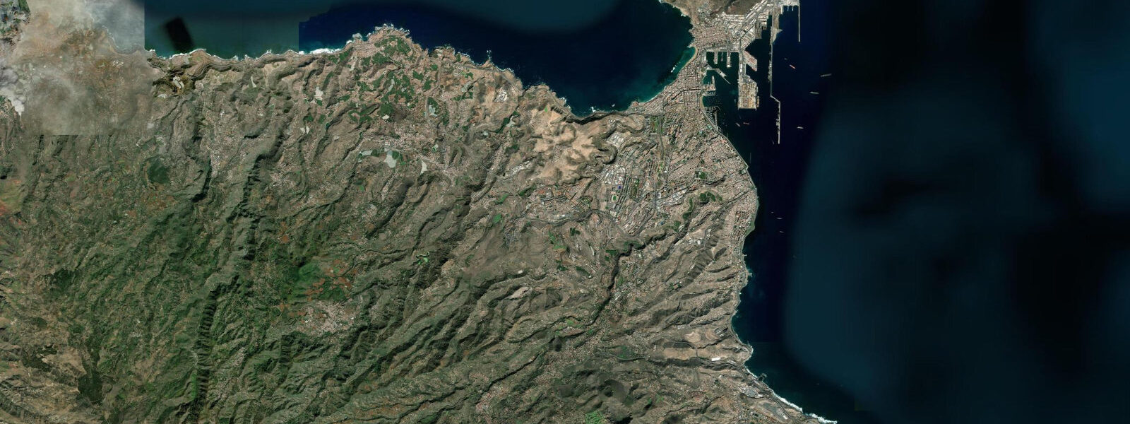
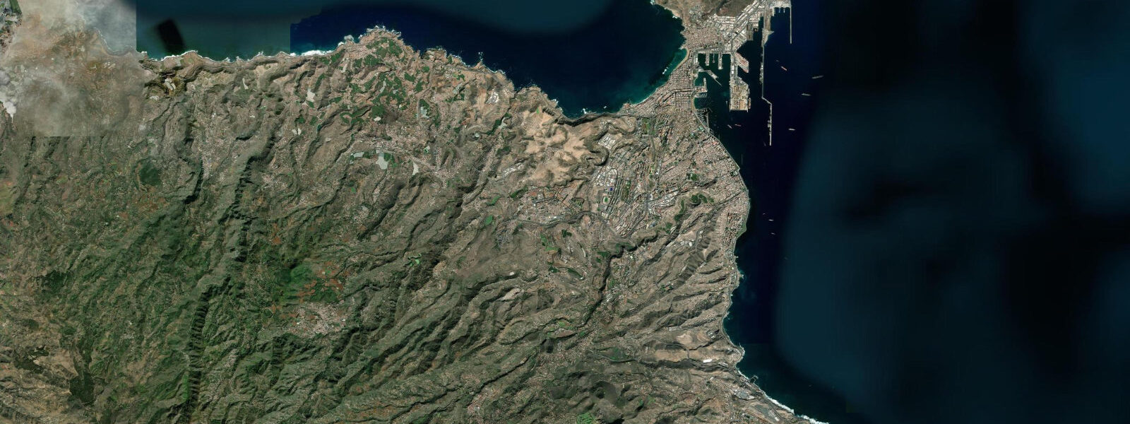
Santa Cruz de Tenerife is the administrative capital of the Canary Islands and the city that spent decades in Las Palmas's shadow before finding its own identity. The harbour is one of the busiest ship-bunkering ports in the world — Tenerife sits at the intersection of Europe–South America and Europe–West Africa shipping lanes, and the fuel infrastructure reflects that. Behind the port, the city is more liveable and less tourist-facing than the resort strip in the south: the Auditorio de Tenerife (the wave-shaped Calatrava building that became the island's visual signature), the Mercado Nuestra Señora de África, and the Carnaval de Santa Cruz, which consistently rivals Rio's in scale if not global profile.
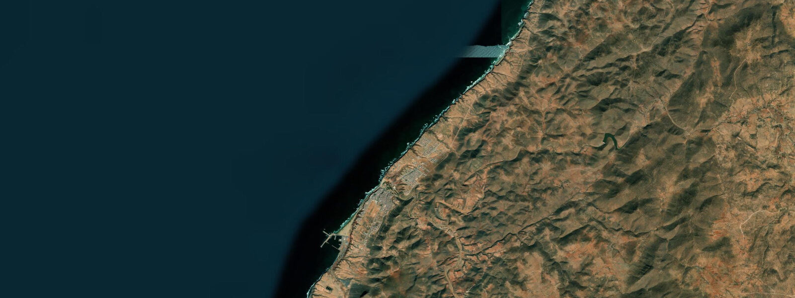
Tidal range is 1.2 to 1.8 metres at springs — mid-Atlantic Canarian. The city's main swimming beach, the Playa de Las Teresitas, is north of the centre near the village of San Andrés: a curved kilometre of imported Saharan sand (brought over by barge in the 1970s) protected by a constructed breakwater that keeps the Atlantic swell off the bathing zone. The beach works at all tide stages. The natural coastal stretch north of Las Teresitas, toward the Anaga rural park, has rougher access but dramatically clearer water.
The Anaga peninsula, the ancient forested massif that dominates the northeast corner of Tenerife, drops to a series of small beaches — Playa de Roque de las Bodegas, Playa de Benijo — that are accessible by road and on foot. Benijo is the surfing beach: an exposed right-hander and beach break that catches north and northeast swell from October through April, with offshore winds making conditions clean in the mornings before the trade wind fills in. The access road is steep; arrive early.
The natural tidal pools (charcos) around the Anaga headlands function as swimming spots independent of sea state. La Caleta de Interián and similar coastal ledges hold water through all tide stages and are popular with local families. The trade wind that blows from the northeast defines daily conditions: it picks up after 10:00, builds through early afternoon, and typically eases after sunset. Downwind sailing from Santa Cruz toward the south of the island and back is a classic local day trip.
The fish auction at Muelle Pesquero runs early mornings when the fleet is in port. Santa Cruz has two fish markets and a seafood scene that is more honest than the resort strip 50 kilometres south: vieja (parrotfish), sama (red porgy), and cherne (wreckfish) at prices that reflect the working waterfront rather than the tourist premium.
Predictions on this page come from Open-Meteo Marine, a gridded global ocean model. Accuracy is typically within plus or minus 45 minutes on timing and 0.2 to 0.3 metres on height — model-derived, not from a local gauge. For authoritative Spanish tide data, consult Puertos del Estado.
Tide questions about Santa Cruz de Tenerife
Quick answers to the most common questions about tide times, range, and water access at Santa Cruz de Tenerife.
What is the tidal range at Santa Cruz de Tenerife?
Santa Cruz has a spring tidal range of 1.2 to 1.8 metres, typical for the Canary Islands' Atlantic position. The constructed breakwater at Playa de Las Teresitas suppresses most swell influence, making tide state less critical for beach swimming. On the natural coast around Anaga, tidal timing matters more — access to lower rock platforms and charcos (tidal pools) is better at mid to low tide.
Is Playa de Las Teresitas worth visiting?
Yes — it is the best beach convenient to Santa Cruz city and one of the more unusual in the Canaries. The sand was imported from the Western Sahara in the 1970s, creating a sheltered golden-sand beach in a bay that would otherwise be rocky shoreline. The breakwater keeps swell off, making it calm even on active trade-wind days. It gets crowded on weekends and in summer; arrive before 10:00 for a good spot.
Where do surfers go near Santa Cruz?
Playa de Benijo, about 25 kilometres north via the Anaga rural park, is the main surf destination near the capital. It is an exposed right-hand reef and beach break that works best on north and northeast swell, October through April, with offshore conditions in the morning before trade winds arrive. The access road is steep and narrow. El Socorro and Almáciga nearby also get waves on similar swell windows.
When is the Carnaval de Santa Cruz?
Santa Cruz Carnaval runs in February, typically for ten days spanning the Catholic carnival period before Lent. It is officially one of the largest carnivals in the world and draws 200,000–300,000 people on peak nights. The election of the Carnival Queen and the Coso parade on the final Saturday are the headline events. Book accommodation months in advance — the island fills completely. The Burial of the Sardine (Entierro de la Sardina) marks the official close.
What fish should I order in Santa Cruz restaurants?
The local catch from the Canarian bank: vieja (parrotfish, often grilled whole), sama (red porgy), and cherne (wreckfish). Papas arrugadas (wrinkled potatoes with mojo rojo sauce) are the standard accompaniment. The Mercado Nuestra Señora de África has fish stalls where local species are clearly labelled and cheaper than restaurant menus. Avoid tourist-oriented menus in the port area — walk two streets inland.
8-day tide table — Santa Cruz de Tenerife
Heights relative to MSL. Predictions: Open-Meteo Marine (MeteoFrance SMOC, 0.08° grid) — heights relative to MSL (not chart datum / LAT). Model-derived.
| Day | Type | Time | Height |
|---|---|---|---|
| Fri 19 Jun | Low | 02:00 | -0.7m |
| High | 05:57 | 0.5m | |
| Low | 11:52 | -0.9m | |
| High | 18:10 | 0.8m | |
| Sat 20 Jun | Low | 00:40 | -1.1m |
| High | 06:50 | 0.4m | |
| Low | 12:47 | -0.8m | |
| High | 19:06 | 0.6m | |
| Sun 21 Jun | Low | 01:37 | -1.0m |
| High | 07:46 | 0.3m | |
| Low | 13:42 | -0.8m | |
| High | 20:01 | 0.5m | |
| Mon 22 Jun | Low | 14:40 | -0.7m |
| High | 21:02 | 0.3m | |
| Tue 23 Jun | Low | 15:51 | -0.6m |
| High | 22:10 | 0.3m | |
| Wed 24 Jun | Low | 17:00 | -0.6m |
| High | 23:13 | 0.3m | |
| Thu 25 Jun | Low | 05:25 | -0.7m |
| High | 11:48 | 0.3m | |
| Low | 18:00 | -0.7m | |
| Fri 26 Jun | High | 00:11 | 0.3m |