Las Palmas de Gran Canaria tide times
Las Palmas de Gran Canaria tide forecast — heights relative to MSL.
Today's tide times for Las Palmas de Gran Canaria
Tide times at Las Palmas de Gran Canaria on Friday, 31 July 2026: first low tide at 02:00, first high tide at 03:43, second low tide at 09:37, second high tide at 15:56, third low tide at 22:13. Sunrise 08:23, sunset 21:53.
Tide chart for Las Palmas de Gran Canaria
24-hour cosine-interpolated curve around the present moment. Heights relative to MSL. Predictions: Predictions: Open-Meteo Marine (MeteoFrance SMOC, 0.08° grid).
Sun, moon and conditions on Fri 31 Jul
Snapshot at build time — refreshes daily. Sea state from Open-Meteo Marine.
Highs and lows next 7 days
Every predicted high and low for the next week, with the daily tidal coefficient (0–120; higher = bigger swing, > 95 means stronger currents).
Other spots nearby
The three closest curated TideTurtle locations to Las Palmas de Gran Canaria, measured by great-circle distance.
Today's solunar windows
Solunar tradition: major periods are the ≈3h windows around moon transit and opposition; minor are ≈2h around moonrise and moonset. Pair with the local tide stage and wind for the best read.
Cycle dates near Las Palmas de Gran Canaria
Next spring tide on Sat 01 Aug (range 2.0m). Next neap on Thu 06 Aug.
Spring tides cluster around new and full moons (biggest swings). Neap tides land on quarter moons (smallest swings). See the spring tide and neap tide glossary entries for the why.
About tides at Las Palmas de Gran Canaria
A short guide to the coastline at Las Palmas de Gran Canaria — geography, sea state, and what the tide is actually doing under your feet.
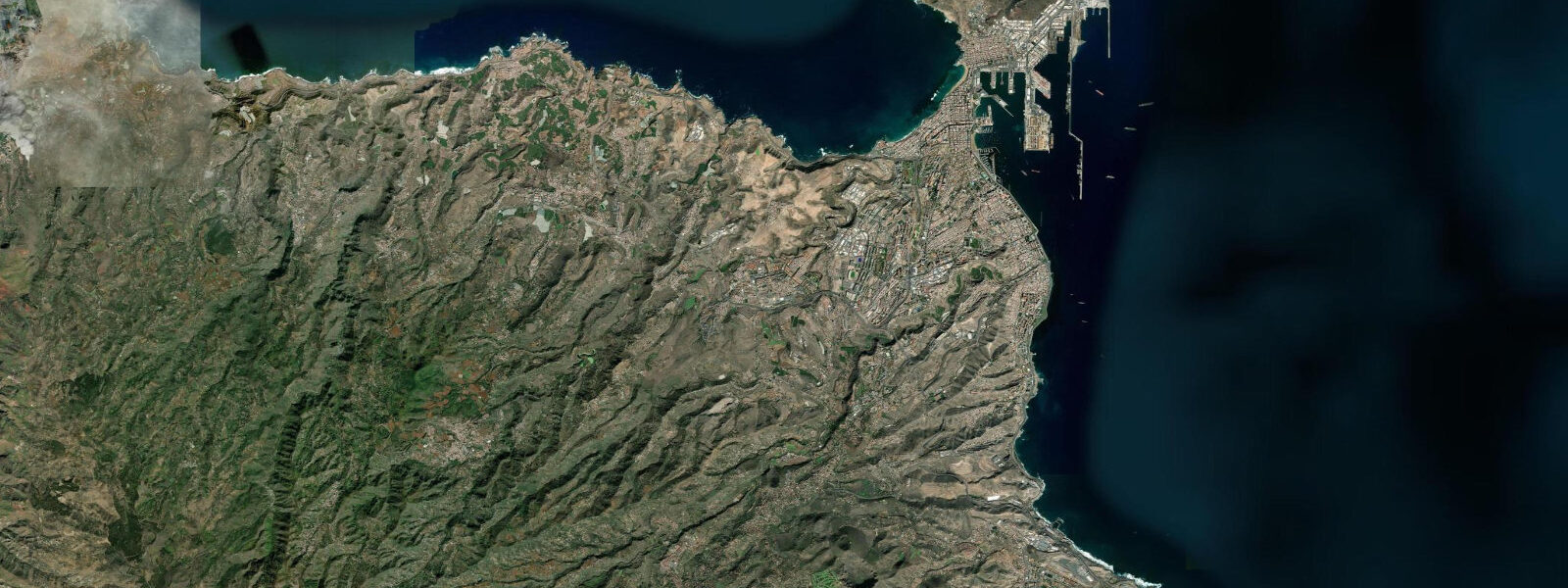
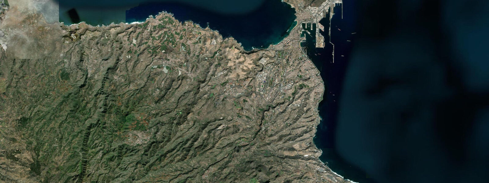
Las Palmas de Gran Canaria sits on the northeast corner of Gran Canaria, a volcanic island 100 kilometres off the coast of southern Morocco, roughly level with the Western Sahara. It is the largest city in the Canary Islands and one of the most important Atlantic port cities in Europe — Puerto de la Luz, the city's commercial harbour, handles a significant share of the container, cruise, and fishing traffic transiting the central Atlantic route between Europe and South America. The city's geography organises itself around two distinct coastal faces: the port and old quarter (Vegueta, Triana) on the sheltered western side, and the city beach on the northeast.
Playa de Las Canteras is the defining urban beach — 3 kilometres of sand running along the northeast face of the Isthmus of Guanarteme, protected on its seaward side by La Barra, a natural submerged reef that parallels the beach 50 to 200 metres offshore and breaks the Atlantic swell before it reaches the sand. Inside La Barra the water is calm enough for year-round open-water swimming; outside the reef, the Atlantic swell runs unimpeded from the open ocean. The northern end of Las Canteras (the Punta del Confital area) is exposed and takes bigger swell — a surf break that works on northwesterly Atlantic groundswells.
The southern end, inside the main reef protection, is where families and lap swimmers operate year-round. 0 metres. 2 metres.
Two highs and two lows per day, with a modest diurnal inequality — the Canary Islands sit at 28 degrees north, where the mixed semidiurnal pattern is fully established and the difference between the two daily highs is usually 10 to 20 centimetres. That range is enough to alter the character of Las Canteras at different states of the tide: at low water, sand flats inside La Barra expose rocky sections of the reef shelf and the beach widens considerably; at high tide, the reef is covered and the narrow inner channel behind La Barra runs faster as the tidal prism floods and ebbs through the gaps in the rock. The trade wind — the northeast Alisio — is the dominant environmental feature of the Canary Islands, blowing with high consistency most of the year.
The eastern islands of Fuerteventura and Lanzarote sit closer to the African continent and receive the strongest and most uninterrupted trade wind flow; Fuerteventura's surf and kite coast around Sotavento and La Pared is one of the world's fixed points for professional windsurfing competition. Gran Canaria receives a more moderated trade wind, partly deflected by the island's volcanic profile (the peak of Pozo de las Nieves reaches 1949 metres). The northern coastal area around Las Palmas is more wind-exposed than the sheltered southwestern coast, which lies in the island's wind shadow and is warmer and calmer but offers fewer water-sport conditions.
From an angling perspective, the Atlantic waters off Gran Canaria are deep — the island sits on the edge of the Canary Bank and the ocean floor drops steeply within a few kilometres of the coast. Bluefin tuna, marlin, and wahoo transit these waters, and the sport-fishing fleet out of Puerto de la Luz is active year-round. Reef fishing inside the protected marine reserve areas around the coast requires awareness of current boundaries that shift with the tidal state and wind setup.
Swimmers and snorkelers using Las Canteras time their sessions for the rising tide, when the incoming flood pushes clearer Atlantic water through the reef gaps and visibility inside La Barra is best. At low tide, the sand on the reef shelf can be stirred by wave action across the exposed rock sections, and visibility inside the protected area drops. The Columbus House museum (Casa de Colón) in the Vegueta historic quarter documents the Atlantic trade route context — Cadiz and Las Palmas were the last European ports on the outward voyage to the Americas for most of the colonial period, and the city's Atlantic position is not incidental to its history.
The predictions on this page come from Open-Meteo Marine, a gridded global ocean model. 3 metres on height — model-derived, not a local gauge. Puertos del Estado operates the Las Palmas gauge and publishes official tide data; the Instituto Hidrográfico de la Marina covers the Canary Islands in the Spanish tide almanac.
Tide questions about Las Palmas de Gran Canaria
Quick answers to the most common questions about tide times, range, and water access at Las Palmas de Gran Canaria.
What is the tide range at Las Palmas de Gran Canaria?
Mean tidal range at Las Palmas is approximately 1.5 to 2.0 metres — semidiurnal, with two high tides and two low tides daily. Spring tides around new and full moons push the range toward 2.5 metres; neap tides reduce it to around 1 to 1.2 metres. The Canary Islands sit in the open Atlantic at 28 degrees north, giving them a substantially larger tidal range than any Spanish Mediterranean location. Puertos del Estado operates the Las Palmas sea-level gauge. The Instituto Hidrográfico de la Marina covers the Canary Islands in the official Spanish tide almanac.
How does the tide affect Playa de Las Canteras?
Las Canteras is protected on its seaward side by La Barra, a natural submerged reef paralleling the beach 50 to 200 metres offshore. At low tide, the sand flats inside the reef widen considerably and rocky sections of the reef shelf are exposed — the beach gains 20 to 30 metres of width. At high tide, La Barra is submerged and the inner channel behind the reef runs noticeably faster as the tidal prism drains. Swimmers and snorkelers typically find best clarity on the rising tide, when incoming Atlantic water flushes through the reef gaps. The northern exposed section at Punta del Confital takes swell regardless of tide state.
What's the relationship between the trade wind and the tides here?
The northeast trade wind (Alisio) is the dominant environmental control on the Canary Islands — blowing with high consistency most of the year and affecting sea conditions far more than the 1.5 to 2.0 metre astronomical tide at Las Palmas. A sustained 20-knot Alisio drives wind waves and sets up surface current along the exposed northeast coast. The tidal current through the Las Canteras reef gaps interacts with the wind-driven flow at midtide — this matters for paddlers and swimmers crossing the reef channel. Fuerteventura, 100 kilometres to the east, receives an even stronger and more consistent trade wind and hosts professional windsurfing and kitesurfing events as a result.
Is the fishing off Gran Canaria affected by tide state?
For inshore and reef fishing, yes. The transition zones around the Las Canteras marine reserve and the rocky points north and south of the city fish better on moving water — the incoming tide is generally preferred for pushing bait fish over the reef edge. For the offshore deep-sea fishing that Puerto de la Luz is known for — bluefin tuna, marlin, wahoo, dorado — the tidal state is a minor factor compared to current rips, water temperature breaks, and bait concentrations that shift with the trade wind setup and the Canary Current flowing south along the African coast.
Where do these tide predictions come from, and how accurate are they?
Open-Meteo Marine, a free gridded global ocean model. Predictions are model-derived, not from the Las Palmas gauge — accuracy is typically within plus or minus 45 minutes on timing and 0.2 to 0.3 metres on height. For the 1.5 to 2.0 metre mean range at Las Palmas, the height uncertainty is around 15% of the typical swing, so the predictions are a reliable planning reference but not precision instruments. For authoritative data, Puertos del Estado operates the Las Palmas gauge and publishes real-time and historical sea-level data. The trade wind can push actual water levels 0.1 to 0.2 metres above or below the astronomical prediction, particularly on sustained high-wind days.
8-day tide table — Las Palmas de Gran Canaria
Heights relative to MSL. Predictions: Open-Meteo Marine (MeteoFrance SMOC, 0.08° grid) — heights relative to MSL (not chart datum / LAT). Model-derived.
| Day | Type | Time | Height |
|---|---|---|---|
| Fri 31 Jul | Low | 02:00 | 0.3m |
| High | 03:43 | 0.7m | |
| Low | 09:37 | -1.0m | |
| High | 15:56 | 0.9m | |
| Low | 22:13 | -1.0m | |
| Sat 01 Aug | High | 04:16 | 0.7m |
| Low | 10:11 | -1.0m | |
| High | 16:27 | 0.9m | |
| Low | 22:45 | -1.1m | |
| Sun 02 Aug | High | 04:49 | 0.7m |
| Low | 10:48 | -1.0m | |
| High | 17:01 | 0.9m | |
| Low | 23:19 | -1.0m | |
| Mon 03 Aug | High | 05:24 | 0.7m |
| Low | 11:24 | -0.9m | |
| High | 17:36 | 0.8m | |
| Low | 23:57 | -1.0m | |
| Tue 04 Aug | High | 06:06 | 0.6m |
| Low | 12:06 | -0.9m | |
| High | 18:20 | 0.7m | |
| Wed 05 Aug | Low | 00:40 | -0.9m |
| High | 06:52 | 0.5m | |
| Low | 12:56 | -0.8m | |
| High | 19:10 | 0.5m | |
| Thu 06 Aug | Low | 14:00 | -0.7m |
| High | 20:16 | 0.4m | |
| Fri 07 Aug | Low | 01:00 | -0.5m |