Cádiz tide times
Cádiz tide forecast — heights relative to MSL.
Today's tide times for Cádiz
Tide times at Cádiz on Friday, 31 July 2026: first low tide at 02:00, first high tide at 04:37, second low tide at 10:27, second high tide at 16:48, third low tide at 22:59. Sunrise 07:29, sunset 21:32.
Tide chart for Cádiz
24-hour cosine-interpolated curve around the present moment. Heights relative to MSL. Predictions: Predictions: Open-Meteo Marine (MeteoFrance SMOC, 0.08° grid).
Sun, moon and conditions on Fri 31 Jul
Snapshot at build time — refreshes daily. Sea state from Open-Meteo Marine.
Highs and lows next 7 days
Every predicted high and low for the next week, with the daily tidal coefficient (0–120; higher = bigger swing, > 95 means stronger currents).
Other spots nearby
The three closest curated TideTurtle locations to Cádiz, measured by great-circle distance.
Today's solunar windows
Solunar tradition: major periods are the ≈3h windows around moon transit and opposition; minor are ≈2h around moonrise and moonset. Pair with the local tide stage and wind for the best read.
Cycle dates near Cádiz
Next spring tide on Sat 01 Aug (range 2.6m). Next neap on Thu 06 Aug.
Spring tides cluster around new and full moons (biggest swings). Neap tides land on quarter moons (smallest swings). See the spring tide and neap tide glossary entries for the why.
About tides at Cádiz
A short guide to the coastline at Cádiz — geography, sea state, and what the tide is actually doing under your feet.
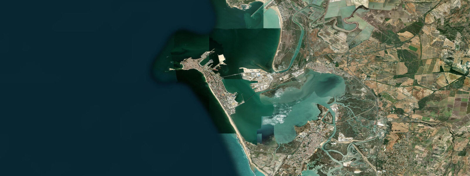
Cádiz occupies a narrow peninsula jabbing westward into the Atlantic from the Andalusian shore, the city surrounded on three sides by open ocean and backed to the east by the Bay of Cadiz and the broad tidal flats of the Parque Natural de la Bahía de Cádiz. It is one of the oldest continuously inhabited cities in Western Europe — Phoenician Gadir, founded around 1100 BCE, the same port from which Columbus departed for the Americas on his second and subsequent voyages. 5 metres on a typical day, pushing toward 4 metres at spring tides around new and full moons.
That is a different proposition entirely from Malaga, Alicante, or Barcelona, where the astronomical tide is barely a consideration. At Cadiz, the tide is central to understanding how the coast and bay operate. The peninsula itself exposes different faces to the tidal cycle.
The Playa de La Caleta on the northwest side — a compact city beach enclosed between the Castillo de San Sebastián on its outer point and the Castillo de Santa Catalina on the inner headland — faces the open Atlantic swell. The beach narrows considerably at high tide and widens substantially at low, with the rocks at the base of the castillo walls exposed enough at low water to walk around on a calm day. The Playa de La Victoria runs south from the peninsula's widest point along the Atlantic face, a longer and more exposed strand where the tidal range means the walk from the promenade to the water's edge at low tide is a genuine distance across firm sand.
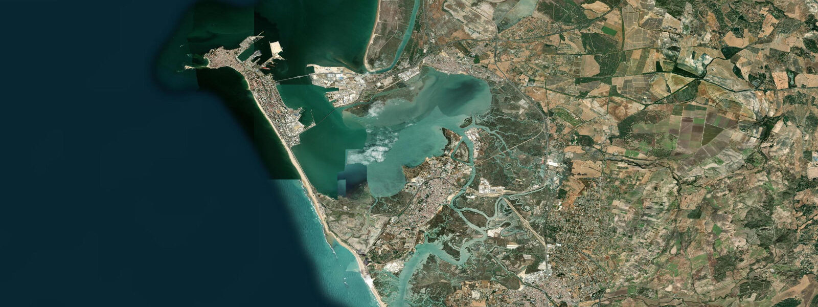
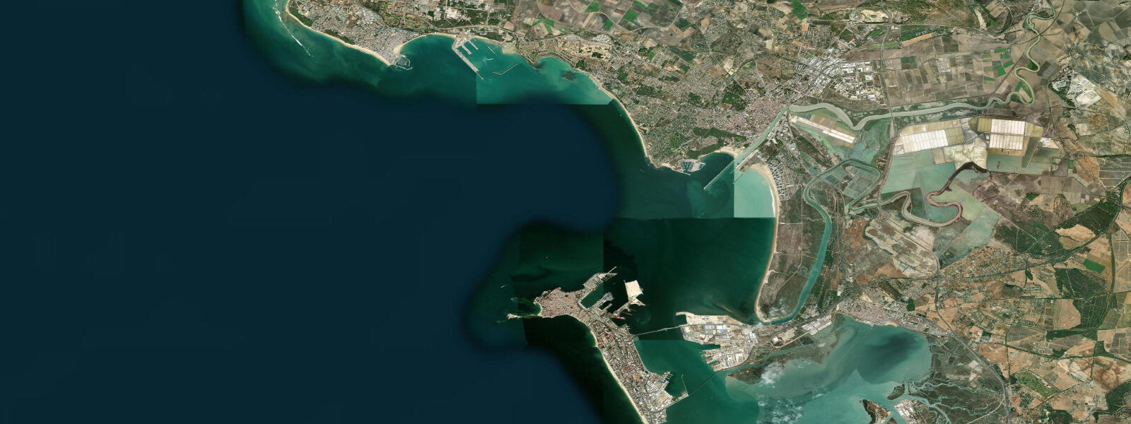
On the bay side, the tidal flats of the Parque Natural extend across several thousand hectares of intertidal mud, salt marsh, and channel — one of the most significant bird habitats on the Atlantic coast of Iberia, visited by hundreds of thousands of migrating waders and wildfowl moving between Africa and northern Europe each spring and autumn. The timing of the tide governs access to the viewing platforms and the depth in the channels used by the flat-bottomed boats that work the bay. The Bay of Cadiz also contains El Puerto de Santa María on the northern shore — the town visible across the bay from the Cadiz promenade — connected by the catamaran ferry that crosses on the bay's tidal currents.
The crossing time is the same either way, but the current through the bay channel is perceptible at midtide and the ferry schedules are built around the tide-influenced navigation conditions. Fifteen kilometres south of Cadiz, Tarifa sits at the western tip of the Strait of Gibraltar where the Atlantic and Mediterranean meet — the windiest headland in continental Europe by most measurements, where the Poniente (westerly) and Levante (easterly) wind systems alternate and the consistent airflow has made Tarifa Europe's undisputed capital for kitesurfing. The tide off Tarifa carries additional complexity: the tidal flow through the Strait of Gibraltar creates strong east-west currents that interact with the wind-driven chop, and the timing of slack water matters for water entries and exits from the beach.
Anglers working the rocky points and sea walls around the Cadiz peninsula time their sessions around the tidal state. The stones around the Castillo de San Sebastián, the sea walls at Campo del Sur on the Atlantic face, and the rocky points at the southern end of La Victoria beach all fish better on the rising tide when sea bass (lubina), bream (dorada), and mullet (lisa) are pushed in by the incoming flood. Surfers and SUP riders use La Caleta on smaller south and southwest swells, though the exposed Atlantic face of La Victoria takes the bigger groundswells.
At Tarifa, the swell and wind interaction is sophisticated enough that the kite and windsurf operations run their own tide-current briefings separate from the general tide table. The predictions on this page come from Open-Meteo Marine, a gridded global ocean model. 3 metres on height — model-derived, not a local gauge.
5 metre range, that height uncertainty is proportionally modest and the predictions are useful for general planning. Authoritative data for Cadiz comes from Puertos del Estado, which operates the Cadiz gauge, and from the Instituto Hidrográfico de la Marina, headquartered in Cadiz city and responsible for the official Spanish tide almanac.
Tide questions about Cádiz
Quick answers to the most common questions about tide times, range, and water access at Cádiz.
What is the tide range at Cádiz?
Mean tidal range at Cadiz is approximately 2.5 to 3.5 metres — semidiurnal, meaning two high tides and two low tides per day, roughly six hours apart. Spring tides around new and full moons push the range toward 4 metres; neap tides (first and third quarter moon) compress it toward 1.5 to 2 metres. This is one of the largest tidal ranges on the Spanish coast, and it stands in sharp contrast to Spanish Mediterranean ports like Malaga or Valencia where the astronomical tide is 0.3 to 0.5 metres. The large range is a direct consequence of Cadiz's Atlantic position — the open ocean tidal signal reaches the Gulf of Cadiz unimpeded.
Why does Cádiz have such a large tide compared to other Spanish cities?
Cadiz faces the open Atlantic Ocean, not the Mediterranean Sea. The Mediterranean is a nearly enclosed basin with limited exchange with the Atlantic through the narrow Strait of Gibraltar, which restricts the tidal signal — Mediterranean tides are typically 0.1 to 0.5 metres. Atlantic tides are driven by the same large-ocean tidal forcing that creates 5-metre tides in Brittany and macrotidal ranges in the Bay of Biscay further north. Cadiz, sitting on the Gulf of Cadiz on the Atlantic coast, receives the full Atlantic tidal signal. Tarifa, 15 km to the south, sits right at the transition point where Atlantic tidal character meets Mediterranean microtidal.
When is low tide at Playa de La Caleta?
The tide table at the top of this page shows today's predicted low tide times at Cadiz in local time (CET/CEST — UTC+1 in winter, UTC+2 in summer from late March to late October). La Caleta beach narrows at high tide and widens significantly at low, with the sand running out toward the base of the Castillo de San Sebastián. The two daily lows are typically of similar height, though a slight diurnal inequality means one is often 10 to 20 centimetres lower than the other. The Instituto Hidrográfico de la Marina in Cadiz publishes the authoritative official tide tables for the Spanish Atlantic coast.
How do the tides at Cádiz affect the Tarifa kitesurfing conditions?
At Tarifa, 15 kilometres south of Cadiz, the tidal current flowing through the Strait of Gibraltar interacts with the wind setup. The Strait of Gibraltar has a tidal flow with east-west current that can run at 1 to 2 knots at midtide — perceptible when paddling out through wind-chop, and relevant when timing water entries and exits from the beach. Slack water around high tide is generally the cleanest period for getting in and out of the water at Tarifa kite beaches. The wind, not the tide, is the primary variable at Tarifa, but the current does add complexity especially on strong Levante days when the easterly wind opposes an eastward-flowing current. Kite schools at Tarifa brief students on the current before water sessions.
Where do these tide predictions come from, and how accurate are they?
Open-Meteo Marine, a free gridded global ocean model. Predictions are model-derived, not from a local gauge — accuracy is typically within plus or minus 45 minutes on timing and 0.2 to 0.3 metres on height. For the 2.5 to 3.5 metre Cadiz range, the height uncertainty is proportionally small (less than 10% of the typical range), so the tide curve shown is a reliable planning reference. For authoritative precision — navigation, harbour operations, scientific use — the Instituto Hidrográfico de la Marina (IHM) publishes the official Spanish tide almanac. Puertos del Estado operates the Cadiz sea-level gauge and provides real-time data.
8-day tide table — Cádiz
Heights relative to MSL. Predictions: Open-Meteo Marine (MeteoFrance SMOC, 0.08° grid) — heights relative to MSL (not chart datum / LAT). Model-derived.
| Day | Type | Time | Height |
|---|---|---|---|
| Fri 31 Jul | Low | 02:00 | -0.2m |
| High | 04:37 | 0.7m | |
| Low | 10:27 | -1.5m | |
| High | 16:48 | 1.0m | |
| Low | 22:59 | -1.6m | |
| Sat 01 Aug | High | 05:09 | 0.7m |
| Low | 11:00 | -1.5m | |
| High | 17:18 | 1.0m | |
| Low | 23:28 | -1.6m | |
| Sun 02 Aug | High | 05:42 | 0.8m |
| Low | 11:36 | -1.5m | |
| High | 17:52 | 0.9m | |
| Mon 03 Aug | Low | 00:04 | -1.6m |
| High | 06:15 | 0.7m | |
| Low | 12:12 | -1.5m | |
| High | 18:27 | 0.8m | |
| Tue 04 Aug | Low | 00:43 | -1.6m |
| High | 06:54 | 0.6m | |
| Low | 12:54 | -1.4m | |
| High | 19:10 | 0.7m | |
| Wed 05 Aug | Low | 01:25 | -1.4m |
| High | 07:40 | 0.5m | |
| Low | 13:44 | -1.3m | |
| High | 20:01 | 0.5m | |
| Thu 06 Aug | Low | 02:16 | -1.3m |
| High | 08:36 | 0.4m | |
| Low | 14:44 | -1.2m | |
| High | 21:06 | 0.4m | |
| Fri 07 Aug | Low | 01:00 | -0.7m |