Ansan, Gyeonggi tide times
Ansan, Gyeonggi tide forecast — heights relative to MSL.
Today's tide times for Ansan, Gyeonggi
Tide times at Ansan, Gyeonggi on Friday, 19 June 2026: first high tide at 09:00, first low tide at 14:15, second high tide at 19:48. Sunrise 05:12, sunset 19:56.
Tide chart for Ansan, Gyeonggi
24-hour cosine-interpolated curve around the present moment. Heights relative to MSL. Predictions: Predictions: Open-Meteo Marine (MeteoFrance SMOC, 0.08° grid).
Sun, moon and conditions on Fri 19 Jun
Snapshot at build time — refreshes daily. Sea state from Open-Meteo Marine.
Highs and lows next 7 days
Every predicted high and low for the next week, with the daily tidal coefficient (0–120; higher = bigger swing, > 95 means stronger currents).
Other spots nearby
The three closest curated TideTurtle locations to Ansan, Gyeonggi, measured by great-circle distance.
Today's solunar windows
Solunar tradition: major periods are the ≈3h windows around moon transit and opposition; minor are ≈2h around moonrise and moonset. Pair with the local tide stage and wind for the best read.
Cycle dates near Ansan, Gyeonggi
Last spring tide on Fri 19 Jun (range 7.1m). Next neap on Thu 25 Jun.
Spring tides cluster around new and full moons (biggest swings). Neap tides land on quarter moons (smallest swings). See the spring tide and neap tide glossary entries for the why.
About tides at Ansan, Gyeonggi
A short guide to the coastline at Ansan, Gyeonggi — geography, sea state, and what the tide is actually doing under your feet.
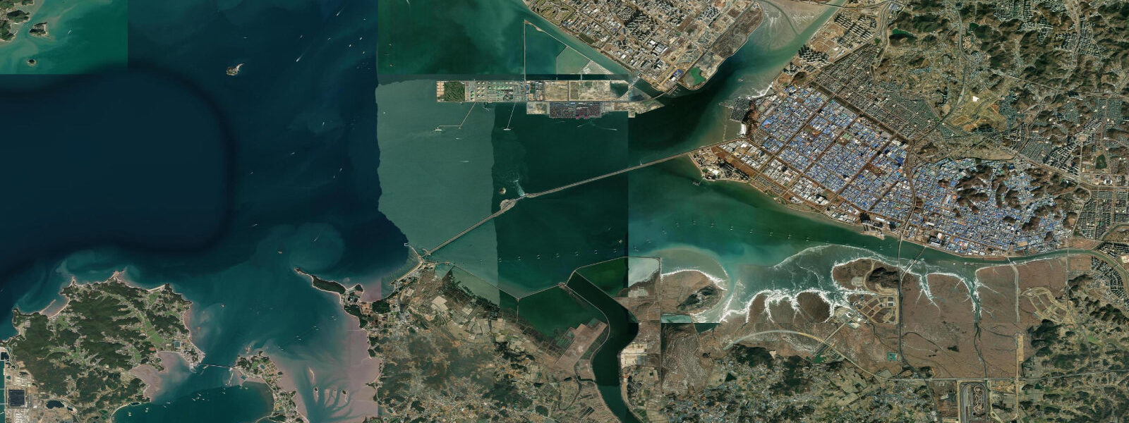
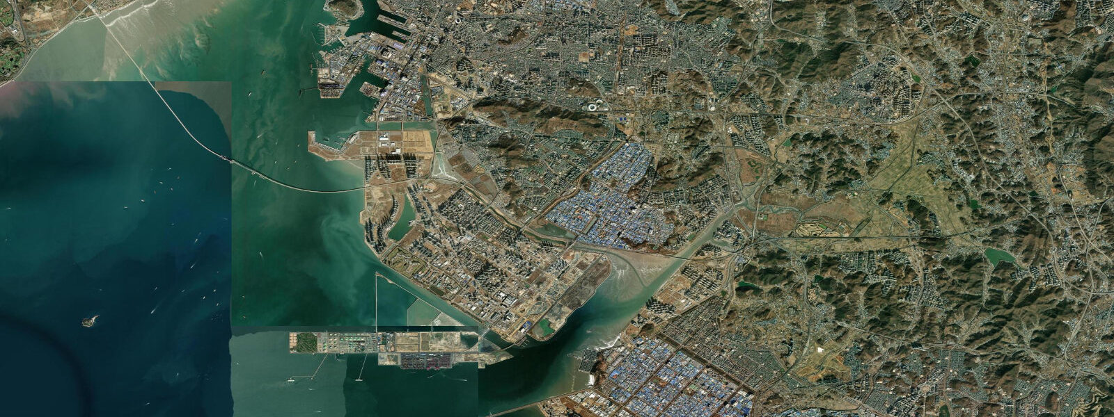
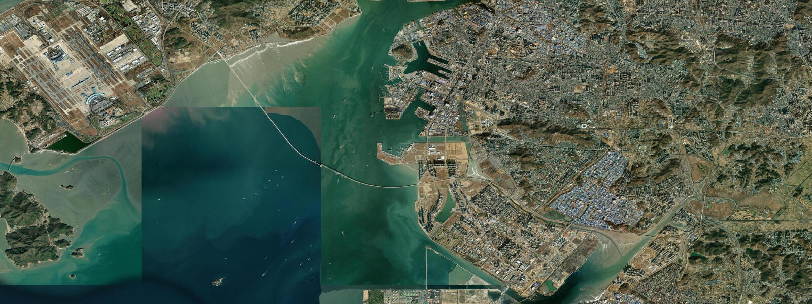
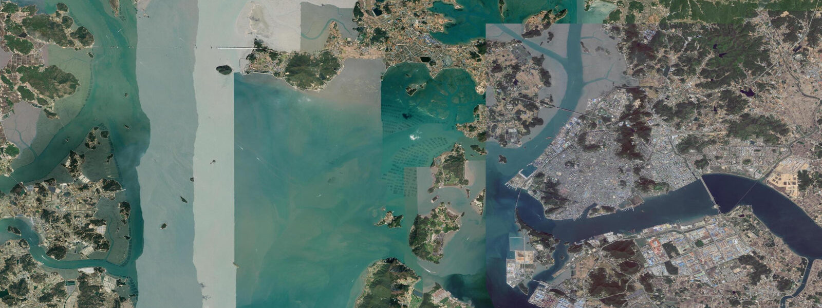
Ansan (안산) extends southwest from its industrial core to Daebu Island, a low-lying island on Gyeonggi Bay now connected to the mainland by a long causeway. The Yellow Sea tidal regime here is the same as the rest of Gyeonggi Bay: semidiurnal cycles with a mean spring range of 6.0 to 8.0 m, the tidal energy amplified by the bay's narrowing geometry. Low spring water exposes the flat for several kilometres from the island's southern shore, and that flat — firm, dark, teeming with invertebrate life — is the defining feature of the Daebu Island coast.
The flat at low water is workable on foot. The sediment surface is compact enough to walk on for a kilometre or more without breaking through, though soft pockets exist near channels and need attention. This physical accessibility is the foundation of 갯벌 체험 — galmae experience, or tidal flat activity tourism. Guided groups arrive at the flat in the two-hour window before low water, equipped with small buckets and simple tools. The targets are short-neck clams (바지락, bajrak), razor clams (맛살, matssal), and mud crabs (꽃게, kkotge). The clams are shallow, found 5 to 10 cm below the sediment surface; an experienced guide can fill a bucket in forty minutes working a productive section of flat. Children who have never seen a tidal flat before are often the most enthusiastic, driven by the novelty of finding food in the mud. The activity has real logistical constraints: it only works within a 2.5-hour window around low water, it requires dry footwear to be staged at the flat edge, and on neap tides the flat exposure is reduced enough to limit access to the more productive lower zones.
Guemdo Island, a small island immediately off the Daebu coast, supports commercial clam farming on the tidal cycle. The farm operators work two to three hours around low water — the only window when the growing areas are accessible. The timing shifts by roughly 50 minutes each day as the lunar tidal cycle advances, meaning a farmer who started at 09:00 on Monday will be working at 09:50 on Tuesday and 10:40 on Wednesday. Over a fortnight, the low-water window cycles through the full clock face. Farmers plan their weeks around this shift: during periods when low water falls at 02:00 or 03:00, operations pause rather than run through the night. The clam harvest from Guemdo supplies local seafood markets, with short-neck clams being the primary product.
The Ansan Seongho Tidal Flat Restoration Project is recovering approximately 800 hectares of former salt pan land in the northern Ansan coastal zone and returning it to functional tidal flat. Salt pan operations on this coast expanded through the mid-twentieth century and then contracted as industrial salt production scaled up. The former pans left behind compacted, hydrologically disconnected land. The restoration involves breaking the bund walls, re-establishing tidal channels, and allowing natural sediment dynamics to re-colonise the substrate. Shorebird use of the restored areas has been documented within two years of restoration at similar sites on the Korean coast; the Seongho project targets similar ecological recovery over a ten to fifteen year horizon.
Jebudo Island sits 15 km to the southwest of Daebu across open Gyeonggi Bay. At low water on a clear evening, the red hills of Jebudo — particularly the area known as Noelgongwon (Sunset Park, 노을공원) — catch the late sun and turn amber against the exposed flat. The visual relationship between the near flat and the distant island is strongest on spring tides when the flat exposure is maximum; on neap tides, a shallower water sheet obscures the detail.
For photographers, the Daebu mudflat at morning ebb on a spring tide offers the combination of maximum flat exposure, long low-angle light, and shorebird activity. A tripod and a long lens (400 mm or more) are needed to frame individual birds at the waterline, which at low spring tide can be 2 km from the causeway access point. Paddlers can launch from the northern Daebu shore at high water and explore the bay margins, returning before the ebb builds — the exposed flat appears fast and leaves little tolerance for a late return.
Tide data for Ansan, Gyeonggi comes from the Open-Meteo Marine API, a gridded model product. Timing accuracy is ±45 minutes, height accuracy ±0.3 m — usable for trip planning, not for navigation.
Tide questions about Ansan, Gyeonggi
Quick answers to the most common questions about tide times, range, and water access at Ansan, Gyeonggi.
How does galmae (갯벌 체험) tidal flat experience work at Daebu Island, and when can I join?
Galmae experience is guided low-tide activity on the Daebu mudflat — participants walk the exposed flat collecting clams, razor clams, and mud crabs with bucket and small tools. Sessions run in the 2.5-hour window centred on low water. Timing shifts daily with the tidal cycle — check the low-water time for your visit date and plan arrival 90 minutes before it. Spring tides give the best flat exposure and the most productive clam areas. Guided operators on Daebu supply rubber boots and tools; bring dry clothes for afterward. Children from school age upward handle the activity well; the flat is firm enough to walk on without specialist gear.
What tidal range should I expect at Ansan's Daebu Island coast?
Spring tidal range runs 6.0 to 8.0 m, driven by Yellow Sea tides amplified in Gyeonggi Bay. At low spring water, the flat exposes 4 to 6 km from the Daebu shoreline. Neap tides reduce the range to roughly 3 to 4 m and correspondingly limit flat access. The best galmae and flat-walking conditions occur in the three days around new moon and full moon. The tide is semidiurnal — two highs and two lows daily �— with each cycle taking about 12 hours 25 minutes, so low water advances roughly 50 minutes later each day.
How do Guemdo Island clam farmers plan their work around the tidal cycle?
Clam farmers on Guemdo Island work a 2 to 3-hour window around low water, when the tidal flat areas holding their bivalve stock become accessible on foot. That low-water window shifts approximately 50 minutes later each day as the lunar tidal cycle advances. Over two weeks, the window cycles from early morning to midday to late afternoon and back. When low water falls in the early hours — typically for four to five days per fortnight — commercial operations pause. Harvest volume scales with tidal range: spring tides expose more of the growing flat and allow longer working time than neap tides.
What is the Ansan Seongho Tidal Flat Restoration Project, and can visitors access it?
The Seongho project is recovering around 800 hectares of former salt pan land on the northern Ansan coast to functional tidal flat. Salt production here peaked in the mid-twentieth century; when operations ceased, the land was left as disconnected, compacted substrate. Restoration works involve breaching bund walls and re-establishing tidal channel networks so the flat can re-naturalise under tidal influence. The process takes years: sediment colonisation, invertebrate recruitment, and vegetation establishment all happen on multi-year timescales. Public access to restoration work areas is limited during active earthworks; the shoreline road gives views of the project extent.
What is the best time of day and year to photograph the Daebu mudflat and Jebudo backdrop?
Morning spring ebb gives the best combination: maximum flat exposure, eastward light hitting the wet sediment, and peak shorebird activity in April to May (northbound passage) and July to September (southbound). Set up at the causeway edge 30 minutes before sunrise on a spring low-water day — the flat will be exposing rapidly and birds land as the surface clears. For the Jebudo Island red-hill backdrop, an evening ebb in clear conditions works well; the hills catch amber light from the west. A 400 mm lens or longer is needed to frame the waterline in detail from the causeway, as the fully exposed flat pushes the water edge 2 km out at spring tides.
8-day tide table — Ansan, Gyeonggi
Heights relative to MSL. Predictions: Open-Meteo Marine (MeteoFrance SMOC, 0.08° grid) — heights relative to MSL (not chart datum / LAT). Model-derived.
| Day | Type | Time | Height |
|---|---|---|---|
| Fri 19 Jun | High | 09:00 | 3.3m |
| Low | 14:15 | -2.6m | |
| High | 19:48 | 3.1m | |
| Sat 20 Jun | Low | 02:19 | -3.3m |
| High | 08:21 | 3.9m | |
| Low | 15:03 | -2.8m | |
| High | 20:42 | 2.6m | |
| Sun 21 Jun | Low | 03:03 | -3.1m |
| High | 09:11 | 3.6m | |
| Low | 15:46 | -2.5m | |
| High | 21:35 | 2.9m | |
| Mon 22 Jun | Low | 03:55 | -2.6m |
| High | 10:00 | 3.3m | |
| Low | 16:30 | -2.4m | |
| High | 22:30 | 2.7m | |
| Tue 23 Jun | Low | 04:50 | -2.1m |
| High | 10:51 | 2.8m | |
| Low | 17:20 | -2.3m | |
| High | 23:34 | 2.6m | |
| Wed 24 Jun | Low | 05:46 | -1.7m |
| High | 11:43 | 2.5m | |
| Low | 18:13 | -2.3m | |
| Thu 25 Jun | High | 00:38 | 2.6m |
| Low | 06:50 | -1.3m | |
| High | 12:44 | 2.3m | |
| Low | 19:08 | -2.2m | |
| Fri 26 Jun | High | 01:38 | 2.8m |
| Low | 08:00 | -1.3m |