Gqeberha (Port Elizabeth) tide times
Gqeberha (Port Elizabeth) tide forecast — heights relative to MSL.
Today's tide times for Gqeberha (Port Elizabeth)
Tide times at Gqeberha (Port Elizabeth) on Sunday, 21 June 2026: first low tide at 02:00, first high tide at 07:54, second low tide at 13:45, second high tide at 20:35. Sunrise 07:22, sunset 17:15.
Tide chart for Gqeberha (Port Elizabeth)
24-hour cosine-interpolated curve around the present moment. Heights relative to MSL. Predictions: Predictions: Open-Meteo Marine (MeteoFrance SMOC, 0.08° grid).
Sun, moon and conditions on Sun 21 Jun
Snapshot at build time — refreshes daily. Sea state from Open-Meteo Marine.
Highs and lows next 7 days
Every predicted high and low for the next week, with the daily tidal coefficient (0–120; higher = bigger swing, > 95 means stronger currents).
Other spots nearby
The three closest curated TideTurtle locations to Gqeberha (Port Elizabeth), measured by great-circle distance.

Today's solunar windows
Solunar tradition: major periods are the ≈3h windows around moon transit and opposition; minor are ≈2h around moonrise and moonset. Pair with the local tide stage and wind for the best read.
Cycle dates near Gqeberha (Port Elizabeth)
Last spring tide on Sun 21 Jun (range 0.9m). Next spring tide on Sat 27 Jun (range 0.9m). Next neap on Wed 24 Jun.
Spring tides cluster around new and full moons (biggest swings). Neap tides land on quarter moons (smallest swings). See the spring tide and neap tide glossary entries for the why.
About tides at Gqeberha (Port Elizabeth)
A short guide to the coastline at Gqeberha (Port Elizabeth) — geography, sea state, and what the tide is actually doing under your feet.
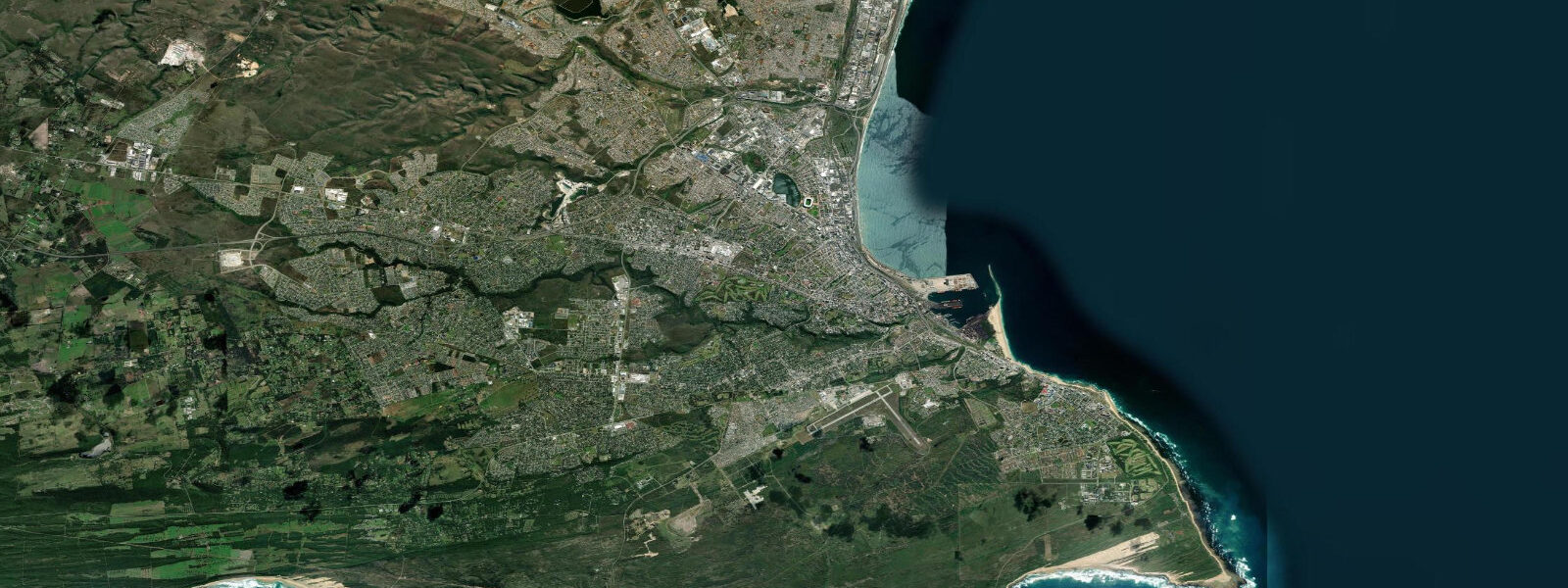
Gqeberha — officially renamed from Port Elizabeth in 2021 to restore the Xhosa name for the area — sits on the western shore of Algoa Bay, a broad, sheltered embayment on the Indian Ocean coast of the Eastern Cape. The city of roughly 1.3 million is the Eastern Cape's largest, its harbour the fourth busiest in South Africa by container throughput, and its beachfront a long run of urban coast that has served as the leisure interface between a working industrial city and the Indian Ocean for most of a century.
Tidal range at Gqeberha is approximately 1.8 metres mean above Chart Datum — semidiurnal, two roughly equal highs and lows each day, which is the standard South African east coast pattern. At 1.8 metres this is solidly mesotidal: the difference between high and low water is visible and consequential on the beach. The sweep of sand between Humewood Beach and Kings Beach changes width and character perceptibly across the tidal cycle. Low water exposes the lower beach flat; high water pushes to the upper strand. Surf breaks along the beachfront shift character with tide state — offshore shoals that produce clean lines at mid-tide become dumping shore-break at high.
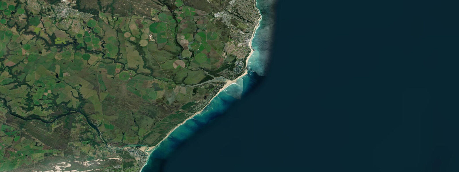
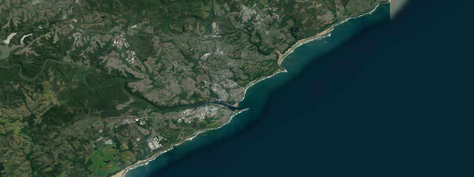
The beachfront strip from Humewood to Kings Beach is the recreational anchor of the city. The beaches face northeast into Algoa Bay, which provides the best natural protection on the South African coast from the prevailing southwest swells that batter the open coastline to the west. Easterly swells from the Indian Ocean enter the bay directly, but the bay's 40-kilometre width tends to moderate them. On calm summer days the water is warm enough for comfortable swimming — Algoa Bay sea surface temperatures reach 21–23°C in February — and the beaches are family-accessible. Surfing is possible along the beachfront but the bay's protection cuts the swell size; surfers seeking proper surf drive to the more exposed coasts east and west of the city.
Algoa Bay is one of the most significant South African great white shark aggregation zones, associated with the African Penguin colony on St Croix Island in the bay and the presence of Cape Fur Seals. Shark nets protect the main Gqeberha swimming beaches; beach flags and beach safety officers manage conditions. The shark presence is a background fact of swimming on this coast rather than an acute daily risk, but it is worth understanding.
The port handles ro-ro, containers, and motor vehicles, and the harbour facilities extend along a breakwater that is visible from the beachfront. The industrial port and the leisure beach coexist without much tension — they occupy different stretches of the bay — but the port's scale makes clear that Gqeberha is a city that has always worked the sea rather than merely visited it.
Predictions on this page come from Open-Meteo Marine, a gridded global ocean model. Accuracy is typically within plus or minus 45 minutes on timing and 0.2 to 0.3 metres on height — model-derived, not from a local gauge. For authoritative South African tide data, consult SANHO — the South African Navy Hydrographic Office — which publishes official tide tables for Gqeberha and other South African ports.
Tide questions about Gqeberha (Port Elizabeth)
Quick answers to the most common questions about tide times, range, and water access at Gqeberha (Port Elizabeth).
What is the tidal range at Gqeberha?
Gqeberha experiences semidiurnal tides with a mean range of approximately 1.8 metres above Chart Datum — two roughly equal highs and lows each day. This places the coast in the mesotidal range, where the tidal cycle is visibly significant on the beach. The difference between high and low water is around 1.8 metres at mean springs; neap tides produce a smaller range. SANHO (South African Navy Hydrographic Office) publishes authoritative tide tables for Gqeberha; the figures on this page come from the Open-Meteo Marine model, accurate to approximately ±45 minutes and ±0.2–0.3 metres.
Why was Port Elizabeth renamed Gqeberha?
The city was officially renamed Gqeberha on 23 February 2021, restoring the Xhosa name for the Baakens River that flows through the area. The colonial name Port Elizabeth, given by Acting Governor Rufane Donkin in 1820 in memory of his late wife, was one of several South African city names changed through the government's post-apartheid renaming programme. The renaming generated significant public debate; many residents and businesses continued using Port Elizabeth informally after the official change. Both names remain in wide use.
Are the beaches at Gqeberha safe for swimming?
The main Humewood Beach and Kings Beach are patrolled by beach safety officers and protected by shark nets during the summer swimming season. Algoa Bay's northeastern orientation provides reasonable protection from southwest swells. Water temperature reaches 21–23°C in summer (December–February). The African Penguin colony on St Croix Island in the bay and the Cape Fur Seal population attract white sharks to the bay — the nets and flag system manage this risk for the designated swimming areas. Always swim within flagged areas and observe beach officer instructions.
What surf is available at Gqeberha?
Algoa Bay's protection from the dominant south and southwest swells limits surf size at the city beaches. Beachfront breaks work at low to mid-tide when easterly swell enters the bay, but are inconsistent. The serious surf in the Eastern Cape is 75 kilometres southwest at Jeffrey's Bay, where the Supertubes point break produces world-class right-hand walls on south and southwest groundswell. Closer to the city, Pollock Beach and the sand points east of the harbour catch more swell than the central beachfront.
Are the tide predictions on this page suitable for navigation?
No. Predictions here come from Open-Meteo Marine, a global ocean model providing indicative tide timing and height guidance — not certified nautical data. For passage planning, port operations, or any navigational purpose in South African waters, use official SANHO (South African Navy Hydrographic Office) tide tables and current official charts. Algoa Bay carries commercial shipping traffic; always navigate with verified position data and authoritative tidal information.
8-day tide table — Gqeberha (Port Elizabeth)
Heights relative to MSL. Predictions: Open-Meteo Marine (MeteoFrance SMOC, 0.08° grid) — heights relative to MSL (not chart datum / LAT). Model-derived.
| Day | Type | Time | Height |
|---|---|---|---|
| Sun 21 Jun | Low | 02:00 | -0.7m |
| High | 07:54 | 0.0m | |
| Low | 13:45 | -0.7m | |
| High | 20:35 | 0.2m | |
| Mon 22 Jun | Low | 03:00 | -0.6m |
| High | 08:56 | -0.0m | |
| Low | 14:40 | -0.6m | |
| High | 21:42 | 0.2m | |
| Tue 23 Jun | Low | 04:10 | -0.5m |
| High | 10:07 | 0.0m | |
| Low | 16:00 | -0.4m | |
| High | 22:38 | 0.2m | |
| Wed 24 Jun | Low | 05:37 | -0.5m |
| High | 23:43 | 0.1m | |
| Thu 25 Jun | Low | 18:22 | -0.6m |
| Fri 26 Jun | High | 00:42 | 0.1m |
| Low | 07:07 | -0.7m | |
| Sat 27 Jun | High | 14:04 | 0.4m |
| Low | 20:02 | -0.5m | |
| Sun 28 Jun | High | 01:00 | 0.4m |