East London tide times
East London tide forecast — heights relative to MSL.
Today's tide times for East London
Tide times at East London on Sunday, 21 June 2026: first low tide at 02:00, first high tide at 07:50, second low tide at 13:48, second high tide at 20:40. Sunrise 07:10, sunset 17:09.
Tide chart for East London
24-hour cosine-interpolated curve around the present moment. Heights relative to MSL. Predictions: Predictions: Open-Meteo Marine (MeteoFrance SMOC, 0.08° grid).
Sun, moon and conditions on Sun 21 Jun
Snapshot at build time — refreshes daily. Sea state from Open-Meteo Marine.
Highs and lows next 7 days
Every predicted high and low for the next week, with the daily tidal coefficient (0–120; higher = bigger swing, > 95 means stronger currents).
Other spots nearby
The three closest curated TideTurtle locations to East London, measured by great-circle distance.
Today's solunar windows
Solunar tradition: major periods are the ≈3h windows around moon transit and opposition; minor are ≈2h around moonrise and moonset. Pair with the local tide stage and wind for the best read.
Cycle dates near East London
Last spring tide on Sun 21 Jun (range 0.9m). Next spring tide on Sat 27 Jun (range 1.0m). Next neap on Wed 24 Jun.
Spring tides cluster around new and full moons (biggest swings). Neap tides land on quarter moons (smallest swings). See the spring tide and neap tide glossary entries for the why.
About tides at East London
A short guide to the coastline at East London — geography, sea state, and what the tide is actually doing under your feet.
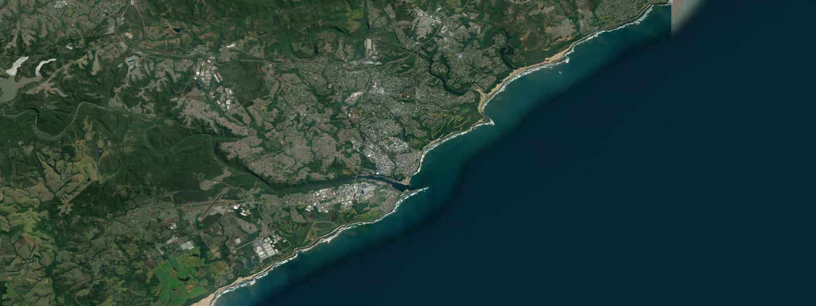
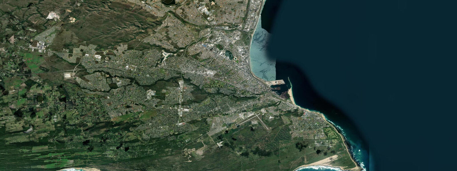
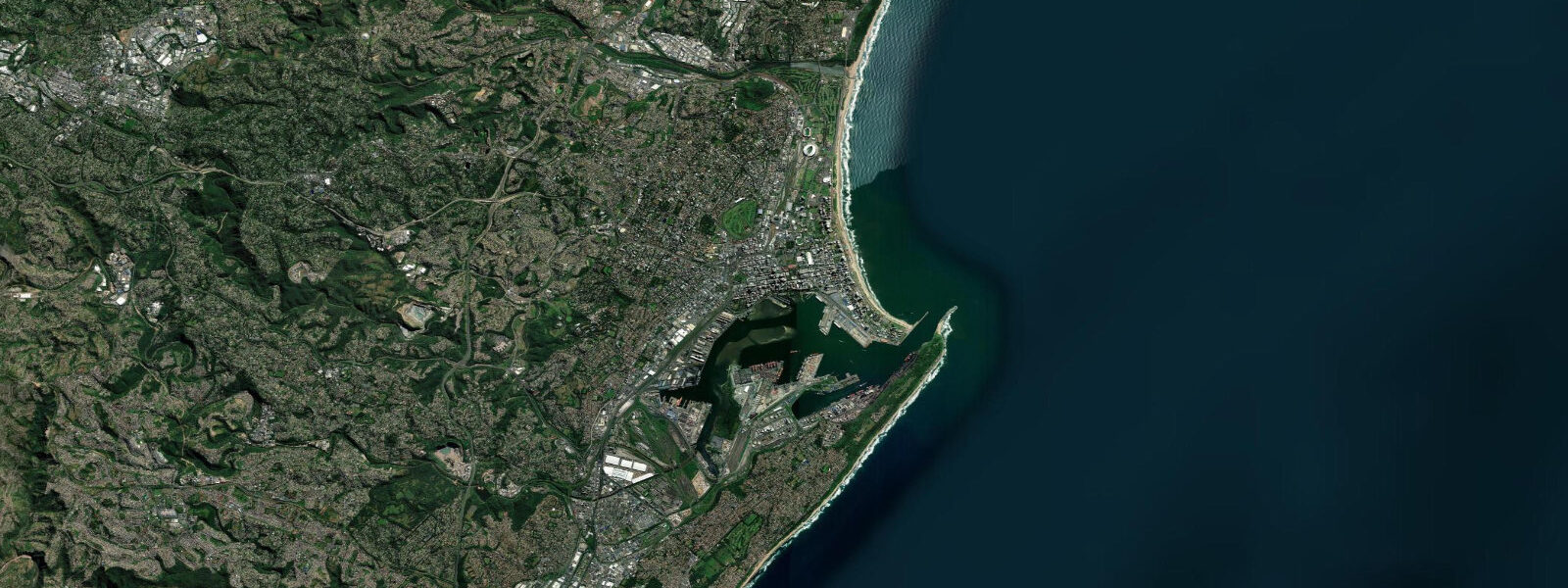
East London sits at the mouth of the Buffalo River, where the river's broad estuary opens to the Indian Ocean through a gap in the sandstone bluffs. It is the only river port in South Africa — the only city whose harbour sits on a river rather than a bay — and that distinction shapes both the port geography and the tidal hydrology of the inner harbour, where river flow and tidal cycle interact rather than the tidal signal appearing alone.
Tidal range at East London is approximately 1.6 metres mean above Chart Datum — semidiurnal, two equal highs and lows each day. This is closely aligned with the regional Eastern Cape average. Tidal currents in the Buffalo River estuary are amplified relative to the open coast: on the ebb, river flow combines with the outgoing tide to produce faster current in the channel. On flood, the incoming tide pushes back against river flow, temporarily slowing the river and raising water levels in the lower estuary. These dynamics are important for vessels navigating the port entrance, where the river mouth shoaling and the tidal state are both operationally relevant.
The city's place in biological history rests on a trawl catch made on 22 December 1938. Marjorie Courtenay-Latimer, curator of the East London Museum, was called to examine an unusual fish at Latimer's Landing, the local fishing harbour, brought in by Captain Hendrik Goosen and the crew of the trawler Nerine, fishing off the Chalumna River mouth 70 kilometres southwest. The fish was a coelacanth — Latimeria chalumnae — a species belonging to a group last seen in the fossil record 65 million years ago and presumed long extinct. Courtenay-Latimer preserved the specimen despite considerable difficulty and contacted Professor J.L.B. Smith, who confirmed the identification in January 1939. The discovery overturned established evolutionary theory about the transition between aquatic and terrestrial vertebrate life and is considered one of the most significant biological finds of the 20th century. The original specimen is displayed at the East London Museum; a cast and comprehensive interpretation is at the East London Aquarium. Latimer's Landing still operates as a fishing harbour.
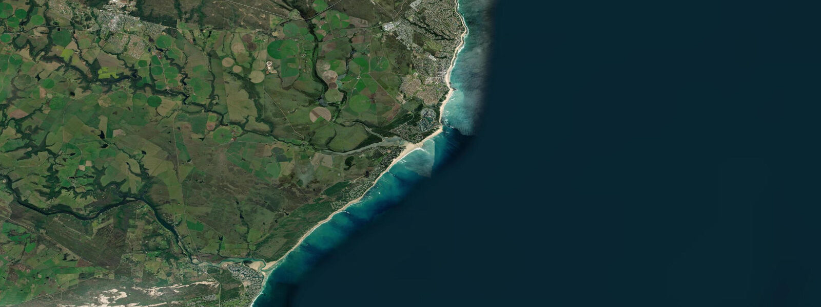
Ocean Beach and Eastern Beach, east of the Buffalo River mouth, are the main swimming and surf beaches. They are more exposed to Indian Ocean swell than Algoa Bay to the southwest, with typical surf of 0.5 to 1.5 metres on regular south groundswell. Shark nets protect the designated swimming areas. The surfing is consistent; East London produces professional surfers at a rate disproportionate to the city's size, and the beach breaks and occasional point sections east of the river mouth are the training ground.
The beachfront between the river mouth and the golf course runs through a green belt of coastal dune vegetation — Strandveld — that has survived the city's development on both sides. This strip of intact dune habitat is unusual for an urban coast in South Africa and worth noting for those interested in coastal ecology alongside the standard beach attractions.
Predictions on this page come from Open-Meteo Marine, a gridded global ocean model. Accuracy is typically within plus or minus 45 minutes on timing and 0.2 to 0.3 metres on height — model-derived, not from a local gauge. For authoritative South African tide data, consult SANHO (South African Navy Hydrographic Office), which publishes official tide tables for East London and other South African ports.
Tide questions about East London
Quick answers to the most common questions about tide times, range, and water access at East London.
What is the tidal range at East London?
East London experiences semidiurnal tides with a mean range of approximately 1.6 metres above Chart Datum — two roughly equal highs and lows each day. This places the coast in the mesotidal range, where tidal state is visible on the beach and relevant for harbour operations. In the Buffalo River estuary, the tidal signal interacts with river flow: ebb tide and river current combine to accelerate outgoing flow; flood tide pushes against the river, raising estuary water levels. SANHO (South African Navy Hydrographic Office) is the authoritative source for official tide data.
What was the coelacanth discovery and why is it significant?
On 22 December 1938, the trawler Nerine brought a strange fish into Latimer's Landing in East London. Marjorie Courtenay-Latimer, curator of the East London Museum, identified it as unlike any known living species and preserved it, later reaching Professor J.L.B. Smith, who confirmed it as a coelacanth — a fish from a group absent from the fossil record for 65 million years and universally assumed extinct. Latimeria chalumnae was the first living specimen of a lobe-finned fish group long considered ancestral to terrestrial vertebrates. The discovery is regarded as one of the most important zoological finds of the 20th century. The original specimen is at the East London Museum.
Where can I see the original coelacanth specimen in East London?
The original preserved specimen of Latimeria chalumnae is displayed at the East London Museum in Oxford Street, which also covers the broader natural and social history of the region. The East London Aquarium on the beachfront carries a cast and detailed interpretation of the 1938 discovery, including information on the subsequent second population discovered off the Comoros Islands in 1952 and the Indonesian coelacanth (L. menadoensis) described in 1999. Both are worth visiting for the full context of why Courtenay-Latimer's identification mattered.
Is the surf at East London good?
East London is a consistent surf city. Ocean Beach and Eastern Beach catch south and southeast groundswell more directly than Algoa Bay to the west, producing regular 0.5 to 1.5 metre beach break conditions. The reef and sand point sections east of the Buffalo River mouth work on south groundswell and are the breaks that have produced several professional surfers with Eastern Cape roots. East London has a long domestic surfing culture; the South African National Surfing Championships have been held here on multiple occasions. Wetsuit is standard May through September when water temperature drops to 17–19°C; summer water reaches 22–23°C.
Are the tide predictions on this page suitable for navigation in the Buffalo River port?
No. Predictions here come from Open-Meteo Marine, a global ocean model providing indicative tide timing and height guidance — not certified nautical data. East London Harbour is a river port where tidal currents interact with Buffalo River flow, producing hydraulic conditions more complex than a simple tide model captures. For port entry, passage planning, or berthing at East London, use official SANHO tide tables and consult current harbour master notices for bar and channel conditions. Always navigate with verified position data and authoritative tidal information.
8-day tide table — East London
Heights relative to MSL. Predictions: Open-Meteo Marine (MeteoFrance SMOC, 0.08° grid) — heights relative to MSL (not chart datum / LAT). Model-derived.
| Day | Type | Time | Height |
|---|---|---|---|
| Sun 21 Jun | Low | 02:00 | -0.7m |
| High | 07:50 | 0.0m | |
| Low | 13:48 | -0.7m | |
| High | 20:40 | 0.2m | |
| Mon 22 Jun | Low | 02:52 | -0.6m |
| High | 08:55 | -0.0m | |
| Low | 14:40 | -0.6m | |
| High | 21:37 | 0.2m | |
| Tue 23 Jun | Low | 04:10 | -0.5m |
| High | 10:04 | 0.0m | |
| Low | 16:00 | -0.4m | |
| High | 22:38 | 0.2m | |
| Wed 24 Jun | Low | 05:38 | -0.5m |
| High | 23:52 | 0.1m | |
| Thu 25 Jun | Low | 06:22 | -0.6m |
| Fri 26 Jun | High | 00:48 | 0.2m |
| Low | 07:15 | -0.6m | |
| Sat 27 Jun | High | 01:35 | 0.3m |
| Low | 07:46 | -0.6m | |
| High | 14:10 | 0.3m | |
| Low | 20:02 | -0.5m | |
| Sun 28 Jun | High | 01:00 | 0.4m |