Falealupo tide times
Falealupo tide forecast — heights relative to MSL.
Tide chart for Falealupo
24-hour cosine-interpolated curve around the present moment. Heights relative to MSL. Predictions: Predictions: Open-Meteo Marine (MeteoFrance SMOC, 0.08° grid).
Sun, moon and conditions on Mon 29 Jun
Snapshot at build time — refreshes daily. Sea state from Open-Meteo Marine.
Highs and lows next 7 days
Every predicted high and low for the next week, with the daily tidal coefficient (0–120; higher = bigger swing, > 95 means stronger currents).
Other spots nearby
The three closest curated TideTurtle locations to Falealupo, measured by great-circle distance.
Today's solunar windows
Solunar tradition: major periods are the ≈3h windows around moon transit and opposition; minor are ≈2h around moonrise and moonset. Pair with the local tide stage and wind for the best read.
Cycle dates near Falealupo
Next spring tide on Wed 01 Jul (range 0.9m). Next neap on Fri 03 Jul.
Spring tides cluster around new and full moons (biggest swings). Neap tides land on quarter moons (smallest swings). See the spring tide and neap tide glossary entries for the why.
About tides at Falealupo
A short guide to the coastline at Falealupo — geography, sea state, and what the tide is actually doing under your feet.
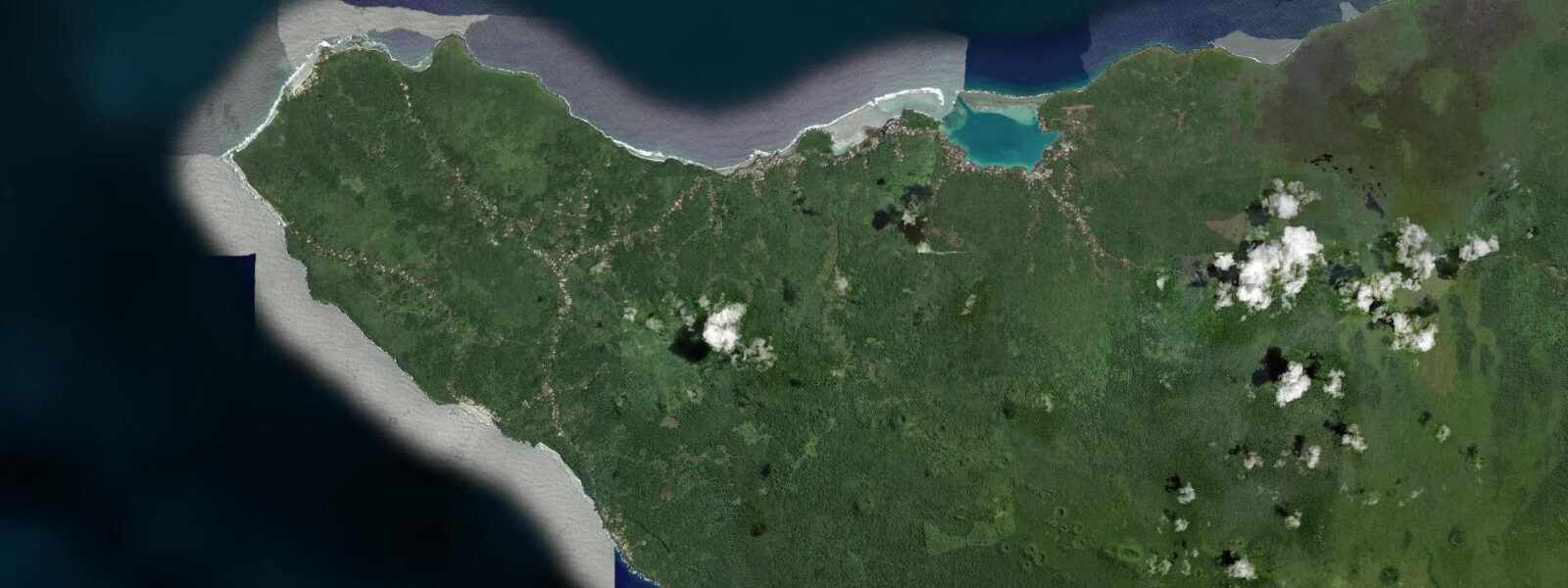
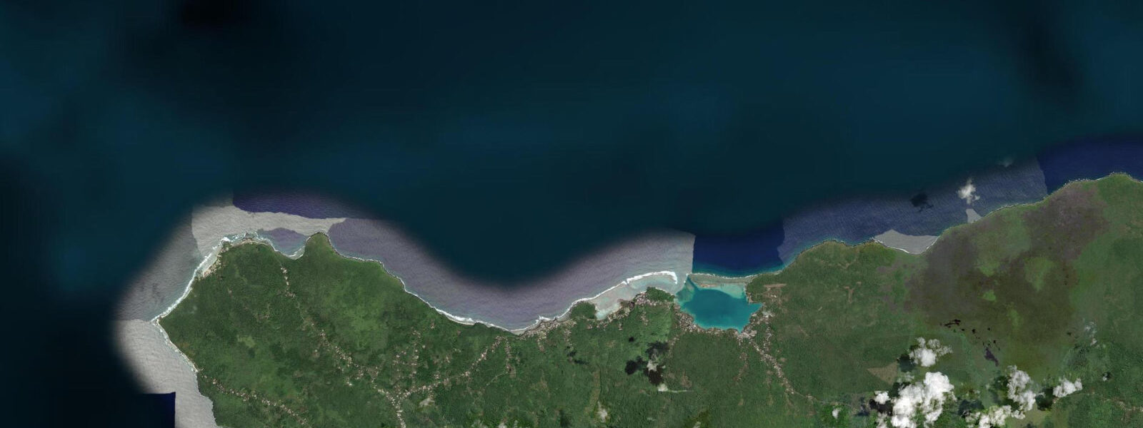
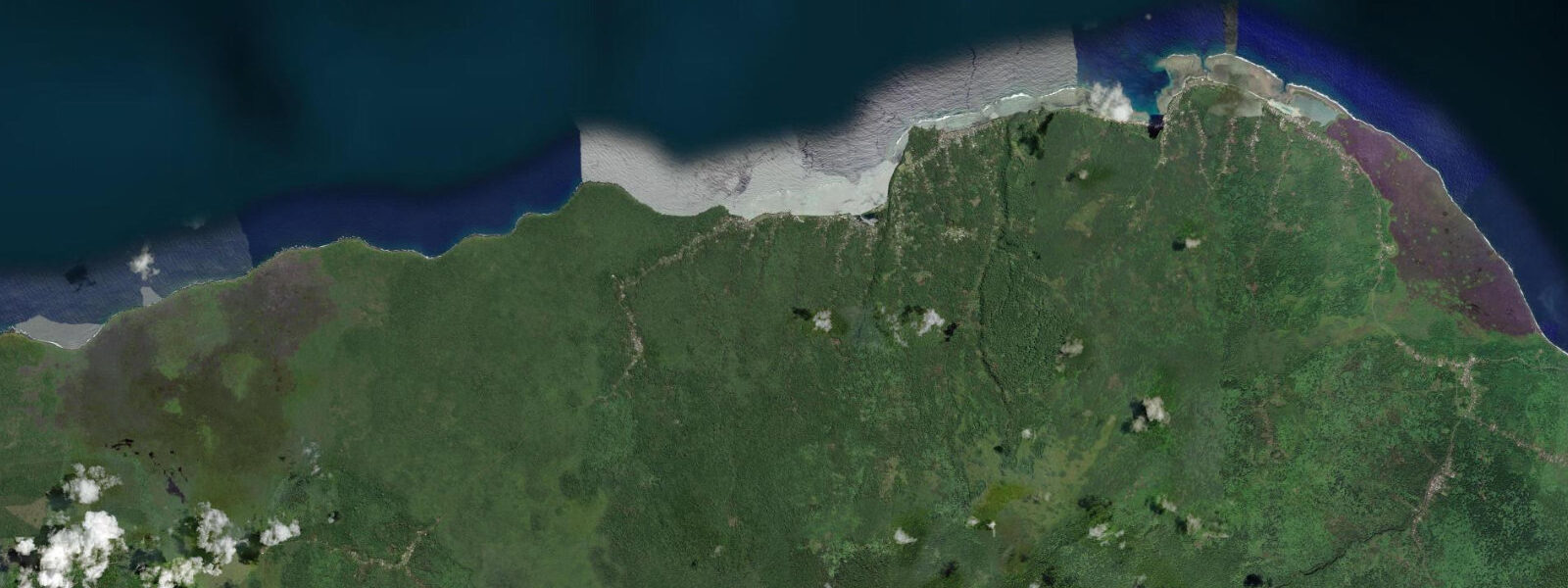
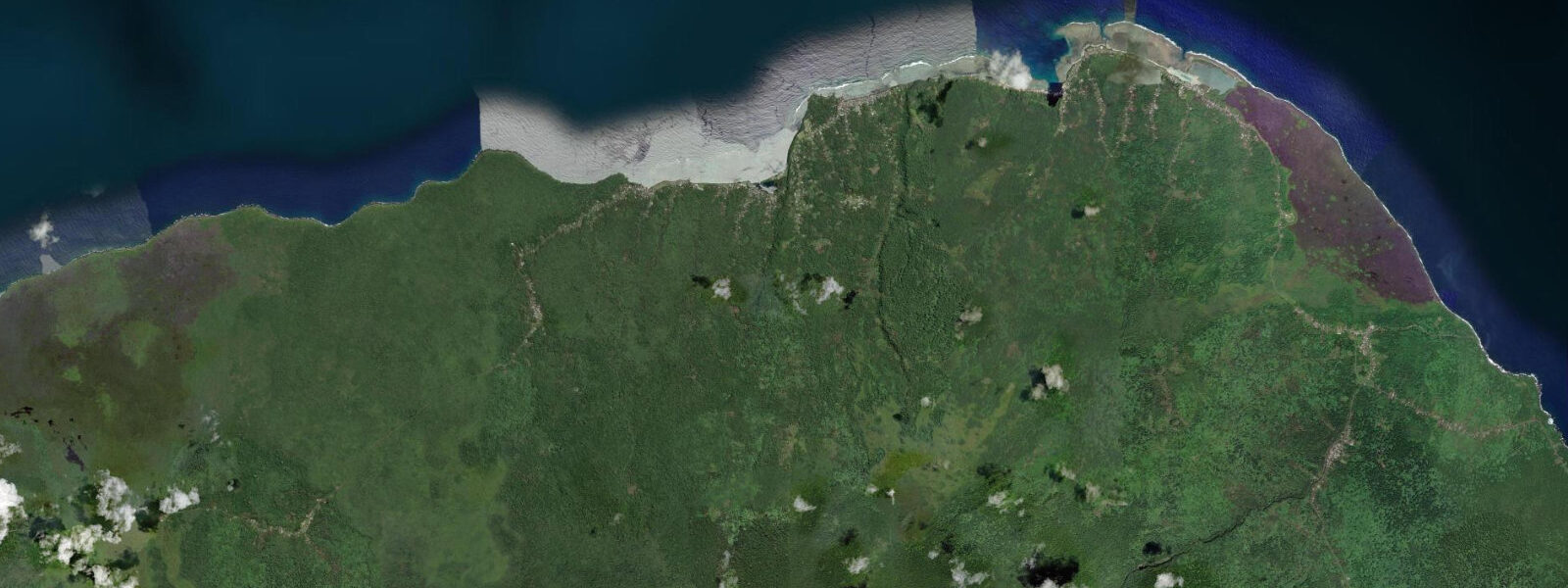
Falealupo occupies the westernmost tip of Savai'i, and by extension the westernmost point of Samoa — the last land before the International Date Line and the open Pacific rolling south toward Tonga. The village sits at the base of the cape, facing north and west into unobstructed trade-wind swell. The Falealupo coastal rainforest is the reason most visitors make the long drive out here: a canopy walkway bridges between mature fig and breadfruit trees 20 m above the forest floor, with the ocean visible through the foliage on the northwest side. The forest represents one of the few intact lowland coastal rainforest remnants in Samoa.
The tidal character at Falealupo differs from the sheltered southeast coast in one important way: there is no fringe reef on the northwest face of the cape. The full trade-wind swell arrives directly at the shoreline, and the tidal signal combines with wave run-up to produce a water-level envelope substantially wider than the 1.0–1.2 m spring tidal range alone suggests. At high spring tide combined with a 1.5 m swell, water reaches the base of the coastal forest margin. At low spring tide with calm conditions, black lava platforms are fully exposed down to Chart Datum and beyond.
For photographers, Falealupo is one of the most dramatic coastal shooting locations in the Pacific. The black lava platforms at the cape's tip provide foreground at low tide; the green rainforest rises immediately behind; trade-wind swell backlit by the late afternoon sun creates spray columns against the cliff faces on the northwest shore. The best light arrives in the final hour before sunset — approximately 17:45–18:30 local time year-round given the low latitude. Low spring water, when the lava platforms are fully exposed, gives the richest foreground. Platform access requires reef shoes and attention to wave sets: rogue waves from the northwest arrive without warning, especially during southerly low-pressure systems.
Anglers targeting pelagics — yellowfin tuna, wahoo, skipjack — work the point at Falealupo from the cliff-top casting platforms and from small boats launched off the beach at the village. The northwest cape concentrates bait on the ebb current, which runs northeast along the north coast of Savai'i and accelerates around the point. Bottom lures worked at the cliff base in 10–20 m target trevally and snapper. The optimal window is the two hours either side of the ebb low — when the current is running hard — in the morning before trade-wind chop makes boat control difficult.
Kayakers should treat Falealupo as an advanced location. The northwest exposure means sea state is rarely flat past 09:00, and the cape itself generates confused swell when trade-wind and long-period swells interact. The sheltered lagoon section immediately east of the village is more forgiving: at high tide the lagoon carries 1.0–1.2 m of water and provides protected flat-water paddling along the edge of the coastal forest. At low tide the lagoon partially drains across its reef flat, leaving an inner pool of 0.3–0.5 m suitable for sit-on-top kayaks in calm conditions.
Families visiting for the canopy walkway rather than the ocean should check the village access road: the unsealed section crosses two stream fords that flood after rain and can become impassable for low-clearance vehicles. Tidal timing here is relevant for the ford crossings only indirectly — heavy rain typically coincides with incoming tropical moisture rather than tidal state — but the general principle of checking conditions before committing to the road applies equally to both weather and tide.
Cyclone season (November–April) brings the real risk at Falealupo: the exposed northwest face is directly in the path of cyclones tracking southwest from the ITCZ. Storm surge plus wave action in a direct hit can overtop the coastal margin entirely.
All tide predictions for Falealupo come from the Open-Meteo Marine gridded model. Timing accuracy is ±45 minutes; height accuracy is ±0.3 m above Chart Datum.
Tide questions about Falealupo
Quick answers to the most common questions about tide times, range, and water access at Falealupo.
Is the lava platform at Falealupo cape safe to access at low tide?
The platform is accessible at low spring water — gauge below 0.4 m — but requires reef shoes and constant wave awareness. The northwest face is unprotected by any fringe reef, so swell arrives full-force at the cliff base. Even on low-swell days, the northwest cape generates confused wave interactions that produce unpredictable run-up onto the platforms. Never turn your back to the ocean while on the lower platforms. Photography and exploration are best done during the one-hour window centred on predicted low water, using the upper platform section as a retreat point. Open-Meteo Marine predictions carry ±45 minutes timing uncertainty.
What is the best time of day for photography at Falealupo?
The final hour before sunset — roughly 17:45–18:30 year-round — is the prime window. Trade-wind swell backlit by low westerly sun creates spray columns against the black lava cliffs on the northwest shore. Low spring tide gives the richest foreground, with the full lava platform exposed. Combine low spring water with late afternoon light for the best conditions: check TideTurtle for days when the predicted low falls between 15:00 and 17:00 local time. That alignment occurs on roughly four to six days per lunar cycle. Sunrise on the sheltered lagoon side offers a quieter alternative — flat water, forest reflections, and fishing pirogues.
Can I launch a kayak from Falealupo village?
Yes, with conditions. The sheltered lagoon immediately east of the village provides protected flat-water paddling at tidal gauge readings above 0.4 m. Below that, the inner lagoon reef flat partially drains and passage is limited to sit-on-top kayaks in the remaining pool. Do not paddle around the northwest cape past 09:00 — trade winds build reliably after that time and the open-water exposure is substantial. The cape itself creates confused swell interactions from northwest and northwest-refracted wave trains even in moderate conditions. This location is rated advanced for open-coast paddling.
When do pelagic fish concentrate around the Falealupo cape?
The ebb current runs northeast along Savai'i's north coast and accelerates around the cape, concentrating bait at the point. The two hours either side of low water on the ebb — when current speed is highest — is the most productive window for tuna, wahoo, and skipjack from small boats or cliff-top casting platforms. Launch from the village beach on the flood tide, fish the point through the ebb, and return before trade-wind chop makes boat handling difficult, typically by 09:00–10:00. Bottom lures at the cliff base in 10–20 m target trevally and snapper throughout the tidal cycle.
How does the canopy walkway visit relate to tidal conditions?
The canopy walkway itself is not tide-dependent — it is 20 m above the forest floor, well clear of any tidal inundation. However, the access road to Falealupo crosses stream fords that flood after heavy rain, and heavy rain in Samoa often arrives with the same northwest weather systems that drive high surf and surge at the cape. If an active tropical depression is in the area, the road and the coast should both be treated as potentially hazardous. Cyclone season runs November–April. Outside that window, the road and coast are accessible in normal conditions regardless of tidal state.
7-day tide table — Falealupo
Heights relative to MSL. Predictions: Open-Meteo Marine (MeteoFrance SMOC, 0.08° grid) — heights relative to MSL (not chart datum / LAT). Model-derived.
| Day | Type | Time | Height |
|---|---|---|---|
| Mon 29 Jun | High | 04:46 | 1.3m |
| Low | 11:12 | 0.4m | |
| High | 17:18 | 1.1m | |
| Low | 23:10 | 0.4m | |
| Tue 30 Jun | High | 05:24 | 1.3m |
| Low | 11:48 | 0.3m | |
| High | 17:54 | 1.1m | |
| Low | 23:36 | 0.4m | |
| Wed 01 Jul | High | 05:57 | 1.3m |
| Thu 02 Jul | Low | 13:00 | 0.3m |
| High | 19:03 | 1.1m | |
| Fri 03 Jul | Low | 00:54 | 0.4m |
| High | 07:12 | 1.3m | |
| Low | 13:36 | 0.4m | |
| Sat 04 Jul | High | 07:48 | 1.2m |
| Low | 14:16 | 0.3m | |
| High | 20:18 | 1.1m | |
| Sun 05 Jul | Low | 02:12 | 0.4m |