Paia / Saleaula Lava Fields, Savai'i tide times
Paia / Saleaula Lava Fields, Savai'i tide forecast — heights relative to MSL.
Tide chart for Paia / Saleaula Lava Fields, Savai'i
24-hour cosine-interpolated curve around the present moment. Heights relative to MSL. Predictions: Predictions: Open-Meteo Marine (MeteoFrance SMOC, 0.08° grid).
Sun, moon and conditions on Mon 06 Jul
Snapshot at build time — refreshes daily. Sea state from Open-Meteo Marine.
Highs and lows next 7 days
Every predicted high and low for the next week, with the daily tidal coefficient (0–120; higher = bigger swing, > 95 means stronger currents).
Other spots nearby
The three closest curated TideTurtle locations to Paia / Saleaula Lava Fields, Savai'i, measured by great-circle distance.
Today's solunar windows
Solunar tradition: major periods are the ≈3h windows around moon transit and opposition; minor are ≈2h around moonrise and moonset. Pair with the local tide stage and wind for the best read.
Cycle dates near Paia / Saleaula Lava Fields, Savai'i
Next spring tide on Sun 05 Jul (range 0.7m). Next neap on Mon 06 Jul.
Spring tides cluster around new and full moons (biggest swings). Neap tides land on quarter moons (smallest swings). See the spring tide and neap tide glossary entries for the why.
About tides at Paia / Saleaula Lava Fields, Savai'i
A short guide to the coastline at Paia / Saleaula Lava Fields, Savai'i — geography, sea state, and what the tide is actually doing under your feet.
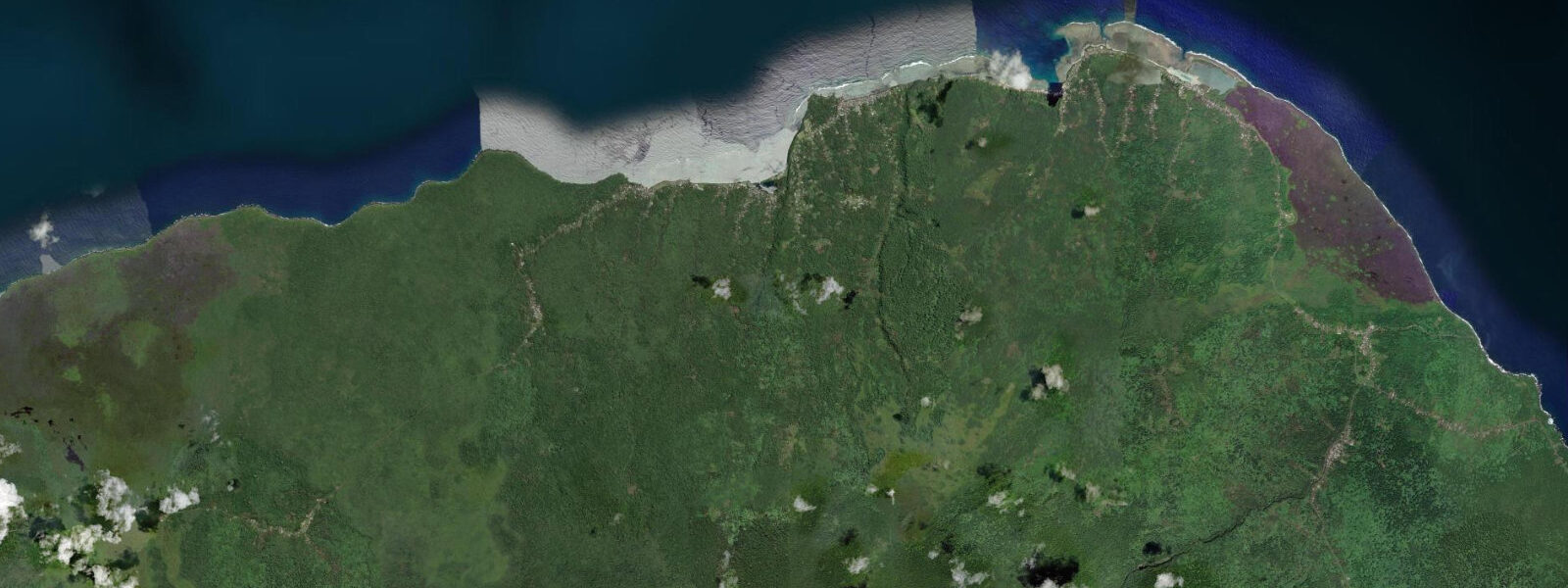
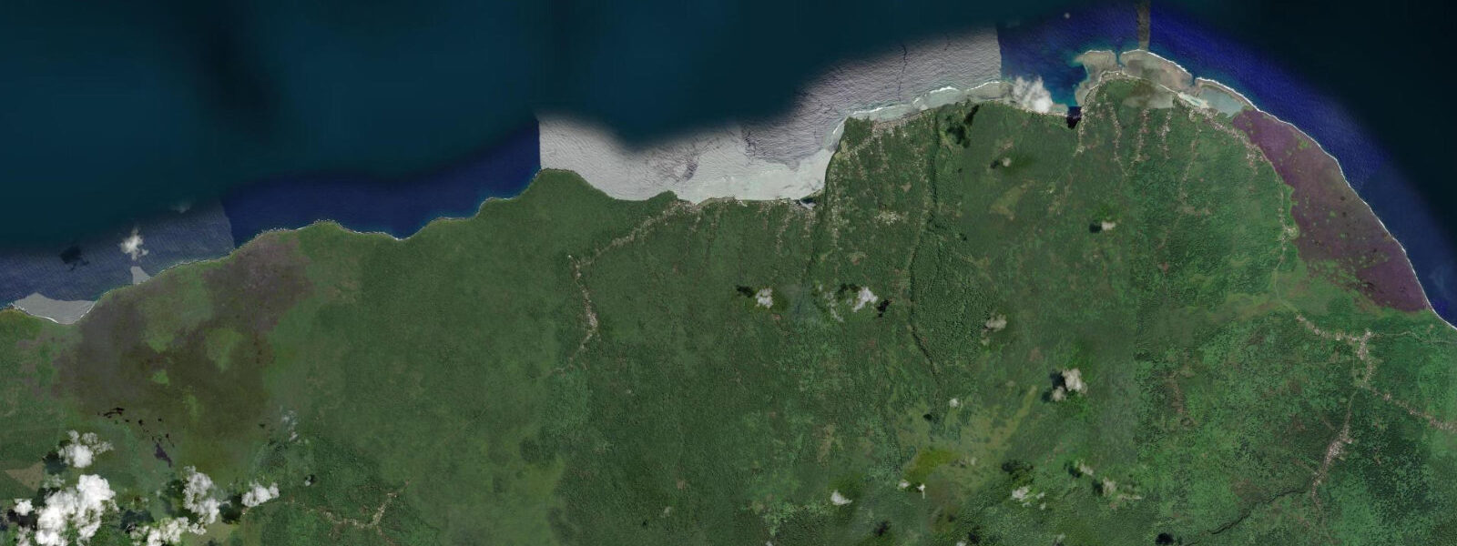
The Saleaula lava fields on the northeast coast of Savai'i are the most visible evidence of the Matavanu eruption — the volcanic event that ran from 1905 to 1911 in the interior of Savai'i and sent repeated lava flows down the northeastern slope to the coast. The eruption lasted six years and produced aa lava flows that buried four villages and approximately 50 km² of the island's most fertile coastal land. The flows reached the sea at Saleaula, adding a new rocky shelf to the coastline.
The Saleaula church ruins are the most striking remnant. The London Missionary Society stone church at Saleaula was a substantial colonial-era structure; the 1905 lava flow buried it to the roof line, leaving only the tower projecting from the flat black surface. The lava surrounding it is still largely barren more than a century later — only pioneer plants are taking hold in the crevices of the aa surface, and no soil has formed. The village cemetery behind the church was covered; carved gravestones are occasionally visible where the lava surface has crumbled at the edges. Walking the lava field around the church ruins takes 30 minutes and requires attention to the uneven, sharp-edged aa surface; closed shoes are essential.
The Virgin's Grave is a lava tube that terminates at the cliff edge, opening above the sea. Entering from the inland end, the tube narrows to a crawl at the access point and opens into a cathedral-sized chamber lit from below by the seawater reflected through the coastal opening. At low water on calm days the tube floor is accessible to the shoreline; at high water it fills. Local guides lead the tube visits; access without a guide is not recommended because the low sections and the drop to the sea require specific knowledge of which passages are safe.
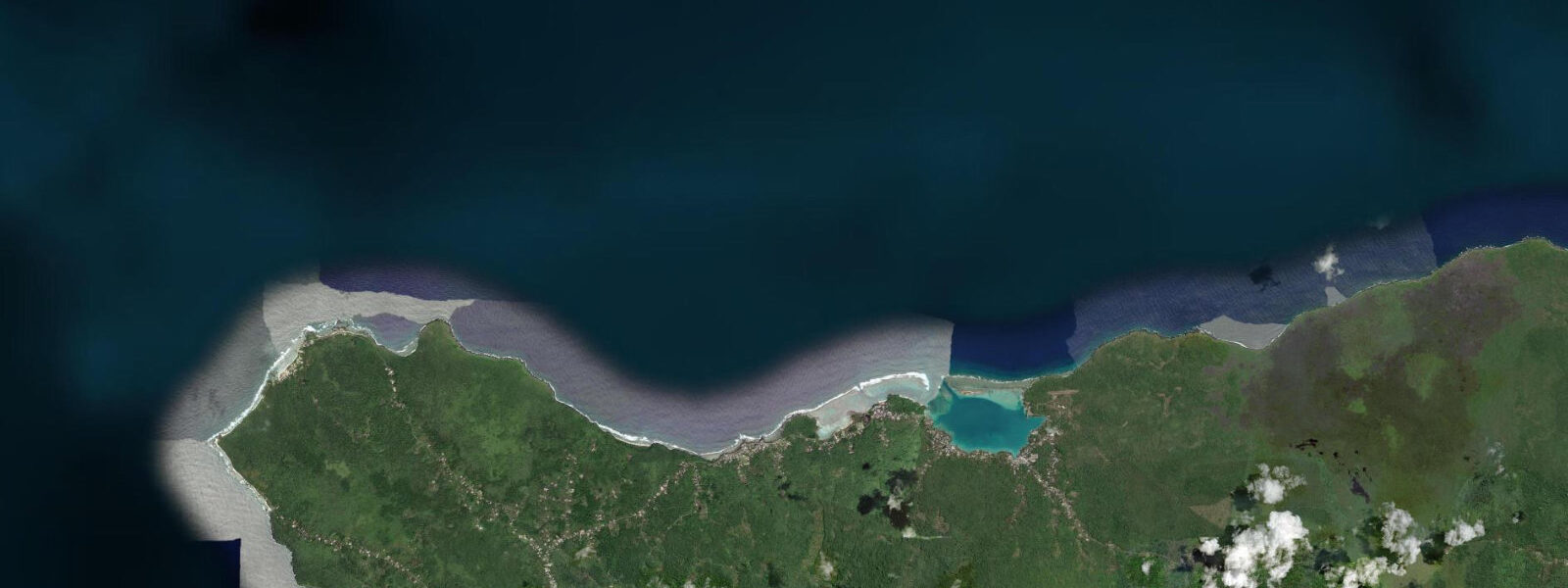
The Taga blowholes on the south coast of Savai'i, 30 km from Saleaula, are the third major volcanic coastal feature. The lava tube network under the coastal shelf channels Pacific swell energy and expels it through vertical vents in the rock surface; on the right swell day the columns reach 20 to 30 m. The key variables are swell height (2 m or more from the south-southwest) and swell period (10 to 14 seconds for the best tube resonance). A flat day or a short-period chop produces nothing. The blowholes face south; winter Southern Ocean swells from June through October produce the best activity. Standing near the vents when they are active is dangerous — the ejected water and rock fragments travel 5 to 15 m sideways as well as upward. Stay behind the marked observation area. Pacific mixed semidiurnal, spring range 0.8 to 1.2 m. Predictions on this page come from Open-Meteo Marine (gridded model, ±45 min / ±0.2–0.3 m). The Robert Louis Stevenson Museum at Vailima on Upolu, while across the inter-island crossing from Savai'i, provides the literary context for the Samoa landscape; Stevenson spent the last four years of his life on Upolu and is buried on the Mount Vaea summit above Apia. The Saleaula lava field with its buried church is a visual companion to Stevenson's descriptions of Samoan landscape in his travel essays from the 1890s. Paia village sits on a basalt headland at the northwest corner of Savai'i where lava flows from the 1905–1911 eruption of Matavanu Volcano reached the coast and solidified into a dramatic rock shelf. The lava shelf is only fully exposed during the lowest spring tides; at mean high water the shelf is submerged to knee depth. The shelf's flat, porous basalt holds marine life in tide pools that are among the richest per square metre on Savai'i — sea urchins, brittle stars, moray eels in the deeper cracks. The Afu Aau waterfall in the Falealupo area, a short drive south of Paia, flows over a basalt ledge directly onto the beach; visiting at low tide allows full access to the pool at the base of the falls. Photography from the lava shelf at sunset, when the rock turns deep red and the tide pools catch the last light, is a well-known Savai'i coastal experience. The surfing break at Falealupo works on south swell in winter months (June through September) and is accessible only at higher water levels that cover the reef sufficiently for safe exit.
Tide questions about Paia / Saleaula Lava Fields, Savai'i
Quick answers to the most common questions about tide times, range, and water access at Paia / Saleaula Lava Fields, Savai'i.
When is the next high tide at Saleaula?
The hero block shows the next predicted high at Saleaula in Samoa Standard Time (WST, UTC+13). Pacific mixed semidiurnal, spring range 0.8 to 1.2 m. The lava shelf at the coastal cliff is most accessible at the spring low for 1 to 2 hours. The Virgin's Grave lava tube chamber fills to the sea opening at high water; low water gives the best interior access. The Taga blowholes respond to swell, not tidal state. Predictions from Open-Meteo Marine (gridded model, ±45 min / ±0.2–0.3 m).
What is the tidal range at Saleaula?
Spring range runs 0.8 to 1.2 m; neap range about 0.4 to 0.6 m. The rocky lava coast here has a narrow intertidal shelf; the tidal difference changes the water level at the base of the cliff by 0.8 to 1.2 m at springs, affecting access to the lower lava shelf and the Virgin's Grave tube entrance. The blowholes operate on swell energy rather than tidal phase. Two mixed semidiurnal cycles per day means the lava shelf has two low-tide windows per day; the deeper of the two lows on a spring day gives the best access to the lower coastal shelf.
Where do these predictions come from?
Open-Meteo Marine, a free gridded global ocean model, accuracy ±45 min / ±0.2–0.3 m. The Samoa Meteorological Division publishes tidal data for Samoa; the main reference station is Apia. For the Taga blowhole activity, the relevant data is the ocean swell forecast — a south-southwest swell of 2 m or more at 10 to 14 second period is the trigger. Pacific regional swell models (available via Windy, Surfline, or the Fiji Meteorological Service) provide this forecast. For the Taga blowholes, the swell forecast is the critical data — not the tide table. South-southwest swell of 1.5 m or more at 10 to 14 second period is the blowhole trigger.
When do the Taga blowholes perform best?
A south-southwest swell of 1.5 m or more, with a period of 10 to 14 seconds, arriving from the open Pacific across the clear fetch south of Savai'i, produces the best Taga blowhole activity. Columns reaching 20 to 30 m require 2 m or more at 12 to 14 seconds. June through October — Southern Ocean winter swell season — is when these conditions are most frequent. Flat days or northeast trade-wind chop from the other direction produce nothing. Stand back from the vents: ejected water and stone travel 5 to 15 m horizontally.
Is this safe to use for navigation?
No. TideTurtle is a planning tool. The lava coast at Saleaula and the Taga headland are exposed rocky shoreline with unpredictable wave surge on the lava shelf. Approach the cliff edge and blowhole vents only from the marked viewpoint when swell is running. For vessel navigation along the Savai'i coast, use official chart sources and Samoa Maritime Safety Administration guidance. The lava coast is exposed to wave surge; the blowhole vents eject water 5 to 15 m sideways when active. For vessel operations along the Savai'i coast use official chart sources and Samoa Maritime Safety Administration guidance.
7-day tide table — Paia / Saleaula Lava Fields, Savai'i
Heights relative to MSL. Predictions: Open-Meteo Marine (MeteoFrance SMOC, 0.08° grid) — heights relative to MSL (not chart datum / LAT). Model-derived.
| Day | Type | Time | Height |
|---|---|---|---|
| Mon 06 Jul | Low | 02:45 | 0.4m |
| High | 09:00 | 1.1m | |
| Low | 15:22 | 0.4m | |
| Tue 07 Jul | High | 09:50 | 1.1m |
| Low | 16:07 | 0.4m | |
| High | 22:22 | 1.1m | |
| Wed 08 Jul | Low | 04:37 | 0.5m |
| High | 10:47 | 1.1m | |
| Low | 17:03 | 0.4m | |
| High | 23:22 | 1.1m | |
| Thu 09 Jul | Low | 05:36 | 0.5m |
| High | 11:52 | 1.1m | |
| Fri 10 Jul | Low | 06:43 | 0.4m |
| High | 12:52 | 1.1m | |
| Sat 11 Jul | Low | 07:51 | 0.4m |
| High | 14:02 | 1.1m | |
| Low | 20:02 | 0.3m | |
| Sun 12 Jul | High | 02:25 | 1.3m |
| Low | 08:51 | 0.2m | |
| High | 12:00 | 0.7m |