Manase, Savai'i, Samoa tide times
Manase, Savai'i, Samoa tide forecast — heights relative to MSL.
Tide chart for Manase, Savai'i, Samoa
24-hour cosine-interpolated curve around the present moment. Heights relative to MSL. Predictions: Predictions: Open-Meteo Marine (MeteoFrance SMOC, 0.08° grid).
Sun, moon and conditions on Mon 06 Jul
Snapshot at build time — refreshes daily. Sea state from Open-Meteo Marine.
Highs and lows next 7 days
Every predicted high and low for the next week, with the daily tidal coefficient (0–120; higher = bigger swing, > 95 means stronger currents).
Other spots nearby
The three closest curated TideTurtle locations to Manase, Savai'i, Samoa, measured by great-circle distance.
Today's solunar windows
Solunar tradition: major periods are the ≈3h windows around moon transit and opposition; minor are ≈2h around moonrise and moonset. Pair with the local tide stage and wind for the best read.
Cycle dates near Manase, Savai'i, Samoa
Next spring tide on Fri 10 Jul (range 0.9m). Next neap on Mon 06 Jul.
Spring tides cluster around new and full moons (biggest swings). Neap tides land on quarter moons (smallest swings). See the spring tide and neap tide glossary entries for the why.
About tides at Manase, Savai'i, Samoa
A short guide to the coastline at Manase, Savai'i, Samoa — geography, sea state, and what the tide is actually doing under your feet.
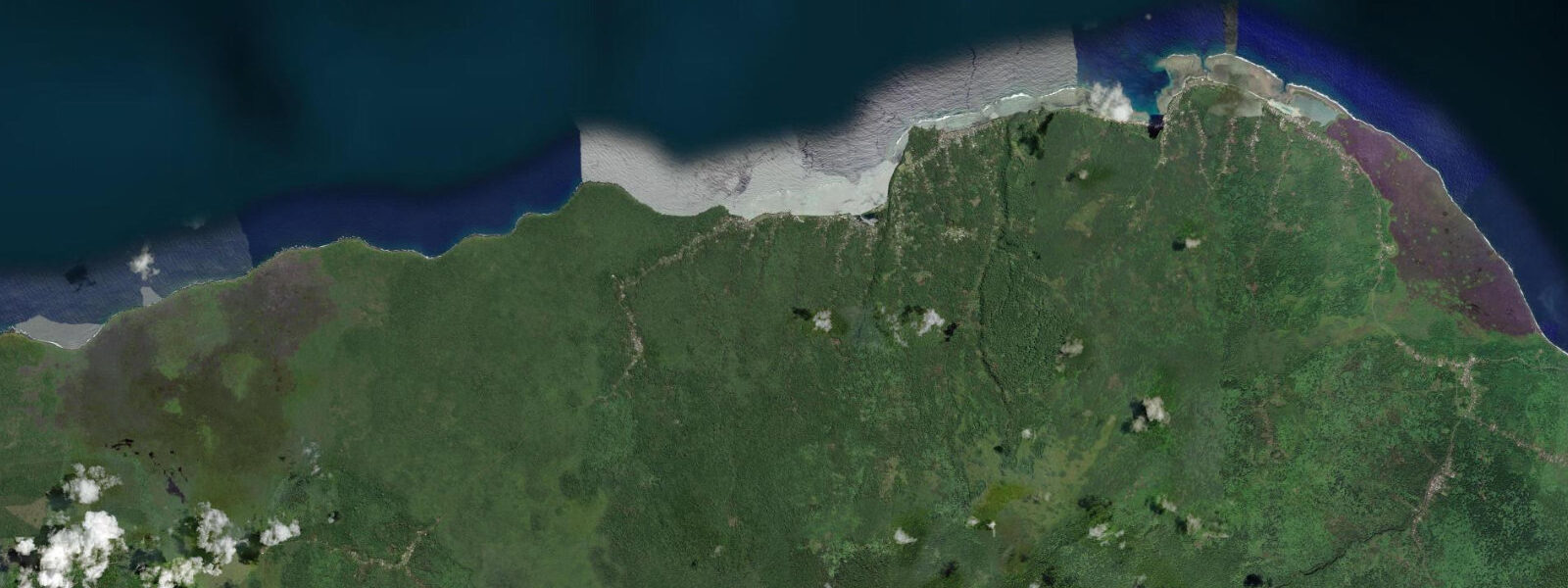
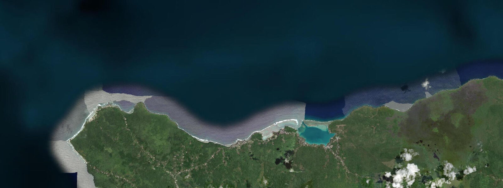
Manase is a village on the north coast of Savai'i, on a bay framed by a fringing reef that creates a calm shallow swimming and snorkelling zone in the water directly off the beach. The north coast of Savai'i is the primary tourism corridor on the island — less developed than Upolu where the capital Apia is, but with the densest concentration of beach fale accommodation anywhere in Samoa.
Beach fale are the defining experience of the Savai'i north coast. A fale is a traditional Samoan open-sided structure — a platform on posts, roofed but without walls, with a sleeping mat, a mosquito net, and usually a mosquito coil burning at night. On the beachfront, the walls are open or screened to catch the trade wind, the sound of the reef is constant through the night, and the morning starts with the waterline visible from the bed. The fale operators are the village families; meals are home-cooked in the family kitchen, the fale rate covers dinner and breakfast, and the arrangement puts income directly into the village household rather than through a resort corporate structure. This is deliberate — the Samoan government promoted beach fale tourism as a community livelihood model that preserves both the coastal landscape and village cultural authority over it.
The beach at Manase is not exceptional by global comparison — it is pleasant, fringing-reef-sheltered, and functional. The fringing reef 50 to 100 m from the beach creates a calm-water zone at all tide states; the coral heads in 1 to 3 m of water on the reef flat are accessible to snorkellers from the beach without a boat. Sea turtles (green and hawksbill) feed on the seagrass patches between the reef heads and are commonly encountered by morning snorkellers. The reef flat is walkable on the spring low tides: the drop of 0.8 to 1.2 m exposes the shallowest sections to 20 to 40 cm of water, and families with young children use these low-tide reef flats for hours of wading and rock-pool exploration.
The Pacific mixed semidiurnal tidal pattern produces two slightly unequal cycles per day. At the spring high, the water reaches to within 5 to 10 m of the fale platforms on the lower beachfront sections; at the spring low, the reef flat is accessible for 1 to 2 hours. The spring lows in December through February are the lowest of the year in Samoa and give the widest reef flat exposure. Shore anglers work the reef edge from small boats at dawn for grouper, snapper, and the small tuna species that school around the reef margin at first light. The best angling window is the first 2 hours after sunrise on an incoming tide. Predictions on this page come from Open-Meteo Marine (gridded model, ±45 min / ±0.2–0.3 m). The fa'asamoa (Samoan custom) protocols apply throughout the Manase area: entering a village requires acknowledging the matai (chief) and using the road rather than cutting through communal areas. The fale operators navigate this for their guests automatically; travellers exploring independently beyond the main fale strip benefit from a brief orientation from their host family. The local church (Sunday service) is a significant community event and visitors are welcome to attend; the singing is worth hearing. The beach at Manase has a long sand bar extending 200 to 300 m from the high-water line before the reef edge drops into deeper water; at low tide the bar is walkable dry without reef shoes for most of its length, but the final 50 m before the reef edge requires care. The resort structures at Manase — locally-owned fales that line the beach — are set back above the high-tide line and are unaffected by the tidal cycle during normal sea conditions. South Pacific cyclone season runs from November through April; storm surge during a cyclone event can overtop even the high-water line here, and the fale owners have community protocols for evacuation. During the dive season (May through October), the offshore bommies within the lagoon are visited by glass-bottom boat tours timed to the high-water entry when the lagoon floor bommies are accessible at safe depth. Underwater photographers find the best light on the Manase inner reef in the morning flood, with the sun rising over the Savai'i interior and light penetrating the water at a low angle before 09:00.
Tide questions about Manase, Savai'i, Samoa
Quick answers to the most common questions about tide times, range, and water access at Manase, Savai'i, Samoa.
When is the next high tide at Manase?
The hero block shows the next predicted high at Manase in Samoa Standard Time (WST, UTC+13). Pacific mixed semidiurnal, spring range 0.8 to 1.2 m. At the spring high, water reaches within 5 to 10 m of the beachfront fale platforms; at spring low, the fringing reef flat is accessible in 20 to 40 cm of water for 1 to 2 hours. The 7-day table covers all tidal extremes. Predictions from Open-Meteo Marine (gridded model, ±45 min / ±0.2–0.3 m).
What is the tidal range at Manase, Savai'i?
Spring range runs 0.8 to 1.2 m; neap range about 0.4 to 0.6 m. The mixed semidiurnal Pacific pattern means the two daily highs are not equal; the larger high on a spring day can approach the fale platforms on the lower beachfront. The fringing reef flat exposure on spring lows — 20 to 40 cm of water — is the best wading and reef-walk window. Lowest tides of the year in Samoa occur from December through February. The fringing reef flat at Manase is most accessible on the lowest spring lows — December through February gives the lowest predicted tides for Samoa. Target mornings within 3 days of new or full moon for the widest reef flat access.
Where do these predictions come from?
Open-Meteo Marine, a free gridded global ocean model, accuracy ±45 min / ±0.2–0.3 m. The Samoa Meteorological Division publishes tidal data; the main reference station is Apia Harbour on Upolu. Manase on the north Savai'i coast has a small timing offset from Apia due to the inter-island geometry. Samoa Meteorological Division publishes tidal data; the Apia Harbour reference station is the main Samoa predictor. Manase on north Savai'i has a small offset from Apia. Official tide tables for Samoa are produced by the Samoa Meteorological Service; these provide the national reference for tide prediction calibrated to Apia port gauge data.
What activities work around the tidal cycle at Manase?
Reef snorkelling is best on the rising or high tide when water covers the flat at 1 to 2 m and visibility over the coral heads improves. The reef flat in 20 to 40 cm of water at the spring low is accessible for wading families — sea stars, hermit crabs, small reef fish visible without getting wet above the knees. Kayaks from the fale operators work inside the reef at any tide state. Shore fishing from the reef edge is most productive at dawn on the tide turns. Beach walking is unobstructed at all tide states on the sandy north coast.
Is this safe to use for navigation?
No. TideTurtle is a planning tool. The Savai'i north coast fringing reef has reef passes and shallow sections. For vessel navigation along the Savai'i coast, use official chart sources and the Samoa Maritime Safety Administration guidance. The Savai'i north coast fringing reef has passes and channel sections; for vessel navigation use official chart sources and Samoa Maritime Safety Administration guidance. For vessel navigation in Samoan waters, use official chart products and the Samoa Meteorological Service tide tables. TideTurtle presents planning-grade data only.
7-day tide table — Manase, Savai'i, Samoa
Heights relative to MSL. Predictions: Open-Meteo Marine (MeteoFrance SMOC, 0.08° grid) — heights relative to MSL (not chart datum / LAT). Model-derived.
| Day | Type | Time | Height |
|---|---|---|---|
| Mon 06 Jul | Low | 02:50 | 0.4m |
| High | 09:00 | 1.2m | |
| Low | 15:18 | 0.4m | |
| High | 21:36 | 1.1m | |
| Tue 07 Jul | Low | 03:37 | 0.5m |
| High | 09:52 | 1.1m | |
| Low | 16:10 | 0.4m | |
| Wed 08 Jul | High | 10:47 | 1.1m |
| Low | 17:03 | 0.4m | |
| High | 23:23 | 1.1m | |
| Thu 09 Jul | Low | 05:36 | 0.5m |
| High | 11:56 | 1.1m | |
| Low | 18:00 | 0.5m | |
| Fri 10 Jul | High | 00:23 | 1.2m |
| Low | 06:43 | 0.4m | |
| High | 12:52 | 1.1m | |
| Sat 11 Jul | Low | 07:50 | 0.4m |
| High | 14:00 | 1.1m | |
| Sun 12 Jul | Low | 08:55 | 0.2m |
| High | 12:00 | 0.7m |