Anse Chastanet tide times
Anse Chastanet tide forecast — heights relative to MSL.
Today's tide times for Anse Chastanet
Tide times at Anse Chastanet on Saturday, 4 July 2026: first high tide at 04:15am, first low tide at 11:45am. Sunrise 05:41am, sunset 06:36pm.
Tide chart for Anse Chastanet
24-hour cosine-interpolated curve around the present moment. Heights relative to MSL. Predictions: Predictions: Open-Meteo Marine (MeteoFrance SMOC, 0.08° grid).
Sun, moon and conditions on Sat 04 Jul
Snapshot at build time — refreshes daily. Sea state from Open-Meteo Marine.
Highs and lows next 7 days
Every predicted high and low for the next week, with the daily tidal coefficient (0–120; higher = bigger swing, > 95 means stronger currents).
Other spots nearby
The three closest curated TideTurtle locations to Anse Chastanet, measured by great-circle distance.
Today's solunar windows
Solunar tradition: major periods are the ≈3h windows around moon transit and opposition; minor are ≈2h around moonrise and moonset. Pair with the local tide stage and wind for the best read.
About tides at Anse Chastanet
A short guide to the coastline at Anse Chastanet — geography, sea state, and what the tide is actually doing under your feet.
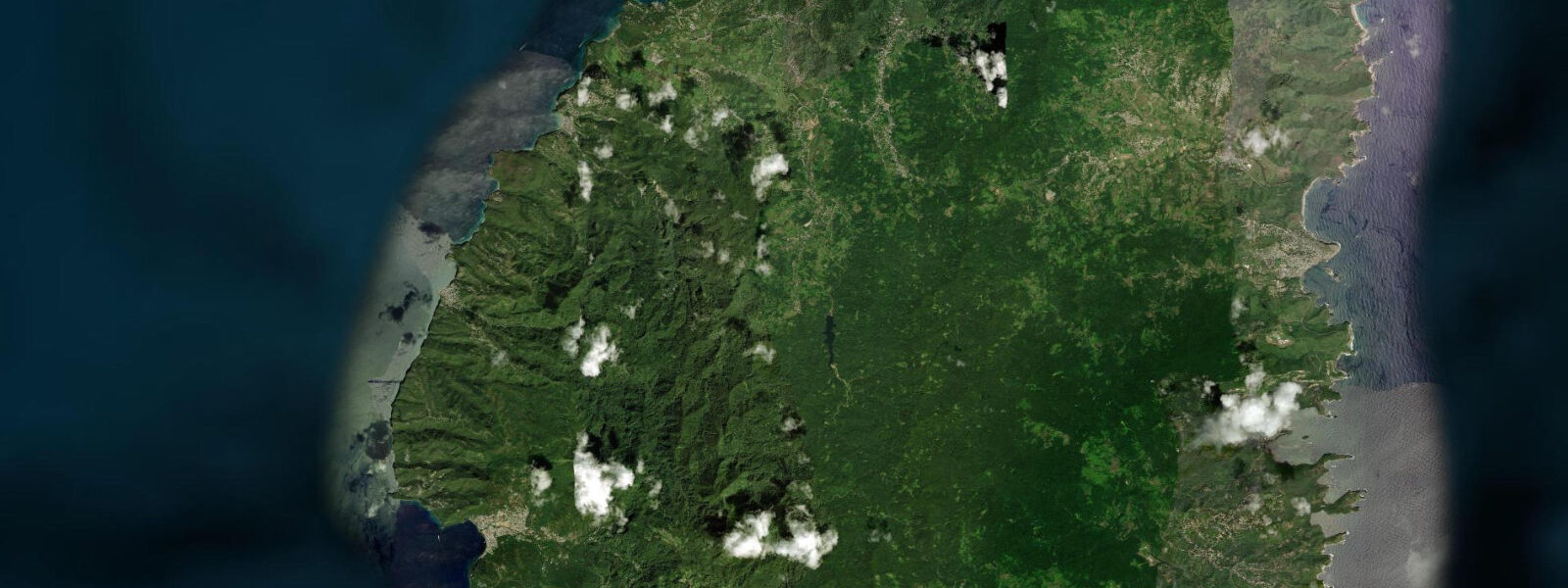
Anse Chastanet is a reef bay 2 kilometres north of Soufrière, named for the estate that occupied the surrounding land and now home to the Anse Chastanet Resort, one of the longest-established boutique dive resorts in the eastern Caribbean. The bay is defined by two points of volcanic rock that frame a 200-metre crescent of dark sand — the colour coming from the volcanic mineral content in the Caribbean. The sand is grey-black rather than white, a characteristic of the volcanic beaches that occurs on several of the southern Windward Islands where basalt and andesite erosion feeds the beach rather than coral.
The reef is the defining feature. The Anse Chastanet reef begins 10 metres from the beach waterline — no boat required — and descends in a series of wall sections to 40 metres depth on the outer face. At 10 metres the coral cover is dominated by star coral and brain coral heads, interspersed with sea fans and wire coral.
At 20 metres the wall develops an overhang character, with black coral (antipatharian coral) on the undersides and large sea fans facing the current. Seahorses have been recorded in the rubble zone at 5 to 8 metres. 5 metres at springs — small enough that the entry depth from the beach changes by only a fraction of a metre across the tidal cycle, making shore diving timing-independent.
The dive school and dive boat operation at Anse Chastanet is one of the most technically capable in Saint Lucia; the school carries PADI Gold Palm Resort status and runs courses from Open Water through Divemaster from the beach facility. The Trou au Diable cave system on the south side of the bay is accessible at low water — a partially submerged sea cave that requires swimming through an entrance at 2 metres depth. Snorkelling conditions from the beach are among the best in Saint Lucia: fish density in the shallower sections is high, visibility runs 15 to 25 metres in calm conditions, and the water is warm enough (26 to 28 degrees Celsius year-round) that a 3mm wetsuit is optional rather than required for most visitors.
Hikers can reach Anse Chastanet from Soufrière by the coastal trail that runs along the cliff above the water, approximately 45 minutes on a clear path. The drive involves a steep unpaved descent from the estate gate; the resort provides shuttle transport from Soufrière for day visitors. The north side of the bay — Anse Mamin — is accessible by boat and is a quieter beach with a ruined sugar mill estate at the waterline, used by the resort for mountain biking on the estate trails.
Predictions on this page come from Open-Meteo Marine, a gridded global ocean model. 3 metres on height — model-derived, not from a local gauge. The Saint Lucia Meteorological Service and the Caribbean Meteorological Organization provide regional sea-state reference data.
Tide questions about Anse Chastanet
Quick answers to the most common questions about tide times, range, and water access at Anse Chastanet.
Can I snorkel at Anse Chastanet without staying at the resort?
Yes. The beach and the reef are publicly accessible, though the resort manages the beach facility, the dive school, and the snorkel gear rental on the beach. Day visitors pay a beach access fee that entitles use of the beach and the resort's beach bar and restaurant at their posted prices. Snorkel gear rental is separate. The reef is accessible from the public beach without a guide. The resort's dive staff are available for guided snorkel tours. Arriving by water taxi from Soufrière avoids the steep road descent and is the most practical option for day visitors from other parts of Saint Lucia.
How deep does the Anse Chastanet reef go?
The reef begins at the surface of the water 10 metres from the beach and descends in wall and slope sections to approximately 40 metres on the outer face. The shallowest coral zone (5 to 10 metres) is the most accessible for snorkellers and beginner divers; the wall sections from 20 to 40 metres are for certified divers with experience. A dive to the deeper sections of the reef on a 2-tank boat trip from the dive school covers both the shallow coral garden and the deeper wall in a single day. Visibility on the reef in settled conditions runs 20 to 30 metres.
What is the water temperature at Anse Chastanet?
Sea surface temperature in Anse Chastanet Bay ranges from approximately 26 degrees Celsius at its coolest (February to March) to 29 to 30 degrees at peak summer (August to September). A 3mm shorty wetsuit is comfortable for extended dives in February and March; most divers wear a shorty or a skin suit year-round for sun protection and minor abrasion protection on the reef. The temperature gradient with depth is minimal — 2 to 3 degrees cooler at 40 metres than at the surface. These temperatures support excellent coral health compared to some more thermally stressed Caribbean reefs.
Is the Trou au Diable cave accessible?
The Trou au Diable (Devil's Hole) is a partially submerged sea cave on the south side of Anse Chastanet bay, accessible by swimming from the beach or by kayak. The entrance is at approximately 2 metres depth and requires a short duck-dive or a surface swim through a low-overhead section. Inside, the cave opens into a chamber with natural light filtering through a fissure above — the bioluminescence from the disturbed water is visible in the darker sections. The cave is not guided and not roped; basic snorkelling competence and comfort in enclosed water is required. It is most safely visited at low water and in calm sea conditions.
What fish can I see while snorkelling at Anse Chastanet?
The reef fish assemblage at Anse Chastanet is diverse. Common species in the shallows include French angelfish, queen angelfish, queen triggerfish, parrotfish (several species, from stoplight to rainbow), sergeant major, bluehead wrasse, and chromis. Trumpetfish hang vertically in the sea fans. Moray eels are present in the reef crevices at 5 to 15 metres — spotted and green moray. Turtles (hawksbill and green) are regularly seen and are habituated to divers and snorkellers. In the deeper sections, large barracuda are common, and the occasional nurse shark is seen resting on sand patches at 20 metres. Seahorses have been recorded in the rubble zone behind the main reef.
7-day tide table — Anse Chastanet
Heights relative to MSL. Predictions: Open-Meteo Marine (MeteoFrance SMOC, 0.08° grid) — heights relative to MSL (not chart datum / LAT). Model-derived.
| Day | Type | Time | Height |
|---|---|---|---|
| Sat 04 Jul | High | 04:15 | 0.5m |
| Low | 11:45 | 0.1m | |
| Sun 05 Jul | High | 05:00 | 0.4m |
| Low | 12:06 | 0.1m | |
| High | 18:50 | 0.4m | |
| Mon 06 Jul | — | ||
| Tue 07 Jul | Low | 13:00 | 0.2m |
| High | 19:50 | 0.4m | |
| Wed 08 Jul | Low | 03:50 | 0.2m |
| High | 20:50 | 0.5m | |
| Thu 09 Jul | — | ||
| Fri 10 Jul | Low | 06:00 | 0.1m |
| High | 19:00 | 0.4m | |