Mamaia tide times
Mamaia tide forecast — heights relative to MSL.
Tide chart for Mamaia
24-hour cosine-interpolated curve around the present moment. Heights relative to MSL. Predictions: Predictions: Open-Meteo Marine (MeteoFrance SMOC, 0.08° grid).
Sun, moon and conditions on Sun 21 Jun
Snapshot at build time — refreshes daily. Sea state from Open-Meteo Marine.
Highs and lows next 7 days
Every predicted high and low for the next week, with the daily tidal coefficient (0–120; higher = bigger swing, > 95 means stronger currents).
Other spots nearby
The three closest curated TideTurtle locations to Mamaia, measured by great-circle distance.
Today's solunar windows
Solunar tradition: major periods are the ≈3h windows around moon transit and opposition; minor are ≈2h around moonrise and moonset. Pair with the local tide stage and wind for the best read.
About tides at Mamaia
A short guide to the coastline at Mamaia — geography, sea state, and what the tide is actually doing under your feet.
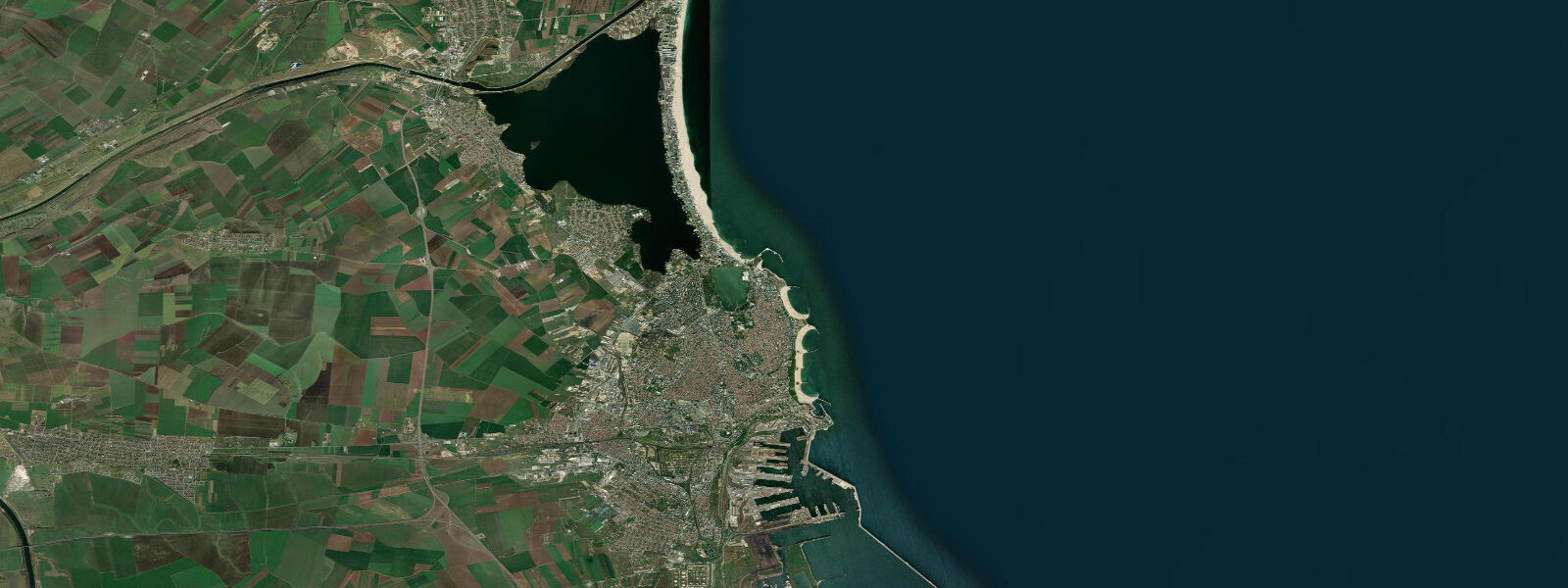
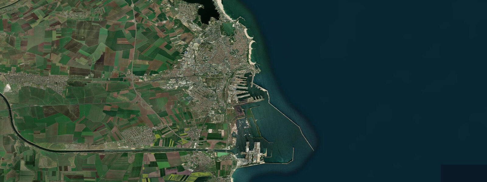
Mamaia occupies a narrow sand bar eight kilometres long between the Black Sea to the east and Lake Siutghiol to the west. The bar is 200 to 400 metres wide along most of its length, which means the sea beach and the lakeside are rarely more than a five-minute walk apart — a spatial compression that defines the character of the resort. The beach faces due east across open water toward the Turkish coast 450 kilometres distant; in the mornings the sun rises directly off the sea and the low light crosses the full width of the beach.
The resort is Romania's largest domestic beach destination. Development along the sand bar is nearly continuous — hotels, bars, beach clubs, and the Mamaia cable car running the length of the strip — and peak season in July and August brings the highest concentration of domestic and regional visitors. The resort was developed predominantly in the communist era (1960s–1980s), and many of the hotel blocks retain that architectural character, though the bar and beach-club scene has been extensively modernised since 1990.
The Black Sea water temperature at Mamaia follows a wide seasonal swing: it runs 3 to 6°C in winter and climbs to 24 to 26°C in August. The shelf is gently sloping, the wave regime is generally moderate, and the water at the beach is safe for family swimming through the summer season. On the lake side, Siutghiol holds pelicans, cormorants, great white egrets, and other waterbirds year-round — the Danube Delta to the north is one of the largest waterbird breeding areas in Europe, and the lagoon and coastal lake system here forms part of the same migratory corridor.
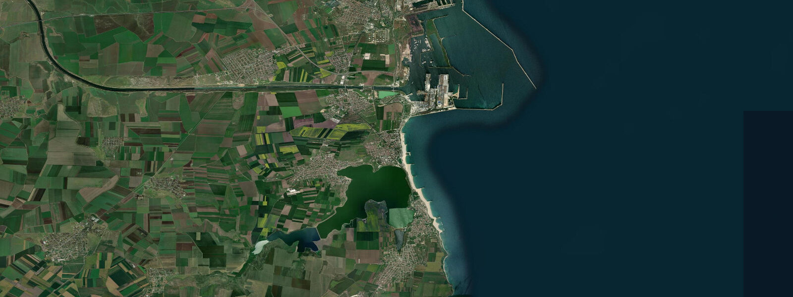
Boat trips from the resort jetty on Lake Siutghiol run during the summer season. Cyclists and walkers following the Black Sea coastal path find Mamaia's northern end the natural starting point for the 20-kilometre route south toward Constanța and Eforie Nord. The astronomical tide at Mamaia is negligible.
The Black Sea's only oceanic connection is the Bosphorus and Dardanelles, and the resulting tidal range at this coast is 5 to 15 centimetres — below the threshold of any practical significance for beach use. There is no meaningful difference in beach width or water depth between 'high' and 'low' here in the tidal sense. What changes water level at Mamaia is weather.
8 metres; a sustained southerly lowers it by a similar margin. These wind-driven setup events are real and can make a visible difference to the beach: after a multi-day Crivăț in October the waterline moves noticeably up the beach, and when the wind dies the beach reappears. Atmospheric pressure variations contribute an additional layer of variation — the inverted barometer effect adds or subtracts a centimetre for each millibar of pressure departure from normal.
None of this is captured by a tide table. The authoritative sea-level data for the Romanian coast is published by NIMR (the National Institute of Marine Research 'Grigore Antipa'), whose Constanța gauge is 10 kilometres south of Mamaia and serves as the regional reference. NIMR's data is available through the European sea-level monitoring network.
Predictions on this page come from Open-Meteo Marine, a gridded global ocean model. 3 metres on height — means the height uncertainty substantially exceeds the actual tidal signal. The predicted 'high' and 'low' values reflect the wind-driven and pressure-driven water-level variation, not a meaningful astronomical cycle.
For any coastal activity that depends on precise water level, use NIMR's real-time gauge data and the synoptic weather forecast rather than the tide table on this page.
Tide questions about Mamaia
Quick answers to the most common questions about tide times, range, and water access at Mamaia.
When is high tide at Mamaia?
The hero block at the top of this page shows the next predicted high at Mamaia in local Eastern European Time (EET/EEST, UTC+2/UTC+3). The astronomical tide range at Mamaia is 5 to 15 centimetres — too small to be practically relevant for beach use, swimming, or any coastal activity. The Black Sea has no meaningful tide: it is a semi-enclosed basin with a narrow oceanic connection through the Bosphorus. What determines water level at the Mamaia beach on any given day is the wind forecast, not the tide table. NIMR (the National Institute of Marine Research 'Grigore Antipa') operates the Constanța gauge 10 km south of Mamaia and is the authoritative sea-level reference for this coast.
Why is there no real tide at Mamaia?
The Black Sea is a semi-enclosed basin. Its only connection to the world ocean is through the narrow Turkish Straits — the Bosphorus and the Dardanelles — which are too constricted to allow a meaningful tidal wave to enter. The result is an astronomical range of 5 to 15 centimetres at Mamaia, which is below any practical threshold. Wind-driven setup is the dominant water-level control: the Crivăț northeasterly, which blows off the Eurasian steppe, can raise water level by 0.5 to 0.8 metres — several times the entire astronomical range. Storm surges during major autumn and winter events are the coastal hazard here, not tides.
When is the best time to swim at Mamaia?
Water temperature is the main seasonal variable. The Black Sea at Mamaia reaches 24 to 26°C in July and August, making those months the warmest for swimming. The shelf is gently sloping and the wave regime generally moderate, so conditions are safe for family swimming throughout the main summer season. The astronomical tide does not affect swimming access here — there is no meaningful low tide that exposes rocks or alters water depth significantly. The wind forecast matters more: calm mornings in summer typically produce the flattest sea state for children.
Where do these predictions come from?
Open-Meteo Marine, a gridded global ocean model; accuracy is typically plus or minus 45 minutes on timing and 0.2 to 0.3 metres on height. At Mamaia, where the astronomical tide is 5 to 15 centimetres, the model height uncertainty exceeds the actual tidal signal. The values shown represent weather-driven and atmospheric water-level variation rather than a meaningful astronomical tide. NIMR (National Institute of Marine Research 'Grigore Antipa') operates the Constanța gauge and is the authoritative source for Black Sea sea-level data in this region.
Is this page safe to use for navigation?
No. For vessel operations along the Romanian Black Sea coast and in the Constanța port approaches, use official Romanian hydrographic charts and maritime data published by the Autoritatea Navală Română (Romanian Naval Authority). The port of Constanța operates under mandatory pilotage for commercial vessels. NIMR (National Institute of Marine Research 'Grigore Antipa') publishes sea-level gauge data for operational reference. Open-Meteo Marine gridded predictions do not replace gauge-calibrated data for navigation and are not authoritative for any vessel operation in Romanian waters.
0-day tide table — Mamaia
Heights relative to MSL. Predictions: Open-Meteo Marine (MeteoFrance SMOC, 0.08° grid) — heights relative to MSL (not chart datum / LAT). Model-derived.
| Day | Type | Time | Height |
|---|