Saint-Leu tide times
Saint-Leu tide forecast — heights relative to MSL.
Today's tide times for Saint-Leu
Tide times at Saint-Leu on Sunday, 21 June 2026: first high tide at 04:00am. Sunrise 06:55am, sunset 05:45pm.
Tide chart for Saint-Leu
24-hour cosine-interpolated curve around the present moment. Heights relative to MSL. Predictions: Predictions: Open-Meteo Marine (MeteoFrance SMOC, 0.08° grid).
Sun, moon and conditions on Sun 21 Jun
Snapshot at build time — refreshes daily. Sea state from Open-Meteo Marine.
Highs and lows next 7 days
Every predicted high and low for the next week, with the daily tidal coefficient (0–120; higher = bigger swing, > 95 means stronger currents).
Other spots nearby
The three closest curated TideTurtle locations to Saint-Leu, measured by great-circle distance.
Today's solunar windows
Solunar tradition: major periods are the ≈3h windows around moon transit and opposition; minor are ≈2h around moonrise and moonset. Pair with the local tide stage and wind for the best read.
About tides at Saint-Leu
A short guide to the coastline at Saint-Leu — geography, sea state, and what the tide is actually doing under your feet.
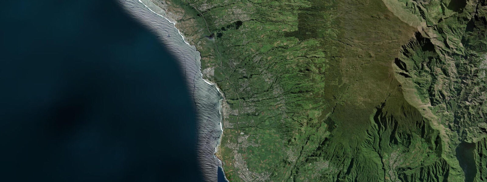
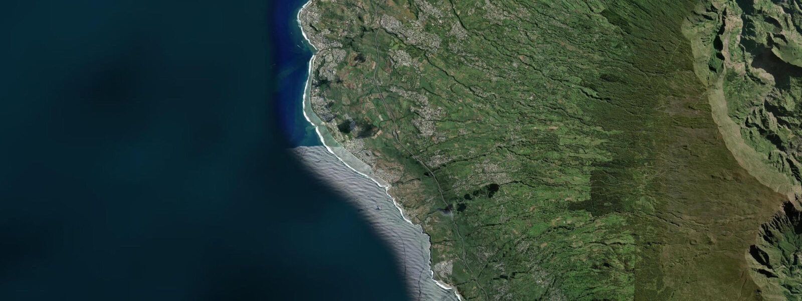
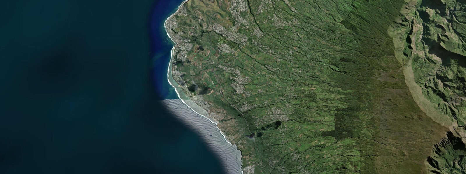
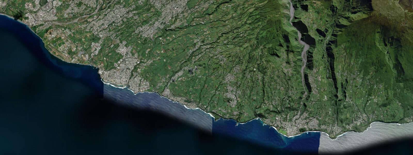
Saint-Leu is a town of approximately 35,000 people on the southwestern coast of Réunion, at the point where the fringing reef system that defines the leeward coast transitions to an exposed, reef-free shoreline. To the north, the lagoon continues to L'Ermitage and Saint-Gilles; to the south, the coast is open ocean, with basalt cliffs, rocky points, and no reef protection. Saint-Leu occupies the hinge between these two coastal characters, and the outer reef crest just offshore at the northern edge of town marks the transition.
The outer reef at Saint-Leu creates one of the most consistently rated surf breaks in the Indian Ocean. The wave breaks on the reef crest in a right-hand direction on southwest to northwest swell — swell windows that reach Saint-Leu's south-facing exposure without attenuation from the island's geography. The break is hollow and fast on the reef crest section closest to the channel; the shoulder runs through to a reform on the inside. World Surf League events have been held here; the wave is technically demanding and is not a beginner break.
The tidal state shifts the break's character and position on the reef. At lower tide — from approximately 30 minutes before low water through the first hour of the flood — the wave breaks on the shallower section of the reef crest, producing a heavier, more critical lip and a more abrupt tube. The reef itself is closer to the surface, which raises both the power of the wave and the consequence of error. At higher tide — from mid-flood through the high water and into the early ebb — the wave softens slightly as the reef is covered by more water, the critical section shifts slightly, and the entry and exit channels are easier to navigate. The difference between low and high tide at Saint-Leu is only 0.9 m on a spring tide, which in ocean-swell terms is a relatively small change; the effect on the break is real but not transformative. The swell period, direction, and height are the dominant variables; the tide adjusts the setting within the range those variables establish.
The rocky points south of the lagoon boundary at Saint-Leu are shore fishing ground for trevally, barracuda, bonefish on the shallower reef sections, and the occasional small reef shark. The incoming tide from the low — flooding the rock ledges and pushing baitfish against the point — is the standard productive window. At spring low the ledge fishing positions at the southern points expose several metres of dry rock above the waterline; at spring high the same ledges are submerged and fishing from them requires care about wave wash.
The Aquarium de La Réunion at Saint-Leu, opened in 2005, is the island's primary marine education and public engagement facility. It holds displays of local reef fish, sharks, rays, and invertebrates found in Réunion's lagoon and open-water habitats, and runs educational programmes for schools. It is the main point of contact for visitors wanting to understand Réunion's marine ecology without entering the water. Operating hours are independent of tidal state.
The southern part of Saint-Leu's coastline, below the reef boundary, is part of the Vigie-Requin monitoring zone. Bull shark (Carcharhinus leucas) movement in this area is monitored by acoustic receivers. The Vigie-Requin daily beach status applies to supervised water-entry points at Saint-Leu as elsewhere on the western coast; check the status before entering the water.
Predictions for Saint-Leu come from Open-Meteo Marine, a gridded global ocean model; accuracy is typically within plus or minus 45 minutes on timing and 0.2 to 0.3 m on height above chart datum. SHOM (Service Hydrographique et Océanographique de la Marine) is the authoritative source for Réunion tide tables. These predictions are not for navigation.
Tide questions about Saint-Leu
Quick answers to the most common questions about tide times, range, and water access at Saint-Leu.
How does the tide affect the surf break at Saint-Leu?
The surf break at Saint-Leu breaks on the outer reef crest, and the tidal state changes the depth of water over the reef, which affects the wave's behaviour. At lower tide — around low water and the early flood — the reef crest is shallower, producing a heavier, more critical wave with less margin between the rider and the reef. At higher tide the reef is covered by an additional 0.5 to 0.9 m (on a spring tide cycle), the wave softens slightly, and the entry and exit channels are easier to read. The practical difference is modest given the 0.9 m spring range — swell size, period, and direction from southwest to northwest are far more important variables than the tide. Most experienced surfers at Saint-Leu prefer mid to upper tide for the slightly more forgiving reef clearance but will surf any tide that matches the swell window. The break is technically demanding at all tide states.
What is the tide range at Saint-Leu?
Spring tidal range at Saint-Leu is approximately 0.9 m; neap range is around 0.4 m. The regime is semidiurnal — two highs and two lows per day. Saint-Leu sits at the southern edge of the fringing reef system, and to the south the coast is fully exposed Indian Ocean without reef protection. The 0.9 m range is relevant primarily for its effect on the surf break (reef depth) and for shore-fishing access to the rocky ledges south of town, which are accessible at low water and partially submerged at high. SHOM (Service Hydrographique et Océanographique de la Marine) is the authoritative source for Réunion tide data; predictions here come from Open-Meteo Marine, accurate to typically plus or minus 45 minutes on timing and 0.2 to 0.3 m on height — at Saint-Leu's 0.9 m range, the uncertainty is a large fraction of the total swing, so treat predictions as approximate tide-phase guidance.
Is there shore fishing at Saint-Leu?
Shore fishing from the rocky points south of the Saint-Leu lagoon boundary is a consistent local activity. Target species include trevally (Caranx spp.), barracuda, and bonefish on the shallow reef sections. The productive window is the incoming tide from low water — the flood covers the rocky ledge fishing positions and concentrates baitfish against the point structure. At spring low the southern points expose 2 to 3 m of dry rock face above the waterline, opening ledge positions that are underwater at high tide. During high water at the southern points, wave wash across the exposed ledges increases, so assess the swell state before committing to a low-water ledge position that will be washed at the next high. Vigie-Requin monitoring applies to the water south of the lagoon; if the beach status is orange or red, stay out of the water.
What is the Aquarium de La Réunion and is it worth visiting?
The Aquarium de La Réunion in Saint-Leu is the island's main public marine facility, opened in 2005 and focused on the marine ecosystems found in Réunion's own waters — reef fish from the lagoon, pelagic species from the open Indian Ocean, sharks, rays, and invertebrates. It is particularly informative for visitors who want context for what they will see (or have seen) in the lagoon at L'Ermitage or Saint-Gilles: the species on display are the ones actually present on the reef, not imported tropical showpieces. The aquarium runs school programmes and is one of the main places on the island where the Vigie-Requin shark monitoring programme and Réunion's shark management approach are explained to the general public. Opening hours vary by season; check the current schedule on the aquarium's website. It is not tide-dependent.
Where do these tide predictions come from?
Tide predictions for Saint-Leu come from Open-Meteo Marine, a free gridded global ocean model. Accuracy is typically within plus or minus 45 minutes on timing and 0.2 to 0.3 m on height above chart datum. At Saint-Leu's spring range of 0.9 m, the height uncertainty of 0.2 to 0.3 m is between 22% and 33% of the total range — the model identifies the approximate timing of high and low water, but the predicted height at any given moment carries significant uncertainty relative to the total swing. For authoritative harmonic tide data for Réunion, consult SHOM (Service Hydrographique et Océanographique de la Marine). For the surf break specifically, use the tide timing as a guide to reef-depth state and adjust based on local knowledge of how the wave behaves at each tide phase.
8-day tide table — Saint-Leu
Heights relative to MSL. Predictions: Open-Meteo Marine (MeteoFrance SMOC, 0.08° grid) — heights relative to MSL (not chart datum / LAT). Model-derived.
| Day | Type | Time | Height |
|---|---|---|---|
| Sun 21 Jun | High | 04:00 | 0.7m |
| Mon 22 Jun | Low | 00:00 | 0.6m |
| Tue 23 Jun | High | 20:50 | 0.7m |
| Wed 24 Jun | — | ||
| Thu 25 Jun | — | ||
| Fri 26 Jun | Low | 05:10 | 0.4m |
| High | 11:50 | 0.6m | |
| Sat 27 Jun | Low | 05:42 | 0.3m |
| High | 23:00 | 0.7m | |
| Sun 28 Jun | Low | 03:00 | 0.5m |