Grand Brûlé tide times
Grand Brûlé tide forecast — heights relative to MSL.
Today's tide times for Grand Brûlé
Tide times at Grand Brûlé on Saturday, 4 July 2026: first high tide at 04:00am, first low tide at 08:40am. Sunrise 06:54am, sunset 05:47pm.
Tide chart for Grand Brûlé
24-hour cosine-interpolated curve around the present moment. Heights relative to MSL. Predictions: Predictions: Open-Meteo Marine (MeteoFrance SMOC, 0.08° grid).
Sun, moon and conditions on Sat 04 Jul
Snapshot at build time — refreshes daily. Sea state from Open-Meteo Marine.
Highs and lows next 7 days
Every predicted high and low for the next week, with the daily tidal coefficient (0–120; higher = bigger swing, > 95 means stronger currents).
Other spots nearby
The three closest curated TideTurtle locations to Grand Brûlé, measured by great-circle distance.
Today's solunar windows
Solunar tradition: major periods are the ≈3h windows around moon transit and opposition; minor are ≈2h around moonrise and moonset. Pair with the local tide stage and wind for the best read.
Cycle dates near Grand Brûlé
Last spring tide on Sat 04 Jul (range 0.6m). Next neap on Thu 09 Jul.
Spring tides cluster around new and full moons (biggest swings). Neap tides land on quarter moons (smallest swings). See the spring tide and neap tide glossary entries for the why.
About tides at Grand Brûlé
A short guide to the coastline at Grand Brûlé — geography, sea state, and what the tide is actually doing under your feet.
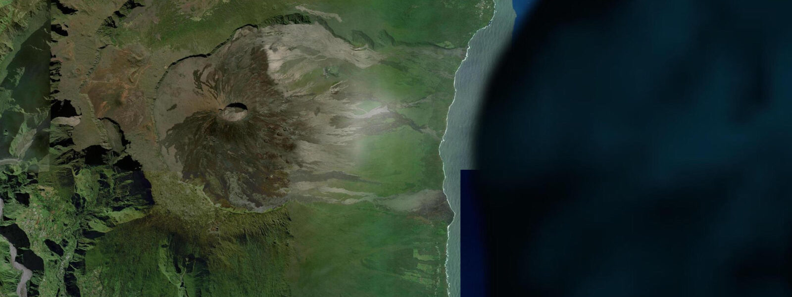
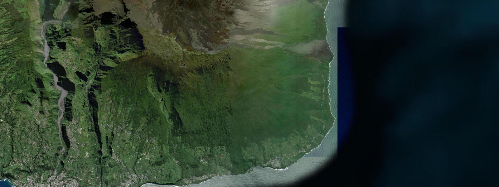
Grand Brûlé is the coastal terminus of Piton de la Fournaise's active lava flows — the place where Réunion's youngest geology meets the Indian Ocean. The name means 'the great burn', and it accurately describes a coastline formed by eruptions that have continued into the 21st century with regularity. This is the eastern edge of the enclos — the area within the volcano's ancient caldera walls where most eruptions are confined — and when Piton de la Fournaise erupts, the flows travel northeast down the Grandes Pentes and reach the sea here.
The spectacle of lava entering the ocean — a process called a lava delta — is one of the most dramatic natural events visible on Earth during an active eruption. When active, the interaction of 1,200°C molten rock and cold seawater creates massive steam plumes, explosions of spatter, and a constant roar audible from the observation road above. The viewing point at Piton Tremblet offers the safest observation position during active flows; the coast itself is off-limits during eruptions due to lava delta collapse risk and toxic volcanic gases (laze — lava haze, a mixture of hydrochloric acid and fine glass particles released when lava contacts seawater).
Between eruptions, Grand Brûlé is a coastal landscape of extraordinary starkness and geological youth. The most recent flows have formed black lava cliffs dropping directly to the sea with no beach, no platform, and no landing place — the Indian Ocean simply runs against the raw rock face. Older flows at the northern and southern margins have eroded slightly and a few tiny pockets of black volcanic sand have collected in sheltered clefts in the cliff line. There is no swimming here and no practical water access on most of this section of coast.
Tides follow Réunion's standard semi-diurnal pattern with spring ranges of 0.6-1.0 m. Southern Ocean swell impacts this coast directly; the lava cliff face takes the full energy of swells that have crossed the southern Indian Ocean unimpeded. The sea at Grand Brûlé is the most forceful-looking water on Réunion on a big swell day — waves striking the black cliffs and sending spray 10-15 m into the air in white columns visible from the road above.
The Route Nationale 2, which passes through the Grand Brûlé zone along the coast, is regularly closed during eruptions and has been damaged or buried by flows on multiple occasions in the past twenty years. The zone is monitored continuously by the Observatoire Volcanologique du Piton de la Fournaise; real-time alert status is publicly available on their website and updated during active events. The drive through Grand Brûlé on a clear day between eruptions, with lava fields extending to the sea on one side and the open Indian Ocean on the other, is one of the most surreal road experiences in the entire tropical world — a place where the distinction between very old and very new loses its normal meaning.
The geological time compressed into the Grand Brûlé landscape is remarkable. The oldest visible flows in the zone are perhaps a few hundred years old; the newest are sometimes a few months old. The same process — magma rising from the mantle, flowing to the sea, and adding new land — has been running continuously since Réunion emerged from the Indian Ocean floor about 3 million years ago. The island's entire eastern coast is built from this same process, repeated thousands of times. Grand Brûlé is just the current active edge of an island that is still building itself. The silence between wave sets at Grand Brûlé — when the ocean is momentarily calm before the next swell arrives — is one of the more striking sensory moments on the south coast, a contrast that emphasises the energy of the impact when the swell does break against the lava.
Tide questions about Grand Brûlé
Quick answers to the most common questions about tide times, range, and water access at Grand Brûlé.
Is Grand Brûlé accessible to visit?
Grand Brûlé is accessible between eruptions via Route Nationale 2, which passes through the lava zone along the eastern coast. During eruptions, the road is closed and the area around the active flow is prohibited for safety reasons — lava delta collapse, explosive steam eruptions, and laze (toxic gas cloud from lava meeting seawater) are all genuine hazards. Check current volcanic alert status from the Observatoire Volcanologique du Piton de la Fournaise before planning a visit. When open, driving through the zone is permitted and viewing areas above the coast are accessible. The drive takes approximately 30-45 minutes from Saint-Philippe to the north end of the zone. Guided tours from Saint-Denis and other Réunion bases regularly include Grand Brûlé as a half-day excursion.
Can I see an active lava flow entering the sea at Grand Brûlé?
Piton de la Fournaise erupts frequently — over 100 eruptions in the past 50 years, including multiple events in most years. The chance of an active flow during any given visit is lower than it sounds, since many eruptions stay within the upper enclos and don't reach the coast. When flows do reach Grand Brûlé, the viewing platform at Piton Tremblet above the zone is the official observation point. The spectacle is unlike anything else — molten rock at 1,200°C meeting the Indian Ocean, steam plumes visible from kilometres away. The official area is maintained at a safe distance from the laze hazard zone. Mobile alert systems and the observatory website provide real-time eruption updates; the Réunion tourist board posts current status during active events.
What are tides like at Grand Brûlé?
Grand Brûlé follows Réunion's semi-diurnal tidal pattern with a modest spring range of 0.6-1.0 m. As with Saint-Philippe, the tidal signal here is secondary to the swell and wave environment — Southern Ocean swell arriving against lava cliffs generates far larger water-level variation at the cliff face than the tide itself. There are no beaches or landing points in the active flow zone where tide becomes practically relevant for visitors. On the quieter northern end of the zone, where older lava has formed lower coastal platforms, low tide exposes more rocky bench area accessible for observation. Open-Meteo gridded predictions (±45 min, ±0.3 m). Wave forecast data is more operationally important than tide data for anyone considering proximity to the coast here.
What wildlife exists at Grand Brûlé?
The active lava zone itself is biologically barren on recent flows — pioneer plants colonise within years to decades on the cooling basalt, but brand-new flows support almost nothing. The ecological interest increases on the older flows at the margins of the zone where full tropical rainforest has re-established. Réunion's endemic bird species (Réunion bulbul, Réunion harrier, Réunion olive white-eye) are present in the forest behind the coastal zone. The sea off Grand Brûlé is Indian Ocean water — green turtles are present and occasionally visible from the cliff tops. Flying fish are sometimes seen in the wave spray zone at the cliff base. The stark contrast between the barren lava and the lush vegetation at the flow margins is itself an ecological spectacle: succession from bare rock to closed forest visible in a single short walk.
How does Grand Brûlé fit into a broader Réunion itinerary?
Grand Brûlé is best combined with the Plaine des Sables and Piton de la Fournaise volcano hike — the same road system that accesses the coastal zone also provides access to the summit trail via the high plateau. A full-day itinerary: drive the volcano road to the summit trailhead in the morning, hike to the outer caldera rim (2-3 hours), descend, then drive down the eastern flank through the Grandes Pentes to Grand Brûlé in the afternoon. The Route Nationale 2 coastal drive north from Grand Brûlé toward Saint-Benoît gives a final perspective on the scale of the flow fields from sea level. Check volcanic alert status before finalising — if the summit area is in alert level 4, the coastal viewpoint at Piton Tremblet may be the accessible alternative for the day.
8-day tide table — Grand Brûlé
Heights relative to MSL. Predictions: Open-Meteo Marine (MeteoFrance SMOC, 0.08° grid) — heights relative to MSL (not chart datum / LAT). Model-derived.
| Day | Type | Time | Height |
|---|---|---|---|
| Sat 04 Jul | High | 04:00 | 0.8m |
| Low | 08:40 | 0.3m | |
| Sun 05 Jul | High | 02:40 | 0.9m |
| Low | 09:12 | 0.3m | |
| Mon 06 Jul | High | 03:18 | 0.8m |
| Low | 09:50 | 0.4m | |
| High | 16:10 | 0.8m | |
| Low | 22:18 | 0.5m | |
| Tue 07 Jul | — | ||
| Wed 08 Jul | High | 18:15 | 0.8m |
| Thu 09 Jul | Low | 00:50 | 0.5m |
| High | 07:00 | 0.7m | |
| Low | 12:50 | 0.6m | |
| Fri 10 Jul | High | 09:00 | 0.8m |
| Low | 14:10 | 0.6m | |
| High | 21:00 | 0.9m | |
| Sat 11 Jul | Low | 03:00 | 0.5m |