Grand Bois tide times
Grand Bois tide forecast — heights relative to MSL.
Today's tide times for Grand Bois
Tide times at Grand Bois on Saturday, 4 July 2026: first high tide at 04:00am, first low tide at 08:38am. Sunrise 06:56am, sunset 05:48pm.
Tide chart for Grand Bois
24-hour cosine-interpolated curve around the present moment. Heights relative to MSL. Predictions: Predictions: Open-Meteo Marine (MeteoFrance SMOC, 0.08° grid).
Sun, moon and conditions on Sat 04 Jul
Snapshot at build time — refreshes daily. Sea state from Open-Meteo Marine.
Highs and lows next 7 days
Every predicted high and low for the next week, with the daily tidal coefficient (0–120; higher = bigger swing, > 95 means stronger currents).
Other spots nearby
The three closest curated TideTurtle locations to Grand Bois, measured by great-circle distance.
Today's solunar windows
Solunar tradition: major periods are the ≈3h windows around moon transit and opposition; minor are ≈2h around moonrise and moonset. Pair with the local tide stage and wind for the best read.
Cycle dates near Grand Bois
Last spring tide on Sat 04 Jul (range 0.5m). Next neap on Tue 07 Jul.
Spring tides cluster around new and full moons (biggest swings). Neap tides land on quarter moons (smallest swings). See the spring tide and neap tide glossary entries for the why.
About tides at Grand Bois
A short guide to the coastline at Grand Bois — geography, sea state, and what the tide is actually doing under your feet.
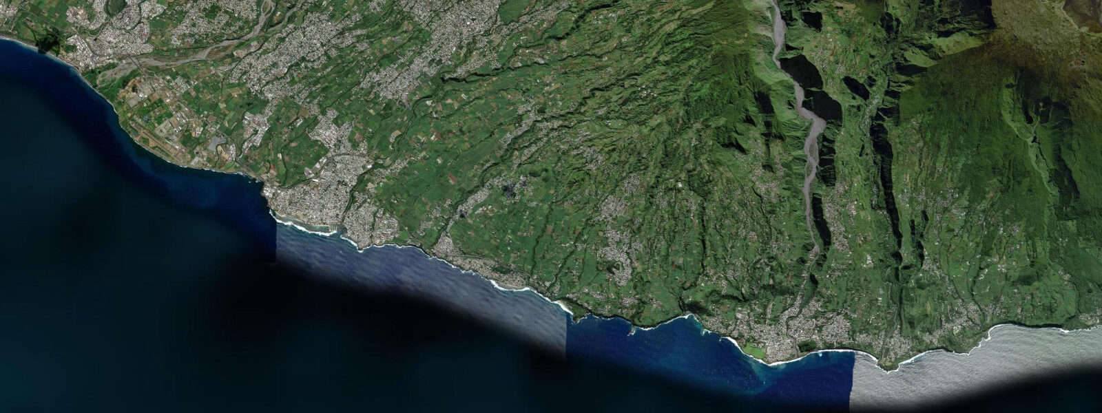
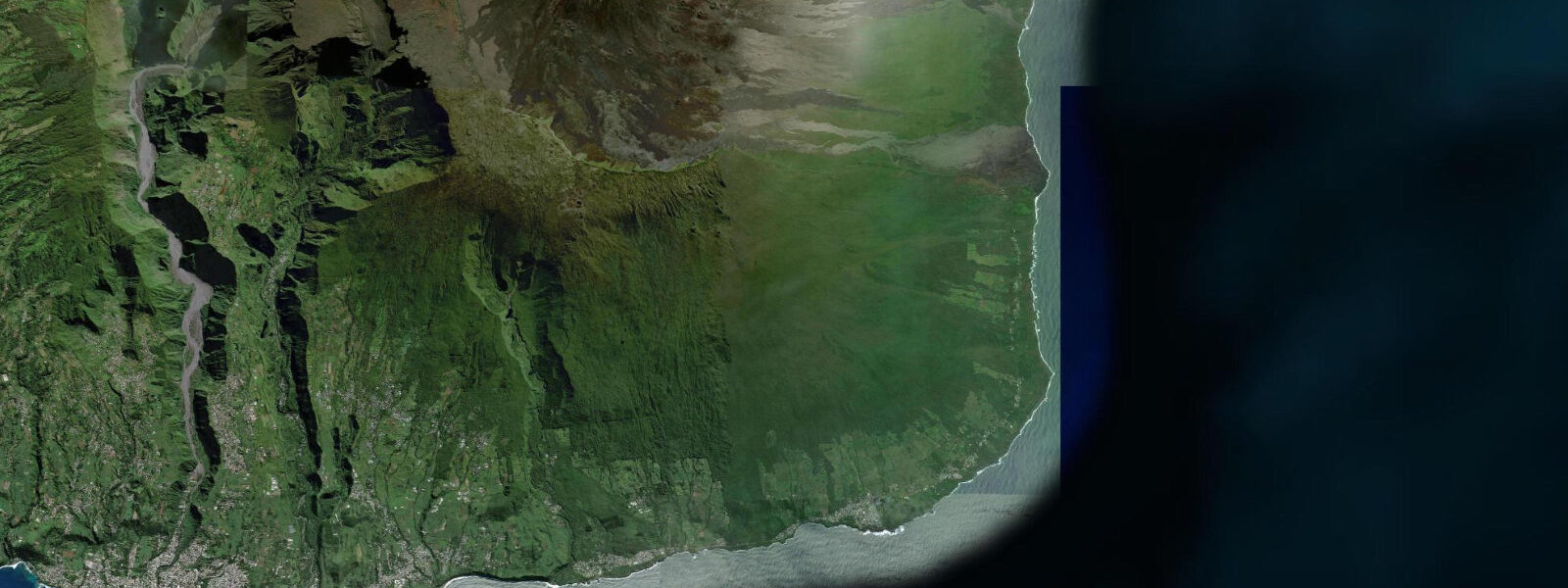
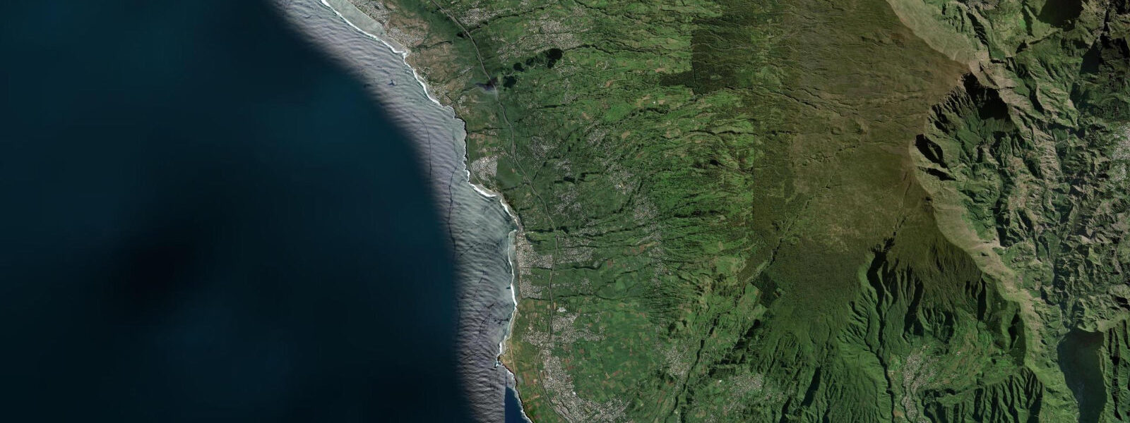
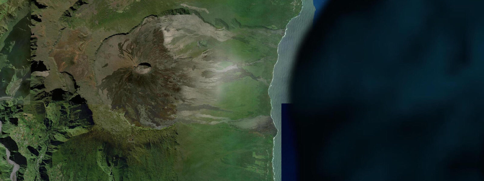
Grand Bois is a coastal village on Réunion's south coast, in the commune of Saint-Pierre, where the island's volcanic landscape meets the Indian Ocean without the reef barrier that protects the west coast from Saint-Gilles to Saint-Leu. The south coast of Réunion is geologically younger and more exposed than the west: lava flows from Piton de la Fournaise have reached the sea here on several occasions in recent decades, creating new coastal formations and extending the land into the ocean. The black volcanic rock and occasional red oxidised flow surfaces are the characteristic coastal geology of this southern section.
Saint-Pierre, the main town of Réunion's south coast 5 km west of Grand Bois, is the island's second urban centre: a seafront promenade on a black-sand and shingle beach, a marina (Port de Saint-Pierre) with berthing for pleasure craft and the occasional inter-island connection, and a Saturday morning market that is one of the most visited in Réunion. The market sells tropical produce — lychees, vanilla, pineapple, chouchou (chayote), palm heart — alongside local prepared foods. The seafront at Saint-Pierre is pleasant in the evening; the black sand beach is the accessible swimming option for the south coast.
Grand Bois beach is a black volcanic sand beach used primarily by locals from the southern communes. The exposure is to the south and southeast, into the direct Indian Ocean fetch without reef interruption, and the wave regime here is more energetic than the west coast lagoon. The beach is not lifeguarded; swimming is best in calm conditions when swell is below 1 m. The lava rock headlands on each side of the beach offer good rock platform access at low water — urchins, crabs, and small reef fish in the lava pools.
The south coast is beyond the main tourist infrastructure of Réunion, which concentrates on the west coast. This makes it a local coast: fewer visitors, less organised beach infrastructure, and a more direct experience of the volcanic landscape that is Réunion's geological reality. The road south from Saint-Pierre through Saint-Joseph and around the Piton de la Fournaise lava zone to the eastern Côte Sauvage (wild coast) is one of the more dramatic coastal drives in the southern Indian Ocean region.
The Indian Ocean tidal regime at Grand Bois is mixed semidiurnal: mean spring range 0.8 to 1.2 m. The south coast sees the full Indian Ocean swell exposure; even on calm days a 1 to 1.5 m southerly swell runs along this coast. Rock platform access at low water requires calm sea conditions — the combination of a low tide and 2+ m swell makes the rock platforms genuinely dangerous. Tidal planning for rock activities here requires both the tide prediction and the swell forecast from Météo-France La Réunion.
Predictions on this page come from Open-Meteo Marine, a gridded global ocean model. Accuracy is typically within plus or minus 45 minutes on timing and 0.2 to 0.3 m on height — at Grand Bois's 0.8 to 1.2 m spring range, the height uncertainty is 20 to 30 percent of the total signal. SHOM publishes the authoritative harmonic tide tables for Réunion; the nearest reference station is Saint-Pierre.
Tide questions about Grand Bois
Quick answers to the most common questions about tide times, range, and water access at Grand Bois.
When is the next high tide at Grand Bois?
The hero block at the top of this page shows the next predicted high at Grand Bois in local Réunion Time (RET, UTC+4). Grand Bois has an Indian Ocean mixed semidiurnal tide with a spring range of 0.8 to 1.2 m. The south coast has full Indian Ocean swell exposure — the swell forecast from Météo-France La Réunion is as relevant as the tide prediction for planning any rock platform or beach activity here. SHOM publishes the authoritative tide tables for Réunion; the Saint-Pierre gauge is the nearest reference.
What is the tidal range at Grand Bois?
Mean spring range at Grand Bois is 0.8 to 1.2 m. The south coast has no reef protection, so the full Indian Ocean swell arrives directly. Neap range compresses to 0.3 to 0.5 m. Rock platform activities at low water require both a low tide and calm swell conditions — a low tide combined with a 2 m or larger southerly swell creates dangerous wave surge on the lava platforms. Both the tide table and the Météo-France swell forecast must be consulted before any rock access here.
Where do these tide predictions come from?
Open-Meteo Marine, a free gridded global ocean model. At Grand Bois's 0.8 to 1.2 m spring range, the model's typical accuracy (plus or minus 45 minutes, 0.2 to 0.3 m) is 20 to 30 percent of the total signal. For authoritative Réunion tide data, SHOM publishes harmonic predictions; the Saint-Pierre gauge provides the reference for the south coast. Météo-France La Réunion publishes the swell forecasts, cyclone bulletins, and coastal weather information for the island.
Is the south coast safe for swimming?
Grand Bois and the south coast of Réunion are swimming environments for confident swimmers in calm conditions. There are no lifeguards, no reef protection, and the Indian Ocean swell runs along this coast even on apparently calm days. The beach at Grand Bois is best swum when the swell is below 1 m from the south — check the Météo-France swell forecast before entering. The water temperature is 23 to 26°C in summer. Saint-Pierre's town beach 5 km west has a slightly more sheltered aspect and the beach infrastructure (café, parking) that Grand Bois lacks. For guaranteed safe family swimming, the west coast lagoon beaches between Saint-Gilles and Saint-Leu are the standard recommendation.
Is this safe to use for navigation?
No. TideTurtle is a planning tool for recreational coastal activity, not a navigation resource. The south coast of Réunion has no natural harbour between Saint-Pierre and Saint-Joseph; the coast is rocky and exposed. For navigation, use SHOM charts for Réunion and the meteorological bulletins from Météo-France La Réunion. Cyclone season warnings and swell bulletins are critical planning inputs for coastal navigation on this exposed coast. Open-Meteo Marine gridded predictions do not replace authoritative navigation sources.
8-day tide table — Grand Bois
Heights relative to MSL. Predictions: Open-Meteo Marine (MeteoFrance SMOC, 0.08° grid) — heights relative to MSL (not chart datum / LAT). Model-derived.
| Day | Type | Time | Height |
|---|---|---|---|
| Sat 04 Jul | High | 04:00 | 0.7m |
| Low | 08:38 | 0.3m | |
| Sun 05 Jul | High | 02:40 | 0.9m |
| Low | 09:18 | 0.4m | |
| Mon 06 Jul | High | 03:10 | 0.8m |
| Low | 09:45 | 0.4m | |
| High | 16:15 | 0.8m | |
| Low | 22:15 | 0.5m | |
| Tue 07 Jul | High | 17:06 | 0.8m |
| Low | 23:15 | 0.5m | |
| Wed 08 Jul | High | 18:15 | 0.8m |
| Thu 09 Jul | Low | 00:50 | 0.5m |
| High | 19:50 | 0.8m | |
| Fri 10 Jul | Low | 14:10 | 0.6m |
| High | 21:00 | 0.9m | |
| Sat 11 Jul | Low | 03:00 | 0.5m |