Zekreet Peninsula tide times
Zekreet Peninsula tide forecast — heights relative to MSL.
Today's tide times for Zekreet Peninsula
Tide times at Zekreet Peninsula on Saturday, 4 July 2026: first high tide at 03:00am, first low tide at 05:50am, second high tide at 11:16pm. Sunrise 04:50am, sunset 06:31pm.
Tide chart for Zekreet Peninsula
24-hour cosine-interpolated curve around the present moment. Heights relative to MSL. Predictions: Predictions: Open-Meteo Marine (MeteoFrance SMOC, 0.08° grid).
Sun, moon and conditions on Sat 04 Jul
Snapshot at build time — refreshes daily. Sea state from Open-Meteo Marine.
Highs and lows next 7 days
Every predicted high and low for the next week, with the daily tidal coefficient (0–120; higher = bigger swing, > 95 means stronger currents).
Other spots nearby
The three closest curated TideTurtle locations to Zekreet Peninsula, measured by great-circle distance.
Today's solunar windows
Solunar tradition: major periods are the ≈3h windows around moon transit and opposition; minor are ≈2h around moonrise and moonset. Pair with the local tide stage and wind for the best read.
Cycle dates near Zekreet Peninsula
Next spring tide on Sun 05 Jul (range 1.3m). Next neap on Thu 09 Jul.
Spring tides cluster around new and full moons (biggest swings). Neap tides land on quarter moons (smallest swings). See the spring tide and neap tide glossary entries for the why.
About tides at Zekreet Peninsula
A short guide to the coastline at Zekreet Peninsula — geography, sea state, and what the tide is actually doing under your feet.
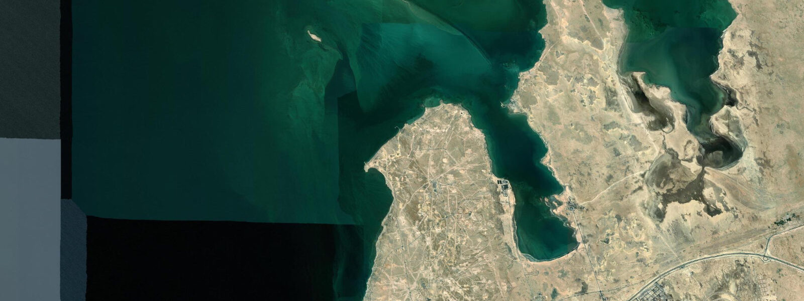
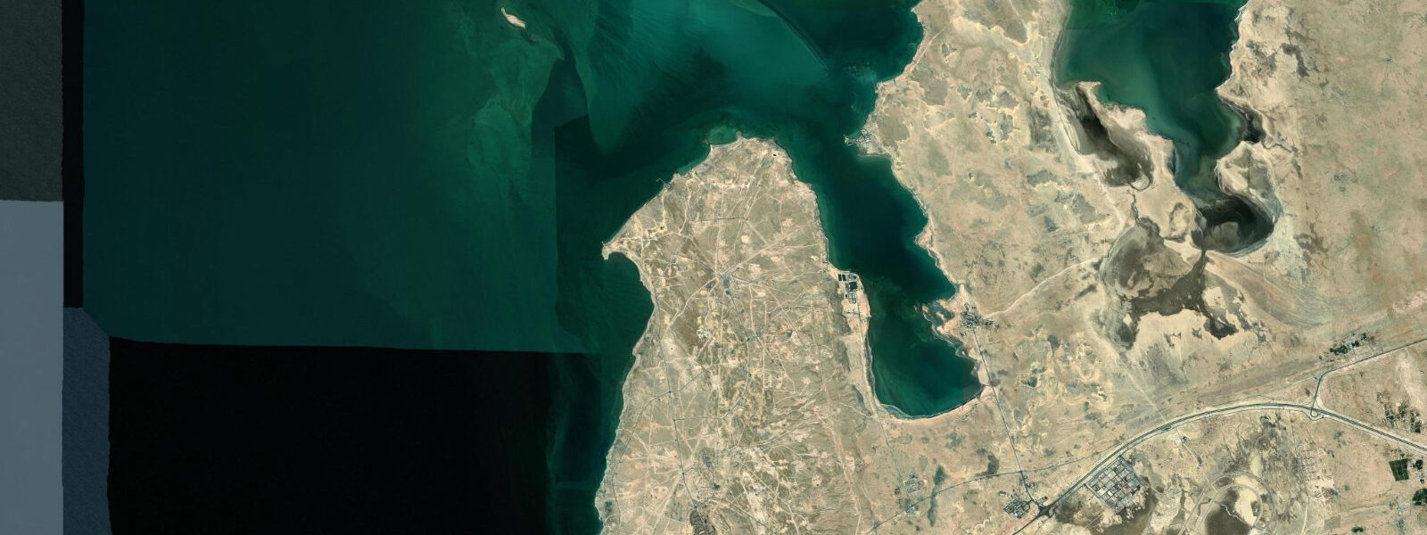
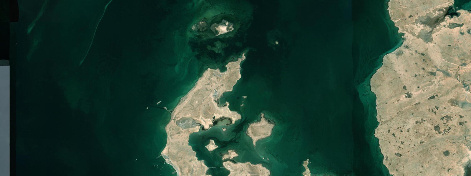
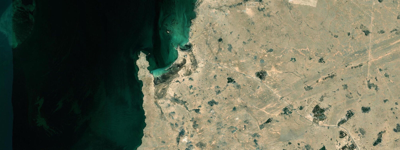
Zekreet Peninsula is a rocky limestone headland on Qatar's west coast, roughly 80 kilometres northwest of Doha. The peninsula juts into the Persian Gulf at a latitude where the coast transitions from the mangrove-backed tidal flats of the south Qatar coast to the more exposed limestone platform of the northwest. The most distinctive visual feature is the Abu al-Maadeed sea stack — a 30-metre limestone pillar standing isolated on the tidal flat offshore, separated from the mainland cliff face by erosion over millennia. A second notable landmark is the "Edge of the World" escarpment nearby, a 20-metre vertical limestone cliff dropping straight to the Gulf.
The geological story at Zekreet is Eocene-era limestone, deposited when the Persian Gulf was a shallow tropical sea. The sea stacks and eroded platforms are what remain after differential erosion removed the softer layers, leaving harder limestone formations standing. The flat tidal platform between the stacks and the shore is covered at high tide and exposed at low tide, creating a natural photo window that requires tide timing.
Tide predictions for Zekreet use Open-Meteo Marine's global model. Timing accuracy ±45 minutes, height accuracy ±0.2 to 0.3 metres. Mixed semidiurnal tides with spring range of 1.5 to 2.5 metres. The tidal flat around the Abu al-Maadeed stack is the key timing variable: at high water, the stack is isolated in 1.5 to 2.0 metres of water; at low water on a spring tide, the flat may expose enough to allow a walk from the cliffbase to within 50 metres of the stack. The precise exposure distance depends on the actual tidal prediction for the day.
For photographers, the best composition of the sea stack uses early morning light from the east — the stack faces roughly southeast and catches the rising sun's low-angle illumination. High spring low tide gives maximum foreground flat exposure; the window of best exposure is approximately 2 hours either side of the low. The "desert meets sea" quality of the Zekreet coast — flat ochre limestone, Persian Gulf blue, no vegetation — is a distinctive visual register.
For paddlers and kayakers, the flat water inside the headland is navigable at mid-tide and above. The paddle from the beach to the sea stack is approximately 800 metres; landing at the stack is possible on the exposed flat at low water. Strong northwest shamal wind creates chop on the western face of the peninsula; the lee side is calmer. Check wind before launching — the Zekreet coast is exposed to the full Gulf fetch from the northwest.
Birds on the Zekreet tidal flat include flamingos (common in winter at low tide), Socotra cormorants flying past in feeding flocks, and migrant waders on passage in September through November. The limestone cliff faces are used as roosting sites by various raptors including osprey.
The desert immediately behind the Zekreet coastline has been used as a film location for production requiring an otherworldly desert-meets-sea landscape. A permanent "village" film set constructed near Zekreet for television production is visible on the approach from the main road; the contrast between the fake architectural props and the genuine geological formations a few kilometres further on is striking.
The geological age of the Zekreet limestone is Eocene, deposited 50 to 55 million years ago when the area was a shallow tropical sea. The fossils embedded in the limestone — nummulitid foraminifera and occasional larger shell fragments — are visible in the cliff face sections where fresh erosion has cut through the rock. The rounded, lens-shaped nummulite fossils (some as large as 2 centimetres in diameter) are ubiquitous in the Eocene limestone that forms most of the Qatar peninsula.
For the kayaker, the calm water inside the headland's lee provides a safe base for exploring the cliff base. Caves and overhangs are accessible from the water at mid-tide; the low-tide period exposes rock ledges that can be used for landing and rest stops. The tidal current runs at 0.2 to 0.5 knots along the coast in tidal phase; the flood current runs northeast and assists the eastward paddle toward the sea stack from the beach landing area. The current reverses on the ebb.
Tide questions about Zekreet Peninsula
Quick answers to the most common questions about tide times, range, and water access at Zekreet Peninsula.
What is the tidal range at Zekreet?
Zekreet is on Qatar's west coast facing the central Persian Gulf. Mixed semidiurnal tides with significant diurnal inequality; spring range approximately 1.5 to 2.5 metres. The tidal platform around the Abu al-Maadeed sea stack becomes partially walkable at low water on spring tides — the 1.5 to 2.0 metre drop exposes significant flat. Tide data uses Open-Meteo Marine's global model, with ±45 minutes timing accuracy and ±0.2 to 0.3 metres height accuracy. Use the tidal prediction here to plan the sea stack photography window; add a 30-minute buffer to the predicted low to account for model uncertainty.
What is the sea stack at Zekreet?
The Abu al-Maadeed sea stack is an isolated limestone pillar approximately 30 metres tall standing on the tidal flat off the Zekreet Peninsula. It is the eroded remnant of the coastal limestone platform, left standing after softer surrounding rock was removed by wave action and dissolution over geological time. The stack is separated from the mainland cliff by roughly 200 to 400 metres of tidal flat. At high tide the stack is surrounded by water; at low spring tide the flat is exposed enough to approach by foot. The stack is the most photographed geological feature on the Qatar coast.
How do I get to Zekreet from Doha?
Zekreet is approximately 80 kilometres northwest of Doha, accessible by the main Al Shamal Road heading north and then turning west toward the coast. The journey takes 60 to 75 minutes. A 4WD is recommended for the final approach to the coastal area, which involves sandy tracks. The drive passes through uninhabited industrial and desert zones. A film set for television production has been built near Zekreet and is occasionally visible from the approach track. There are no facilities at the peninsula itself — carry water, food, and shade. Navigation by GPS is the reliable approach; the coastal tracks are not always marked on standard maps.
When is the best time to photograph the Zekreet sea stack?
The optimal photography window combines early morning light with a low spring tide. The sea stack faces roughly southeast, receiving low-angle illumination from sunrise until approximately 08:00 to 09:00. A spring low tide in the morning hours exposes the tidal flat and gives the greatest foreground interest — the reflection pools and ripple patterns on the exposed sand create a clean compositional base. Check the tide table and target days when the low tide falls between 06:00 and 09:00. The spring tidal cycle repeats on a roughly 14-day interval. Winter months (November through February) give the most comfortable conditions for the early morning shoot.
Are there other geological features worth seeing at Zekreet?
The "Edge of the World" escarpment near Zekreet is a 15 to 20 metre vertical limestone cliff that drops directly to the Gulf — no beach, no transition zone, just platform edge and water. This is one of the few places on the Qatar coast where the limestone plateau terminates abruptly at sea level rather than grading through a beach. The area also has scattered mushroom-shaped erosional pedestal rocks on the flat platform behind the cliff edge — isolated blocks balanced on narrower bases, a product of differential erosion on the wind-polished limestone surface. A 4WD track follows the cliff edge; the drive along the escarpment is accessible to anyone with appropriate vehicle and weather conditions.
8-day tide table — Zekreet Peninsula
Heights relative to MSL. Predictions: Open-Meteo Marine (MeteoFrance SMOC, 0.08° grid) — heights relative to MSL (not chart datum / LAT). Model-derived.
| Day | Type | Time | Height |
|---|---|---|---|
| Sat 04 Jul | High | 03:00 | 0.1m |
| Low | 05:50 | -0.3m | |
| High | 23:16 | 0.9m | |
| Sun 05 Jul | Low | 06:23 | -0.3m |
| High | 12:55 | 1.0m | |
| Low | 19:12 | 0.2m | |
| High | 23:51 | 0.8m | |
| Mon 06 Jul | Low | 06:51 | -0.4m |
| Tue 07 Jul | High | 00:36 | 0.7m |
| Low | 07:21 | -0.3m | |
| High | 14:00 | 0.8m | |
| Wed 08 Jul | Low | 07:47 | -0.1m |
| High | 14:35 | 0.9m | |
| Low | 21:21 | 0.0m | |
| Thu 09 Jul | High | 02:45 | 0.6m |
| Low | 08:40 | 0.1m | |
| High | 15:07 | 0.9m | |
| Low | 22:22 | -0.0m | |
| Fri 10 Jul | High | 04:04 | 0.6m |
| Low | 10:00 | 0.2m | |
| High | 15:55 | 0.7m | |
| Low | 23:35 | -0.2m | |
| Sat 11 Jul | High | 02:00 | 0.1m |