Quebradillas, Puerto Rico tide times
Quebradillas, Puerto Rico tide forecast — heights relative to MSL.
Today's tide times for Quebradillas, Puerto Rico
Tide times at Quebradillas, Puerto Rico on Saturday, 4 July 2026: first low tide at 05:45am, first high tide at 11:10am, second low tide at 04:45pm. Sunrise 05:55am, sunset 07:08pm.
Tide chart for Quebradillas, Puerto Rico
24-hour cosine-interpolated curve around the present moment. Heights relative to MSL. Predictions: Predictions: Open-Meteo Marine (MeteoFrance SMOC, 0.08° grid).
Sun, moon and conditions on Sat 04 Jul
Snapshot at build time — refreshes daily. Sea state from Open-Meteo Marine.
Highs and lows next 7 days
Every predicted high and low for the next week, with the daily tidal coefficient (0–120; higher = bigger swing, > 95 means stronger currents).
Other spots nearby
The three closest curated TideTurtle locations to Quebradillas, Puerto Rico, measured by great-circle distance.
Today's solunar windows
Solunar tradition: major periods are the ≈3h windows around moon transit and opposition; minor are ≈2h around moonrise and moonset. Pair with the local tide stage and wind for the best read.
Cycle dates near Quebradillas, Puerto Rico
Next spring tide on Tue 07 Jul (range 0.5m). Next neap on Sat 04 Jul.
Spring tides cluster around new and full moons (biggest swings). Neap tides land on quarter moons (smallest swings). See the spring tide and neap tide glossary entries for the why.
About tides at Quebradillas, Puerto Rico
A short guide to the coastline at Quebradillas, Puerto Rico — geography, sea state, and what the tide is actually doing under your feet.
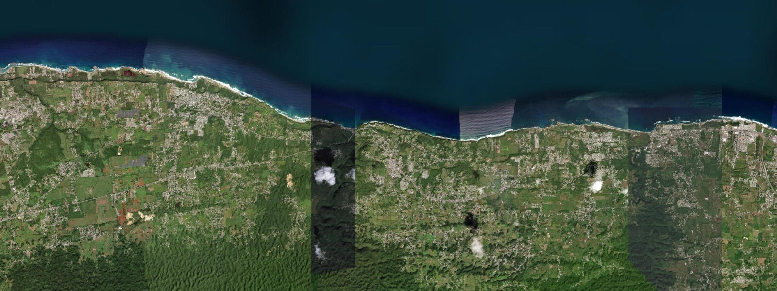
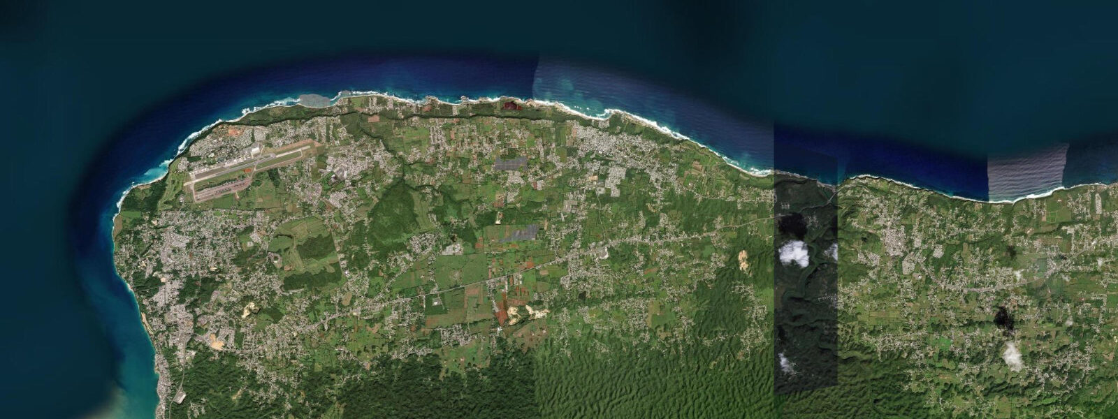
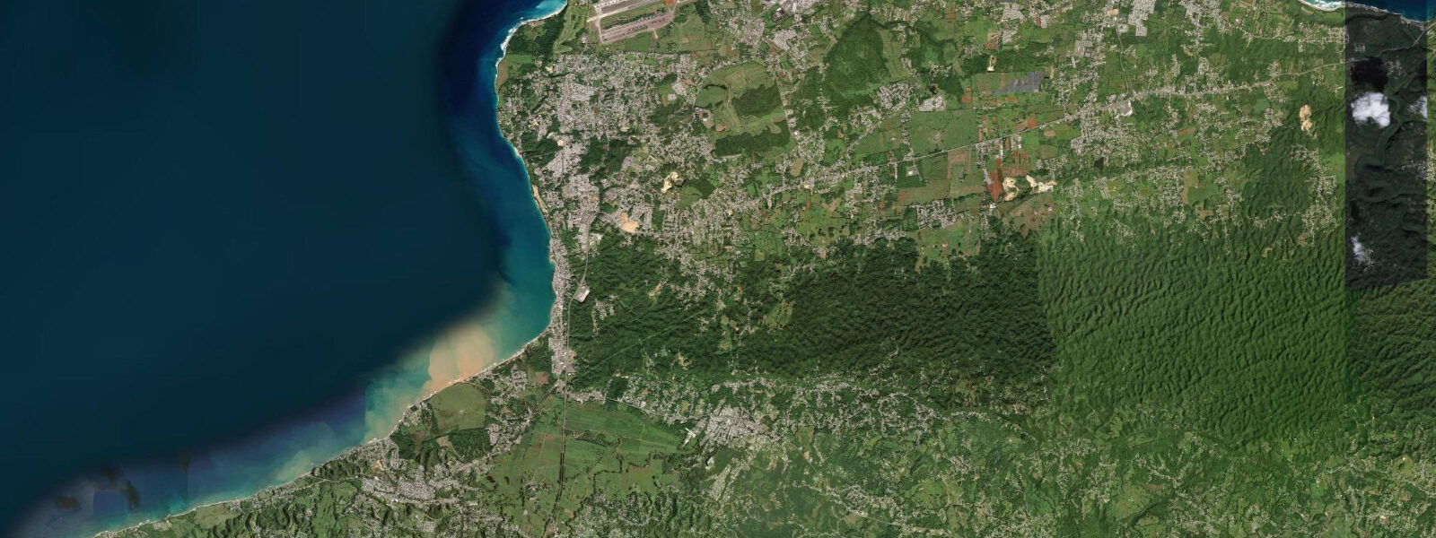
Quebradillas is a small municipality on Puerto Rico's northwest coast, east of Isabela, where the karst terrain that defines this stretch reaches the Atlantic in a series of dramatic sea cliffs and two distinctive beaches in an enclosed bay: Playa Guajataca and the smaller, more sheltered Playa Jobos del Guajataca. The Guajataca Tunnel — a disused railroad tunnel from the early twentieth century cut through the limestone cliff — opens directly onto the beach and is the most photographed landmark in the area. The tunnel is approximately 220 metres long, straight, and passable on foot.
The coastline at Quebradillas is exposed to the Atlantic north swell and the northeast trade wind with few mitigating offshore features. The tidal regime is mixed semidiurnal and microtidal: spring range typically 0.3 to 0.5 metres. The small tidal variation is less relevant to daily planning than the swell state; the north swell from winter Atlantic storms can push the shore break well up the beach face beyond the predicted high-water mark. The spring tide itself shifts the base water level by 0.5 metres at most.
Playa Guajataca is the principal beach, a crescent of white sand backed by the karst bluffs and the PR-2 highway above. The beach faces north and catches swell directly. On calm summer days the water is clear and swimmable; on north swell days in winter the shore break creates a dumping wave that is not suitable for casual swimming but attracts bodyboarders and experienced swimmers who understand the break. There is no lifeguard service. The rocks flanking the beach on both sides hold pools and invertebrate life accessible at low tide.
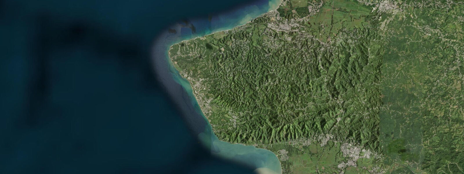
The Guajataca State Forest, 3 kilometres south of the coast, is a dry limestone forest system with hiking trails through the karst. The combination of coastal and forest landscapes in a compact area makes Quebradillas a practical half-day or full-day excursion from the Aguadilla or Isabela area.
For anglers, the cliff tops above Playa Guajataca and the rocky point east of the beach are productive for snapper and jacks at first light. The water below the karst cliffs is deep close to shore — the limestone erodes steeply — and the channel running between the offshore rock and the main beach draws fish on the tidal current change. Shore casting with jigs on the incoming tide in the early morning is the standard approach.
The Guajataca Tunnel access requires navigating a short section of rocky beach to the cliff face; this section is impassable at high water during larger swells. The low tide window gives clear, safe access to the tunnel entrance from the beach. The tunnel interior is unlit; a torch is necessary.
Tide predictions for Quebradillas come from Open-Meteo Marine, a global gridded ocean model. Accuracy is typically within plus or minus 45 minutes on timing and 0.2 to 0.3 metres on height. The karst cave and tunnel access timing is the primary practical use of the tide table here — plan the low water window for exploration, and check the swell forecast before any entry.
The Guajataca Tunnel's history connects to the broader story of Puerto Rico's early twentieth century infrastructure. The Ponce and Guayama Railroad built the tunnel as part of a coastal rail circuit; the line was intended to serve the sugar cane economy of the northwest coast. The railroad ceased operations in 1953, and the tunnel sat unused until its current status as an accessible coastal curiosity. The length (approximately 220 metres), the straight bore, and the coastal beach at the southern end make it a distinctive combination not found elsewhere on the Puerto Rico coast.
The Guajataca State Forest immediately inland is a dry limestone forest system with hiking trails that follow the ridge and descend through karst terrain to the river. Day hiking combined with the beach and tunnel is a practical full-day itinerary from a base in Isabela.
Tide questions about Quebradillas, Puerto Rico
Quick answers to the most common questions about tide times, range, and water access at Quebradillas, Puerto Rico.
Can I walk through the Guajataca Tunnel from the beach?
Yes, at low tide when the beach section leading to the tunnel entrance is clear. The tunnel is approximately 220 metres long, straight, and passable on foot; it is a disused railway bore from the early twentieth century cut through the limestone cliff. The interior is completely unlit — a torch or phone light is essential. The floor is sand and gravel, the ceiling is solid limestone, and the clearance is comfortable for a standing adult throughout. Access to the tunnel entrance from the beach is blocked at high water during larger north swells. Use the low tide window (90 minutes either side of predicted low) for reliable access.
What is the tide range at Quebradillas?
Mixed semidiurnal microtidal — spring range 0.3 to 0.5 metres. The small Caribbean tidal signal at Puerto Rico's northwest coast produces modest range; two unequal highs and two unequal lows per day. The tide is most useful here as a timing guide for beach and tunnel access, where the 0.3-to-0.5-metre range shift determines whether the rocky approach to the Guajataca Tunnel is passable. North Atlantic swell regularly pushes water levels above the predicted high; the tide table assumes calm offshore conditions. Predictions come from Open-Meteo Marine — accuracy within plus or minus 45 minutes on timing and 0.2 to 0.3 metres on height.
Is Playa Guajataca safe for swimming?
Conditionally. On calm summer days with low swell and light wind the beach is swimmable in the area away from the flanking rocks. On north swell days — common from October through March — the shore break at Guajataca is powerful and dumps hard, making casual swimming inadvisable and dangerous for non-swimmers. There is no lifeguard. The beach is north-facing and exposed, with no offshore barrier. Check the swell forecast from the National Hurricane Center or NOAA alongside the tide table before swimming. The smaller Playa Jobos del Guajataca has a more sheltered character and is better for families on moderate swell days.
Where is Quebradillas relative to other northwest Puerto Rico beaches?
Quebradillas is the easternmost municipality of the northwest beach corridor. Isabela with its Jobos and Shacks beaches is 15 kilometres to the west; Aguadilla, with its major surf zones, is 25 kilometres southwest. The stretch from Aguadilla through Isabela to Quebradillas is connected by PR-2 and the parallel coastal roads and is typically covered in a single day trip from a base in Aguadilla or Isabela. The Guajataca Tunnel beach and the start of the Guajataca State Forest hiking trails are Quebradillas' main draws.
What fish can I catch shore fishing at Quebradillas?
The cliff tops and rocky point east of Playa Guajataca hold yellowtail and mangrove snapper, various jack species, and barracuda. The limestone karst drops steeply below the cliffs, putting depth close to shore — a productive configuration for drop-shot and jigging from the cliff edge into the channel below. Early morning on the incoming tide is the consistent productive window; the current change at the start of the flood moves baitfish over the drop and brings predators with them. Shore casting from the rocks above the beach is also effective. Wear closed-toe footwear with grip on the wet limestone; the edges are sharp and uneven.
7-day tide table — Quebradillas, Puerto Rico
Heights relative to MSL. Predictions: Open-Meteo Marine (MeteoFrance SMOC, 0.08° grid) — heights relative to MSL (not chart datum / LAT). Model-derived.
| Day | Type | Time | Height |
|---|---|---|---|
| Sat 04 Jul | Low | 05:45 | 0.2m |
| High | 11:10 | 0.3m | |
| Low | 16:45 | 0.1m | |
| Sun 05 Jul | High | 12:00 | 0.4m |
| Low | 17:50 | 0.2m | |
| Mon 06 Jul | High | 00:10 | 0.5m |
| Low | 06:54 | 0.1m | |
| High | 13:06 | 0.4m | |
| Low | 18:50 | 0.2m | |
| Tue 07 Jul | High | 14:00 | 0.5m |
| Wed 08 Jul | Low | 07:54 | 0.1m |
| High | 15:00 | 0.5m | |
| Low | 21:10 | 0.2m | |
| Thu 09 Jul | High | 15:54 | 0.6m |
| Low | 22:18 | 0.2m | |
| Fri 10 Jul | High | 17:00 | 0.6m |
| Low | 19:00 | 0.5m |