Isabela, Puerto Rico tide times
Isabela, Puerto Rico tide forecast — heights relative to MSL.
Today's tide times for Isabela, Puerto Rico
Tide times at Isabela, Puerto Rico on Saturday, 4 July 2026: first low tide at 05:45am, first high tide at 11:10am, second low tide at 04:45pm. Sunrise 05:56am, sunset 07:08pm.
Tide chart for Isabela, Puerto Rico
24-hour cosine-interpolated curve around the present moment. Heights relative to MSL. Predictions: Predictions: Open-Meteo Marine (MeteoFrance SMOC, 0.08° grid).
Sun, moon and conditions on Sat 04 Jul
Snapshot at build time — refreshes daily. Sea state from Open-Meteo Marine.
Highs and lows next 7 days
Every predicted high and low for the next week, with the daily tidal coefficient (0–120; higher = bigger swing, > 95 means stronger currents).
Other spots nearby
The three closest curated TideTurtle locations to Isabela, Puerto Rico, measured by great-circle distance.
Today's solunar windows
Solunar tradition: major periods are the ≈3h windows around moon transit and opposition; minor are ≈2h around moonrise and moonset. Pair with the local tide stage and wind for the best read.
Cycle dates near Isabela, Puerto Rico
Next spring tide on Tue 07 Jul (range 0.5m). Next neap on Sat 04 Jul.
Spring tides cluster around new and full moons (biggest swings). Neap tides land on quarter moons (smallest swings). See the spring tide and neap tide glossary entries for the why.
About tides at Isabela, Puerto Rico
A short guide to the coastline at Isabela, Puerto Rico — geography, sea state, and what the tide is actually doing under your feet.
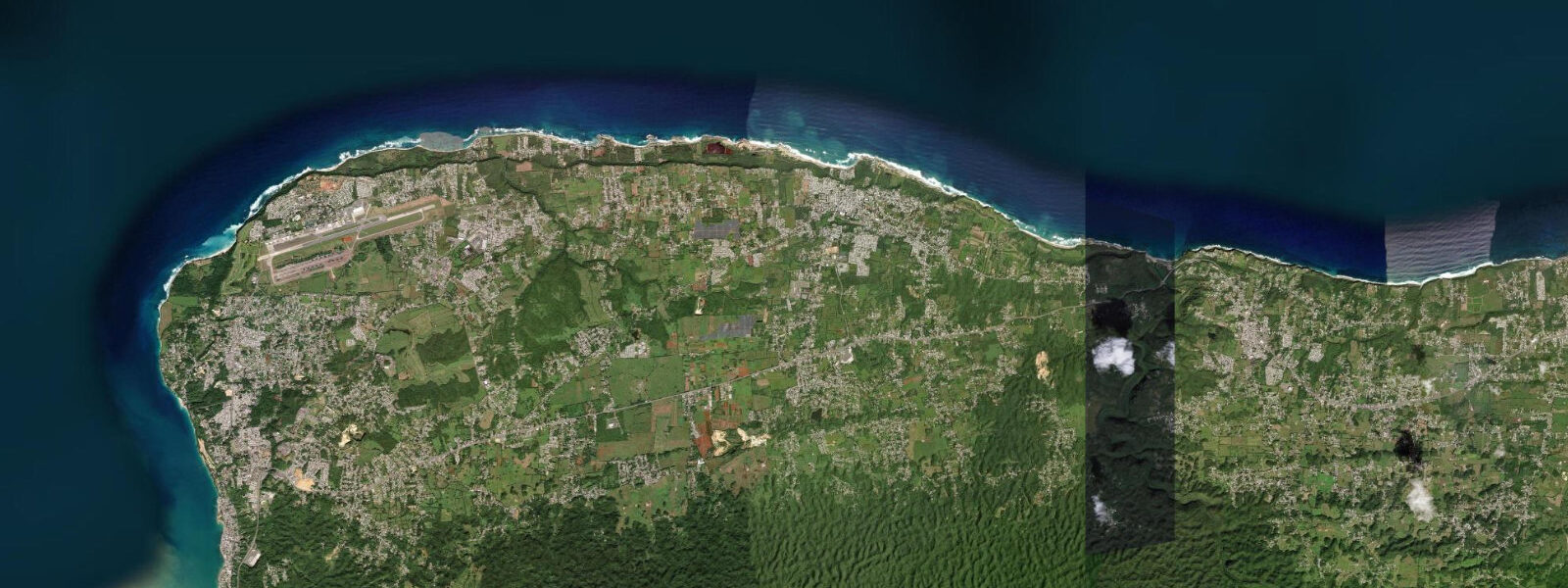
Isabela sits on Puerto Rico's northwest coast where the karst limestone plateau meets the Atlantic, producing a coastline of dramatic sea cliffs, hidden coves, and a series of named beach breaks that have made this municipality one of the most visited surf and beach destinations on the island. The most iconic feature is the karst arch and the caves at Playa Shacks (Playa Mar Chiquita area), where the limestone cliffs are eroded by both wave action and freshwater dissolution, creating formations that are accessible at low tide and partially inundated at high. Jobos Beach (Playa de Jobos) is the central beach of the Isabela coast — a broad crescent of medium-grained white sand, reef-protected at its southern end, with a livelier shore break on the exposed northern section.
The tidal regime at Isabela is mixed semidiurnal, microtidal by Caribbean standards: spring range typically 0.3 to 0.5 metres. The predictable Atlantic trade wind swell from the north and northeast is the dominant variable on this coast, not the tide. But the tide still matters for the karst caves and the beach access points: low water clears the rocky shelf below the cliffs at Playa Shacks and opens the cave floors for walking, while high water fills the arches and makes cave access inadvisable.
The surf at Isabela is consistent year-round on the northwest-facing points, driven by the persistent Atlantic trade wind swell. The winter north swells from November through March push the larger sets; summer delivers smaller but still rideable wind swell from the east-northeast. Middles, a point break south of Jobos, is the most consistent wave on this coast and handles more power than the shorebreak at Jobos itself. Playa Shacks, immediately north, has a shorter, punchier break over the reef shelf that works on the same swells.
Outside the surf breaks, Isabela's reef flats and sea grass beds are productive snorkelling habitats accessible from several beach entry points. The reef system between Jobos and Shacks supports parrotfish, French angelfish, and the occasional spotted eagle ray cruising the grass bed edges. Entry from the beach is easier at mid-to-low tide when the reef is shallower but before the surge picks up enough to make crossing the reef uncomfortable.
Fishing from the limestone cliffs and rock points around Isabela is a longstanding local practice. The drop-offs below the karst cliffs produce depth quickly; shore anglers cast for snapper, parrotfish, and various jacks from the cliff bases accessible at low water. Bonefish work the sea grass flats in the protected coves.
The municipality's agricultural identity — Isabela produces a significant portion of Puerto Rico's dairy — coexists with the beach and surf economy. The town centre is 4 kilometres inland from the coast; the Isabela beach road connects the various beach access points. There are food kiosks at Jobos and surf shops near Playa Shacks.
Tide predictions for Isabela come from Open-Meteo Marine, a global gridded ocean model. Accuracy is typically within plus or minus 45 minutes on timing and 0.2 to 0.3 metres on height. With a microtidal spring range of 0.3 to 0.5 metres, the swell and wind forecast drives practical planning more than the tide table on most days.
The northwest coast's karst terrain creates an environment where tide timing genuinely matters for site access. The tidal shift of 0.3 to 0.5 metres determines whether cave floors and reef shelves are walkable or submerged; this is one of the few sections of the Puerto Rico coast where the tide table serves as a practical field guide rather than background information.
Isabela's community is one of the most surf-aware on the island; the local surf culture, shaped by proximity to consistent Atlantic breaks and the northwest-facing orientation that captures north swells, has produced a community calendar built around the ocean. The local Surf Shop row near Playa Shacks rents boards and provides current break reports.
Tide questions about Isabela, Puerto Rico
Quick answers to the most common questions about tide times, range, and water access at Isabela, Puerto Rico.
What is the tide range at Isabela, Puerto Rico?
Isabela is microtidal — mixed semidiurnal, spring range 0.3 to 0.5 metres. Two unequal highs and two unequal lows per day; the change is subtle enough that casual beach visitors may not notice it. The tide matters most for karst cave and rock shelf access at Playa Shacks: low tide clears the cave floors and the rocky shelf below the cliffs, while high tide fills the arches. Neap range compresses to around 0.2 metres. Tide predictions come from Open-Meteo Marine — accuracy within plus or minus 45 minutes on timing and 0.2 to 0.3 metres on height.
Can I explore the sea caves at Playa Shacks on foot?
Yes, at low tide. The karst caves and arch formations at Playa Shacks are accessible when the rock shelf below the cliffs is exposed — approximately 90 minutes either side of predicted low water. At high tide the arches are partially or fully inundated and cave entry is not safe. Footwear is essential: the limestone shelf is sharp and slippery, and the sand inside the caves is wet. The caves are not deep formations — the main attraction is the light and the formations visible from the beach entry, not a technical cave system. Do not enter caves when swell is running over 1.0 metre; the surge inside the formations increases significantly.
Where are the best surf spots near Isabela?
Middles is the most consistent named break on the Isabela coast — a right-breaking point south of Jobos that handles more swell size than the beach breaks and works best on northwest to north swells. Playa Shacks has a punchier reef break immediately north that breaks over a limestone shelf and works on smaller northeast swells. Jobos Beach itself has a shore break that is suitable for beginners on smaller days. The northwest-facing orientation of this coast means it picks up north Atlantic swell from November through March and consistent trade wind swell year-round. Local surf shops near Playa Shacks rent boards and can advise on current conditions.
Is snorkelling accessible from the beach at Isabela?
Yes. The reef system between Jobos and Playa Shacks supports parrotfish, French and queen angelfish, goatfish, and occasional spotted eagle rays on the sea grass bed edges. Beach entry is easiest at mid-to-low tide, when the reef flat is exposed enough to navigate without surge making it uncomfortable. Clarity is best in the early morning before the trade wind picks up. Entry at Playa Shacks is directly off the beach and into the reef zone within 30 metres of shore. Operators in Aguadilla, 15 km south, run guided snorkel and dive trips to this coastline if you prefer a structured excursion.
How do I get from San Juan to Isabela?
Isabela is approximately 130 kilometres west of San Juan on PR-2 and PR-112. By car the journey takes 2 to 2.5 hours depending on traffic; the PR-2 highway carries significant truck traffic between San Juan and Mayagüez. There is no convenient public transport from San Juan to Isabela — the público system requires changes at Aguadilla or Mayagüez and is not practical for a day trip. A rental car is the standard approach for visiting the northwest coast. The beach access road to Jobos and Playa Shacks runs off PR-4466; there is parking at both access points.
7-day tide table — Isabela, Puerto Rico
Heights relative to MSL. Predictions: Open-Meteo Marine (MeteoFrance SMOC, 0.08° grid) — heights relative to MSL (not chart datum / LAT). Model-derived.
| Day | Type | Time | Height |
|---|---|---|---|
| Sat 04 Jul | Low | 05:45 | 0.2m |
| High | 11:10 | 0.3m | |
| Low | 16:45 | 0.1m | |
| Sun 05 Jul | High | 12:00 | 0.4m |
| Low | 17:50 | 0.2m | |
| Mon 06 Jul | High | 00:10 | 0.5m |
| Low | 06:54 | 0.1m | |
| High | 13:06 | 0.4m | |
| Low | 18:50 | 0.2m | |
| Tue 07 Jul | High | 14:00 | 0.5m |
| Wed 08 Jul | Low | 07:54 | 0.1m |
| High | 15:00 | 0.5m | |
| Low | 21:10 | 0.2m | |
| Thu 09 Jul | High | 15:54 | 0.6m |
| Low | 22:18 | 0.2m | |
| Fri 10 Jul | High | 17:00 | 0.6m |
| Low | 19:00 | 0.5m |