Aguadilla, Puerto Rico tide times
Aguadilla, Puerto Rico tide forecast — heights relative to MSL.
Today's tide times for Aguadilla, Puerto Rico
Tide times at Aguadilla, Puerto Rico on Saturday, 4 July 2026: first low tide at 05:50am, first high tide at 11:00am. Sunrise 05:56am, sunset 07:09pm.
Tide chart for Aguadilla, Puerto Rico
24-hour cosine-interpolated curve around the present moment. Heights relative to MSL. Predictions: Predictions: Open-Meteo Marine (MeteoFrance SMOC, 0.08° grid).
Sun, moon and conditions on Sat 04 Jul
Snapshot at build time — refreshes daily. Sea state from Open-Meteo Marine.
Highs and lows next 7 days
Every predicted high and low for the next week, with the daily tidal coefficient (0–120; higher = bigger swing, > 95 means stronger currents).
Other spots nearby
The three closest curated TideTurtle locations to Aguadilla, Puerto Rico, measured by great-circle distance.
Today's solunar windows
Solunar tradition: major periods are the ≈3h windows around moon transit and opposition; minor are ≈2h around moonrise and moonset. Pair with the local tide stage and wind for the best read.
Cycle dates near Aguadilla, Puerto Rico
Next spring tide on Thu 09 Jul (range 0.6m). Last neap on Fri 03 Jul.
Spring tides cluster around new and full moons (biggest swings). Neap tides land on quarter moons (smallest swings). See the spring tide and neap tide glossary entries for the why.
About tides at Aguadilla, Puerto Rico
A short guide to the coastline at Aguadilla, Puerto Rico — geography, sea state, and what the tide is actually doing under your feet.
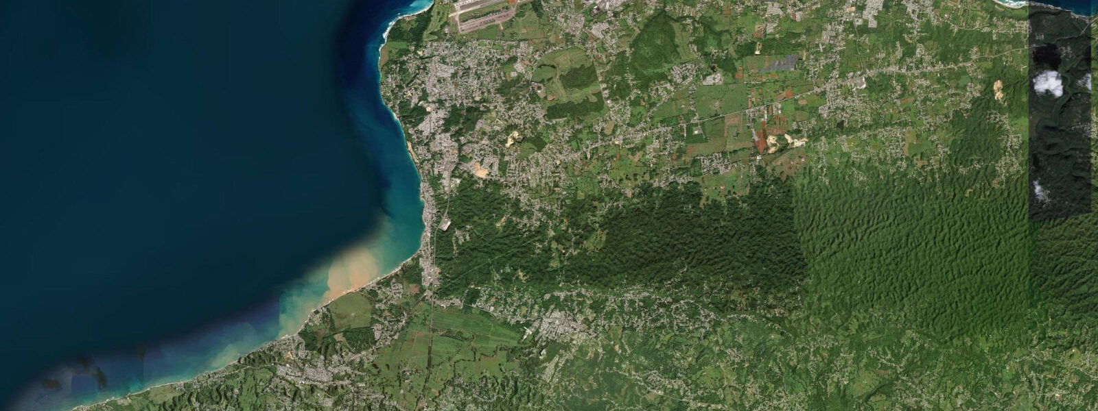
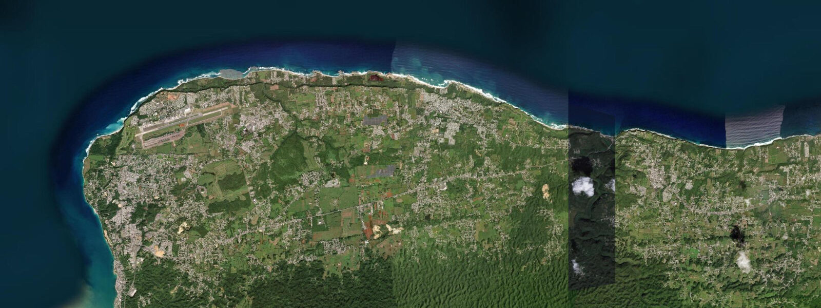
Aguadilla sits on the northwest tip of Puerto Rico at Punta Borinquen, where the Atlantic swell arrives from the north and northwest with nothing between it and the North American storm track. This is the most exposed coast on the island — the same orientation that made the former Ramey Air Force Base a strategic location is what makes Aguadilla a regional surf destination. The World Surfing Reserve designation at Punta Higüero, 8 km south near Rincón, formally recognises the concentration of quality breaks along this coastline.
The surf breaks at Aguadilla cluster around two distinct areas. Pipeline — locally named, unrelated to North Shore — is a reef break north of the town that works on northwest groundswell, typically October through April when North Atlantic low-pressure systems generate long-period swells. Wilderness, further north toward the old Air Force base, is a longer right-hander over a sand-and-rock bottom; it handles moderate swell better than Pipeline and is more consistent through the season. Gas Chambers is a reef pass south of the Pipeline zone, better known for snorkelling than surfing; the swim-through lava tubes and the abundance of fish and invertebrate life on the reef structure make it one of the more distinctive snorkelling sites on the island.
The tidal regime at Aguadilla is mixed semidiurnal with a spring range of 0.3 to 0.5 metres — the same microtidal character as the rest of Puerto Rico. Tide state matters to surf quality here more than at the calmer south coast: the reef at Pipeline has a defined sweet spot on the lower half of the tide, when the swell refracts more directly onto the reef ledge and the lip is cleaner. At high tide, the reef is covered by an additional 0.3 to 0.5 m and the wave shape softens. The difference is small by the standards of a macro-tidal coast, but on a consistent 1.5 m swell day it is observable. Surf forecasts from regional services should be combined with the tide prediction on this page to identify the best windows.
For anglers, the rocky shoreline near Punta Borinquen lighthouse and the points north of town produce jack crevalle, barracuda, and occasional bonefish in the inshore rocky reef structure. The incoming tide concentrates baitfish against the point structure — the flood phase, from low through mid-tide, is the productive window on most days. The lighthouse at Punta Borinquen, operational since 1889, sits on a bluff above the surf zone; the rocky shelf below it is accessible on foot at the lower tides.
Families and swimmers use the town beach at Balneario Aguadilla (El Crash Boat Beach) and the more protected Playa Las Cascadas. Crash Boat gets its name from the rescue boats that operated from the former base to recover aircraft; the pier pilings are now home to a dense fish community visible to snorkellers. Swimming conditions here depend heavily on swell height and direction — the beach is sheltered from the dominant northwest swell by a point to the north, so it stays swimmable on most north-swell days. When wind shifts to northwest above 20 knots, conditions deteriorate quickly.
The Punta Borinquen lighthouse, on the cliffs above the surf zone, is a popular photographer's position for capturing northwest swell. The combination of the historic structure, the crashing Atlantic, and the sunset light over the water to the west produces one of the more distinctive coastal images on the island. The best light falls in the hour before sunset, when the western facing is directly illuminated. Tide state matters for the foreground: the lower two-thirds of the tidal cycle exposes the rock ledge below the bluff and provides foreground texture.
Predictions on this page come from Open-Meteo Marine, a global gridded ocean model. Accuracy is typically ±45 minutes on timing and ±0.2 to 0.3 metres on height. For a coast with a spring range of 0.3 to 0.5 m, the timing uncertainty can be a significant fraction of the tidal cycle. For surf-critical timing, combine this prediction with regional swell forecasts and local knowledge of the specific reef response.
Tide questions about Aguadilla, Puerto Rico
Quick answers to the most common questions about tide times, range, and water access at Aguadilla, Puerto Rico.
When is the next high tide at Aguadilla?
The predicted next high tide at Aguadilla is shown at the top of this page in Atlantic Standard Time (AST, UTC-4). Spring range here is 0.3 to 0.5 metres. For surf planning, the tide state matters most for the reef breaks: Pipeline and Wilderness both perform better on the lower half of the tidal cycle when the reef ledge is shallower. Predictions come from Open-Meteo Marine (gridded, ±45 min / ±0.2–0.3 m).
What is the best tide for surfing at Aguadilla's Pipeline?
Pipeline at Aguadilla is generally better at low to mid tide, when the reef ledge sits closer to the surface and the swell refracts more sharply onto the break. The spring range of 0.3 to 0.5 m means the window is not as precisely defined as on a higher-range coast, but the lower third of the tidal cycle (roughly 0 to 0.15 m above the low) consistently produces cleaner shape. Swell period and direction matter more than tide — northwest groundswell at 10+ seconds is the prerequisite.
Where do tide predictions for Aguadilla come from?
Predictions come from Open-Meteo Marine, a free global gridded ocean model. The model estimates tidal height from a geographic grid rather than from harmonic analysis of a local gauge on the northwest Puerto Rico coast. Accuracy is typically ±45 minutes on timing and ±0.2 to 0.3 metres on height. NOAA's Mayagüez or Aguadilla harmonic tide data is the most reliable nearby benchmark for the western Puerto Rico coast.
Is Gas Chambers reef worth snorkelling regardless of tide?
Gas Chambers reef is snorkellable at any tide state — the swim-through lava tubes are deep enough throughout the 0.3 to 0.5 m tidal range. Visibility is best when swell is minimal and the wind is light, conditions most common in early morning during the calmer summer months (June–September). When northwest swell is running (October–April), the surge inside the reef structure makes Gas Chambers uncomfortable or unsafe for snorkellers. Check the swell forecast before entering.
Is this safe to use for navigation?
No. TideTurtle is a planning tool, not a nautical almanac. The northwest Puerto Rico coast has reef hazards, strong current at Punta Borinquen in swell conditions, and commercial vessel traffic in the Mona Passage. Navigation requires current NOAA charts and the relevant section of the US Coast Pilot. The reef breaks at Pipeline and Wilderness are in shallow water over rock; surf rescue in those conditions requires specific local knowledge. Open-Meteo Marine gridded predictions are not a substitute for authoritative harmonic data for any vessel operation.
7-day tide table — Aguadilla, Puerto Rico
Heights relative to MSL. Predictions: Open-Meteo Marine (MeteoFrance SMOC, 0.08° grid) — heights relative to MSL (not chart datum / LAT). Model-derived.
| Day | Type | Time | Height |
|---|---|---|---|
| Sat 04 Jul | Low | 05:50 | 0.2m |
| High | 11:00 | 0.3m | |
| Sun 05 Jul | Low | 06:10 | 0.2m |
| Mon 06 Jul | High | 00:10 | 0.5m |
| Low | 06:50 | 0.1m | |
| Tue 07 Jul | High | 00:45 | 0.5m |
| Low | 19:50 | 0.3m | |
| Wed 08 Jul | High | 01:15 | 0.4m |
| Low | 07:54 | 0.1m | |
| High | 14:54 | 0.5m | |
| Low | 21:00 | 0.3m | |
| Thu 09 Jul | High | 02:10 | 0.4m |
| Low | 08:42 | 0.1m | |
| High | 15:50 | 0.6m | |
| Fri 10 Jul | Low | 09:18 | 0.0m |
| High | 16:54 | 0.6m | |
| Low | 19:00 | 0.5m |