Fajardo, Puerto Rico tide times
Fajardo, Puerto Rico tide forecast — heights relative to MSL.
Today's tide times for Fajardo, Puerto Rico
Tide times at Fajardo, Puerto Rico on Saturday, 4 July 2026: first low tide at 04:50pm, first high tide at 11:50pm. Sunrise 05:51am, sunset 07:02pm.
Tide chart for Fajardo, Puerto Rico
24-hour cosine-interpolated curve around the present moment. Heights relative to MSL. Predictions: Predictions: Open-Meteo Marine (MeteoFrance SMOC, 0.08° grid).
Sun, moon and conditions on Sat 04 Jul
Snapshot at build time — refreshes daily. Sea state from Open-Meteo Marine.
Highs and lows next 7 days
Every predicted high and low for the next week, with the daily tidal coefficient (0–120; higher = bigger swing, > 95 means stronger currents).
Other spots nearby
The three closest curated TideTurtle locations to Fajardo, Puerto Rico, measured by great-circle distance.

Today's solunar windows
Solunar tradition: major periods are the ≈3h windows around moon transit and opposition; minor are ≈2h around moonrise and moonset. Pair with the local tide stage and wind for the best read.
Cycle dates near Fajardo, Puerto Rico
Next spring tide on Mon 06 Jul (range 0.3m). Next neap on Sun 05 Jul.
Spring tides cluster around new and full moons (biggest swings). Neap tides land on quarter moons (smallest swings). See the spring tide and neap tide glossary entries for the why.
About tides at Fajardo, Puerto Rico
A short guide to the coastline at Fajardo, Puerto Rico — geography, sea state, and what the tide is actually doing under your feet.
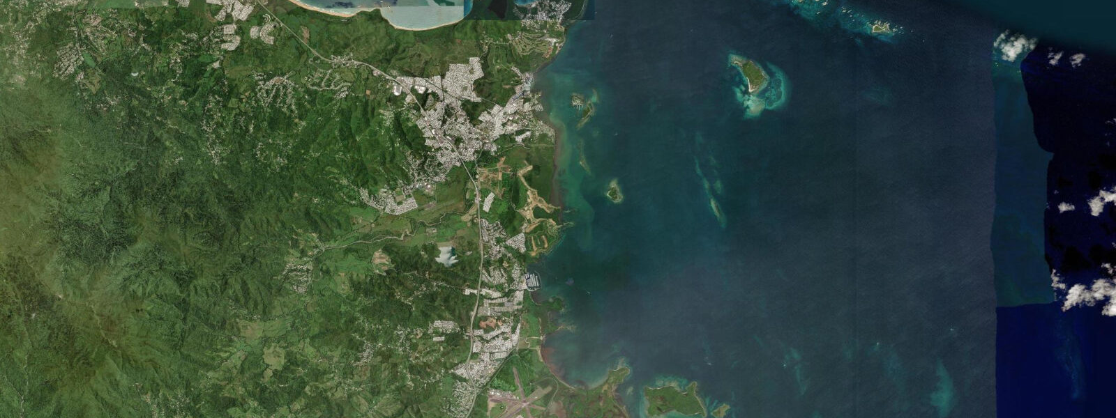
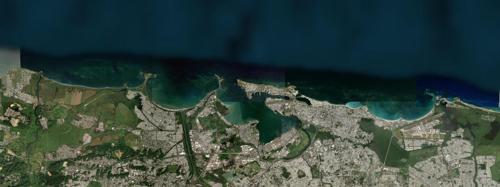
Fajardo occupies the northeast corner of Puerto Rico, the point where the island turns from Atlantic-facing north coast to the more sheltered Caribbean east. The difference is meaningful: north-facing beaches here catch Atlantic trade swell directly, while the cays and islets immediately offshore — Palomino, Icacos, Diablo — sit in a transitional zone that is calmer in easterly trades and rougher when north swell arrives. Isleta Marina, Puerto Rico's largest marina complex, anchors the working waterfront and is the departure point for most of the region's water activities.
The tidal regime at Fajardo is mixed semidiurnal and genuinely small. Spring range runs 0.3 to 0.5 metres above the astronomical low-water reference — two unequal highs and two unequal lows per day, with the diurnal inequality evident across most of the lunar cycle. The predicted tide describes only part of the water-level story here: trade wind setup, Atlantic cold-front passages in winter, and the complex shelf bathymetry around the Vieques Sound all contribute short-term variations that can equal or exceed the astronomical signal. Treat the predicted high and low as the baseline, then layer the wind and weather forecast on top.
Kayaking is the dominant water activity out of Fajardo, and the destination most visitors come for is Laguna Grande in the Las Cabezas de San Juan Nature Reserve. The bioluminescent lagoon — one of the brightest in the world — requires a guided kayak trip through the mangrove channel, timed to arrive after dark. The brightness of the dinoflagellate glow is seasonal, peaking roughly June through November when water temperatures are highest and the organisms most active. The moon phase matters more than the tide for this trip: the darkest nights, around the new moon, produce the most visible glow against the black water.
Snorkellers and divers head to the offshore cays. Palomino, 4 km offshore, has a beach and reef accessible by ferry or private boat; the reef crest on the north side holds staghorn and brain coral in water 2 to 5 m deep. Icacos, further east, is less visited and the reef condition is generally better — intermediate swimmers can handle the currents on the south side, but the north side reef passage should be timed for the slack near the tide change, when current eases. The predicted turn of tide here is accurate to about ±45 minutes from Open-Meteo Marine; plan a buffer on either side.
Fishing out of Fajardo targets mahi-mahi, wahoo, and blue marlin offshore in the Puerto Rico Trench, which drops to over 8,000 m just north of the island — the deepest point in the Atlantic. Inshore, jack and snapper work the reef edges on the incoming tide, particularly around the rocky points of Cabezas de San Juan. Anglers reading this tide page should note that the incoming tide here runs from the Atlantic south into the Vieques Sound, concentrating baitfish against the reef structure from roughly one hour before the low through the first three hours of the flood.
Families using the beaches at Balneario Seven Seas — a protected beach on the north side of the Cabezas peninsula — find that the low tide drops the water line only 0.3 to 0.5 m from the high mark, so the beach width does not change dramatically. The defining variable for swimming conditions here is swell height and wind direction: offshore wind from the east (the trade) produces calm mornings; onshore wind from the north during winter months pushes 0.5 to 1.5 m swell onto the beach and changes the swimming character entirely.
Photographers targeting the Cabezas lighthouse and the mangrove shoreline get the best foreground texture on the lower half of the tidal cycle, when the rocky shelf below the lighthouse is exposed. The light at dawn, facing east, is best from October through February when the sun rises further south and illuminates the whole headland face.
Ferry passengers connecting to Vieques or Culebra from the terminal at the marina should note that the ferry schedule is fixed and does not follow the tide. The 35-minute crossing to Vieques crosses relatively shallow water in the Vieques Sound, and crossings are rougher during strong easterly trades (15+ knots) or north swell events. Tide state on the crossing itself is not a planning variable.
Tide predictions on this page come from Open-Meteo Marine, a global gridded ocean model. Accuracy is typically ±45 minutes on timing and ±0.2 to 0.3 metres on height above the local reference level. For Fajardo, where the full spring range is only 0.3 to 0.5 m, the model's uncertainty can be a significant fraction of the total signal. For activity-critical timing, cross-reference with NOAA's Caribbean tide predictions for Puerto Rico and monitor the wind forecast.
Tide questions about Fajardo, Puerto Rico
Quick answers to the most common questions about tide times, range, and water access at Fajardo, Puerto Rico.
When is the next high tide at Fajardo?
The predicted next high tide at Fajardo is shown at the top of this page in Atlantic Standard Time (AST, UTC-4; Puerto Rico does not observe daylight saving). Spring range here is 0.3 to 0.5 metres — two unequal highs and lows per day. Predictions come from Open-Meteo Marine (gridded, ±45 min / ±0.2–0.3 m). NOAA's Caribbean regional model provides a useful cross-reference for this location.
What is the best tide for kayaking to the bioluminescent lagoon at Fajardo?
Laguna Grande is accessible by kayak at any tide state — the lagoon channel through the mangroves at Las Cabezas de San Juan Nature Reserve is deep enough throughout the tidal range. What actually determines the quality of the bioluminescence experience is the moon phase, not the tide: the new moon window, when the sky is darkest, produces the most visible glow. Tours depart after sunset regardless of tide. Book through a licensed Las Cabezas guide operator — the reserve limits access.
Where do tide predictions for Fajardo come from?
Predictions on this page come from Open-Meteo Marine, a free global gridded ocean model. The model estimates tidal height from a geographic grid rather than from harmonic analysis of a local gauge at Fajardo. Accuracy is typically ±45 minutes on timing and ±0.2 to 0.3 metres on height. For a coast with a spring range of only 0.3 to 0.5 m, that uncertainty is a meaningful fraction of the total signal. NOAA's Puerto Rico harmonic stations are the authoritative source for planning-grade predictions in these waters.
What conditions are best for snorkelling at the offshore cays near Fajardo?
The offshore cays — Palomino, Icacos, Diablo — are best reached in calm to moderate easterly trade wind conditions (under 15 knots). The reef passages between islands produce current that eases near the tide change; plan reef entries around the slack, which Open-Meteo Marine predicts to within about 45 minutes. Morning conditions before the trade wind builds (typically before 11:00) produce the clearest water and lightest current. A north swell above 0.8 m makes the north-facing reef sides rough; move to the south-side shallows instead.
Is this safe to use for navigation?
No. TideTurtle is a planning tool, not a nautical almanac. Navigation in Vieques Sound, around the offshore cays, and into Isleta Marina requires current NOAA charts, the relevant Coast Pilot, and attention to the channel markers. The reef structure between the cays and the Puerto Rican mainland is complex; charted depths are the minimum safety requirement. Open-Meteo Marine gridded predictions are not a substitute for gauge-calibrated harmonic predictions for any vessel operation.
7-day tide table — Fajardo, Puerto Rico
Heights relative to MSL. Predictions: Open-Meteo Marine (MeteoFrance SMOC, 0.08° grid) — heights relative to MSL (not chart datum / LAT). Model-derived.
| Day | Type | Time | Height |
|---|---|---|---|
| Sat 04 Jul | Low | 16:50 | 0.1m |
| High | 23:50 | 0.4m | |
| Sun 05 Jul | Low | 06:50 | 0.1m |
| Mon 06 Jul | High | 00:10 | 0.4m |
| Low | 18:50 | 0.2m | |
| Tue 07 Jul | High | 00:50 | 0.4m |
| Low | 07:45 | 0.1m | |
| Wed 08 Jul | High | 01:42 | 0.3m |
| Low | 08:10 | 0.0m | |
| Thu 09 Jul | High | 02:10 | 0.3m |
| Low | 08:50 | 0.0m | |
| Fri 10 Jul | High | 17:18 | 0.5m |