
Culebra Island, Puerto Rico tide times
Culebra Island, Puerto Rico tide forecast — heights relative to MSL.
Tide chart for Culebra Island, Puerto Rico
24-hour cosine-interpolated curve around the present moment. Heights relative to MSL. Predictions: Predictions: Open-Meteo Marine (MeteoFrance SMOC, 0.08° grid).
Sun, moon and conditions on Sat 04 Jul
Snapshot at build time — refreshes daily. Sea state from Open-Meteo Marine.
Highs and lows next 7 days
Every predicted high and low for the next week, with the daily tidal coefficient (0–120; higher = bigger swing, > 95 means stronger currents).
Other spots nearby
The three closest curated TideTurtle locations to Culebra Island, Puerto Rico, measured by great-circle distance.
Today's solunar windows
Solunar tradition: major periods are the ≈3h windows around moon transit and opposition; minor are ≈2h around moonrise and moonset. Pair with the local tide stage and wind for the best read.
About tides at Culebra Island, Puerto Rico
A short guide to the coastline at Culebra Island, Puerto Rico — geography, sea state, and what the tide is actually doing under your feet.
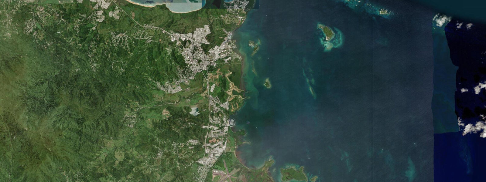
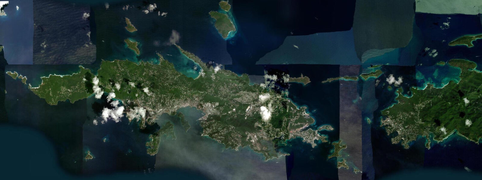
Culebra is a small US territory island approximately 27 kilometres east of mainland Puerto Rico, reachable by ferry from Ceiba or by small aircraft. The island covers roughly 30 square kilometres and has a resident population of around 1,800 people in the town of Dewey. The marine environment surrounding Culebra — within the Culebra National Wildlife Refuge, one of the oldest refuges in the US system — is the primary draw: the water clarity, coral health, and fish density around Culebra and its surrounding cays are among the best in Puerto Rico.
Flamenco Beach on Culebra's northwest coast is consistently ranked among the most beautiful beaches in the Caribbean — a kilometre-long arc of white sand backed by low hills, with calm, turquoise water protected by a natural headland and the crescent shape of the bay. The beach faces northeast into the trade wind, which provides cooling air flow without building significant swell in the enclosed arc. At the southern end of the bay a rocky point, accessible at low water and below, provides some of the most accessible snorkelling from shore on the island.
The tidal regime at Culebra is Caribbean mixed semidiurnal, microtidal: spring range typically 0.3 to 0.5 metres. The small tidal range means Flamenco Beach is swimmable and accessible across the full cycle; the difference between high and low water shifts the beach width by less than a metre. The rocky points and reef sections at low water expose more of the snorkelling habitat and the intertidal pools, which are the most tide-sensitive features.
Beyond Flamenco, Culebra has seventeen named beaches and numerous unnamed coves accessible only by boat. Tamarindo Beach on the south coast is a leatherback sea turtle nesting site; access at night during nesting season from March through July is restricted. Playa Resaca on the north coast involves a 45-minute hike over the hill and has the island's most consistent reef snorkelling in terms of coral cover and fish diversity. Playa Zoni on the east end faces toward Vieques and the open Atlantic and has stronger surf on northeast swell days.
The Luis Peña Channel, between Culebra and the uninhabited Luis Peña Cay immediately to the west, is within a no-take marine reserve. Snorkelling and diving in the channel is some of the most fish-dense in the region; the current through the channel concentrates bait and draws larger pelagics. The current runs with the tide; the direction change at the tide turn creates a brief slack window when visibility is best and the current is manageable for casual snorkellers. Timing this window requires knowing the local high and low water times.
Dewey town has water taxi services that run to the outer beaches and cays; ferry service from Ceiba runs multiple times daily (crossing time approximately 90 minutes). The ferry schedule is the primary logistical constraint for day-trippers; the first ferry from Ceiba typically departs early morning, and the last return is in the late afternoon, which gives a practical window for a full beach day.
Tide predictions for Culebra come from Open-Meteo Marine, a global gridded ocean model. Accuracy is typically within plus or minus 45 minutes on timing and 0.2 to 0.3 metres on height. The 0.3-to-0.5-metre range is a minor planning variable for beach use; the tide matters most for timing the slack water window in the Luis Peña Channel.
Culebra's environmental significance extends beyond the beaches. The island and its surrounding cays — Culebrita, Cayo Norte, Isla Cayito — are within the Culebra National Wildlife Refuge, one of the oldest refuges in the US system, established in 1909. The refuge protects nesting habitat for leatherback, hawksbill, and green sea turtles, as well as seabird nesting on the cays. The US Navy used Culebra for bombing practice until 1975, when community protest and Congressional action ended the training; the environmental legacy includes some unexploded ordnance in specific areas that are clearly marked and have not affected the primary visitor beaches.
Tide questions about Culebra Island, Puerto Rico
Quick answers to the most common questions about tide times, range, and water access at Culebra Island, Puerto Rico.
How do I get to Culebra from Puerto Rico mainland?
Two options: ferry from Ceiba (formerly from Fajardo; terminal moved to Ceiba) and small aircraft. The Puerto Rico Ports Authority ferry takes approximately 90 minutes and runs multiple daily round trips; the schedule changes seasonally, and booking in advance is recommended for weekend and holiday sailings. The one-way fare is modest (under USD 5 for residents, slightly higher for non-residents at last check). Small aircraft from Ceiba or San Juan take 20 minutes and land at Culebra's Benjamin Rivera Noriega Airport. Air is reliable; the ferry can be disrupted by weather and mechanical issues, so build flexibility into a day trip.
What is the tide range at Culebra?
Caribbean microtidal — mixed semidiurnal, spring range 0.3 to 0.5 metres. Two unequal highs and two unequal lows per day; the range difference between neap and spring is modest. Flamenco Beach is swimmable across the full tidal cycle; the range shifts the beach width by less than a metre. The Luis Peña Channel current direction is tide-dependent — the slack water at the tide turn is the best snorkelling window in the channel. Tide predictions come from Open-Meteo Marine — accuracy within plus or minus 45 minutes on timing and 0.2 to 0.3 metres on height.
Is Flamenco Beach as good as its reputation?
Flamenco Beach is genuinely exceptional by Caribbean standards. The kilometre-long arc of white quartz sand, the turquoise water protected by the bay's natural crescent shape, and the trade wind cooling make it a reliable top-five Caribbean beach in any objective ranking. The two US military tanks parked at the southern end — remnants of the Navy training range that operated until 2003 — are now covered in graffiti and are a curiosity rather than a detraction. The beach gets crowded on weekend and holiday mornings when day-trippers arrive from the ferry; arrive before 10:00 or aim for a Tuesday to Thursday visit for the most space.
Where can I snorkel on Culebra?
Four main options, in roughly increasing order of effort: the rocky point at the south end of Flamenco Beach (walk from the beach, low tide reveals more); Playa Carlos Rosario, accessible by water taxi or a short hike north from Flamenco, with a healthy reef directly from the beach; the Luis Peña Channel (no-take marine reserve, best at slack water on the tide turn) accessible by kayak or water taxi from Dewey; and Playa Resaca on the north coast (45-minute hike, most pristine reef). Water taxi rentals from Dewey pier are the practical access for the channel and outer beaches.
Is Culebra suitable for a day trip from San Juan?
Possible but tiring. The practical sequence is: drive or taxi from San Juan to Ceiba (approximately 1.5 hours), ferry to Culebra (90 minutes), time on island, ferry back, drive back. Total travel is 7 to 8 hours for a day on Culebra. The first ferry from Ceiba currently departs around 09:00; the last return is around 17:00, leaving approximately 5 hours on the island. It works, but an overnight stay lets you see Culebra in the morning quiet before the day-trip crowd arrives and allows time for the outer beaches that need a water taxi. If you are based in Fajardo or the east coast, the logistics are considerably easier.
7-day tide table — Culebra Island, Puerto Rico
Heights relative to MSL. Predictions: Open-Meteo Marine (MeteoFrance SMOC, 0.08° grid) — heights relative to MSL (not chart datum / LAT). Model-derived.
| Day | Type | Time | Height |
|---|---|---|---|
| Sat 04 Jul | — | ||
| Sun 05 Jul | High | 00:00 | 0.4m |
| Low | 07:10 | 0.2m | |
| Mon 06 Jul | High | 00:10 | 0.4m |
| Low | 07:50 | 0.1m | |
| Tue 07 Jul | High | 00:50 | 0.3m |
| Low | 08:00 | 0.1m | |
| High | 15:00 | 0.3m | |
| Wed 08 Jul | Low | 08:10 | 0.1m |
| High | 16:00 | 0.4m | |
| Thu 09 Jul | Low | 08:50 | 0.1m |
| Fri 10 Jul | High | 17:50 | 0.5m |