Cascais tide times
Cascais tide forecast — heights relative to MSL.
Today's tide times for Cascais
Tide times at Cascais on Friday, 19 June 2026: first low tide at 01:00, first high tide at 06:07, second low tide at 12:05, second high tide at 18:26. Sunrise 06:12, sunset 21:05.
Tide chart for Cascais
24-hour cosine-interpolated curve around the present moment. Heights relative to MSL. Predictions: Predictions: Open-Meteo Marine (MeteoFrance SMOC, 0.08° grid).
Sun, moon and conditions on Fri 19 Jun
Snapshot at build time — refreshes daily. Sea state from Open-Meteo Marine.
Highs and lows next 7 days
Every predicted high and low for the next week, with the daily tidal coefficient (0–120; higher = bigger swing, > 95 means stronger currents).
Other spots nearby
The three closest curated TideTurtle locations to Cascais, measured by great-circle distance.
Today's solunar windows
Solunar tradition: major periods are the ≈3h windows around moon transit and opposition; minor are ≈2h around moonrise and moonset. Pair with the local tide stage and wind for the best read.
Cycle dates near Cascais
Last spring tide on Fri 19 Jun (range 2.5m). Next neap on Wed 24 Jun.
Spring tides cluster around new and full moons (biggest swings). Neap tides land on quarter moons (smallest swings). See the spring tide and neap tide glossary entries for the why.
About tides at Cascais
A short guide to the coastline at Cascais — geography, sea state, and what the tide is actually doing under your feet.
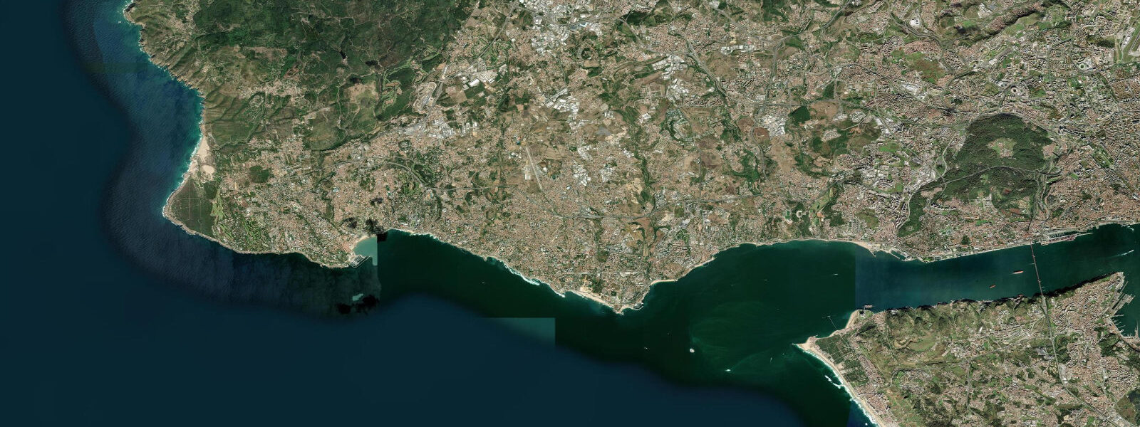
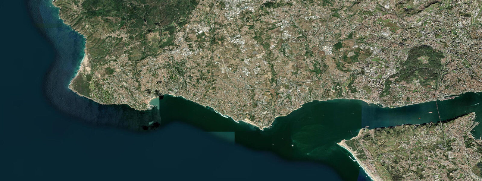
Cascais is 30 kilometres west of Lisbon on the Estoril coast, where the Tagus estuary meets the Atlantic at Cabo da Roca — the westernmost point of continental Europe. The town has a working fishing harbour, a palace-turned-museum, and beaches facing north into the sheltered bay (protected from Atlantic swell) and west toward the open ocean. Tidal range is macrotidal by Iberian standards: mean spring range around 3.0 metres, with springs reaching 3.8 m. The Atlantic exposure and strong tidal range make Cascais one of the most tide-aware beach towns in Portugal.
The Boca do Inferno (Mouth of Hell) — a sea arch carved by Atlantic waves from the limestone cliff 2 km west of town — is the most dramatic geological feature near Cascais. At high water in swell conditions, waves compress through the arch and explode upward through the blowhole; the spectacle is safe to observe from the cliff path. At low water the arch and the sea cave behind it are accessible by rock scramble from the beach level. The tidal state determines which experience is available.
Surf at Cascais is primarily at Praia do Guincho — a 9-km Atlantic beach 10 km west of the town, famous for consistent northwest swell and the persistent afternoon wind that makes it the premier windsurfing and kitesurfing beach near Lisbon. The wind funnels off Cabo da Roca and accelerates along the beach; 20 to 35 knots is the summer afternoon norm. The surf is strong, the water cold (15 to 18°C year-round due to the Canary Current upwelling), and the beach is backed by dunes on the Sintra-Cascais Natural Park.
The town beaches (Praia da Rainha, Praia de Cascais) face east and are sheltered from Atlantic swell; they're swimming beaches for families with calm water even in significant swell conditions. The fishing harbour in the centre of town operates independently of the resort beach culture — lobster and barnacle (percebes, the Galician-style barnacles that grow on Atlantic rock faces) are sold at the harbour fish market in the morning.
Percebes harvesting on the Atlantic cliffs west of Cascais is a low-water exercise. The goose barnacles grow on the most exposed, wave-battered rocks; harvesters (percebeiros) work the lowest sections accessible only at spring low tides, between waves. It is dangerous work — the Portuguese coast has significant casualties among percebeiros. The barnacles sold at Lisbon and Cascais restaurants come from this tradition.
Predictions on this page come from Open-Meteo Marine, a gridded global ocean model, cross-referenced with Instituto Hidrográfico predictions. For the most accurate Portuguese tide predictions, consult the Instituto Hidrográfico at hidrografico.pt.
Tide questions about Cascais
Quick answers to the most common questions about tide times, range, and water access at Cascais.
What is the tidal range at Cascais?
Cascais has one of the larger tidal ranges in Portugal — mean spring range approximately 3.0 metres, with maximum springs reaching 3.8 m. The range is macrotidal by European standards and significantly affects beach width (the sheltered town beaches can lose half their sand at high water) and Atlantic cliff access (the Boca do Inferno sea cave and the rock platforms west of town are only safely accessible around low water spring tides).
What is the Boca do Inferno?
Boca do Inferno (Mouth of Hell) is a sea arch in the limestone cliffs 2 km west of Cascais, where Atlantic waves have carved a cave and arch system that explodes in spray when swell compresses through the blowhole at high tide. At low water spring tides, the arch and cave interior are accessible by foot from the cliff base. The observation platform above is safe year-round; at high water in Atlantic swell the explosions from the blowhole can exceed 20 metres.
Is Praia do Guincho good for windsurfing?
Praia do Guincho is one of the premier windsurfing and kitesurfing beaches in Europe. The consistent afternoon northwest wind (the nortada) accelerates around Cabo da Roca and along the beach, producing 20 to 35 knots from May through September reliably. The same wind creates challenging conditions for swimming — red flag days are frequent in summer. Several windsurf schools and rental shops operate at the beach access. The Rip Curl Pro Portugal surf contest was previously held on this coast.
What are percebes?
Percebes (gooseneck barnacles, Pollicipes pollicipes) are a shellfish delicacy harvested from Atlantic cliff faces where wave action is most extreme. They grow in tight colonies on the most exposed basalt and limestone surfaces; harvesters (percebeiros) work the lowest spring tide zones between breaking waves with a specific prying tool. The barnacles are cooked in salted water and eaten by snapping the stalk to expose the flesh inside. They're expensive (€20 to €60/kg at restaurants) due to the danger and skill of the harvest. Best eaten at Cascais harbour fish restaurants.
How do I get to Cascais from Lisbon?
The Linha de Cascais suburban rail runs from Lisbon's Cais do Sodré station to Cascais in about 40 minutes (roughly every 30 minutes, €2.25 one way). This is the most practical option; the train runs along the Tagus shore via Belém and Estoril. By car, the A5 motorway takes 30 to 40 minutes from Lisbon (traffic-dependent). Cascais centre is compact and walkable; Praia do Guincho (10 km west) requires a bus or hire car.
8-day tide table — Cascais
Heights relative to MSL. Predictions: Open-Meteo Marine (MeteoFrance SMOC, 0.08° grid) — heights relative to MSL (not chart datum / LAT). Model-derived.
| Day | Type | Time | Height |
|---|---|---|---|
| Fri 19 Jun | Low | 01:00 | -1.6m |
| High | 06:07 | 0.7m | |
| Low | 12:05 | -1.5m | |
| High | 18:26 | 1.0m | |
| Sat 20 Jun | Low | 00:52 | -1.6m |
| High | 07:02 | 0.6m | |
| Low | 13:00 | -1.3m | |
| High | 19:18 | 0.8m | |
| Sun 21 Jun | Low | 01:46 | -1.4m |
| High | 07:58 | 0.4m | |
| Low | 13:57 | -1.2m | |
| High | 20:18 | 0.6m | |
| Mon 22 Jun | Low | 02:45 | -1.3m |
| High | 09:00 | 0.3m | |
| Low | 15:00 | -1.1m | |
| High | 21:17 | 0.4m | |
| Tue 23 Jun | Low | 03:44 | -1.2m |
| High | 10:03 | 0.3m | |
| Low | 16:06 | -1.0m | |
| High | 22:23 | 0.3m | |
| Wed 24 Jun | Low | 04:42 | -1.1m |
| High | 11:03 | 0.3m | |
| Low | 17:17 | -1.0m | |
| High | 23:26 | 0.3m | |
| Thu 25 Jun | Low | 05:38 | -1.1m |
| High | 11:57 | 0.4m | |
| Low | 18:11 | -1.1m | |
| Fri 26 Jun | High | 00:00 | 0.3m |