Figueira da Foz, Centro Coast tide times
Figueira da Foz, Centro Coast tide forecast — heights relative to MSL.
Today's tide times for Figueira da Foz, Centro Coast
Tide times at Figueira da Foz, Centro Coast on Saturday, 20 June 2026: first low tide at 01:00, first high tide at 07:15, second low tide at 13:14, second high tide at 19:32. Sunrise 06:05, sunset 21:07.
Tide chart for Figueira da Foz, Centro Coast
24-hour cosine-interpolated curve around the present moment. Heights relative to MSL. Predictions: Predictions: Open-Meteo Marine (MeteoFrance SMOC, 0.08° grid).
Sun, moon and conditions on Sat 20 Jun
Snapshot at build time — refreshes daily. Sea state from Open-Meteo Marine.
Highs and lows next 7 days
Every predicted high and low for the next week, with the daily tidal coefficient (0–120; higher = bigger swing, > 95 means stronger currents).
Other spots nearby
The three closest curated TideTurtle locations to Figueira da Foz, Centro Coast, measured by great-circle distance.
Today's solunar windows
Solunar tradition: major periods are the ≈3h windows around moon transit and opposition; minor are ≈2h around moonrise and moonset. Pair with the local tide stage and wind for the best read.
Cycle dates near Figueira da Foz, Centro Coast
Last spring tide on Sat 20 Jun (range 2.5m). Next spring tide on Fri 26 Jun (range 1.7m). Next neap on Wed 24 Jun.
Spring tides cluster around new and full moons (biggest swings). Neap tides land on quarter moons (smallest swings). See the spring tide and neap tide glossary entries for the why.
About tides at Figueira da Foz, Centro Coast
A short guide to the coastline at Figueira da Foz, Centro Coast — geography, sea state, and what the tide is actually doing under your feet.
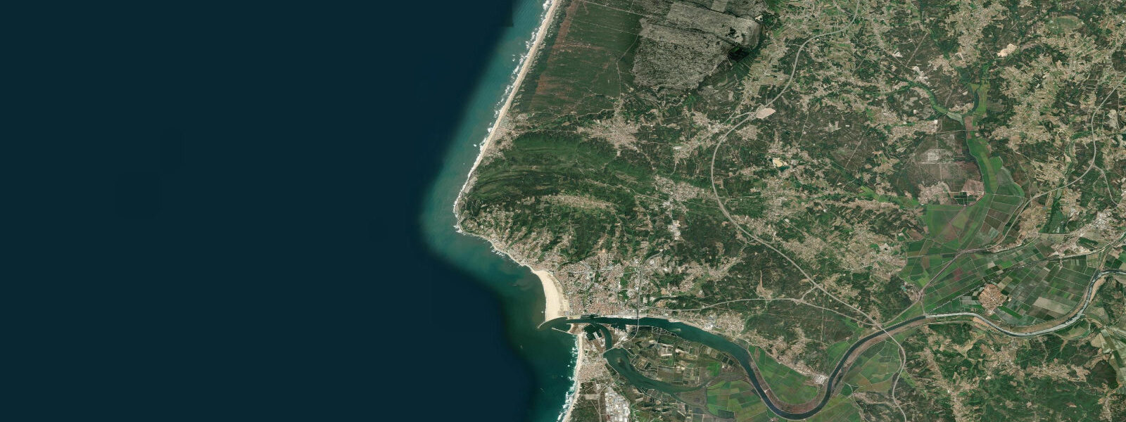
Figueira da Foz sits where the Rio Mondego meets the Atlantic, 220 km north of Lisbon. It is simultaneously Portugal's widest beach resort (the main beach runs more than 3 km without interruption), a significant commercial and fishing port, and an estuary mouth where tidal dynamics and river discharge interact in ways that directly affect how and when the harbour is usable.
The semidiurnal tidal range here is 3.0 to 3.5 m on spring tides — among the larger ranges on the Portuguese coast. Two cycles daily, predictable, with springs running close to 3.8 m in the equinoctial weeks. Mean neap range drops to about 1.0 to 1.2 m. That difference between spring and neap is operationally significant: on neap tides the beach at Buarcos to the north may only extend 60 to 80 m from the dune toe; on spring low water the same beach stretches more than 150 m of flat hard-packed sand, wide enough to walk three abreast without touching wet ground.
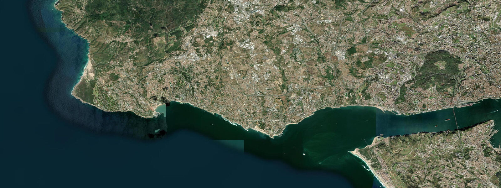
The Mondego estuary bar is the defining hydrodynamic feature of Figueira da Foz. A submerged sandbar at the river mouth builds and shifts continuously with swell direction, river discharge, and tidal state. After a winter flood on the Mondego — the river drains a large catchment in the Serra da Estrela mountains — the bar migrates and the entrance channel deepens temporarily on the river's outflow energy. In dry summers, reduced freshwater discharge lets longshore drift rebuild the bar, shallowing the entrance. The harbour's approach depth for large vessels is restricted to periods around high water regardless of season; the port authority dredges periodically but the bar reasserts itself. Artisanal fishing boats with shallow draft cross freely at any state of the tide in calm conditions; the 3,000-tonne coastal freighters that use the commercial quay wait for high water.
The Forte de Santa Catarina stands at the southern entrance to the harbour channel, a 17th-century artillery fort built on the riverbank at precisely mean high-water level. At spring high tide, the water reaches the base of the fort walls on the river side. At low water spring tide, the mudflats and sand shelves on the estuarine side are exposed — these are traditional clamming and cockle grounds, worked by local families in the hours around low water. The cockle (berbigão) is a staple of the local restaurants.
Buarcos beach is the northern section of the main beach strand, facing the open Atlantic directly. The beach is oriented roughly north-south, which means it catches northwest swell cleanly. The surf here can be significant in autumn and winter — 2 to 3 m faces are common in October through March, and the beach is used by intermediate to experienced surfers. The same northwesterly swell that builds the surf also drives longshore drift south, feeding the bar at the river mouth. On flat summer days, Buarcos is a family beach; the water temperature runs 17 to 19°C in July and August.
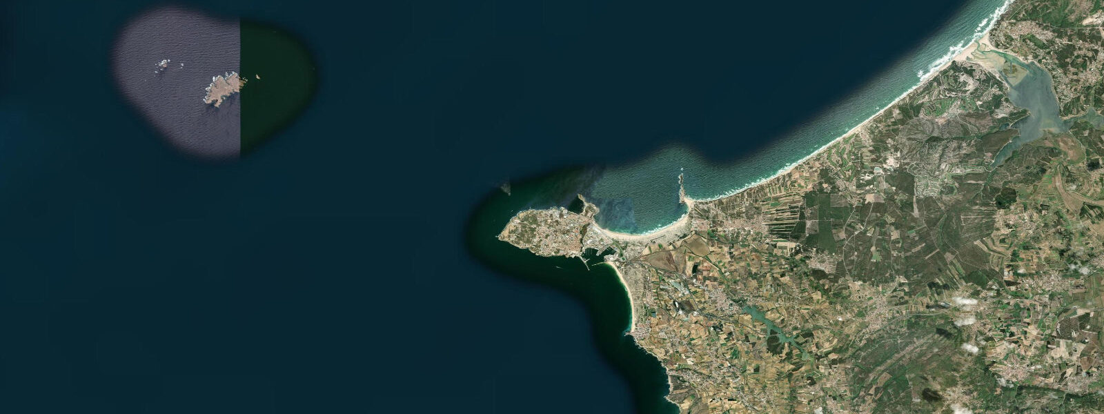
Cape Mondego (Cabo Mondego) — capped by a lighthouse — is 8 km north of Figueira da Foz along a low coastal cliff road. The lighthouse operates automatically; below the cape, a small beach (inaccessible at high water, accessible by scramble at low water) sits at the foot of the cliffs. The cape marks the northern boundary of the Mondego embayment; beyond it the coast becomes more exposed and the tidal streams run more consistently north-south.
For photographers, the most productive window is the two hours around low water on a spring tide in winter afternoon light. The beach extends its full 150-plus metres, the Forte de Santa Catarina is backdropped by the river channel with no beach in the way, and the light from the southwest hits the fort walls cleanly from 15:00 to 17:00 in December and January.
Anglers working the estuary mouth target bass (robalo) and flatfish on the tide change — the 90-minute window around low water slack when current eases and fish move into the shallows to feed. The north breakwater extending from the harbour entrance is a popular shore-fishing position; access is from the port road and the concrete is negotiable in light footwear at any tide. The breakwater's outer end at low water exposes barnacle and mussel growth; regulations prohibit harvesting shellfish within 500 m of the harbour entrance due to water quality.
The commercial port handles timber, paper pulp (Figueira has a large paper mill on the Mondego above the town), and general cargo. The paper mill's cooling water discharge into the river is continuous and warms the estuarine water marginally in winter — a detail that changes where flatfish and mullet congregate in the lower estuary channel.
Tide data for Figueira da Foz, Centro Coast comes from the Open-Meteo Marine API, a gridded model product. Timing accuracy is ±45 minutes, height accuracy ±0.3 m — usable for trip planning, not for navigation.
Tide questions about Figueira da Foz, Centro Coast
Quick answers to the most common questions about tide times, range, and water access at Figueira da Foz, Centro Coast.
How wide does the beach at Figueira da Foz get at low tide?
On a spring low tide, the main beach and Buarcos beach to the north extend more than 150 m from the dune toe — flat, hard-packed sand that is wide enough for ball games, a beach volleyball pitch, or a long uninterrupted walk. On neap low tides the extension is more modest, typically 60 to 80 m. At high water on spring tides, the beach narrows to 40 to 60 m and the dunes are the back boundary. The tidal range here is 3.0 to 3.5 m on springs, one of the larger ranges on the Portuguese coast, and the beach gradient is gentle enough that a 3-metre height difference translates into a significant horizontal distance. The practical implication for families: arrive on the flood and you will have significantly less dry sand than if you arrive an hour before low water.
What is the tidal bar at the Mondego river mouth?
A sandbar builds continuously at the mouth of the Rio Mondego where river outflow meets Atlantic longshore drift and swell. The bar's crest depth changes with river discharge (higher after winter rain, lower in dry summers), swell direction, and the current tidal state. For vessels with significant draft — freighters and larger fishing boats — harbour entry is restricted to the period around high water when the bar is covered by an extra 1.5 to 2.0 m. Small dinghies and kayaks cross the bar at any tide in calm conditions, but the bar zone is the place where breaking waves form even in moderate offshore swell: the shallower the water, the more swell energy concentrates and breaks there. Swimmers should avoid the bar zone regardless of tide.
When is the Forte de Santa Catarina accessible?
The Forte de Santa Catarina is accessible from the quayside road at any state of the tide — it is a land structure, not an island. What changes with the tide is the character of the surroundings. At high water spring tides, the water reaches the base of the fort walls on the river (east) side, giving the impression of a coastal battery floating at the river's edge. At low water spring tides, the estuarine mudflats and sand shelves on the same side are exposed for 100 to 150 m — traditional clamming and cockle-gathering ground worked by local families. The fort's seaward (west) face looks onto the Atlantic beach, which narrows and widens as described above with the tidal cycle.
Is the surf at Buarcos suitable for beginners?
Buarcos beach handles northwest Atlantic swell directly and can produce 2 to 3 m faces in autumn and winter. In those conditions it is intermediate to advanced surf — strong rip currents develop at the river mouth end of the beach, and the bar break at the Mondego entrance is powerful and unpredictable. In summer the beach is calmer and the surf school activity picks up; 0.5 to 1.0 m waves on a clean incoming swell are manageable for supervised learners. The beach is not a protected bay break — conditions can change fast when swell arrives from the northwest. Check the tide table alongside the surf forecast: the beach produces better-shaped waves on a mid-incoming to mid-outgoing tide, when the gradient is steepest and the rips are less concentrated at the river mouth.
When is the best time to fish the Mondego estuary mouth?
The 90-minute window centred on low water slack is the most productive period for bass and flatfish at the estuary mouth. As current eases, fish move into the shallows on the south side of the channel to feed on crabs and sand eels exposed by the falling tide. The north breakwater extending from the harbour entrance provides solid shore access; the outer end at low water gives a longer cast into the deeper channel. On the ebb tide, a slow-sinking lure worked along the channel edge from the breakwater produces bass consistently in autumn. Note that shellfish harvesting is prohibited within 500 m of the harbour entrance due to port water quality regulations. The estuary's mullet population is year-round; they follow the edge of the salt-fresh water interface up and down the river with the tide.
8-day tide table — Figueira da Foz, Centro Coast
Heights relative to MSL. Predictions: Open-Meteo Marine (MeteoFrance SMOC, 0.08° grid) — heights relative to MSL (not chart datum / LAT). Model-derived.
| Day | Type | Time | Height |
|---|---|---|---|
| Sat 20 Jun | Low | 01:00 | -1.7m |
| High | 07:15 | 0.6m | |
| Low | 13:14 | -1.4m | |
| High | 19:32 | 0.8m | |
| Sun 21 Jun | Low | 02:00 | -1.5m |
| High | 08:10 | 0.4m | |
| Low | 14:10 | -1.3m | |
| High | 20:32 | 0.6m | |
| Mon 22 Jun | Low | 02:57 | -1.3m |
| High | 09:12 | 0.3m | |
| Low | 15:12 | -1.1m | |
| High | 21:33 | 0.5m | |
| Tue 23 Jun | Low | 03:56 | -1.2m |
| High | 10:16 | 0.3m | |
| Low | 16:22 | -1.0m | |
| High | 22:36 | 0.4m | |
| Wed 24 Jun | Low | 04:56 | -1.1m |
| High | 11:16 | 0.4m | |
| Low | 17:26 | -1.0m | |
| High | 23:40 | 0.3m | |
| Thu 25 Jun | Low | 05:51 | -1.1m |
| High | 12:13 | 0.4m | |
| Low | 18:26 | -1.1m | |
| Fri 26 Jun | High | 00:36 | 0.4m |
| Low | 06:43 | -1.1m | |
| High | 13:01 | 0.5m | |
| Low | 19:15 | -1.1m | |
| Sat 27 Jun | High | 00:00 | 0.2m |