Krynica Morska tide times
Krynica Morska tide forecast — heights relative to MSL.
Tide chart for Krynica Morska
24-hour cosine-interpolated curve around the present moment. Heights relative to MSL. Predictions: Predictions: Open-Meteo Marine (MeteoFrance SMOC, 0.08° grid).
Sun, moon and conditions on Sun 21 Jun
Snapshot at build time — refreshes daily. Sea state from Open-Meteo Marine.
Highs and lows next 7 days
Every predicted high and low for the next week, with the daily tidal coefficient (0–120; higher = bigger swing, > 95 means stronger currents).
Other spots nearby
The three closest curated TideTurtle locations to Krynica Morska, measured by great-circle distance.
Today's solunar windows
Solunar tradition: major periods are the ≈3h windows around moon transit and opposition; minor are ≈2h around moonrise and moonset. Pair with the local tide stage and wind for the best read.
About tides at Krynica Morska
A short guide to the coastline at Krynica Morska — geography, sea state, and what the tide is actually doing under your feet.
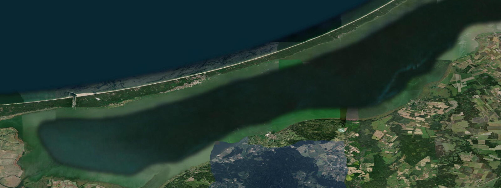
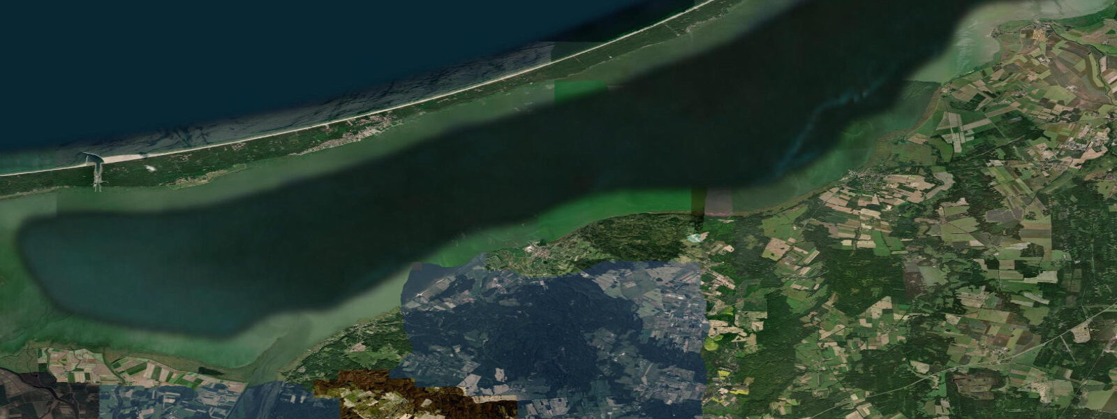
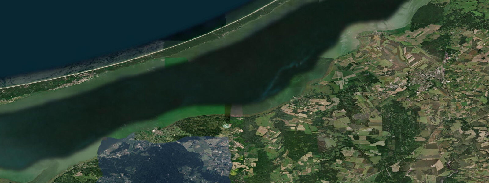
Krynica Morska occupies a section of the Vistula Spit (Mierzeja Wiślana), the narrow sand bar that runs 55 kilometres from the Vistula Delta west to the former Russian-Polish border near Braniewo, separating the Baltic Sea from the Vistula Lagoon (Zalew Wiślany). At the point of Krynica Morska the spit is roughly 1 kilometre wide: the Baltic beach is on the north face, the lagoon shore is on the south face, and the walk between them takes about 15 minutes. The two water bodies present contrasting character.
The Baltic beach faces north-northeast into open water; in a northerly, waves build across the Baltic fetch and arrive on a relatively steeply sloping beach. The lagoon shore is sheltered, shallow (2 to 3 metres average depth), and considerably warmer in summer than the open sea: the lagoon absorbs solar heat rapidly in its shallows and typically runs 3 to 4°C warmer than the Baltic beach in July. For families with young children, the lagoon side offers safer, calmer water.
For open-beach swimming and water sports, the Baltic side provides a more dynamic environment. The resort is the most popular on the Polish Baltic coast east of the Tri-City agglomeration (Gdańsk, Gdynia, Sopot). Summer peak season runs July and August; the town is a major domestic holiday destination for families from Warsaw and the broader Polish interior.
A pedestrian promenade runs along the top of the Baltic dune, and a lighthouse tower (Latarnia Morska Krynica Morska, 44 metres tall, built 1895) at the eastern end of the resort is accessible to visitors for panoramic views over both water bodies simultaneously. The astronomical tide throughout the Vistula Spit and Lagoon is negligible. The Baltic here has a tidal range of 0 to 5 centimetres on the open coast; the lagoon connection to the Baltic is indirect and attenuated, making the tidal signal inside the lagoon even smaller.
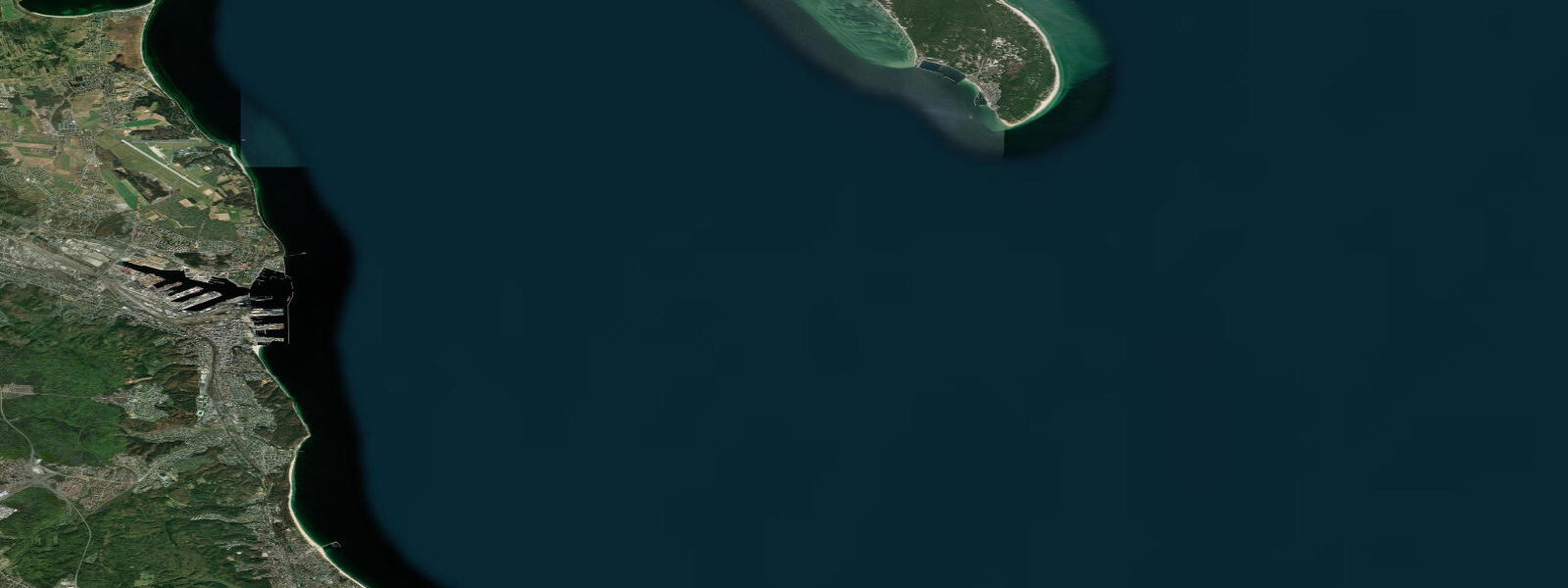
Water level on the Baltic beach is controlled by wind setup and atmospheric pressure; a sustained northerly pushes water against the spit and raises Baltic beach levels, while a sustained southerly lowers them. The lagoon water level is additionally influenced by the Elbląg River and other tributary inflow, and by the wind driving water through the Baltiysk channel and the new Przekop Mierzei canal. The Przekop Mierzei — the canal cut through the Polish section of the Vistula Spit — was completed and opened in September 2022.
3 kilometres long, 5 metres deep, and 50 metres wide, allows Polish vessels to reach the port of Elbląg from the Baltic without transiting Russian waters at Baltiysk (Kaliningrad). Before 2022, any vessel using the Vistula Lagoon had to enter through the single channel at Baltiysk, in the Russian exclave. The canal cut through the spit at a point several kilometres west of Krynica Morska; the project included a road bridge and swing-bridge over the canal to maintain road access along the spit.
The spit landscape itself is distinctive: the dune crest runs the full length, and the 1895 lighthouse tower is the tallest structure visible for kilometres. To the west of Krynica Morska, the Przekop Mierzei canal (opened 2022) is accessible by road and has a visitor viewpoint where vessels transiting the cut can be watched from the bridge. Elbląg, 25 kilometres by road from the western end of the spit, is the main service town; the Elbląg Canal (Kanał Ostródzko-Elbląski), completed 1860, uses a system of inclined planes to carry boats overland between water bodies at different heights — the technology is unique in Europe and still operational for tourist craft in summer.
IMGW (the Institute of Meteorology and Water Management, Poland) operates sea-level gauges along the Polish Baltic coast and the Vistula Lagoon shore. Predictions on this page come from Open-Meteo Marine, a gridded global ocean model. 3 metres on height — substantially exceeds the actual tidal signal.
The values shown reflect weather-driven water-level variation.
Tide questions about Krynica Morska
Quick answers to the most common questions about tide times, range, and water access at Krynica Morska.
What is the tide at Krynica Morska?
The astronomical tide at Krynica Morska is 0 to 5 centimetres — negligible. The Baltic Sea is an enclosed basin with no meaningful oceanic tidal connection. Water level on the Baltic beach here is controlled by wind and atmospheric pressure: a sustained northerly raises the beach waterline; a sustained southerly lowers it. The Vistula Lagoon on the south side of the spit has an even smaller tidal signal, governed by wind, river inflow, and exchange through the Baltiysk channel and the Przekop Mierzei canal. IMGW (the Institute of Meteorology and Water Management) operates the Polish coastal sea-level gauge network.
What is the Przekop Mierzei canal and why was it built?
The Przekop Mierzei (Vistula Spit Canal) is a 1.3-kilometre ship canal cut through the Polish section of the Vistula Spit, opened in September 2022. Before 2022, the Vistula Lagoon had only one sea entrance — the Baltiysk channel in the Russian Kaliningrad exclave. Polish vessels heading to the port of Elbląg had to enter and exit the lagoon through Russian-controlled waters, which required Russian permission and created a sovereignty dependency. The canal gives Poland direct sea access to the lagoon without transiting Russian territory. The project was politically significant both before and after the February 2022 Russian invasion of Ukraine, which removed any practical possibility of Russian cooperation on the channel.
What is the difference between the Baltic beach and the lagoon side at Krynica Morska?
The Baltic north face and the Vistula Lagoon south face are about 1 kilometre apart and behave very differently. The Baltic beach is open to the full northern Baltic fetch — northerly winds bring real waves, the beach profile is steeper, and the water temperature in summer typically runs 17 to 20°C. The lagoon is sheltered, shallow (2 to 3 metres average depth), and warms to 21 to 24°C in July and August. Neither has a meaningful tide; both are controlled by wind and weather. The lagoon is better suited for children and calm-water paddling; the Baltic side for open-water swimming, beach activities, and wind sports.
Where do these predictions come from?
Open-Meteo Marine, a gridded global ocean model; accuracy is typically plus or minus 45 minutes on timing and 0.2 to 0.3 metres on height. At Krynica Morska, where the astronomical tide is 0 to 5 centimetres, the model height uncertainty substantially exceeds the actual tidal signal. The values shown reflect weather-driven and atmospheric water-level variation in the Baltic and Vistula Lagoon. IMGW (Instytut Meteorologii i Gospodarki Wodnej ��— the Institute of Meteorology and Water Management, Poland) operates the Polish coastal sea-level gauge network and is the authoritative source for water-level data along the Vistula Spit and Lagoon shores.
Is this page safe to use for navigation?
No. The Vistula Spit Baltic coastline, the Przekop Mierzei canal approaches, and the Vistula Lagoon all require up-to-date Polish hydrographic charts for vessel navigation. The Przekop Mierzei canal (opened 2022) has a buoyed channel maintained by the Urząd Morski w Gdyni (Maritime Office in Gdynia); the lagoon has designated navigable fairways and areas of shallow soft mud outside them. The Baltic spit shore has longshore sandbar dynamics that shift seasonally. Use Polish Hydrographic Office charts and IMGW (Institute of Meteorology and Water Management) marine and water-level data. Open-Meteo Marine gridded predictions are not authoritative for any vessel operation.
8-day tide table — Krynica Morska
Heights relative to MSL. Predictions: Open-Meteo Marine (MeteoFrance SMOC, 0.08° grid) — heights relative to MSL (not chart datum / LAT). Model-derived.
| Day | Type | Time | Height |
|---|---|---|---|
| Sun 21 Jun | — | ||
| Mon 22 Jun | — | ||
| Tue 23 Jun | — | ||
| Wed 24 Jun | — | ||
| Thu 25 Jun | — | ||
| Fri 26 Jun | — | ||
| Sat 27 Jun | High | 10:00 | -0.1m |
| Sun 28 Jun | Low | 01:00 | -0.1m |