Hel Peninsula tide times
Hel Peninsula tide forecast — heights relative to MSL.
Today's tide times for Hel Peninsula
Tide times at Hel Peninsula on Saturday, 4 July 2026: first low tide at 11:00pm. Sunrise 04:14am, sunset 09:22pm.
Tide chart for Hel Peninsula
24-hour cosine-interpolated curve around the present moment. Heights relative to MSL. Predictions: Predictions: Open-Meteo Marine (MeteoFrance SMOC, 0.08° grid).
Sun, moon and conditions on Sat 04 Jul
Snapshot at build time — refreshes daily. Sea state from Open-Meteo Marine.
Highs and lows next 7 days
Every predicted high and low for the next week, with the daily tidal coefficient (0–120; higher = bigger swing, > 95 means stronger currents).
Other spots nearby
The three closest curated TideTurtle locations to Hel Peninsula, measured by great-circle distance.
Today's solunar windows
Solunar tradition: major periods are the ≈3h windows around moon transit and opposition; minor are ≈2h around moonrise and moonset. Pair with the local tide stage and wind for the best read.
About tides at Hel Peninsula
A short guide to the coastline at Hel Peninsula — geography, sea state, and what the tide is actually doing under your feet.
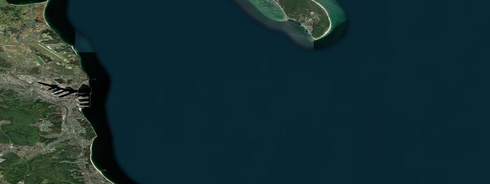
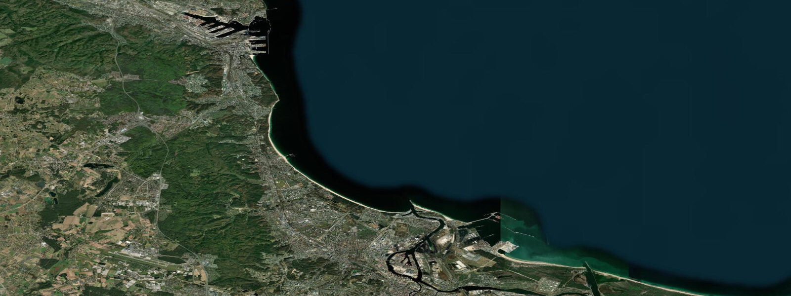
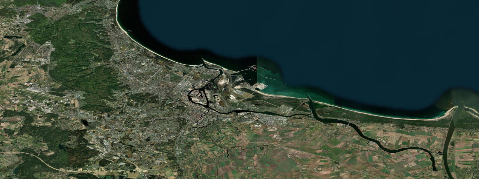
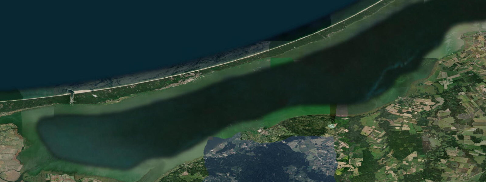
The Hel Peninsula is a narrow 35 km sand spit extending northeast from the Pomeranian coast into the Bay of Gdańsk, enclosing the shallow Puck Bay (Zatoka Pucka) on its southern side and facing the open Baltic on its northern shore. At its narrowest point the spit is barely 200 m wide, and the view from either beach across to the other is unobstructed. The peninsula ends at the town of Hel at the tip, a community of 3,500 permanent residents on a spit barely wide enough to hold a main street.
The wind gap between the open Baltic on the north face and the sheltered Puck Bay on the south is the geographic fact that makes the Hel Peninsula Poland's preeminent water-sports venue. When the Baltic is blowing at 15 to 25 knots from the west or southwest, the northern beach picks up the full fetch-driven sea while the southern bay stays relatively flat — two completely different water conditions separated by 300 m of sand. Kite-surfing and windsurfing schools operate from both sides: the northern beach for big-swell kite sessions; the southern bay for beginners and flat-water disciplines. The conditions are most consistent in spring (March to May) and autumn (September to November) when the Baltic pressure gradient is strongest.
Hel town itself carries a layer of Second World War history that is rarely matched by a community this small. The Hel fortified area was the last section of the Polish coast to surrender to German forces in September 1939 — the garrison held for 32 days after the mainland campaign was effectively over, finally capitulating on 2 October 1939. The coastal battery at Hel (two 152 mm guns) was among the last active defensive positions. A museum at the tip of the peninsula records the defence; the original battery positions are visible.
The Fokarium (seal sanctuary) at Hel houses a rehabilitation colony of grey seals (Halichoerus grypus) and harbour seals (Phoca vitulina) — the Baltic grey seal population was severely reduced in the 20th century and is now recovering under protection. The Fokarium participates in breeding and release programmes and is open to the public.
The Baltic tidal regime at Hel Peninsula is semidiurnal with a spring range of 0.4 to 0.6 m — slightly larger than the microtidal southern Baltic ports because the Bay of Gdańsk has more direct tidal exposure than enclosed bays further west. Wind and storm surge remain the dominant drivers of actual water-level conditions; Baltic autumn and winter storms produce surges that far exceed the astronomical range. Predictions on this page come from Open-Meteo Marine gridded model. The Polish Institute of Meteorology and Water Management (IMGW-PIB) operates the sea-level gauge at Hel and publishes the authoritative tide tables for the Polish Baltic coast.
Tide questions about Hel Peninsula
Quick answers to the most common questions about tide times, range, and water access at Hel Peninsula.
When is the next high tide at Hel Peninsula?
The hero block at the top of this page shows the next predicted high at Hel in local Central European Time (CET/CEST, UTC+1/UTC+2). Hel has a Baltic semidiurnal tide with a spring range of 0.4 to 0.6 m — slightly larger than the enclosed southern Baltic ports. Wind and storm surge dominate over astronomical tide in most sea conditions. The Polish Institute of Meteorology and Water Management (IMGW-PIB) operates the Hel gauge and publishes the authoritative tide tables for the Polish Baltic coast.
What is the tidal range at Hel Peninsula?
Mean spring range at Hel is 0.4 to 0.6 m — the largest on the Polish Baltic coast, due to the Bay of Gdańsk's more direct tidal exposure compared to enclosed southern Baltic bays. Neap range compresses to 0.2 to 0.3 m. Baltic storm surges in autumn and winter can add 0.5 to 1.0 m above the predicted level. The wind gap between the open Baltic north coast and the sheltered Puck Bay south coast creates dramatically different wave and swell conditions on each side simultaneously.
Where do these tide predictions come from?
Open-Meteo Marine, a free gridded global ocean model. At Hel's spring range of 0.4 to 0.6 m, the model's typical accuracy (plus or minus 45 minutes, 0.2 to 0.3 m) is a significant fraction of the total signal. For authoritative Polish Baltic coast tide data, the Polish Institute of Meteorology and Water Management (IMGW-PIB) operates the Hel gauge and publishes harmonic tide tables for principal Polish Baltic ports.
Is Hel Peninsula the best kite-surfing location in Poland?
Hel is consistently rated among the top two or three kite-surfing locations in Poland and the broader southern Baltic. The wind gap between the open Baltic northern beach and the sheltered Puck Bay southern beach creates a choice between sea-state conditions within 300 m of each other. Spring (March to May) and autumn (September to November) deliver the most consistent 15 to 25 knot windows from the west and southwest. The northern beach also has kite-surfing with a genuine swell component in stronger conditions. Several certified schools and rental operations are based in Jurata and Hel town. Water temperature in summer reaches 19 to 21°C on the Baltic side; the shallow bay runs warmer.
Is this safe to use for navigation?
No. TideTurtle is a planning tool for recreational coastal activity, not a navigation resource. The Hel Peninsula tip and the approaches to Gdańsk and Gdynia are active commercial and military shipping zones. The Polish Hydrographic Office (Biuro Hydrograficzne Marynarki Wojennej) publishes charts and Notices to Mariners for Polish Baltic waters. Open-Meteo Marine gridded predictions do not replace authoritative navigation sources.
8-day tide table — Hel Peninsula
Heights relative to MSL. Predictions: Open-Meteo Marine (MeteoFrance SMOC, 0.08° grid) — heights relative to MSL (not chart datum / LAT). Model-derived.
| Day | Type | Time | Height |
|---|---|---|---|
| Sat 04 Jul | Low | 23:00 | 0.1m |
| Sun 05 Jul | — | ||
| Mon 06 Jul | High | 17:00 | 0.2m |
| Tue 07 Jul | — | ||
| Wed 08 Jul | — | ||
| Thu 09 Jul | — | ||
| Fri 10 Jul | — | ||
| Sat 11 Jul | Low | 01:00 | -0.1m |