Gdańsk tide times
Gdańsk tide forecast — heights relative to MSL.
Today's tide times for Gdańsk
Tide times at Gdańsk on Sunday, 21 June 2026: first low tide at 02:00am. Sunrise 04:10am, sunset 09:23pm.
Tide chart for Gdańsk
24-hour cosine-interpolated curve around the present moment. Heights relative to MSL. Predictions: Predictions: Open-Meteo Marine (MeteoFrance SMOC, 0.08° grid).
Sun, moon and conditions on Sun 21 Jun
Snapshot at build time — refreshes daily. Sea state from Open-Meteo Marine.
Highs and lows next 7 days
Every predicted high and low for the next week, with the daily tidal coefficient (0–120; higher = bigger swing, > 95 means stronger currents).
Other spots nearby
The three closest curated TideTurtle locations to Gdańsk, measured by great-circle distance.
Today's solunar windows
Solunar tradition: major periods are the ≈3h windows around moon transit and opposition; minor are ≈2h around moonrise and moonset. Pair with the local tide stage and wind for the best read.
About tides at Gdańsk
A short guide to the coastline at Gdańsk — geography, sea state, and what the tide is actually doing under your feet.
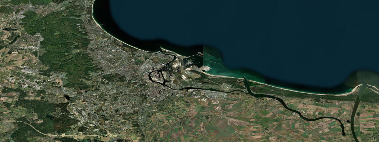
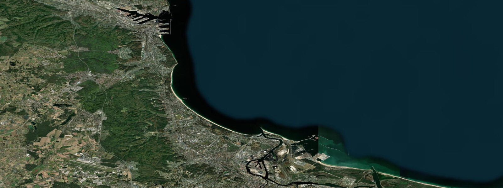
Gdańsk stands at the mouth of the Motlawa River — a branching distributary of the Vistula — where it opens into the Gulf of Gdańsk, a broad coastal embayment of the southern Baltic. The old city's brick-and-stone frontage along Długie Pobrzeże (Long Embankment) is the physical expression of eight centuries of Hanseatic maritime commerce: the Gothic Crane Gate (Żuraw), the largest medieval port crane in northern Europe when it was built in the mid-15th century, still stands on the Motlawa bank. Long Market (Długi Targ) runs from the Green Gate at the river to the Golden Gate at the western wall — the ceremonial centre of the old city, rebuilt from near-total wartime destruction with a precision that makes the reconstruction almost invisible until you know the backstory.
The coastal regime at Gdańsk is Baltic non-tidal. Astronomical tidal range is approximately 0.1 metres. Sea level in the Gulf of Gdańsk responds to wind, atmospheric pressure, and Baltic seiches rather than to any meaningful tidal forcing. Sustained westerly and northwesterly winds — the direction of the prevailing Baltic weather systems — push water toward the northeastern Baltic and raise sea levels along the Gdańsk coast; strong easterlies reverse the pattern. Wind-driven setup at Gdańsk can reach 0.8 to 1.5 metres above mean in major Baltic storms, occasionally affecting the low-lying embankments of the old city along the Motlawa. The IMGW-PIB (Instytut Meteorologii i Gospodarki Wodnej) operates the coastal gauge network and issues storm-surge warnings for the Polish coast; the forecast at imgw.pl is the operative planning source.
The Gdańsk Shipyard — the Stocznia Gdańska — stands north of the old city on the Martwa Wisła. In August 1980, a strike there became the catalyst for the Solidarność (Solidarity) movement: 17,000 workers occupied the yard, Lech Wałęsa climbed the gate to join them, and the 21 Points of the Gdańsk Agreement were negotiated with the communist authorities over nine days. The agreement, recognising the right to independent trade unions, was the first breach in communist control of a Soviet-bloc state. The European Solidarity Centre (ECS), opened in 2014 in a building clad in weathering steel that references the colour of the old shipyard cranes, houses the comprehensive museum of the Solidarity movement and its aftermath. It is one of the most significant historical museums in Europe.
Westerplatte, 7 kilometres north of the old city at the harbour mouth where the Martwa Wisła discharges to the Gulf, is where the Second World War began. At 4:48 am on 1 September 1939, the German training ship Schleswig-Holstein — moored at the Gdańsk harbour on a supposed courtesy visit — opened fire on the Polish Military Transit Depot on the Westerplatte peninsula. The garrison of approximately 180 Polish soldiers held the position for seven days against forces that ultimately numbered in the thousands, before surrendering on 7 September. The ruined fortifications, a memorial park, and a museum mark the site, accessible by seasonal ferry from the old city waterfront or by road.
The Motlawa River quay is navigable by tourist boats and private vessels throughout the summer season. The river connects to the Gdańsk canal system and to the outer harbour. Sea-level variation of 0.1 to 0.5 metres above mean changes the visual relationship between the boats and the Crane Gate embankment and occasionally affects the clearance under the lower bridges in high-surge conditions, but does not create the kind of tidal current or tidal window planning that governs waterfront navigation on Atlantic coasts. Small boat operations in the Motlawa are weather-dependent rather than tide-dependent.
For swimmers and beach visitors, the main Gdańsk beaches are in the Brzeźno and Jelitkowo districts north of the city centre, accessible by tram. The Gulf of Gdańsk beach stretches north from the city toward Sopot and Gdynia; water temperature reaches 18 to 23 degrees Celsius in July and August in warm years. The Baltic's gentle Baltic gradient and absence of tidal current make the beach suitable for families; the only significant water-safety variable is the wind state and any storm-surge elevation.
Sea-level predictions on this page come from Open-Meteo Marine, a global gridded ocean model, typically accurate to within plus or minus 45 minutes and 0.2 to 0.3 metres. At Gdańsk, where the astronomical range is approximately 0.1 metres, the model uncertainty exceeds the signal. For actual sea-level conditions, use IMGW-PIB coastal forecasts and gauge data at imgw.pl.
Tide questions about Gdańsk
Quick answers to the most common questions about tide times, range, and water access at Gdańsk.
Does Gdańsk have a real tide to plan around?
No. The astronomical tidal range at Gdańsk is approximately 0.1 metres — Baltic physics eliminate any meaningful tide. Sea level in the Gulf of Gdańsk is driven by wind, atmospheric pressure, and Baltic seiches. Wind-driven setup from westerly storms can raise sea levels by 0.8 to 1.5 metres above mean. IMGW-PIB (Institute of Meteorology and Water Management) publishes coastal sea-level forecasts and storm-surge warnings at imgw.pl — this is the operative tool for anyone going on or near the water at Gdańsk.
What is the European Solidarity Centre and why does it matter?
The European Solidarity Centre (ECS) is a museum and civic institution on the Gdańsk Shipyard site, opened in 2014. It documents the Solidarity (Solidarność) movement born at the shipyard in August 1980, when striking workers led by Lech Wałęsa negotiated the Gdańsk Agreement — the first recognition of independent trade unions in a Soviet-bloc state. The museum traces the movement's history from the strike through to the 1989 Roundtable negotiations and the fall of communism in Poland. The building itself, clad in weathering Corten steel referencing the old shipyard cranes, is architecturally significant. It is located a 20-minute walk north of the old city on the shipyard grounds.
How do I get to Westerplatte from Gdańsk?
Westerplatte peninsula, site of the first battle of the Second World War on 1 September 1939, is approximately 7 kilometres north of the old city waterfront. The most atmospheric route is by seasonal tourist ferry from the Długie Pobrzeże embankment in front of the Crane Gate (Żuraw), running in summer (May through October). The crossing takes 30 to 40 minutes through the harbour and Martwa Wisła channel. Bus line 106 also connects the old city to Westerplatte. The site has a memorial park, the ruins of the Polish garrison buildings, and a museum documenting the seven-day defence by approximately 180 Polish soldiers against several thousand German troops.
When is the best time to visit Gdańsk's beaches?
The main beach season runs from late June through August, when the Gulf of Gdańsk water temperature reaches 18 to 23 degrees Celsius in warm years. The Brzeźno and Jelitkowo beach districts north of the city are accessible by tram (lines 13 and 15 from the old city). The beaches extend continuously northward through Sopot to Gdynia. There is no tidal variation to consider — the waterline changes only with wind and weather. Calm southwesterly days produce the flattest water and the best swimming conditions; northerly wind events can raise wave height to 0.5 to 1.0 metres on the open beach.
Is this sea-level information safe to use for navigation in Gdańsk Harbour?
No. Gdańsk is one of the largest commercial ports on the Baltic, with active container, bulk, and naval traffic. Navigation within the harbour and the Martwa Wisła channel is regulated by the Port of Gdańsk Authority (Zarząd Morskiego Portu Gdańsk) with full VTS coverage. Open-Meteo Marine gridded predictions are not a substitute for official IMGW-PIB sea-level data, Polish Hydrographic Office (Biuro Hydrograficzne MW) charts, or port authority procedures. For vessel operations, contact the Port of Gdańsk VTS on VHF channel 12. For recreational paddlers on the Motlawa and inner waterways, consult current IMGW-PIB sea-level conditions and the weather forecast rather than tide predictions.
8-day tide table — Gdańsk
Heights relative to MSL. Predictions: Open-Meteo Marine (MeteoFrance SMOC, 0.08° grid) — heights relative to MSL (not chart datum / LAT). Model-derived.
| Day | Type | Time | Height |
|---|---|---|---|
| Sun 21 Jun | Low | 02:00 | -0.2m |
| Mon 22 Jun | — | ||
| Tue 23 Jun | High | 10:00 | -0.1m |
| Wed 24 Jun | — | ||
| Thu 25 Jun | — | ||
| Fri 26 Jun | — | ||
| Sat 27 Jun | — | ||
| Sun 28 Jun | Low | 01:00 | -0.1m |