La Union Beach tide times
La Union Beach tide forecast — heights relative to MSL.
Today's tide times for La Union Beach
Tide times at La Union Beach on Sunday, 21 June 2026: first low tide at 08:00, first high tide at 13:10, second low tide at 21:45. Sunrise 05:26, sunset 18:33.
Tide chart for La Union Beach
24-hour cosine-interpolated curve around the present moment. Heights relative to MSL. Predictions: Predictions: Open-Meteo Marine (MeteoFrance SMOC, 0.08° grid).
Sun, moon and conditions on Sun 21 Jun
Snapshot at build time — refreshes daily. Sea state from Open-Meteo Marine.
Highs and lows next 7 days
Every predicted high and low for the next week, with the daily tidal coefficient (0–120; higher = bigger swing, > 95 means stronger currents).
Other spots nearby
The three closest curated TideTurtle locations to La Union Beach, measured by great-circle distance.
Today's solunar windows
Solunar tradition: major periods are the ≈3h windows around moon transit and opposition; minor are ≈2h around moonrise and moonset. Pair with the local tide stage and wind for the best read.
About tides at La Union Beach
A short guide to the coastline at La Union Beach — geography, sea state, and what the tide is actually doing under your feet.
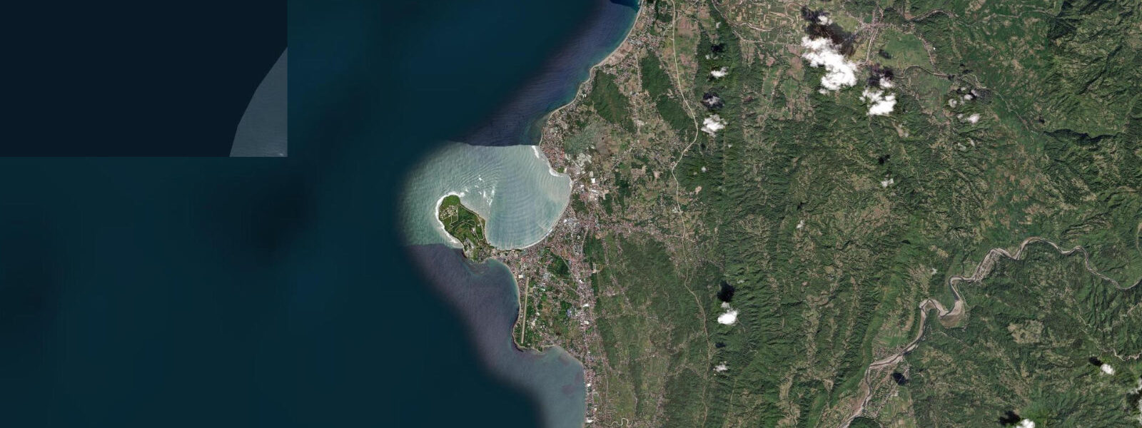
La Union refers to the cluster of surf spots concentrated around San Fernando city and the adjacent municipalities of Bauang and San Juan on the northwest coast of Luzon, 260 kilometres north of Manila. This is the closest accessible surf coast to the capital, four to five hours by road via the North Luzon Expressway (NLEX) and the Tarlac–Pangasinan–La Union Expressway (TPLEX). 5 metre beach break, peaking around December and January on the largest swell events.
The main breaks are at Monaliza Point in San Juan municipality, Urbiztondo Beach in San Juan, and Bacnotan beaches further north. Monaliza Point is the most consistent: a sandy point that bends the swell and focuses it into a right-hander with shoulder-to-head-high faces on the best days of the season. Urbiztondo Beach in front of the Urbiztondo stretch of San Juan — the street with the highest concentration of surf schools, board rental shops, and beach restaurants — is the training break, a shorter, more forgiving beach break suitable for beginners.
2 metres. The wave quality at La Union is far more swell-direction and wind-sensitive than tide-sensitive, but the tidal state does shift the break position relative to the sandbar. The optimum window at Monaliza Point is typically on a mid-to-low incoming tide: the bar is still exposed enough to make the wave stand up and steepen, and the small additional depth on the rising tide smooths the takeoff.
At high tide the wave tends to flatten and push through without breaking cleanly. The offshore wind from the NE monsoon (blowing onshore from northeast to southwest by the time it wraps the coast) can be a limiting factor — the lightest wind is typically the early morning before the trade picks up. Dawn patrol in December and January is the standard window.
The road from Manila takes 4 to 5 hours avoiding peak hours; the expressways have reduced the commute substantially from the old Route 3 trunk road. Manila-based surfers treat La Union as the weekend escape; the town of San Fernando has become a well-developed secondary city with accommodation from backpacker guesthouses to mid-range hotels. The swell season overlaps with Christmas and New Year, making January the most crowded month in the water.
Outside swell season (April through September, SW monsoon), the coast goes flat and the surfing stops; La Union pivots to swimming beaches, kiteboarding on the northern Bauang coast, and the Poro Point beach park. Shore fishing along the La Union coast targets pompano, sea bass, and trevally from the rocky points north of Urbiztondo; the incoming tide in the late afternoon, running from roughly 2 hours before high water, is the standard productive window for the sandy beach casters working the wave zone. The Ilocos region further north, accessible in a day trip from La Union, holds the heritage city of Vigan (UNESCO World Heritage) and the Paoay Church, both significant cultural destinations.
Bangui Windmill Farm in Ilocos Norte (3 hours north of La Union) is a common add-on to the La Union circuit. 3 metres on height. PAGASA publishes authoritative tide predictions for La Union (San Fernando) gauge.
Tide questions about La Union Beach
Quick answers to the most common questions about tide times, range, and water access at La Union Beach.
When is surf season at La Union Beach?
Surf season at La Union runs from approximately October through March, driven by the NE monsoon (Amihan) swell arriving from the South China Sea. December and January are the most consistent months, with Monaliza Point and Urbiztondo Beach receiving 0.5 to 1.5 metre beach break on the best swells. The SW monsoon (Habagat) from June through September shuts the coast down — wind is onshore from the wrong direction and swell angles from the south do not reach the northwest-facing coast. The shoulder months of October–November and February–March give occasional good days with lower crowds.
What tidal state is best for surf at Monaliza Point?
The best wave quality at Monaliza Point is typically on a mid-to-low incoming tide. At this stage the sandbar is exposed enough to make the swell stand up and break with a defined face; as the tide fills toward high water the wave tends to flatten and push through without forming a clean takeoff. The tidal range is modest — spring range approximately 0.8 to 1.2 metres on the South China Sea side — so the tide window is not as critical as swell direction and wind. Earliest morning before the northeast trade wind fully establishes is the preferred session for clean wave face.
How do I get to La Union from Manila, and where are the main surf spots?
Drive north on the North Luzon Expressway (NLEX) then the Tarlac–Pangasinan–La Union Expressway (TPLEX) to San Fernando city, then south into San Juan municipality — total approximately 260 km, 4 to 5 hours outside peak hours. The surf centre is the Urbiztondo Beach stretch in San Juan municipality, roughly 15 km south of San Fernando city proper. Monaliza Point is the right-hand point break at the northern end of the San Juan surf strip; Urbiztondo Beach in front is the beginner beach break. Bacnotan, 10 km north, has additional beach breaks that work on larger NW swell windows.
Where do these tide predictions come from?
Open-Meteo Marine, a gridded global ocean model; accuracy is typically ±45 minutes on timing and ±0.2 to 0.3 metres on height. The model estimates tidal height across a geographic grid rather than from harmonic analysis of the San Fernando gauge record. PAGASA (Philippine Atmospheric, Geophysical and Astronomical Services Administration) publishes authoritative tide predictions for San Fernando (La Union) gauge. For surf planning specifically, the PAGASA wave and wind forecast for Lingayen Gulf and the Luzon northwest coast is more operationally relevant than the tide prediction — swell height, period, and wind direction determine whether La Union works on any given day, not the tide table.
Is this safe to use for navigation?
No. San Fernando Bay and the coastline along San Juan and Bauang municipalities are active commercial and fishing waterways, with seasonal ferry and cargo traffic at San Fernando Port. The shallow-sand inshore areas along the surf break at Urbiztondo and Monaliza Point have variable depth that changes with swell-season sand bar migration. For vessel operations along the La Union coast, use NAMRIA Philippine charts and consult PAGASA marine forecasts and tide predictions for San Fernando gauge. TideTurtle is a planning and activity reference; these predictions are not calibrated to local gauge data and should not be used for navigational decisions.
8-day tide table — La Union Beach
Heights relative to MSL. Predictions: Open-Meteo Marine (MeteoFrance SMOC, 0.08° grid) — heights relative to MSL (not chart datum / LAT). Model-derived.
| Day | Type | Time | Height |
|---|---|---|---|
| Sun 21 Jun | Low | 08:00 | 0.8m |
| High | 13:10 | 1.1m | |
| Low | 21:45 | 0.5m | |
| Mon 22 Jun | High | 13:50 | 0.9m |
| Low | 21:45 | 0.6m | |
| Tue 23 Jun | — | ||
| Wed 24 Jun | — | ||
| Thu 25 Jun | High | 05:06 | 1.1m |
| Low | 15:00 | 0.6m | |
| Fri 26 Jun | — | ||
| Sat 27 Jun | — | ||
| Sun 28 Jun | High | 07:00 | 1.3m |