Anilao tide times
Anilao tide forecast — heights relative to MSL.
Today's tide times for Anilao
Tide times at Anilao on Sunday, 21 June 2026: first low tide at 08:00, first high tide at 14:00, second low tide at 21:50. Sunrise 05:30, sunset 18:25.
Tide chart for Anilao
24-hour cosine-interpolated curve around the present moment. Heights relative to MSL. Predictions: Predictions: Open-Meteo Marine (MeteoFrance SMOC, 0.08° grid).
Sun, moon and conditions on Sun 21 Jun
Snapshot at build time — refreshes daily. Sea state from Open-Meteo Marine.
Highs and lows next 7 days
Every predicted high and low for the next week, with the daily tidal coefficient (0–120; higher = bigger swing, > 95 means stronger currents).
Other spots nearby
The three closest curated TideTurtle locations to Anilao, measured by great-circle distance.
Today's solunar windows
Solunar tradition: major periods are the ≈3h windows around moon transit and opposition; minor are ≈2h around moonrise and moonset. Pair with the local tide stage and wind for the best read.
Cycle dates near Anilao
Last spring tide on Sun 21 Jun (range 0.9m). Next spring tide on Sat 27 Jun (range 1.2m). Next neap on Mon 22 Jun.
Spring tides cluster around new and full moons (biggest swings). Neap tides land on quarter moons (smallest swings). See the spring tide and neap tide glossary entries for the why.
About tides at Anilao
A short guide to the coastline at Anilao — geography, sea state, and what the tide is actually doing under your feet.
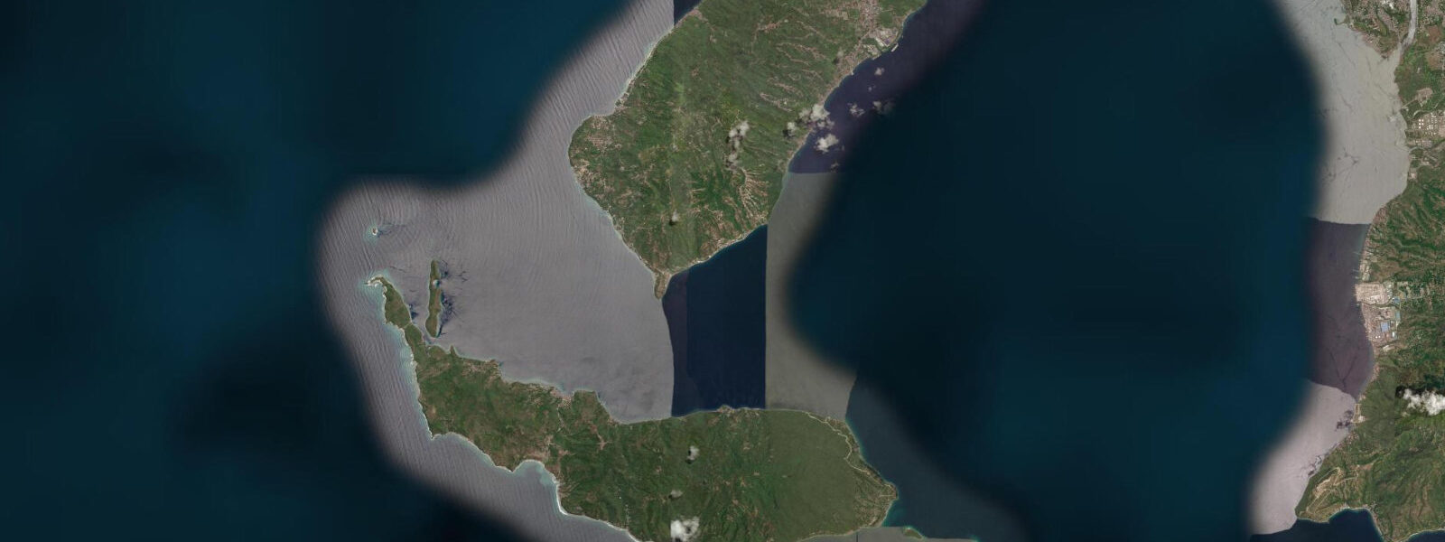
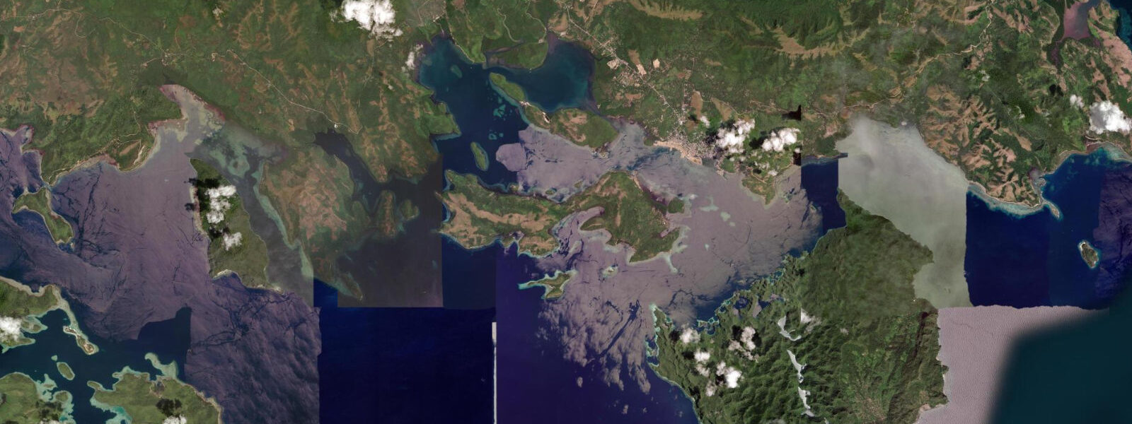
5 hours by car). The dive sites cluster along the headlands and rocky points of Mabini Peninsula, a short boat ride from the resort jetties. The Verde Island Passage, the 11-kilometre-wide channel separating Batangas from the coast of Oriental Mindoro to the south, runs through the water directly in front of Anilao.
Marine biologists studying the passage's biodiversity have catalogued species density that exceeds any other comparable area so far measured — the convergence of nutrient-rich upwellings, tidal exchange, and the bathymetric complexity of the passage creates a diversity hotspot that holds significance beyond its small geographic footprint. For divers the relevant expression of this is the macro-photography and muck-diving reputation of sites like Mainit, Teruel's Cove, Secret Bay, and the Sepok Wall area. Nudibranchs, frogfish, mantis shrimp, ghost pipefish, flamboyant cuttlefish, pygmy seahorses, and rare cephalopods appear in concentrations that consistently attract underwater photographers from across Asia and beyond.
5 metres; the Verde Island Passage tidal current is the more operationally significant variable. The passage runs 1 to 2 knots on springs; on the exposed pinnacle sites and the channel walls, a strong ebb or flood makes it difficult to hold position for the slow methodical search that macro-photography requires. Dive operators and guides time their pinnacle dives to coincide with slack water — the 20 to 30 minutes either side of the predicted high or low — or on neap tides when the current is manageable throughout the dive.
The muck sites in sheltered coves are less current-affected and can be dived at most tidal stages. The topography of the dive sites ranges from the shallow muck floors at 5 to 15 metres (Secret Bay, Mainit, Arthur's Rock at low water) to the deep wall sections of Sepok that begin at 10 metres and drop to sport-diving limits. The best macro shooting conditions combine slack or neap current, flat sea surface, and low ambient light from a slightly overcast sky — high contrast sunlight backscatters on fine suspended particles and reduces image quality.
Whale sharks are occasionally sighted in the Verde Island Passage, more frequently in the November to February period when cooler, clearer water from the NE monsoon increases plankton visibility and surface aggregations. The road approach from Manila via the STAR Tollway to Batangas City and then through Calatagan and Tingloy barangay road is standard weekend-trip logistics — most Manila-based divers arrive Saturday morning and depart Sunday afternoon, doing two tank dives each day. Dedicated photographers extend to three or four days.
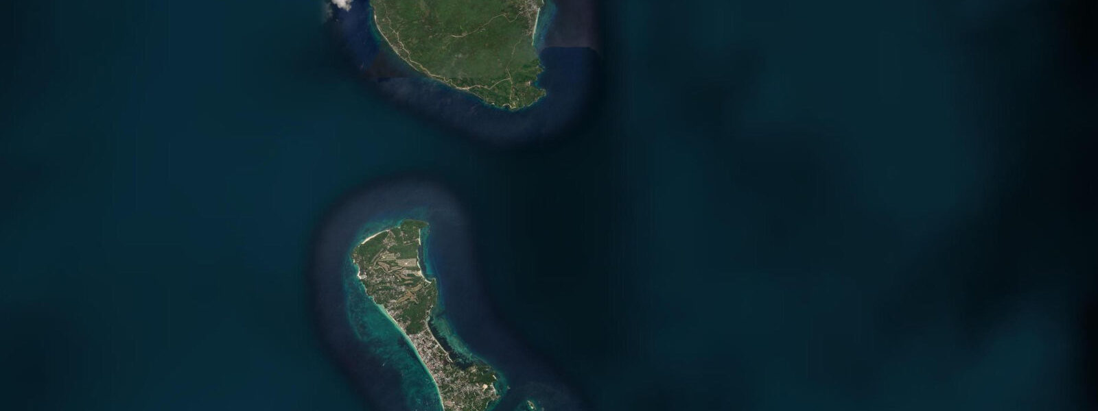
The dive season runs year-round, but visibility and sea conditions are most consistently good from November through May. The Verde Island Passage dive sites share the water with significant inter-island ferry traffic between Batangas Port and Puerto Galera on Mindoro; dive boats using the outer passage sites keep current ferry schedules in mind when planning surface intervals. The Puerto Galera side of the passage, roughly 11 km south-southwest of Anilao's outer sites, has its own dive infrastructure and is accessible by ferry from Batangas Port in 45 minutes.
Anglers working the Balayan Bay approaches west of Anilao target yellowfin tuna and wahoo in season using the tidal current edges where upwelling concentrates bait; the turn of the tide at the Balayan Bay entrance is the key timing reference. 3 metres on height. PAGASA operates tide gauges at Manila Bay and Batangas Port; the nearest authoritative harmonic station to Anilao is at Batangas, approximately 30 km east.
Tide questions about Anilao
Quick answers to the most common questions about tide times, range, and water access at Anilao.
Why is Anilao considered one of the world's best macro-diving destinations?
Anilao sits on the edge of Verde Island Passage, a channel whose documented marine species density is among the highest measured anywhere on Earth. The convergence of upwellings, nutrient flows, tidal exchange, and bathymetric complexity sustains extraordinary concentrations of small and rare species: nudibranchs (700-plus species documented in the Philippines), frogfish, pygmy seahorses, mantis shrimp, ghost pipefish, flamboyant cuttlefish, and rare cephalopods. The muck-diving sites — primarily rubble and black-sand slopes at 5 to 20 metres — concentrate cryptic species in ways that reef walls do not. The international underwater photography community rates Anilao consistently in the top five global macro destinations.
When should I time my dives to avoid Verde Island Passage current?
The Verde Island Passage runs 1 to 2 knots on spring tides — noticeable and tiring on exposed pinnacles. The standard timing is to target slack water: roughly 20 to 30 minutes either side of the predicted high or low. Tidal predictions on this page come from Open-Meteo Marine (±45 minutes on timing, ±0.2 to 0.3 m on height) — confirm the local slack estimate with your dive operator the evening before, as they track the PAGASA Batangas prediction. On neap tides (mid-phase between new and full moon), current across the whole dive is typically manageable. Muck sites in sheltered coves — Secret Bay, Mainit — are less current-affected and accessible at most stages.
How do I get to Anilao from Manila, and what is the typical trip structure?
Drive south on the South Luzon Expressway (SLEX) then the STAR Tollway to Batangas City, then east through Mabini municipality to the resort strip along the Anilao coast — total 120 km, 2 to 2.5 hours outside peak traffic hours. Most divers arrive Saturday morning and depart Sunday afternoon, doing two tank dives per day. Dedicated photographers run three to four days to cover the main sites thoroughly. Resorts handle dive operations in-house; independent dive operators also run day trips from Manila. The nearest major fuel and supply stop is Batangas City, 30 km from the sites.
Where do these tide predictions come from?
Open-Meteo Marine, a gridded global ocean model; accuracy is typically ±45 minutes on timing and ±0.2 to 0.3 metres on height. PAGASA (Philippine Atmospheric, Geophysical and Astronomical Services Administration) operates the authoritative Philippine tide gauge network; the nearest harmonic station to Anilao is at Batangas Port, approximately 30 km to the east. For Verde Island Passage current timing on dive days, your dive operator uses the PAGASA Batangas prediction as the base reference and adjusts for the known local offset from the passage's tidal phase.
Is this safe to use for navigation?
No. Verde Island Passage carries commercial shipping, the Batangas-to-Puerto Galera ferry (approximately 8 vessels daily at peak season), and active fishing fleets — it is one of the busiest inter-island passages in the Philippines. The dive-site pinnacles around Anilao's outer reef are unmarked obstructions. For any vessel operation in the passage or the Anilao approaches, use NAMRIA Philippine charts and the Philippine Coastal Pilot. PAGASA publishes authoritative tide predictions for Batangas Port. TideTurtle is a planning and activity reference, not a navigational tool.
8-day tide table — Anilao
Heights relative to MSL. Predictions: Open-Meteo Marine (MeteoFrance SMOC, 0.08° grid) — heights relative to MSL (not chart datum / LAT). Model-derived.
| Day | Type | Time | Height |
|---|---|---|---|
| Sun 21 Jun | Low | 08:00 | 0.8m |
| High | 14:00 | 1.2m | |
| Low | 21:50 | 0.3m | |
| Mon 22 Jun | High | 15:00 | 1.0m |
| Low | 22:00 | 0.4m | |
| Tue 23 Jun | High | 05:18 | 1.0m |
| Low | 11:15 | 0.7m | |
| High | 16:00 | 0.8m | |
| Low | 22:15 | 0.5m | |
| Wed 24 Jun | High | 05:50 | 1.1m |
| Low | 22:10 | 0.6m | |
| Thu 25 Jun | High | 06:10 | 1.2m |
| Low | 14:54 | 0.4m | |
| Fri 26 Jun | — | ||
| Sat 27 Jun | High | 07:21 | 1.3m |
| Low | 16:12 | 0.2m | |
| Sun 28 Jun | High | 07:00 | 1.4m |