Máncora, Peru tide times
Máncora, Peru tide forecast — heights relative to MSL.
Today's tide times for Máncora, Peru
Tide times at Máncora, Peru on Saturday, 4 July 2026: first high tide at 06:15, first low tide at 12:18, second high tide at 18:06. Sunrise 06:31, sunset 18:25.
Tide chart for Máncora, Peru
24-hour cosine-interpolated curve around the present moment. Heights relative to MSL. Predictions: Predictions: Open-Meteo Marine (MeteoFrance SMOC, 0.08° grid).
Sun, moon and conditions on Sat 04 Jul
Snapshot at build time — refreshes daily. Sea state from Open-Meteo Marine.
Highs and lows next 7 days
Every predicted high and low for the next week, with the daily tidal coefficient (0–120; higher = bigger swing, > 95 means stronger currents).
Other spots nearby
The three closest curated TideTurtle locations to Máncora, Peru, measured by great-circle distance.

Today's solunar windows
Solunar tradition: major periods are the ≈3h windows around moon transit and opposition; minor are ≈2h around moonrise and moonset. Pair with the local tide stage and wind for the best read.
Cycle dates near Máncora, Peru
Next spring tide on Sat 04 Jul (range 1.5m). Last neap on Fri 03 Jul.
Spring tides cluster around new and full moons (biggest swings). Neap tides land on quarter moons (smallest swings). See the spring tide and neap tide glossary entries for the why.
About tides at Máncora, Peru
A short guide to the coastline at Máncora, Peru — geography, sea state, and what the tide is actually doing under your feet.
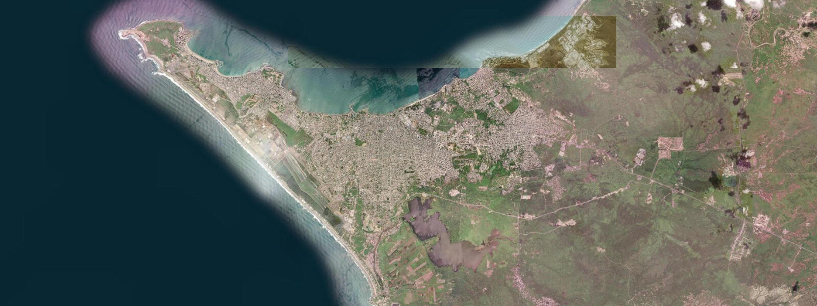
Máncora sits 4° south of the equator in Piura Region, at the northern tip of Peru where the Equatorial Countercurrent overrides the cold Humboldt upwelling and raises sea surface temperatures to 22–26°C year-round. This single oceanographic fact makes Máncora different from every other significant surf location on the Peruvian coast: the water is warm, the fog is absent, the sky is blue most of the year, and sunburn is a primary hazard rather than cold water.
The tidal regime is Pacific semidiurnal with a mean range of approximately 1.5 to 2.0 m — the largest range on this section of the coast, and the most consequential for activity planning. Two distinct highs and lows per day, the higher range producing a visible change in beach width between high and low that is immediately noticeable to anyone spending a day on the beach. Spring tides push the range toward 2.0 m and expose a substantial additional sand flat below the normal low waterline.
The right-hand point break at Máncora is the anchoring surf asset. The wave breaks off the rocky point at the north end of the beach, producing a long right-hand peel on consistent southwest Pacific groundswell. The wave works best at mid-tide on the incoming phase — when the rock ledge at the point is covered by 0.6 to 1.2 m and the swell bends around the headland cleanly. At low tide, the exposed reef makes paddle-out and the take-off zone more technical; at high tide the wave fattens. The 1.5 to 2.0 m range means the difference between a working low and a working high is significant enough to plan around — the mid-flood window (roughly 1.5 to 3 hours after the predicted low) is the standard guide.
Kite surfing operates at Los Órganos, 10 km south of Máncora, where a reef-protected flat-water lagoon and consistent south-southwest wind provide better kite conditions than the open Máncora beach. The wind is more reliable at Los Órganos due to the headland funnelling; conditions are best from May through October when the southern hemisphere trade strengthens.
Whale sharks have been documented offshore from Máncora and the Tumbes coast during the warmer El Niño months and in the warm-water season (December–March). The sightings are opportunistic — no regular whale shark tour operates out of Máncora — but the warm surface water in this zone attracts aggregating plankton that brings in filter feeders. Dive operators in Máncora occasionally run trips when there are reports.
Anglers working the Máncora point and the rocky headlands target corvina and blue runner on the incoming tide; the mid-tide rip at the point concentrates baitfish and produces jack crevalle action on surface lures. Offshore, the warm water brings mahi-mahi and occasionally blue marlin in the summer months — launch fishing from the beach in the morning calm is the standard method. The predicted incoming tide phase on this page indicates the active window for the point fishing.
Families and beach visitors find Máncora Peru's most beach-resort-like environment: the warm water, the wide sand beach south of the point, the beach-bar strip, and the reliable sunshine make it accessible in a way that the fog-prone Humboldt coast to the south is not. The main beach south of the point is swimmable throughout the tidal cycle; at the predicted low (1.5 to 2.0 m below the high), the beach extends significantly further into the sand flat and the water entry is gentler. Rip currents form during large swell — exit perpendicular to the rip, not against it.
Predictions on this page come from Open-Meteo Marine, a global gridded ocean model. Accuracy is ±45 minutes on timing and ±0.2 to 0.3 metres on height. The DHN publishes authoritative harmonic tide tables for the Peruvian coast including Máncora/Talara.
Tide questions about Máncora, Peru
Quick answers to the most common questions about tide times, range, and water access at Máncora, Peru.
When is the next high tide at Máncora?
The predicted next high tide at Máncora is shown at the top of this page in Peru Standard Time (PET, UTC-5). Mean spring range is approximately 1.5 to 2.0 metres — the largest on the northern Peru coast. The beach width changes visibly between high and low water. Predictions come from Open-Meteo Marine (gridded, ±45 min / ±0.2–0.3 m); the DHN (Peruvian Navy Hydrographic Directorate) publishes the authoritative harmonic tables.
What is the best tide for surfing the Máncora point?
The Máncora right-hand point break works best at mid-incoming tide — roughly 1.5 to 3 hours after the predicted low, when water depth over the rock ledge is 0.6 to 1.2 m. The 1.5 to 2.0 m spring range makes the tide window clearly defined: too low and the reef is exposed; too high and the wave shape flattens. Mid-flood is the standard target. Open-Meteo Marine predicts the low to within ±45 minutes, so plan the mid-flood entry 2 hours after the predicted low as the baseline.
Why is the water warm at Máncora compared to Lima or Paracas?
At Máncora, the Equatorial Countercurrent flowing eastward from the central Pacific overrides the southward Humboldt Current, delivering warm equatorial water to the Peruvian coast north of approximately Punta Falsa. Sea surface temperature runs 22–26°C year-round. South of that boundary, the Humboldt Cold Current upwelling dominates, keeping Lima and Paracas water temperatures at 14–18°C. The difference is approximately 1,200 km of coastline; Máncora is the northernmost significant Peruvian surf destination in the warm water zone.
Are there whale sharks near Máncora?
Whale shark sightings have been reported offshore from Máncora and the broader Tumbes/Piura warm water zone, primarily during the warm-water season (December–March) and especially in El Niño years when warm surface water extends further south. No dedicated whale shark tour operator runs regular trips from Máncora; sightings are reported by fishing boats and occasional divers. Local dive operators post reports when encounters occur — check with operators in Máncora and Los Órganos for current season reports.
Is this safe to use for navigation?
No. TideTurtle is a planning tool, not a nautical almanac. Navigation along the northern Peru coast, including the approach to Máncora and the offshore fishing grounds, requires current DHN charts. The 1.5–2.0 m tidal range produces current at the headland points that needs factoring into any small-craft approach. Open-Meteo Marine predictions are not a substitute for authoritative harmonic data for any vessel operation.
7-day tide table — Máncora, Peru
Heights relative to MSL. Predictions: Open-Meteo Marine (MeteoFrance SMOC, 0.08° grid) — heights relative to MSL (not chart datum / LAT). Model-derived.
| Day | Type | Time | Height |
|---|---|---|---|
| Sat 04 Jul | High | 06:15 | 1.0m |
| Low | 12:18 | -0.2m | |
| High | 18:06 | 0.8m | |
| Sun 05 Jul | Low | 00:18 | -0.4m |
| High | 06:50 | 1.0m | |
| Low | 13:00 | -0.2m | |
| High | 18:50 | 0.8m | |
| Mon 06 Jul | Low | 00:56 | -0.3m |
| High | 19:42 | 0.8m | |
| Tue 07 Jul | Low | 01:42 | -0.2m |
| High | 08:10 | 1.1m | |
| Low | 14:38 | -0.1m | |
| Wed 08 Jul | High | 09:02 | 1.0m |
| Low | 15:35 | -0.2m | |
| High | 21:48 | 0.8m | |
| Thu 09 Jul | Low | 03:40 | -0.0m |
| High | 10:00 | 1.0m | |
| Low | 16:39 | -0.2m | |
| High | 22:57 | 0.8m | |
| Fri 10 Jul | Low | 04:48 | -0.0m |
| High | 11:00 | 0.9m | |
| Low | 18:00 | -0.4m |