Huanchaco, Peru tide times
Huanchaco, Peru tide forecast — heights relative to MSL.
Today's tide times for Huanchaco, Peru
Tide times at Huanchaco, Peru on Saturday, 4 July 2026: first low tide at 00:05, first high tide at 07:02, second low tide at 13:10, second high tide at 18:36. Sunrise 06:31, sunset 18:10.
Tide chart for Huanchaco, Peru
24-hour cosine-interpolated curve around the present moment. Heights relative to MSL. Predictions: Predictions: Open-Meteo Marine (MeteoFrance SMOC, 0.08° grid).
Sun, moon and conditions on Sat 04 Jul
Snapshot at build time — refreshes daily. Sea state from Open-Meteo Marine.
Highs and lows next 7 days
Every predicted high and low for the next week, with the daily tidal coefficient (0–120; higher = bigger swing, > 95 means stronger currents).
Other spots nearby
The three closest curated TideTurtle locations to Huanchaco, Peru, measured by great-circle distance.
Today's solunar windows
Solunar tradition: major periods are the ≈3h windows around moon transit and opposition; minor are ≈2h around moonrise and moonset. Pair with the local tide stage and wind for the best read.
Cycle dates near Huanchaco, Peru
Last spring tide on Fri 03 Jul (range 1.0m). Next spring tide on Thu 09 Jul (range 0.8m). Next neap on Wed 08 Jul.
Spring tides cluster around new and full moons (biggest swings). Neap tides land on quarter moons (smallest swings). See the spring tide and neap tide glossary entries for the why.
About tides at Huanchaco, Peru
A short guide to the coastline at Huanchaco, Peru — geography, sea state, and what the tide is actually doing under your feet.
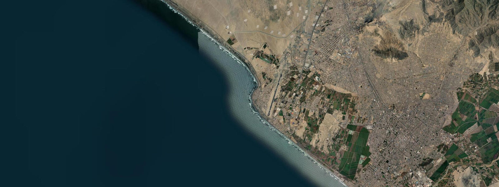
Huanchaco is a fishing village on the La Libertad coast of northern Peru, immediately north of Trujillo, where the Moche people's tradition of fishing from caballitos de totora — reed boats shaped from bundled totora reeds — has continued without interruption for at least 3,000 years. The practice is recognised by UNESCO as Intangible Cultural Heritage. The boats are paddled straddled across the bow, not rowed; the fishers kneel on the rear section and use a split bamboo paddle. After each use, the boats are stood upright on the beach to dry, and their distinctive silhouettes — dozens of vertical golden reeds — define the Huanchaco beachfront at any time of day.
The tidal regime is Pacific semidiurnal. Mean range at Huanchaco runs approximately 1.0 to 1.5 metres — measurably more tidal than the Caribbean locations, with two distinct flood and ebb cycles per day. The Humboldt Current maintains cold water at around 16–18°C year-round on this section of the Peruvian coast; the coastal fog (garúa) is a persistent feature from May through November, keeping the sky overcast and the air cool even as the water surface temperature barely moves between seasons.
Chan Chan, the pre-Columbian Chimú adobe city 5 km south, is one of the largest adobe urban centres ever built — covering approximately 20 square kilometres at its peak in the 13th–15th centuries. The UNESCO World Heritage Site includes the ceremonial core (Tschudi/Nik An palace complex) and the surrounding residential and fishing districts. The site is actively being conserved against rainfall erosion; paradoxically, on a desert coast where annual rainfall averages under 10 mm, El Niño years bring enough rain to significantly damage the adobe. The site is accessible by combi from Trujillo or Huanchaco in under 30 minutes.
Surfing at Huanchaco is consistent and long-running on local knowledge. The wave is a left-hand beach break breaking over a sand bottom in 0.5 to 2.5 m surf; it works best on the incoming tide when the sand bank shapes correctly in the middle tide window. The surfing community is established and friendly; several surf schools operate on the beach catering to beginner and intermediate tourists who combine the cultural site at Chan Chan with a surf lesson. The caballito fishers and the surfers occupy adjacent sections of the beach without conflict — a long-standing coexistence.
Anglers at Huanchaco have two clear targets. Shore casting from the pier and the beach south of the caballito area produces pejerrey (Odontesthes regia) on light tackle — a small silver fish that runs in large schools along the surf line, most active in the two hours either side of the predicted low water when the schools concentrate in the shallower zone. Boat fishing out of Huanchaco targets corvina (Cilus gilberti) on the rocky reef structure north of the pier; the incoming tide pushes baitfish against the reef and produces consistent corvina action in the 2 to 3 hours after the predicted low.
Families at Huanchaco find a genuine working-village atmosphere rather than a resort. The beachside restaurants serve cebiche with fresh local catch — Huanchaco's cevicherías are among the best-regarded in the La Libertad region. The cold water and the garúa fog mean the beach is not a swimming destination by Caribbean standards, but beach walks, caballito watching, and the cultural density of the archaeological sites make this one of the more substantive coastal experiences on the Peruvian north coast.
Predictions on this page come from Open-Meteo Marine, a global gridded ocean model. Accuracy is ±45 minutes on timing and ±0.2 to 0.3 metres on height. The DHN (Dirección de Hidrografía y Navegación) publishes authoritative harmonic tide tables for the Peruvian coast including Huanchaco/Trujillo.
Tide questions about Huanchaco, Peru
Quick answers to the most common questions about tide times, range, and water access at Huanchaco, Peru.
When is the next high tide at Huanchaco?
The predicted next high tide at Huanchaco is shown at the top of this page in Peru Standard Time (PET, UTC-5). Mean range is approximately 1.0 to 1.5 metres — Pacific semidiurnal, with two distinct cycles per day. Predictions come from Open-Meteo Marine (gridded, ±45 min / ±0.2–0.3 m); the DHN (Peruvian Navy Hydrographic Directorate) publishes the authoritative harmonic tables for this coast.
What is the caballito de totora and can visitors ride one?
The caballito de totora is a traditional reed fishing boat made from bundled totora reeds, used at Huanchaco for at least 3,000 years and recognised by UNESCO as Intangible Cultural Heritage. The boats are individually owned by the fishing families and are working vessels — they go out early morning and return midday. Several operators offer tourist caballito experiences on calmer days; ask at the beachfront or at the surf schools. Watching the fishers stand their boats upright to dry after each use is part of the daily beach rhythm and free to observe.
What is the best tide for surfing at Huanchaco?
Huanchaco's left-hand beach break generally shapes best at mid-incoming tide — when the sand bank is covered by 0.5 to 1.5 m of water and the wave refracts cleanly onto the beach. The lower part of the tide on the smallest swells can close out or go fat; the higher end of the tide at large swell can make the takeoff steep. The 1.0 to 1.5 m spring range means the working window is roughly 2–3 hours either side of the mid-flood. Swell direction (SSW groundswell at 10+ seconds) matters more than tide for wave quality.
How far is Chan Chan from Huanchaco?
Chan Chan is approximately 5 km south of Huanchaco — a 15–20 minute ride by combi (shared minibus) or taxi. The main entrance to the Tschudi/Nik An palace complex is on the Huanchaco–Trujillo road. The site is open daily; a guide is strongly recommended for interpreting the adobe reliefs and understanding the scale of the Chimú city, which is not intuitive to walk without context. Allow at least 2 hours for the site visit.
Is this safe to use for navigation?
No. TideTurtle is a planning tool, not a nautical almanac. Navigation along the La Libertad coast of Peru, including the approaches to Huanchaco and the offshore fishing grounds, requires current DHN charts. Pacific swell, the Humboldt Current, and inshore reef hazards require proper chart navigation. Open-Meteo Marine predictions are not a substitute for authoritative harmonic data for any vessel operation.
7-day tide table — Huanchaco, Peru
Heights relative to MSL. Predictions: Open-Meteo Marine (MeteoFrance SMOC, 0.08° grid) — heights relative to MSL (not chart datum / LAT). Model-derived.
| Day | Type | Time | Height |
|---|---|---|---|
| Sat 04 Jul | Low | 00:05 | -0.3m |
| High | 07:02 | 0.8m | |
| Low | 13:10 | 0.0m | |
| High | 18:36 | 0.5m | |
| Sun 05 Jul | Low | 00:40 | -0.2m |
| High | 07:36 | 0.8m | |
| Low | 13:56 | 0.0m | |
| High | 19:22 | 0.4m | |
| Mon 06 Jul | Low | 01:21 | -0.1m |
| High | 08:12 | 0.7m | |
| Tue 07 Jul | Low | 02:07 | -0.1m |
| High | 08:50 | 0.7m | |
| Wed 08 Jul | Low | 03:04 | 0.1m |
| High | 09:43 | 0.7m | |
| Low | 16:23 | -0.1m | |
| High | 22:52 | 0.6m | |
| Thu 09 Jul | Low | 17:23 | -0.1m |
| Fri 10 Jul | High | 00:04 | 0.7m |
| Low | 18:00 | -0.2m |