Lagunillas, Peru tide times
Lagunillas, Peru tide forecast — heights relative to MSL.
Today's tide times for Lagunillas, Peru
Tide times at Lagunillas, Peru on Saturday, 4 July 2026: first high tide at 09:04, first low tide at 16:45, second high tide at 21:00. Sunrise 06:29, sunset 17:49.
Tide chart for Lagunillas, Peru
24-hour cosine-interpolated curve around the present moment. Heights relative to MSL. Predictions: Predictions: Open-Meteo Marine (MeteoFrance SMOC, 0.08° grid).
Sun, moon and conditions on Sat 04 Jul
Snapshot at build time — refreshes daily. Sea state from Open-Meteo Marine.
Highs and lows next 7 days
Every predicted high and low for the next week, with the daily tidal coefficient (0–120; higher = bigger swing, > 95 means stronger currents).
Other spots nearby
The three closest curated TideTurtle locations to Lagunillas, Peru, measured by great-circle distance.

Today's solunar windows
Solunar tradition: major periods are the ≈3h windows around moon transit and opposition; minor are ≈2h around moonrise and moonset. Pair with the local tide stage and wind for the best read.
Cycle dates near Lagunillas, Peru
Last spring tide on Fri 03 Jul (range 0.6m). Next neap on Sat 04 Jul.
Spring tides cluster around new and full moons (biggest swings). Neap tides land on quarter moons (smallest swings). See the spring tide and neap tide glossary entries for the why.
About tides at Lagunillas, Peru
A short guide to the coastline at Lagunillas, Peru — geography, sea state, and what the tide is actually doing under your feet.
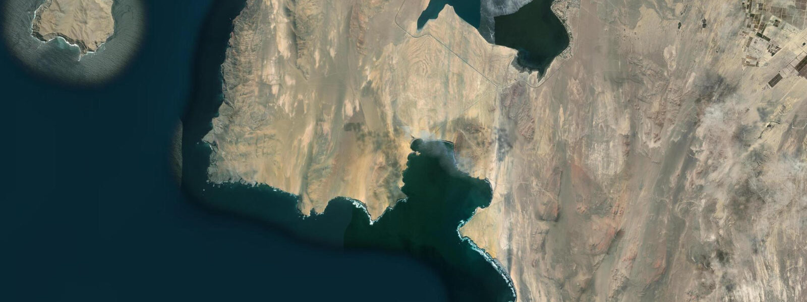
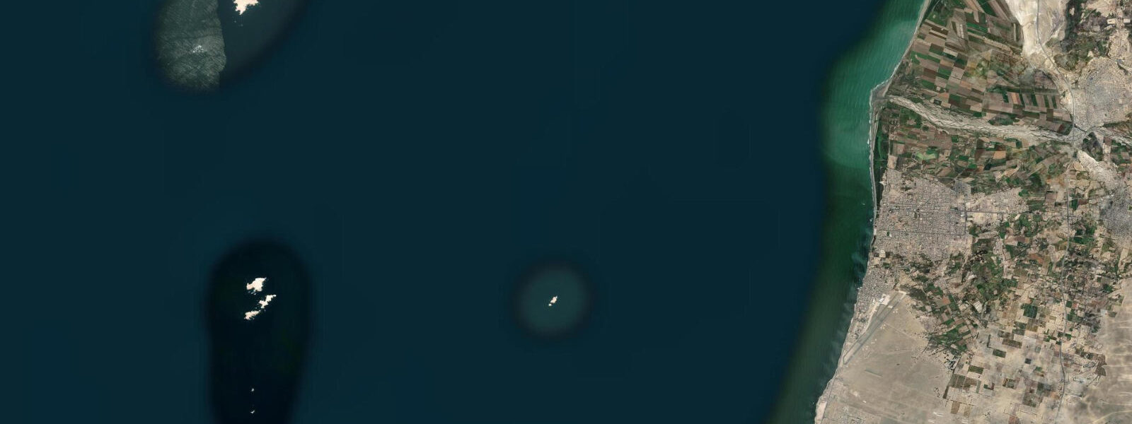
Lagunillas is a small fishing cove within the Reserva Nacional de Paracas, 17 km south of Paracas town along a desert coastal road that passes ancient petroglyphs and Humboldt penguin colonies on the rocks. The cove itself is a protected pocket in the rocky Paracas Peninsula coast, with a concrete ramp, a cluster of wooden fishing shacks, and a sea lion colony on the adjacent rocky outcrop that makes noise and presence known throughout the day. The Ballestas Islands — visible 20 km to the northwest — hold Peru's largest concentrations of Humboldt penguins, Peruvian boobies, and South American sea lions, and the boats that tour them stop at Lagunillas for logistics on their way out from Paracas.
The tidal pattern is mixed semidiurnal Pacific, driven by the Humboldt Current coast: spring tidal range 1.5–2.5 m. Open-Meteo Marine provides the forecast data — timing accuracy ±45 minutes, height accuracy ±0.2–0.3 m. This is a meaningfully tidal environment compared to the Caribbean places elsewhere in this batch — a 2-metre spring range creates real intertidal zone exposure and significant changes in the cove's beach and rock platform over the course of a day.
For anglers, Lagunillas is one of the most productive casual fishing spots on the Paracas coast. The Humboldt Current brings cold, nutrient-rich water that supports dense pelagic fish populations. Peruvian bonito (Sarda chiliensis), Pacific sierra, corvina, and cojinova are the main species taken from the rocks around the cove. Local fishermen work the incoming tide from the rocks on the south side of the cove, and the period from two hours before high tide to the tide peak is consistently the most active. The cold upwelling water keeps sea surface temperatures at 14–18°C year-round — significantly cooler than the Caribbean examples in this batch.
Kayakers and small boat operators launching from the Lagunillas ramp can access the dramatic sea-arch and cliff coastline south along the peninsula toward Punta Carreta. The tidal range creates surge in the sea caves and arches — this coastline should only be approached within two hours of low water when surge is manageable. The 2-metre spring range drops to 1.2–1.5 m at neaps, which gives more forgiving conditions for sea-cave exploration.
Wildlife photographers have the on-site sea lion colony at Lagunillas (South American sea lions, Otaria flavescens), plus the constant seabird traffic: Peruvian pelicans, Peruvian boobies, Inca terns (a distinctive grey-and-white bird with red bill and white facial plumes), and Humboldt penguins on the rocks. The Inca terns are present year-round and make excellent close-range subjects at the cove.
Tide questions about Lagunillas, Peru
Quick answers to the most common questions about tide times, range, and water access at Lagunillas, Peru.
What is the tidal range at Lagunillas and how does it affect access?
Spring tidal range is 1.5–2.5 m — mixed semidiurnal Pacific pattern. This is a materially tidal coast: the rock platforms around the cove are extensively exposed at low water, making rock-fishing and tidepooling excellent, while the ramp and approach are at full submergence at high water. Open-Meteo Marine provides tide forecast data with ±45-minute timing accuracy and ±0.2–0.3 m height accuracy. The 2-metre spring range also drives surge in the sea caves south along the peninsula — kayakers and swimmers approaching the rocky coastline should do so within two hours of low water when surge is lowest. Neap ranges drop to 1.2–1.5 m, significantly reducing surge conditions.
What wildlife can I see at Lagunillas itself, without taking a boat tour?
Lagunillas has a resident sea lion colony on the rocks immediately adjacent to the fishing cove — South American sea lions (Otaria flavescens) haul out year-round and the bulls' territorial displays are visible from the concrete ramp. Inca terns — distinctive grey birds with red bills and white facial plumes — are present in numbers on the rocks throughout the year. Humboldt penguins use the rocky headlands 500 m south of the cove. Peruvian pelicans and Peruvian boobies work the water constantly. The intertidal pools exposed at low water hold sea anemones, muricid snails, and various crab species that make worthwhile tidepool exploration. No boat required for any of this.
What fish species are caught from the rocks at Lagunillas?
The Humboldt Current upwelling makes this one of the most productive coastal fisheries in the world. From the rocks at Lagunillas, local anglers regularly take Peruvian bonito (Sarda chiliensis) on feather jigs, Pacific sierra mackerel on metal lures, corvina (croaker family) on bait at the base of the rocks, and cojinova (Seriolella violacea) on chrome lures cast into the current seams. The most productive tidal window is two hours before to one hour after high tide when bait fish stack against the rocky headlands. Water temperature is 14–18°C year-round — wear a layer at dawn as the wind off the upwelling zone is cold.
Is Lagunillas inside the Paracas National Reserve and is there an entrance fee?
Lagunillas is inside the Reserva Nacional de Paracas, which covers the peninsula and a marine buffer zone. An entrance fee is charged at the main reserve gate on the road south from Paracas town; the fee is paid per person and is valid for a defined period (typically 24 hours). The road to Lagunillas passes through the reserve, so the fee applies to all visitors whether or not they stop at the gate. Fees are subject to change — check current rates with your accommodation in Paracas before the trip. The reserve is administered by SERNANP (Peru's national protected areas service).
How does the cold Humboldt Current affect conditions at Lagunillas?
The Humboldt Current upwelling keeps sea surface temperatures at 14–18°C year-round — far cooler than the Caribbean locations at similar latitudes. The cold water creates persistent low-level cloud and coastal fog (garúa) from June through November, which reduces direct sun hours but maintains mild air temperatures. The upwelling drives extraordinary marine productivity: the dense fish populations, sea lion colonies, and seabird concentrations at Lagunillas are a direct result of the nutrient-rich cold water. Swimmers should treat the water as cold rather than tropical — a 3 mm wetsuit is comfortable for any extended time in the water. The cold upwelling is also why the Paracas desert coast has almost zero rainfall despite sitting at a latitude that in the Atlantic would be subtropical.
7-day tide table — Lagunillas, Peru
Heights relative to MSL. Predictions: Open-Meteo Marine (MeteoFrance SMOC, 0.08° grid) — heights relative to MSL (not chart datum / LAT). Model-derived.
| Day | Type | Time | Height |
|---|---|---|---|
| Sat 04 Jul | High | 09:04 | 0.6m |
| Low | 16:45 | 0.0m | |
| High | 21:00 | 0.1m | |
| Sun 05 Jul | Low | 02:00 | -0.0m |
| High | 22:10 | 0.2m | |
| Mon 06 Jul | Low | 02:50 | 0.0m |
| High | 10:00 | 0.5m | |
| Tue 07 Jul | Low | 03:50 | 0.1m |
| High | 10:42 | 0.4m | |
| Low | 17:54 | -0.1m | |
| Wed 08 Jul | High | 11:15 | 0.4m |
| Low | 18:18 | -0.1m | |
| Thu 09 Jul | High | 12:10 | 0.3m |
| Low | 19:06 | -0.1m | |
| Fri 10 Jul | High | 13:00 | 0.3m |
| Low | 18:00 | -0.0m |