Madang tide times
Madang tide forecast — heights relative to MSL.
Today's tide times for Madang
Tide times at Madang on Saturday, 27 June 2026: first low tide at 11:00am. Sunrise 06:25am, sunset 06:14pm.
Tide chart for Madang
24-hour cosine-interpolated curve around the present moment. Heights relative to MSL. Predictions: Predictions: Open-Meteo Marine (MeteoFrance SMOC, 0.08° grid).
Sun, moon and conditions on Sat 27 Jun
Snapshot at build time — refreshes daily. Sea state from Open-Meteo Marine.
Highs and lows next 7 days
Every predicted high and low for the next week, with the daily tidal coefficient (0–120; higher = bigger swing, > 95 means stronger currents).
Other spots nearby
The three closest curated TideTurtle locations to Madang, measured by great-circle distance.
Today's solunar windows
Solunar tradition: major periods are the ≈3h windows around moon transit and opposition; minor are ≈2h around moonrise and moonset. Pair with the local tide stage and wind for the best read.
About tides at Madang
A short guide to the coastline at Madang — geography, sea state, and what the tide is actually doing under your feet.
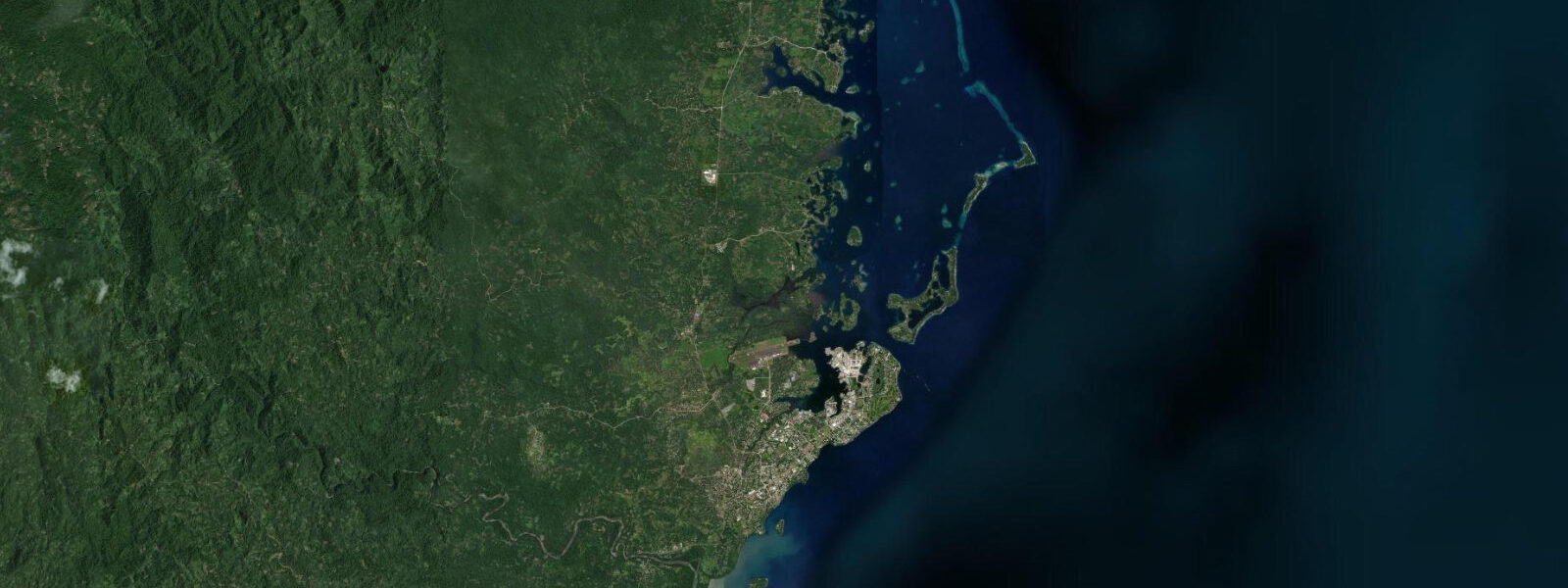
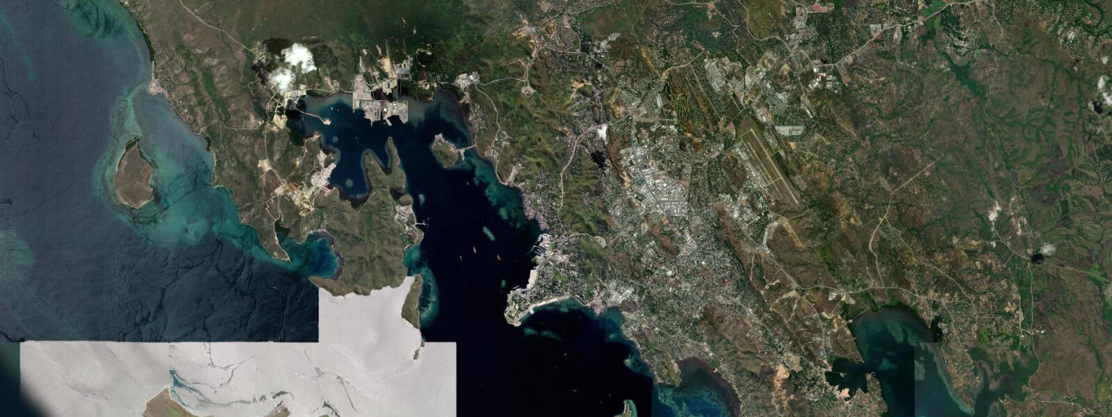
Madang sits on the north coast of Papua New Guinea's mainland, on the Bismarck Sea 800 kilometres northwest of Port Moresby by sea. The town of roughly 30,000 people occupies a narrow peninsula that juts into the Madang Lagoon — a protected body of water enclosed by a barrier reef with five navigable passes. The same German colonial administration that renamed Madang from its original Astrolabe Bay coastal location built the town on this peninsula in the late 19th century, taking advantage of the natural harbour protection the lagoon provides.
The tidal range at Madang is approximately 1.3 m on spring tides, mixed semidiurnal. The tidal flow through the lagoon's five passes drives water exchange between the Bismarck Sea and the enclosed lagoon; on spring tides, the pass currents run at 1.5–2.5 knots through the narrower northern passes. The lagoon interior, where most of the recreational diving and paddling takes place, has tidal current of 0.3–0.8 knots on spring tides — moderate and generally manageable. The outer reef of the lagoon is exposed to Bismarck Sea swell, but the lagoon interior is well protected at all tidal states.
The Madang Lagoon reef system is internationally recognised among dive destinations. The offshore islands of Kranket (500 m from the Madang Peninsula across the lagoon), Siar (3 km north), and Wongat (2 km northeast) have reef walls and slopes that carry exceptional soft-coral density: sea fans, soft corals, and crinoids cover the reef faces in colours that photograph particularly well in the low-angle morning light. Visibility at the Kranket and Siar sites regularly exceeds 30 m on calm Bismarck Sea days. The lagoon's pass geometry and the trade-wind pattern mean the water inside the lagoon is frequently clearer than typical tropical coastal water.
Dive operators in Madang have been active since the 1970s; the town has a longer-established dive infrastructure than Kimbe Bay or most other PNG coastal locations. The main dive sites divide between the lagoon interior (Kranket, Siar, Wongat — accessible and appropriate for Open Water divers) and the outside reef and passages (stronger current, better pelagic activity, appropriate for experienced divers). B-17 bomber wreck, one of the most accessible WWII aircraft wrecks in the Pacific, lies in 12 m of water in Hansa Bay 50 km east of Madang — reachable by day trip by experienced divers.
For kayakers, the Madang Lagoon is one of the most rewarding flat-water paddling environments in the Pacific. The enclosed lagoon is protected from Bismarck Sea swell; the water is clear enough to see the reef bottom in 5–8 m depth; and the distances between the offshore islands are modest — Kranket is 500 m from the Madang Peninsula, Siar is 3 km, Wongat is 2 km. The tidal current in the lagoon interior (0.3–0.8 knots on spring tides) is manageable for competent paddlers. The lagoon surface is calmest in the early morning before the northwest monsoon wind builds (November–April) and in the October and May transition months. A full circumnavigation of the main lagoon islands by kayak covers 12–15 km and can be done in a half-day.
Anglers fishing the Madang area access both the lagoon reef (for snapper, coral trout, and grouper) and the Bismarck Sea outside the passes (for tuna, wahoo, and marlin). The pass currents on the flood tide concentrate baitfish at the pass mouths and attract pelagic predators — the 60-minute window before high water is the productive period for surface-lure fishing at the lagoon passes. Shore fishing from the Madang waterfront and the Kranket Island reef flat targets reef species at low water when the flat is most accessible.
Families visiting Madang have calm swimming options in the lagoon on the sheltered sides of Kranket and Siar islands; the water in the lagoon is clear and consistently 28–30°C. Snorkelling directly from the beach on these islands is productive — the reef begins at the waterline on some sides of Kranket and Siar, with fish and coral visible immediately on entering the water.
All tide predictions for Madang come from the Open-Meteo Marine gridded model. Timing accuracy is ±45 minutes; height accuracy is ±0.3 m above Chart Datum.
Tide questions about Madang
Quick answers to the most common questions about tide times, range, and water access at Madang.
What makes Madang Lagoon a recognised dive destination and how do tides affect diving conditions?
Madang Lagoon's enclosed geometry, fed by Bismarck Sea water through five passes, produces consistently clear water with visibility regularly exceeding 30 m at the Kranket, Siar, and Wongat Island sites. The reef walls and slopes carry exceptional soft-coral and sea-fan density. Tides affect diving in two ways: the pass currents (1.5–2.5 knots on spring tides) determine when pass and outer-reef dives are current-appropriate; and the lagoon interior current (0.3–0.8 knots on spring tides) affects the timing for the calmer interior wall dives. Dive operators plan interior-site drops for the neap-tide slack-water window for optimal conditions; experienced divers use spring-ebb pass dives for pelagic activity at the pass mouths. Open-Meteo predictions carry ±45 minutes and ±0.3 m uncertainty.
Is kayaking in Madang Lagoon suitable for beginners?
Madang Lagoon is suitable for competent recreational paddlers. The enclosed water is protected from Bismarck Sea swell; current in the lagoon interior is 0.3–0.8 knots on spring tides — manageable for a paddler of average fitness. The distance to Kranket Island (500 m) is suitable for any paddler; Siar Island (3 km) requires approximately 45 minutes' paddling in calm conditions. The lagoon surface is calmest in the early morning before wind builds — 06:00–09:00 is the standard launch window. Beginners should avoid the five lagoon passes, where current runs at 1.5–2.5 knots on spring tides. Kayak rental is available through the main Madang dive operators. The lagoon perimeter circumnavigation (12–15 km) is appropriate for experienced recreational paddlers.
What is the B-17 wreck near Madang and how do I access it?
A B-17 Flying Fortress bomber lies in 12 m of water in Hansa Bay, 50 km east of Madang, shot down in 1943 and largely intact on the sandy bottom. The fuselage, engines, and gun turrets are well preserved and covered in coral growth. Access requires a day-trip charter — approximately 90 minutes each way. Dive operators include the site in their itineraries on request. At 12 m, bottom times of 45–60 minutes are within no-decompression limits on most dive computers, and the site is appropriate for Open Water certified divers. Tidal current is low — it is a sheltered bay site, not exposed to lagoon-pass flow.
What are the tidal conditions at the Madang lagoon passes and are they safe for boats?
The five passes in the Madang Lagoon barrier reef run 1.5–2.5 knots on spring tides. They are well charted and routinely used by dive boats, fishing charters, and commercial vessels. The main north pass carries the strongest current. Transit on the flood tide when the current pushes into the lagoon, giving more manoeuvring time if power is lost. Small outboards under 15 hp should transit on neap tides or at slack water; the spring-ebb current in the narrows can exceed the speed of an underpowered dinghy. The passes are unlit; night transit requires local knowledge. All tidal predictions carry ±45 minutes timing uncertainty.
What fishing is accessible from Madang and when is the most productive period?
The lagoon reef system provides consistent bottom fishing for snapper, coral trout, and grouper throughout the year. The 60-minute flood-tide window before high water at the lagoon passes concentrates baitfish at the pass mouths and is the most productive surface-lure period for wahoo and tuna at the pass edges. The Bismarck Sea outside the passes gives access to the open-ocean pelagic fishery; black marlin and dogtooth tuna are the major targets October–April. The June–September southeast trade-wind season is the calmest for Bismarck Sea offshore fishing. Shore fishing from the Madang waterfront and Kranket Island reef flat targets reef species at low water, when the reef flat is most accessible at casting range.
7-day tide table — Madang
Heights relative to MSL. Predictions: Open-Meteo Marine (MeteoFrance SMOC, 0.08° grid) — heights relative to MSL (not chart datum / LAT). Model-derived.
| Day | Type | Time | Height |
|---|---|---|---|
| Sat 27 Jun | Low | 11:00 | 0.3m |
| Sun 28 Jun | — | ||
| Mon 29 Jun | High | 02:10 | 1.1m |
| Low | 12:00 | 0.2m | |
| Tue 30 Jun | High | 02:45 | 1.1m |
| Wed 01 Jul | Low | 13:06 | 0.3m |
| Thu 02 Jul | High | 03:10 | 1.1m |
| Fri 03 Jul | Low | 13:50 | 0.3m |