Kimbe tide times
Kimbe tide forecast — heights relative to MSL.
Tide chart for Kimbe
24-hour cosine-interpolated curve around the present moment. Heights relative to MSL. Predictions: Predictions: Open-Meteo Marine (MeteoFrance SMOC, 0.08° grid).
Sun, moon and conditions on Sat 27 Jun
Snapshot at build time — refreshes daily. Sea state from Open-Meteo Marine.
Highs and lows next 7 days
Every predicted high and low for the next week, with the daily tidal coefficient (0–120; higher = bigger swing, > 95 means stronger currents).
Other spots nearby
The three closest curated TideTurtle locations to Kimbe, measured by great-circle distance.
Today's solunar windows
Solunar tradition: major periods are the ≈3h windows around moon transit and opposition; minor are ≈2h around moonrise and moonset. Pair with the local tide stage and wind for the best read.
About tides at Kimbe
A short guide to the coastline at Kimbe — geography, sea state, and what the tide is actually doing under your feet.
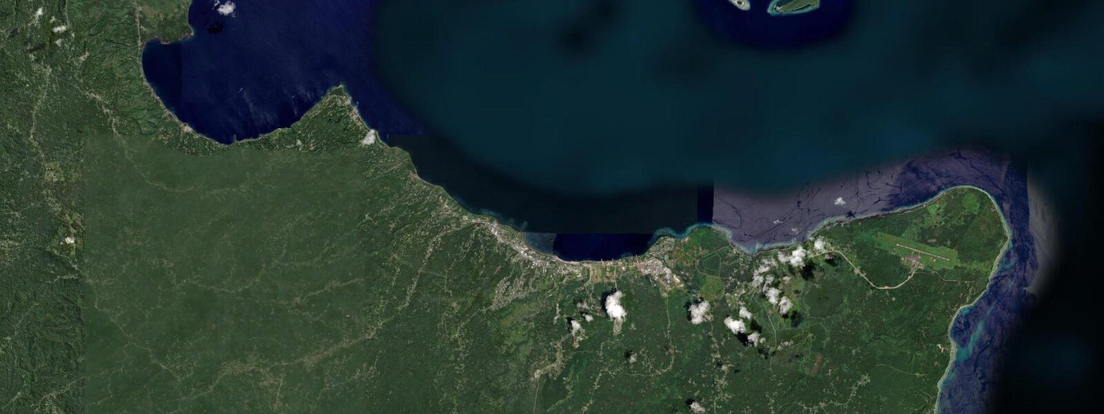
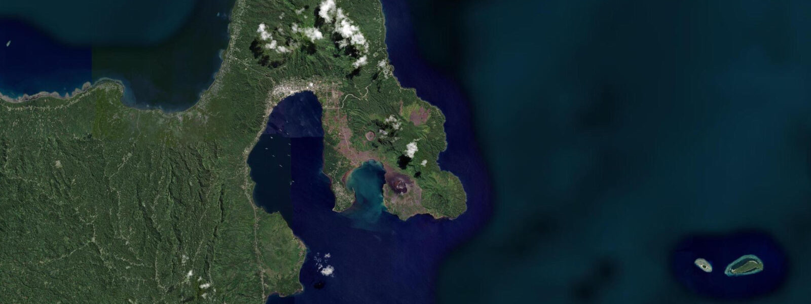
Kimbe is the provincial capital of West New Britain, on the north coast of West New Britain island 1,000 kilometres northwest of Port Moresby by sea. The town of roughly 20,000 people is surrounded by palm oil plantations — West New Britain is PNG's primary palm oil province — but the bay it faces, Kimbe Bay, is a world-class marine environment that has been systematically surveyed by marine biologists and documented as having the highest recorded coral and fish biodiversity of any bay in the Pacific.
The survey data is precise: over 860 coral species (out of a global total of approximately 1,000 known coral species) and over 1,000 fish species have been recorded within Kimbe Bay. The concentration of species is explained by the bay's geographic position at the convergence of the Bismarck Sea and the Pacific Ocean circulation systems, its deep-water connectivity through the bay floor (which prevents thermal stratification and maintains oxygen levels), and its isolation from the commercial fishing pressure that has depleted comparable systems in the Philippines and Indonesia. The palm oil industry has not, to date, discharged significant pollutant loading into the bay — a situation that could change with expansion of processing infrastructure on the bay margin.
The tidal range at Kimbe is 1.2–1.5 m on spring tides, mixed semidiurnal. The bay is semi-enclosed by the West New Britain coast on three sides, with the open Bismarck Sea to the north. Tidal current in the inner bay is moderate — 0.5–1.0 knots on spring tides near the offshore sea mounts and reef structures that are the primary dive sites. The sea mounts, rising from 200–400 m depth to within 5–15 m of the surface, are the defining feature of Kimbe Bay's dive environment: their isolated summits attract pelagic species — hammerhead sharks, mantas, ocean sunfish — that move up from deep water onto the shallow summits on the current.
The dive sites cluster around the offshore sea mounts and the fringing reefs of the small islands in the bay. Kimbe Island (Garove Island is the largest island in the bay), Restorf Island, and the Witu Islands are the most frequently dived locations. Restorf Island's reef is consistently cited by dive operators as the bay's most diverse single site — a wall that drops from 3 m to beyond 50 m, covered in gorgonian sea fans 2–3 m across and clouds of anthias fish. Visibility at Restorf regularly exceeds 30 m on calm days; current over the wall is 0.5–1.5 knots on spring tides, sufficient to keep the gorgonians extended and the fish aggregations active.
Hammerhead sharks aggregate on the Kimbe Bay sea mounts between November and March, when the thermocline deepens and nutrient-rich cool water upwells over the summits. The aggregations are most reliably encountered at the Patience Rock and Kimbe Island sea mount sites. The observation window for hammerheads is typically the first 60 minutes of a dive, starting at dawn (06:00 entry), when the sharks are most active near the summit before descending to deeper water as the day warms. This timing aligns with the slack water before the flood tide, when current over the summit is minimal and divers can hold position on the shallow summit.
For kayakers, the calm waters inside the bay on the eastern and southern margins — sheltered from the northwest monsoon by the bay's geometry — offer flat-water paddling with reef access. The inner bay mangroves south of Kimbe town are navigable by kayak on the upper half of the tidal cycle. Current in the inner bay is minimal on neap tides; spring tides increase the inner bay flow to 0.5–0.8 knots, which is manageable but noticeable on longer crossings.
Anglers targeting the Kimbe Bay pelagic fishery find the bay's sea mounts and current lines productive for dogtooth tuna, wahoo, and giant trevally throughout the year. Black marlin pass through the outer bay on the June–October migration. The inner bay reef system produces consistent catches of snapper, coral trout, and grouper from the fringing reefs around the bay's offshore islands.
Walindi Plantation Resort (established 1983) on the south side of the bay is the sole dedicated dive base. Its boats access all main bay sites; liveaboard trips reach the more distant Witu Islands. Accommodation in Kimbe town is basic — the resort is the primary infrastructure for marine-focused visitors.
All tide predictions for Kimbe come from the Open-Meteo Marine gridded model. Timing accuracy is ±45 minutes; height accuracy is ±0.3 m above Chart Datum.
Tide questions about Kimbe
Quick answers to the most common questions about tide times, range, and water access at Kimbe.
What makes Kimbe Bay's marine biodiversity scientifically significant?
Marine biologists have recorded over 860 coral species and 1,000 fish species in Kimbe Bay — the highest documented counts for any bay in the Pacific. The bay sits at the convergence of Bismarck Sea and Pacific Ocean circulation, maintaining deep-water connectivity that prevents thermal stratification and supports the full depth range of coral reef habitat. The bay's relative isolation from commercial fishing pressure and the absence of significant industrial pollution have kept ecosystem structure intact. The figures are from systematic scientific surveys, not promotional estimates. By comparison, the most biodiverse sites in the Coral Triangle (Komodo, Tubbataha) have lower single-site species counts. The scientific basis makes Kimbe Bay a legitimate reference site for coral reef diversity research.
When and where are hammerhead sharks most reliably seen in Kimbe Bay?
Hammerhead sharks aggregate on the Kimbe Bay sea mounts between November and March, when the thermocline deepens and cool, nutrient-rich water upwells over the summits. The Patience Rock and Kimbe Island sea mount sites are the most consistent locations. The most reliable observation window is the first 60 minutes of a dawn dive (entry at 06:00), starting at the slack-water period before the flood tide, when current over the summit is minimal and the sharks are most active at shallow depth before descending as the day warms. Encounters are not guaranteed; early-season (November–December) and late-season (February–March) visits typically yield better sightings than peak summer. Dive operators at Walindi Plantation Resort have site-specific current and shark-activity knowledge.
What tidal conditions are best for diving the Restorf Island reef wall?
Restorf Island's wall dive — from 3 m to 50+ m, covered in large gorgonian sea fans — is best dived at 0.5–1.5 knots of current: enough to keep gorgonians extended and fish aggregations active, but manageable for position-holding. The mid-ebb or mid-flood on neap tides, or the early ebb and early flood on spring tides, are the target windows. Slack water is the least impressive condition — gorgonians fold and anthias schools disperse when current drops to zero. Visibility exceeds 30 m on calm days; the wall's 3–25 m section suits Open Water divers; Advanced Open Water is recommended for the deeper gorgonian concentrations.
How do I get to Kimbe and what accommodation options are available for divers?
Kimbe is accessible by Air Niugini flights from Port Moresby to Hoskins Airport, 14 km from Kimbe town (approximately 1 hour flight; 2–3 services per week). The primary accommodation for divers is Walindi Plantation Resort on the south side of Kimbe Bay, established in 1983 and the longest-running dive operation in the bay. The resort runs its own dive boats to all main bay sites and operates liveaboard trips to the outer Witu Islands. Accommodation in Kimbe town itself is basic guesthouses; Walindi is the infrastructure for marine-focused visitors. A second dive operator, MV FeBrina (liveaboard), is based in the bay and runs independent itineraries. Bookings for both are typically made several months in advance during peak season (October–March).
Is kayaking or paddleboarding practical in Kimbe Bay?
The inner bay margins on the eastern and southern sides of Kimbe Bay — sheltered from the northwest monsoon — offer flat-water paddling with reef and mangrove access. The inner bay mangroves south of Kimbe town are navigable by kayak on the upper half of the tidal cycle (the 3 hours either side of high water). Current in the inner bay is 0.3–0.8 knots on spring tides — manageable for competent paddlers. Crossings to the offshore sea mounts and islands (5–15 km, exposed to northwest monsoon wind November–April) require sea kayaking experience. Kayak rental is not standard in Kimbe Bay; Walindi Plantation Resort can advise on options.
8-day tide table — Kimbe
Heights relative to MSL. Predictions: Open-Meteo Marine (MeteoFrance SMOC, 0.08° grid) — heights relative to MSL (not chart datum / LAT). Model-derived.
| Day | Type | Time | Height |
|---|---|---|---|
| Sat 27 Jun | — | ||
| Sun 28 Jun | Low | 11:00 | 0.2m |
| Mon 29 Jun | High | 01:54 | 1.1m |
| Low | 11:42 | 0.2m | |
| Tue 30 Jun | High | 02:15 | 1.1m |
| Low | 12:00 | 0.2m | |
| Wed 01 Jul | — | ||
| Thu 02 Jul | High | 03:00 | 1.1m |
| Low | 13:00 | 0.3m | |
| Fri 03 Jul | High | 03:15 | 1.1m |
| Low | 13:15 | 0.3m | |
| Sat 04 Jul | High | 03:15 | 1.1m |
| Low | 09:00 | 0.6m | |