Kimbe, West New Britain tide times
Kimbe, West New Britain tide forecast — heights relative to MSL.
Tide chart for Kimbe, West New Britain
24-hour cosine-interpolated curve around the present moment. Heights relative to MSL. Predictions: Predictions: Open-Meteo Marine (MeteoFrance SMOC, 0.08° grid).
Sun, moon and conditions on Sat 04 Jul
Snapshot at build time — refreshes daily. Sea state from Open-Meteo Marine.
Highs and lows next 7 days
Every predicted high and low for the next week, with the daily tidal coefficient (0–120; higher = bigger swing, > 95 means stronger currents).
Other spots nearby
The three closest curated TideTurtle locations to Kimbe, West New Britain, measured by great-circle distance.
Today's solunar windows
Solunar tradition: major periods are the ≈3h windows around moon transit and opposition; minor are ≈2h around moonrise and moonset. Pair with the local tide stage and wind for the best read.
About tides at Kimbe, West New Britain
A short guide to the coastline at Kimbe, West New Britain — geography, sea state, and what the tide is actually doing under your feet.
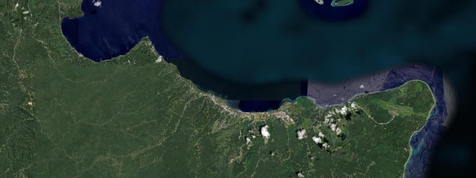
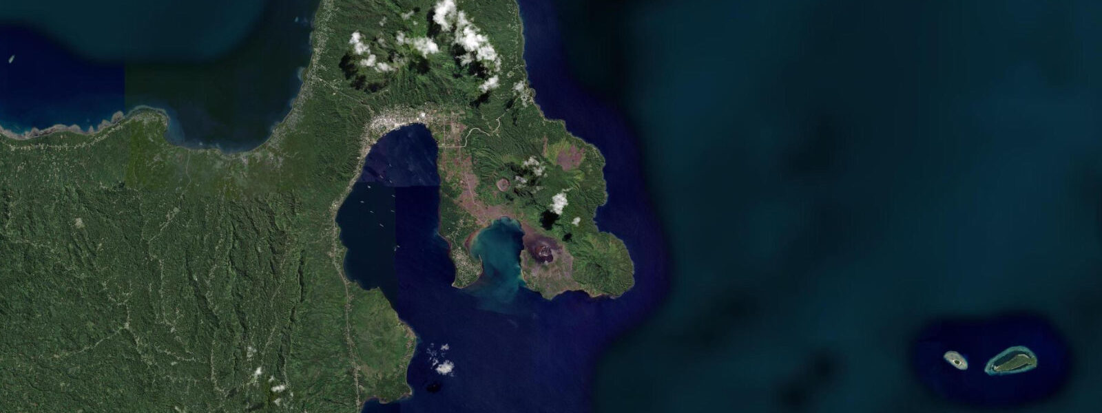
Kimbe is the capital of West New Britain Province and sits on the shore of Kimbe Bay, a wide, deep-water embayment on the northern coast of the island. The bay is recognised by coral reef scientists as one of the most biodiverse marine environments on Earth: more than 400 species of coral and over 900 species of reef fish have been recorded in the bay's waters, numbers that exceed comparable survey sites throughout the Indo-Pacific. Kimbe Bay sits within the Coral Triangle — the roughly triangular area encompassing the Philippines, Indonesia, and Papua New Guinea that contains the highest marine biodiversity on the planet — and represents one of the Coral Triangle's richest individual bay systems.
The town of Kimbe is a working provincial capital rather than a tourist town: the palm oil industry dominates the provincial economy, and the oil palm plantations that cover much of West New Britain's interior are visible from the bay and from the road inland. The port handles palm oil export shipments, supply vessels, and inter-island cargo. The town has the services expected of a provincial capital — markets, fuel, a hospital, and basic accommodation — but the reef is the reason international visitors arrive.
Tide data for Kimbe is derived from Open-Meteo Marine's global ocean model. Timing accuracy is within ±45 minutes; height accuracy is within ±0.2 to 0.3 metres. Kimbe Bay experiences mixed semidiurnal tides with a spring range of approximately 1.5 to 2.5 metres, consistent with the West New Britain coast's exposure to the Bismarck Sea tidal signal. Two unequal high tides and two unequal low tides each day; the diurnal inequality is moderate.
For divers, the underwater topography of Kimbe Bay is the draw: a series of seamounts, coral pinnacles, and reef walls rising from a deep-water bay interior. The pinnacles — shallow underwater mountains with vertical walls — concentrate fish life in ways that flat reef cannot. A single Kimbe Bay seamount can hold hundreds of species in a single dive; the coral coverage on the pinnacle walls is among the densest in the world. Current on the exposed seamounts runs with the tidal cycle, and the incoming tide brings cleaner open-water visibility onto the pinnacles. The target window is the first two hours of the incoming tide, when current is light to moderate and water clarity is at its peak.
For marine biologists and naturalists, Kimbe Bay has a well-established scientific research presence. The Mahonia na Dari conservation centre, west of Kimbe town, has been running reef surveys and conservation programmes since the early 1990s. The centre documents reef biodiversity, runs community-based conservation programmes with local villages, and hosts visiting researchers. Independent visitors can contact the centre for guided reef snorkel and dive excursions that operate under the research programme's protocols.
For families and casual snorkellers, the shallow reef areas on the inner bay are accessible from several lodge jetties. At high water the coral gardens on the inner reef are at 1.0 to 3.0 metres — clear water, calm conditions, and the kind of fish density that most reef destinations advertise but few deliver. The inner bay is sheltered from the trade wind swell that affects the outer bay. The snorkel at high water two to three hours before sunset, when the light angle is useful and the fish are feeding, is particularly productive.
Kimbe town's market is worth a morning visit for the fish section: catches from the bay and from the outer reef areas include species that reflect the bay's extraordinary diversity. Sea cucumbers, traded in the beche-de-mer market, are harvested in the shallows. Giant clams — protected elsewhere in PNG, carefully managed here — have been reintroduced to some Kimbe Bay reef areas through the conservation programme.
The dive and lodge infrastructure at Kimbe Bay is concentrated at resorts west and east of the town proper rather than in the town itself. Transfer time from Kimbe's airstrip to the main dive lodges runs 30 to 60 minutes by road. Flight connections run from Port Moresby and occasionally from Lae via Air Niugini. The bay's dive season runs year-round; the northwest monsoon from November to April brings increased rainfall and occasional strong winds, but does not close the diving.
Tide questions about Kimbe, West New Britain
Quick answers to the most common questions about tide times, range, and water access at Kimbe, West New Britain.
Why is Kimbe Bay considered one of the most biodiverse marine sites in the world?
Kimbe Bay sits within the Coral Triangle — the global centre of marine biodiversity — and has been the subject of sustained scientific survey since the early 1990s. More than 400 coral species and 900 reef fish species have been recorded in the bay, numbers that exceed most equivalent sites in the Indo-Pacific. The bay's bathymetry contributes to this richness: a series of seamounts and pinnacles rising from deep water create upwelling zones, current patterns, and structural complexity that support multiple ecological communities within a single bay system. The Mahonia na Dari research centre has documented this diversity continuously and provides the most complete published record of the bay's biodiversity.
What tidal conditions apply at Kimbe and how do they affect dive planning on the seamounts?
Kimbe experiences mixed semidiurnal tides with a spring range of 1.5 to 2.5 metres. The seamounts and exposed pinnacles in the bay carry tidal current on the flood and ebb — typically 0.5 to 1.5 knots depending on position. The incoming tide brings cleaner open-water visibility onto the pinnacle walls and concentrates plankton that drives fish feeding activity. Dive operators target the first two hours of the incoming tide as the optimal window: manageable current, improving visibility, and active fish behaviour. Tide data is from Open-Meteo Marine — accuracy ±45 minutes and ±0.2 to 0.3 metres.
What is the Mahonia na Dari research centre and can visitors use it?
Mahonia na Dari is a marine conservation and research organisation based west of Kimbe town that has been conducting reef surveys and community conservation programmes in Kimbe Bay since the 1990s. It is the primary source of published scientific data on the bay's biodiversity. The centre operates guided snorkel and dive excursions that run under research protocols — a different experience from standard dive operations, with more focus on documentation and ecological context. Independent visitors can contact the centre to enquire about guided trips. The centre also trains local communities in reef monitoring and works with villages on marine protected area management.
How do I get to Kimbe and which dive lodge should I base at?
Kimbe has scheduled air service from Port Moresby via Air Niugini — flights are several times weekly and the journey is approximately one hour. Occasional services run from Lae. Transfer from Kimbe's Hoskins Airport to the main dive lodges west of town takes 30 to 60 minutes by road. The two established dive lodges — Walindi Plantation Resort and Kalibobo Spirit — are both experienced operations with live-aboard options and access to all the major Kimbe Bay dive sites. Kimbe town itself has basic accommodation suitable for budget travellers, with transport to the reef sites arranged through the lodges or local operators.
Are there species in Kimbe Bay that I won't see at typical Pacific dive destinations?
Kimbe Bay's endemic and rare species list reflects its Coral Triangle position. Pygmy seahorses (Hippocampus bargibanti and H. denise) are reliably found on sea fans on the pinnacle walls. Epaulette sharks, which can walk on their pectoral fins in extremely shallow water, are present on the inner reef flats at low tide. Cuttlefish aggregations occur on the shallow reef areas. The bay holds multiple species of nudibranchs not commonly encountered at island sites further east in the Pacific. The deep channels between the seamounts have documented sightings of thresher sharks and silvertip sharks at the current lines. The diversity is real rather than marketing copy — it follows directly from the Coral Triangle's evolutionary and biogeographical history.
8-day tide table — Kimbe, West New Britain
Heights relative to MSL. Predictions: Open-Meteo Marine (MeteoFrance SMOC, 0.08° grid) — heights relative to MSL (not chart datum / LAT). Model-derived.
| Day | Type | Time | Height |
|---|---|---|---|
| Sat 04 Jul | — | ||
| Sun 05 Jul | High | 03:15 | 1.0m |
| Low | 13:50 | 0.4m | |
| Mon 06 Jul | — | ||
| Tue 07 Jul | — | ||
| Wed 08 Jul | — | ||
| Thu 09 Jul | High | 01:00 | 0.9m |
| Low | 09:10 | 0.3m | |
| Fri 10 Jul | High | 00:45 | 1.0m |
| Low | 09:21 | 0.2m | |
| Sat 11 Jul | High | 01:00 | 1.1m |
| Low | 09:00 | 0.1m | |