Alotau, Milne Bay Province, PNG tide times
Alotau, Milne Bay Province, PNG tide forecast — heights relative to MSL.
Today's tide times for Alotau, Milne Bay Province, PNG
Tide times at Alotau, Milne Bay Province, PNG on Saturday, 4 July 2026: first low tide at 12:00pm. Sunrise 06:16am, sunset 05:48pm.
Tide chart for Alotau, Milne Bay Province, PNG
24-hour cosine-interpolated curve around the present moment. Heights relative to MSL. Predictions: Predictions: Open-Meteo Marine (MeteoFrance SMOC, 0.08° grid).
Sun, moon and conditions on Sat 04 Jul
Snapshot at build time — refreshes daily. Sea state from Open-Meteo Marine.
Highs and lows next 7 days
Every predicted high and low for the next week, with the daily tidal coefficient (0–120; higher = bigger swing, > 95 means stronger currents).
Other spots nearby
The three closest curated TideTurtle locations to Alotau, Milne Bay Province, PNG, measured by great-circle distance.
Today's solunar windows
Solunar tradition: major periods are the ≈3h windows around moon transit and opposition; minor are ≈2h around moonrise and moonset. Pair with the local tide stage and wind for the best read.
Cycle dates near Alotau, Milne Bay Province, PNG
Last spring tide on Sat 04 Jul (range 0.8m). Next spring tide on Fri 10 Jul (range 0.9m). Next neap on Mon 06 Jul.
Spring tides cluster around new and full moons (biggest swings). Neap tides land on quarter moons (smallest swings). See the spring tide and neap tide glossary entries for the why.
About tides at Alotau, Milne Bay Province, PNG
A short guide to the coastline at Alotau, Milne Bay Province, PNG — geography, sea state, and what the tide is actually doing under your feet.
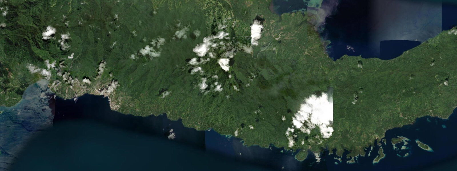
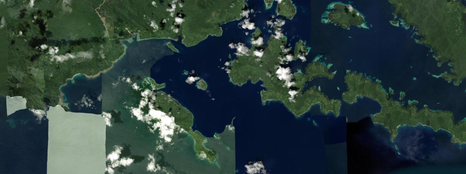
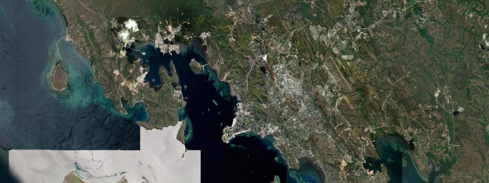
Alotau is the provincial capital of Milne Bay Province and the main town on the shores of Milne Bay at the southeastern tip of Papua New Guinea's mainland. The bay is wide and deep, draining southward into the Solomon Sea, flanked by steep jungle hills on both sides. Milne Bay Province extends beyond the mainland shore through the D'Entrecasteaux Islands, the Louisiade Archipelago, and the Woodlark and Trobriand Islands — a vast province of mostly small and medium islands, most with negligible tourist infrastructure, sitting at the epicentre of the Coral Triangle.
The Battle of Milne Bay in August and September 1942 was the first Allied land defeat of Japanese forces in the Pacific War. Japanese marines landed at the eastern end of Milne Bay intending to take the Allied airstrip at Gurney and open an overland route to Port Moresby; the Australian and American forces defending the airstrip held the position and drove the Japanese back in two weeks of brutal fighting in the rain and jungle. The battle is documented at the Milne Bay WWII Memorial and museum at Gurney Airport, 11 km from Alotau, with preserved runway segments, artefacts, and interpretive maps. For historians of the Pacific War, this is a significant site — the strategic importance of the defeat reversed the momentum of Japanese expansion.
The marine environment is the primary reason marine biologists, underwater photographers, and specialist divers travel from Europe, the US, and Japan to reach Alotau. Milne Bay Province sits within the Coral Triangle — the triangular area between Indonesia, Papua New Guinea, and the Philippines that contains the greatest measured marine biodiversity on Earth. The specific attraction is muck diving: silty bays with dark sandy bottoms that appear uninviting on the surface but harbour cryptic species in concentrations not found elsewhere. The Milne Bay muck sites have been systematically documented by dive researchers since the 1990s; the species list from a single dive at a named site like the Dinah's Beach muck can include 15 to 20 nudibranch species, 3 or 4 cephalopod species (mimic octopus, mototi octopus, wonderpus octopus), frogfish in multiple colour morphs, and fish species new to science at a rate that has made Milne Bay a reference location for the description of Coral Triangle biodiversity.
Pacific semidiurnal, spring range 1.5 to 2.0 m. Muck sites in the bay silts are best dived at slack water — low current and settled bottom visibility. The channel dive sites in the passages between Milne Bay and the D'Entrecasteaux Islands benefit from the running tidal current of 1 to 2 knots for pelagic fish aggregations and visibility. Predictions on this page come from Open-Meteo Marine (gridded model, ±45 min / ±0.2–0.3 m). The annual Milne Bay Festival in Alotau (held in September each year) brings traditional canoe racing, cultural performances, and dancing groups from across the province to the Alotau waterfront. The festival is one of the few occasions when the cultural diversity of Milne Bay Province — dozens of distinct language and cultural groups — is visible in one location. Accommodation in Alotau fills during the festival period; book well in advance if planning to visit then. Alotau was the site of the Battle of Milne Bay in 1942, one of the decisive early engagements of the Pacific War, and war history tourism draws visitors alongside the diving. The Milne Bay Marine Park, gazetted in 2016, covers reef areas at the bay entrance. Tidal range at Alotau is moderate — around 1.5 m spring range — producing enough current in the bay's passages to drive the reef growth for which Milne Bay is internationally known. Dive operators work the pass at Cape Vogel and the sites around the China Straits on the ebb tide when visibility is at its best; the flood brings mixed water from the deeper bay and reduces clarity on the inner reef sites. The Tawali Resort dive operation, historically one of the country's most productive, uses tidal tables as a primary planning tool; guests are briefed on which passes work on flood versus ebb. Shore access to the market and town waterfront is straightforward from the main wharf at all tidal states.
Tide questions about Alotau, Milne Bay Province, PNG
Quick answers to the most common questions about tide times, range, and water access at Alotau, Milne Bay Province, PNG.
When is the next high tide at Alotau?
The hero block shows the next predicted high at Alotau in Papua New Guinea Time (PGT, UTC+10). Pacific semidiurnal, spring range 1.5 to 2.0 m. Muck dive sites in the bay silts are best at slack water — the lowest current and settled bottom. Channel dive sites in the D'Entrecasteaux passages benefit from 1 to 2 knot tidal current for pelagic fish aggregations. Predictions from Open-Meteo Marine (gridded model, ±45 min / ±0.2–0.3 m). Muck dive sites in the bay silts are most productive at slack water when the current is minimal and the sediment is settled; plan dive entries to the predicted slack ±30 minutes.
What is the tidal range at Alotau?
Spring range runs 1.5 to 2.0 m; neap range about 0.7 to 1.0 m. The Milne Bay muck sites are in protected silty areas where the tidal current is reduced; slack water (approximately 30 minutes either side of the predicted high and low) gives the best conditions for finding and photographing cryptic species. The outer channel sites between Milne Bay and the D'Entrecasteaux Islands run 1 to 2 knot current on spring tides — plan drift and current dives for those windows.
Where do these predictions come from?
Open-Meteo Marine, a free gridded global ocean model, accuracy ±45 min / ±0.2–0.3 m. The National Maritime Safety Authority of Papua New Guinea publishes tidal data; Alotau is the reference station for Milne Bay Province in the PNG tide tables. National Maritime Safety Authority of PNG publishes tidal data; Alotau is the Milne Bay Province reference station. Local dive operators apply this data for current-dependent site planning. Official tide tables for Papua New Guinea ports are produced by the National Maritime Safety Authority (NMSA) of Papua New Guinea; these provide harmonic-based predictions for navigation use.
What is muck diving and is Alotau suitable for beginners?
Muck diving means diving in silty, shallow bays specifically to find cryptic and unusual marine species — nudibranchs, octopus, pipefish, frogfish, stargazers — rather than coral scenery. Milne Bay muck sites have dark sandy bottoms and visibility of 5 to 10 m; the appeal is not visual drama but species rarity and abundance. Competent open-water divers with good buoyancy control get the most from muck diving; poor buoyancy disrupts the silt and destroys visibility for the whole group. Beginners comfortable with the buoyancy requirements can participate; it is the photographic and naturalist interest that drives return visits, not scenery.
Is this safe to use for navigation?
No. TideTurtle is a planning tool. Milne Bay, the D'Entrecasteaux passages, and the Solomon Sea approaches to Alotau require proper chart navigation. The inter-island passages carry tidal current of 1 to 2 knots and have reef hazards on both sides of the navigable channels. Use National Maritime Safety Authority of PNG chart products for vessel operations. National Maritime Safety Authority of PNG chart products cover Milne Bay and the D'Entrecasteaux passages; the inter-island channels have reef and current hazards requiring proper chart navigation.
8-day tide table — Alotau, Milne Bay Province, PNG
Heights relative to MSL. Predictions: Open-Meteo Marine (MeteoFrance SMOC, 0.08° grid) — heights relative to MSL (not chart datum / LAT). Model-derived.
| Day | Type | Time | Height |
|---|---|---|---|
| Sat 04 Jul | Low | 12:00 | 0.3m |
| Sun 05 Jul | High | 03:10 | 1.1m |
| Low | 12:00 | 0.4m | |
| Mon 06 Jul | High | 03:00 | 1.0m |
| Low | 11:55 | 0.4m | |
| Tue 07 Jul | High | 03:00 | 1.0m |
| Wed 08 Jul | — | ||
| Thu 09 Jul | Low | 10:18 | 0.3m |
| High | 19:10 | 1.0m | |
| Fri 10 Jul | Low | 10:12 | 0.2m |
| High | 19:10 | 1.0m | |
| Sat 11 Jul | Low | 09:00 | 0.1m |