Pedasí tide times
Pedasí tide forecast — heights relative to MSL.
Today's tide times for Pedasí
Tide times at Pedasí on Sunday, 21 June 2026: first low tide at 01:50am, first high tide at 08:10am, second low tide at 02:24pm, second high tide at 08:32pm. Sunrise 06:05am, sunset 06:38pm.
Tide chart for Pedasí
24-hour cosine-interpolated curve around the present moment. Heights relative to MSL. Predictions: Predictions: Open-Meteo Marine (MeteoFrance SMOC, 0.08° grid).
Sun, moon and conditions on Sun 21 Jun
Snapshot at build time — refreshes daily. Sea state from Open-Meteo Marine.
Highs and lows next 7 days
Every predicted high and low for the next week, with the daily tidal coefficient (0–120; higher = bigger swing, > 95 means stronger currents).
Other spots nearby
The three closest curated TideTurtle locations to Pedasí, measured by great-circle distance.
Today's solunar windows
Solunar tradition: major periods are the ≈3h windows around moon transit and opposition; minor are ≈2h around moonrise and moonset. Pair with the local tide stage and wind for the best read.
Cycle dates near Pedasí
Last spring tide on Sat 20 Jun (range 2.9m). Next spring tide on Fri 26 Jun (range 2.2m). Next neap on Thu 25 Jun.
Spring tides cluster around new and full moons (biggest swings). Neap tides land on quarter moons (smallest swings). See the spring tide and neap tide glossary entries for the why.
About tides at Pedasí
A short guide to the coastline at Pedasí — geography, sea state, and what the tide is actually doing under your feet.
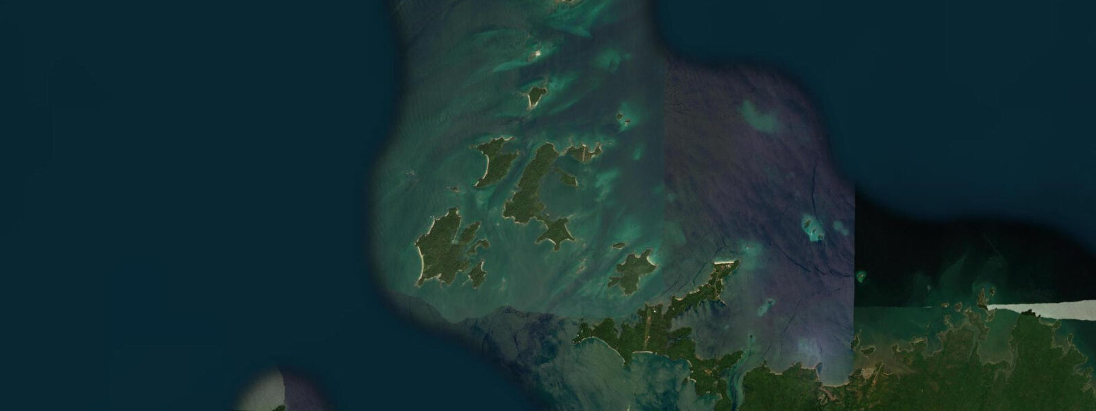
Pedasí sits near the tip of the Azuero Peninsula, where Panama's dry arc meets the Pacific. The Azuero is one of the driest and most distinctly seasonal regions in Central America: annual rainfall of 1,200 to 1,800 mm, a defined dry season running December through April, and an inland landscape of cattle pasture, sugar cane, and traditional town centres built around Catholic church plazas. The town of Pedasí itself is small — a few thousand permanent residents — but it is a well-preserved example of a traditional Azuero settlement, with a main square, colonial-era church, and low-rise buildings in a grid pattern that has not been overwhelmed by resort development. The Azuero Peninsula's traditional culture is one of the most intact in Panama: the Carnival celebrations in the Azuero towns (the Carnaval in La Villa de Los Santos and the Carnaval in Las Tablas, 60 km north of Pedasí) are considered the most elaborate and traditional in Panama, drawing national and international visitors in February. Pedasí's own Carnival is smaller but follows the same tradition. The coast near Pedasí faces the Pacific southwest and receives swell from both the South Pacific storm tracks (primary) and the northwest North Pacific (secondary, in the dry season). The primary surf beach in the area is Playa Venao, 20 km south on the Azuero tip, a W-SW facing beach break that works on southerly groundswell; tidal range here is approximately 4.5 m, and the tide effect on wave quality is significant — low tide exposes the rock and sand bottom, reducing wave shape, while the incoming mid-tide is generally preferred. The town of Pedasí is the service base for both Playa Venao and the diving and snorkelling around Isla Iguana Wildlife Refuge, 5 km offshore from Pedasí itself. Isla Iguana is a small island with a coral reef (one of the least disturbed on the Pacific coast of Panama), a colony of magnificent frigatebirds, and a beach that sea turtles (olive ridley, Lepidochelys olivacea) use for nesting. Boat trips from Pedasí's small dock run to Isla Iguana and for whale watching from July onward. Humpback whales aggregate in the waters off the Azuero tip from July through November — the convergence of the Humboldt and Panama Bight currents concentrates the food supply, and the Azuero coast is one of the most reliable humpback congregation points in the eastern Pacific. The macrotidal Pacific regime at Pedasí (spring range ~4.5 m) means low-water beach access to Isla Iguana and the tidal flats near the Tonosí River mouth varies significantly. At spring lows, the approach to the island's beach is through shallow exposed flats; small boat landing requires timing around mid-to-high tide. The dry season (December–April) transforms the Azuero coast: vegetation browns, dust covers the roads, and the dry wind from the north (the Panamanian Norte) keeps the coast dry and cool by tropical standards. The wet season (May–November) brings green hills, higher surf, and whale season simultaneously. Tide predictions at Pedasí come from Open-Meteo Marine, a gridded global ocean model; accuracy is typically ±45 min on timing and ±0.2–0.3 m on height. AMP (Autoridad Marítima de Panamá) publishes the official Pacific-side tide tables for the Azuero coast.
The Azuero Peninsula's position on the Pacific dry arc has shaped its culture as much as its ecology. The region was settled and cleared for cattle ranching and subsistence agriculture earlier than most of Panama's interior; the lowland forest that once covered the peninsula has been almost entirely converted over four centuries, with cattle ranching the dominant land use. What remains is a region with a strong agricultural identity, a distinct craft tradition (the pollera dress, the pintao hat, devil mask festivals), and a coast that has been relatively insulated from the mass tourism development that reached the Pacific coast of Costa Rica in the 1990s and 2000s. That insulation is partly geographical — the Azuero is not on the way to anywhere else — and partly cultural: the communities here have been deliberate about the pace of development. Pedasí's reputation as a desirable relocation destination for foreign retirees (primarily North American and European) has grown since the 2010s, which has brought investment in accommodation and services without transforming the town's essential character.
Tide questions about Pedasí
Quick answers to the most common questions about tide times, range, and water access at Pedasí.
What is the tidal range at Pedasí and how does it affect the beaches?
The spring tidal range at Pedasí on the Azuero Pacific coast is approximately 4.5 m — Pacific macrotidal. The practical effect on the beach is dramatic by European or Mediterranean standards: at spring low water, the sandy tidal flat in front of the main beaches extends 100 to 200 m beyond the high-tide line, and rock outcrops and reef sections that are underwater at high tide are fully exposed. At Playa Venao (20 km south), the wave quality changes significantly across the tidal cycle — the incoming mid-tide window is generally favoured for surf. For boat access to Isla Iguana Wildlife Refuge (5 km offshore), the low-spring period requires timing the departure for mid-to-high water to avoid the shallow exposed approach flats. Tide predictions come from Open-Meteo Marine; accuracy ±45 min timing, ±0.2–0.3 m height. AMP is the authoritative source for Azuero Pacific tide tables.
When is humpback whale season at Pedasí and how do I see them?
Humpback whales (Megaptera novaeangliae) aggregate in the Pacific waters off the Azuero Peninsula from July through November. The Southern Hemisphere population migrates from Antarctic feeding grounds; the Azuero coast is one of the most consistently productive congregation sites in the eastern Pacific, where the convergence of the Humboldt and Panama Bight currents concentrates prey. Peak activity is typically August through October, when mother and calf pairs are most commonly sighted. Whale-watching boat trips operate from Pedasí's small dock; departures are generally morning, coinciding with calmer sea conditions. The macrotidal range means the dock approach can be shallow at low water — operators schedule around the tide. Sightings from the Pedasí town beach or from the Isla Iguana boat crossing are also reported regularly during peak season.
What is Isla Iguana and how do I visit it from Pedasí?
Isla Iguana Wildlife Refuge is a small island 5 km offshore from Pedasí, managed by the Panamanian Ministry of Environment (MiAmbiente). The island holds one of the least disturbed coral reefs on Panama's Pacific coast — roughly 18 ha of reef — and a colony of magnificent frigatebirds (Fregata magnificens) that nest in the island's trees. Olive ridley sea turtles (Lepidochelys olivacea) nest on the beaches from May through November. Snorkelling and swimming on the coral reef are the primary visitor activities; visibility on calm days reaches 10 to 15 m. Boat trips from Pedasí dock take 20 to 30 minutes; departure and return timing should account for the 4.5 m tidal range, which affects the water depth over the approach reef flat significantly. A park entrance fee applies; arrange the trip through operators in Pedasí town, who handle the permits and boat timing relative to the tide.
What is the Panama Carnival tradition at Pedasí?
The Azuero Peninsula hosts what many Panamanians consider the most traditional Carnival celebrations in the country. The most celebrated events are at La Villa de Los Santos and Las Tablas (60 km north of Pedasí), where elaborate pollera costumes, traditional Azuero music (tamborito, cumbia), and multi-day street celebrations run through the four days before Ash Wednesday. Pedasí's own Carnival is smaller but maintains the same tradition: pollera dress, folk music, and the communal street party format that distinguishes the Azuero Carnival from Panama City's more commercialised version. Accommodation in Pedasí fills completely in Carnival week; the town's population multiplies several-fold. The Azuero pollera (a layered white embroidered dress considered Panama's national costume) is made in workshops in the peninsula towns year-round; craftspeople in Pedasí and La Villa de Los Santos are among the most recognised producers.
What surf conditions are like at Playa Venao near Pedasí?
Playa Venao is 20 km south of Pedasí on the Azuero tip, a W-SW facing beach break that works primarily on South Pacific groundswell from May through October. The swell arrives from Southern Ocean storm systems, producing long-period (14 to 18 second) pulses that give the wave a clean quality on the right tide. The 4.5 m tidal range is the primary planning constraint: at low spring tide, the rocky and sandy bottom in front of the break is too shallow for comfortable surfing; the incoming mid-tide (approximately 2 hours before the predicted high) is the preferred window for most conditions. At full high spring, the wave can lose shape as it moves into deeper water. A mid-range surf school and several surf camps operate at Venao, catering to learner through intermediate surfers; the break at full south swell and optimal tide is best suited to intermediate and above. The December–April dry season brings north-northwest swell (less consistent but present) alongside the seasonal land breeze that grooms the surface.
7-day tide table — Pedasí
Heights relative to MSL. Predictions: Open-Meteo Marine (MeteoFrance SMOC, 0.08° grid) — heights relative to MSL (not chart datum / LAT). Model-derived.
| Day | Type | Time | Height |
|---|---|---|---|
| Sun 21 Jun | Low | 01:50 | -1.0m |
| High | 08:10 | 2.0m | |
| Low | 14:24 | -0.7m | |
| High | 20:32 | 1.6m | |
| Mon 22 Jun | Low | 02:42 | -0.8m |
| High | 09:06 | 1.8m | |
| Low | 15:23 | -0.6m | |
| High | 21:34 | 1.4m | |
| Tue 23 Jun | Low | 03:36 | -0.6m |
| High | 10:03 | 1.6m | |
| Low | 16:25 | -0.6m | |
| High | 22:38 | 1.3m | |
| Wed 24 Jun | Low | 04:35 | -0.5m |
| High | 11:02 | 1.6m | |
| Low | 17:25 | -0.5m | |
| High | 23:43 | 1.3m | |
| Thu 25 Jun | Low | 05:35 | -0.4m |
| High | 12:00 | 1.5m | |
| Low | 18:20 | -0.6m | |
| Fri 26 Jun | High | 00:40 | 1.3m |
| Low | 06:32 | -0.4m | |
| High | 12:53 | 1.5m | |
| Low | 19:15 | -0.6m | |
| Sat 27 Jun | High | 01:34 | 1.3m |
| Low | 07:25 | -0.4m | |
| High | 13:41 | 1.6m | |
| Low | 18:00 | -0.2m |