Coiba Island tide times
Coiba Island tide forecast — heights relative to MSL.
Today's tide times for Coiba Island
Tide times at Coiba Island on Sunday, 21 June 2026: first low tide at 01:47am, first high tide at 08:07am, second low tide at 02:23pm, second high tide at 08:27pm. Sunrise 06:12am, sunset 06:45pm.
Tide chart for Coiba Island
24-hour cosine-interpolated curve around the present moment. Heights relative to MSL. Predictions: Predictions: Open-Meteo Marine (MeteoFrance SMOC, 0.08° grid).
Sun, moon and conditions on Sun 21 Jun
Snapshot at build time — refreshes daily. Sea state from Open-Meteo Marine.
Highs and lows next 7 days
Every predicted high and low for the next week, with the daily tidal coefficient (0–120; higher = bigger swing, > 95 means stronger currents).
Other spots nearby
The three closest curated TideTurtle locations to Coiba Island, measured by great-circle distance.
Today's solunar windows
Solunar tradition: major periods are the ≈3h windows around moon transit and opposition; minor are ≈2h around moonrise and moonset. Pair with the local tide stage and wind for the best read.
Cycle dates near Coiba Island
Last spring tide on Sat 20 Jun (range 2.6m). Next spring tide on Fri 26 Jun (range 2.0m). Next neap on Thu 25 Jun.
Spring tides cluster around new and full moons (biggest swings). Neap tides land on quarter moons (smallest swings). See the spring tide and neap tide glossary entries for the why.
About tides at Coiba Island
A short guide to the coastline at Coiba Island — geography, sea state, and what the tide is actually doing under your feet.
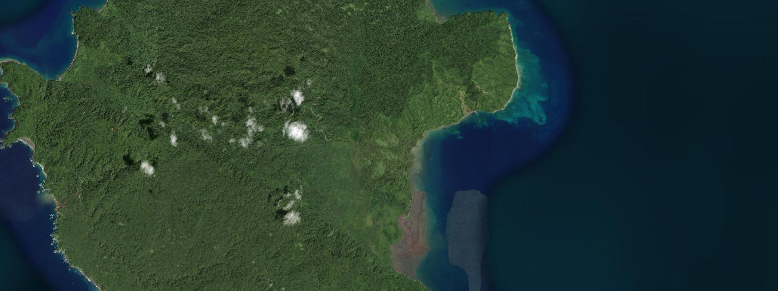
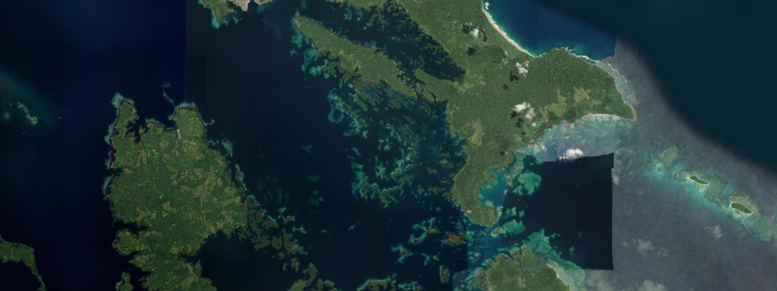
Coiba Island is the largest island in Central America at 503 km² and one of the largest marine protected areas in the eastern Pacific. The island and its surrounding waters form the Coiba National Park (designated UNESCO World Heritage Site in 2005), covering 430,825 ha of marine area across 38 islands and islets. The protected status came after nearly 85 years of use as a penal colony: Coiba hosted an isolation prison from 1919 to 2004, a use that kept the island largely inaccessible and inadvertently preserved its ecosystems. The forest on Coiba Island is the largest Pacific island rainforest north of the Galápagos — primary tropical forest covering 80% of the land area, unlogged and intact. The coral reef system encircling the island is the largest in the eastern Pacific north of the equator, covering approximately 1,700 ha of reef at depths from 2 m to 50+ m. The tidal regime is Pacific macrotidal, consistent with the Veraguas Province coast. Spring range reaches 4.5 to 5.5 m. The significant tidal flux through the island passages drives strong currents at channel constrictions; the tidal ebb from the shallower bay sections on the island's eastern side can run at 2 to 3 knots through the narrower passes. The park's extensive tidal flat areas expose markedly at spring lows: on the sheltered eastern and southern bays, the low-spring water line retreats 200 to 400 m from the high-tide mark on the gentle sand flats. The wildlife aggregations at Coiba are the primary reason for the long boat journey from Santa Catalina. Hammerhead sharks (Sphyrna lewini) school around the seamounts and current lines at 15 to 30 m; whale sharks (Rhincodon typus) are sighted year-round with peak probability from July through October. Pacific manta rays (Mobula birostris) aggregate at cleaning stations on the deeper reef faces. Humpback whales are present from July through October for Southern Hemisphere breeding migrations; mother and calf pairs are regularly photographed in the shallow bay on the island's lee side. Bottlenose dolphins and spotted dolphins are present year-round. The reef fish diversity is exceptional — the park protects a node where the Humboldt Current, the Panama Bight, and the Costa Rica Coastal Current all intersect, creating an upwelling-influenced productive zone. Surgeonfish, parrotfish, and grouper are abundant; snappers school at the current lines. The park management model limits daily visitor numbers through a permit system administered by AMP. Day-trip access from Santa Catalina requires a park entrance permit and a certified guide for all activities; the fees are incorporated into operator packages. Independent arrival is permitted on a live-aboard vessel with a prior permit. The former prison infrastructure — guards' quarters, cell blocks, the main prison building — remains on the island's northern section and is accessible on guided walks from the ranger station. The ranger station at Granito de Oro (a small islet on the island's northern tip) is the main visitor entry point. Tide predictions at Coiba Island come from Open-Meteo Marine, a gridded global ocean model; accuracy is typically ±45 min on timing and ±0.2–0.3 m on height. AMP (Autoridad Marítima de Panamá) publishes official Pacific-side tide tables for the Coiba area, which boat operators use for passage timing.
The park's terrestrial biodiversity is also exceptional. Coiba Island has been isolated from the mainland long enough to develop several endemic subspecies: the Coiba spinetail (Cranioleuca dissita), a bird found nowhere else, and distinctive subspecies of howler monkey, white-tailed deer, and crested eagle subspecies. The isolation of the penal colony years prevented hunting and agricultural conversion; the primary forest that covers 80% of the island is the legacy of that enforced inaccessibility. Researchers from the Smithsonian Tropical Research Institute (based in Panama) have documented the island's biodiversity systematically since the early 2000s; the species list for the marine park alone runs to several thousand entries. For visitors arriving on day trips from Santa Catalina, the visible above-water wildlife (scarlet macaws, frigatebirds, howler monkeys audible from the forest edge near the ranger station) adds a terrestrial dimension to the marine focus of most park visits.
Tide questions about Coiba Island
Quick answers to the most common questions about tide times, range, and water access at Coiba Island.
How do I visit Coiba National Park and how long does it take?
The primary access to Coiba National Park is by fast panga boat from Santa Catalina on the Veraguas coast — approximately 1.5 hours each way over open Pacific ocean. Day trips depart from Santa Catalina at 06:30 to 07:00 and return by mid-to-late afternoon. Operators in Santa Catalina village arrange the visit including mandatory park permits and certified guide; this is required by AMP (Autoridad Marítima de Panamá). Live-aboard dive boats that operate multi-night itineraries in the park are the alternative for divers who want extended time on the dive sites. There is no regular ferry service; all access is through organised boat operators. The crossing is open Pacific ocean — conditions must be suitable: the trip is cancelled in strong wind or heavy swell. Advance booking with operators is strongly recommended from July through October, when demand is highest.
What sharks can I see diving at Coiba?
Scalloped hammerhead sharks (Sphyrna lewini) are the signature species at Coiba — schools of juveniles aggregate at seamount and current-line dive sites at 15 to 30 m depth. The hammerhead aggregations are most reliable at the site known as Bahía Damas and the offshore seamount sites visited by live-aboard operators. Whale sharks (Rhincodon typus) are sighted year-round with peak probability July through October; encounters typically occur in open water at 10 to 25 m depth as the whale shark feeds on current-aggregated plankton. Nurse sharks and whitetip reef sharks are present on the reef flats. Bull sharks and tiger sharks are occasionally reported in the park but are not a regular feature of organised dive sites. The shark diversity at Coiba has been cited by international dive media as among the top ten in the world for Pacific pelagic species; the UNESCO listing reinforces the protected status that maintains those populations.
What is the tidal range at Coiba Island and how does it affect diving?
Coiba Island has a Pacific macrotidal regime with a spring range of 4.5 to 5.5 m. The large tidal range drives strong currents through the passages between Coiba and the surrounding smaller islands — experienced as 1 to 3 knot flows at the constriction points and around the exposed reef promontories. Dive operators plan their site visits around slack water — the 30 to 60 minute period either side of the predicted high or low when current is minimal and visibility is best. For the current-dependent sites (hammerhead and whale shark aggregation points), a moderate flood current is sometimes preferred by guides who know where the animals position relative to the flow. The tidal flat exposure at low spring is dramatic in the sheltered bays: 200 to 400 m of flat bare seafloor visible from the beach. AMP publishes the official tide tables for this area; the site-specific current timing is part of the operational knowledge of regular operators.
What is the history of the Coiba penal colony?
Coiba Island hosted a Panamanian penal colony from 1919 to 2004 — 85 years of use as an isolation prison that simultaneously kept the island's ecosystem intact. The original establishment was a low-security agricultural colony; the regime became harder through the 20th century, and during the Noriega period (1983–1989) the island was used for political prisoners alongside ordinary criminal sentences. The prison's isolation — 30 km of open Pacific from the mainland — made escape attempts almost invariably fatal. After Noriega's removal and over subsequent years, human rights organisations documented abuse at the facility; it was closed in 2004. The UNESCO World Heritage listing followed in 2005. The main prison building, cell blocks, and guards' infrastructure remain on the northern section of the island near the current ranger station, accessible on guided walks. A small number of former prison staff and their families remained on the island as park workers after closure.
Are humpback whales visible from the boat on the Santa Catalina to Coiba crossing?
Humpback whales (Megaptera novaeangliae) are present in the waters between Santa Catalina and Coiba Island from approximately July through October; this is the peak of the Southern Hemisphere breeding migration. The open Pacific passage between the mainland and the island is productive whale-sighting habitat — the upwelling-influenced currents that make Coiba's reefs productive also concentrate the food supply the whales follow. On day trips departing in July through October, sightings from the boat on the outward or return crossing are common rather than exceptional; operators report sightings on the majority of trips in August and September. Mother and calf pairs are the most common encounter type. Humpback song is audible to snorkellers and divers in the water around the island during peak season. The approach to surfacing whales from a panga requires standard whale-watching protocol — engines cut, minimum approach distance 50 m — which operators apply routinely.
7-day tide table — Coiba Island
Heights relative to MSL. Predictions: Open-Meteo Marine (MeteoFrance SMOC, 0.08° grid) — heights relative to MSL (not chart datum / LAT). Model-derived.
| Day | Type | Time | Height |
|---|---|---|---|
| Sun 21 Jun | Low | 01:47 | -0.8m |
| High | 08:07 | 1.8m | |
| Low | 14:23 | -0.6m | |
| High | 20:27 | 1.5m | |
| Mon 22 Jun | Low | 02:40 | -0.6m |
| High | 09:03 | 1.7m | |
| Low | 15:22 | -0.5m | |
| Tue 23 Jun | High | 09:58 | 1.6m |
| Low | 16:24 | -0.4m | |
| High | 22:32 | 1.3m | |
| Wed 24 Jun | Low | 04:35 | -0.3m |
| High | 10:57 | 1.5m | |
| Low | 17:21 | -0.4m | |
| High | 23:33 | 1.2m | |
| Thu 25 Jun | Low | 05:35 | -0.3m |
| High | 11:51 | 1.5m | |
| Low | 18:19 | -0.4m | |
| Fri 26 Jun | High | 00:33 | 1.2m |
| Low | 06:32 | -0.3m | |
| High | 12:46 | 1.5m | |
| Low | 19:14 | -0.5m | |
| Sat 27 Jun | High | 13:35 | 1.5m |
| Low | 18:00 | -0.1m |