Bocas del Toro tide times
Bocas del Toro tide forecast — heights relative to MSL.
Today's tide times for Bocas del Toro
Tide times at Bocas del Toro on Friday, 31 July 2026: first high tide at 01:50am, first low tide at 09:10am. Sunrise 06:19am, sunset 06:51pm.
Tide chart for Bocas del Toro
24-hour cosine-interpolated curve around the present moment. Heights relative to MSL. Predictions: Predictions: Open-Meteo Marine (MeteoFrance SMOC, 0.08° grid).
Sun, moon and conditions on Fri 31 Jul
Snapshot at build time — refreshes daily. Sea state from Open-Meteo Marine.
Highs and lows next 7 days
Every predicted high and low for the next week, with the daily tidal coefficient (0–120; higher = bigger swing, > 95 means stronger currents).
Other spots nearby
The three closest curated TideTurtle locations to Bocas del Toro, measured by great-circle distance.
Today's solunar windows
Solunar tradition: major periods are the ≈3h windows around moon transit and opposition; minor are ≈2h around moonrise and moonset. Pair with the local tide stage and wind for the best read.
About tides at Bocas del Toro
A short guide to the coastline at Bocas del Toro — geography, sea state, and what the tide is actually doing under your feet.
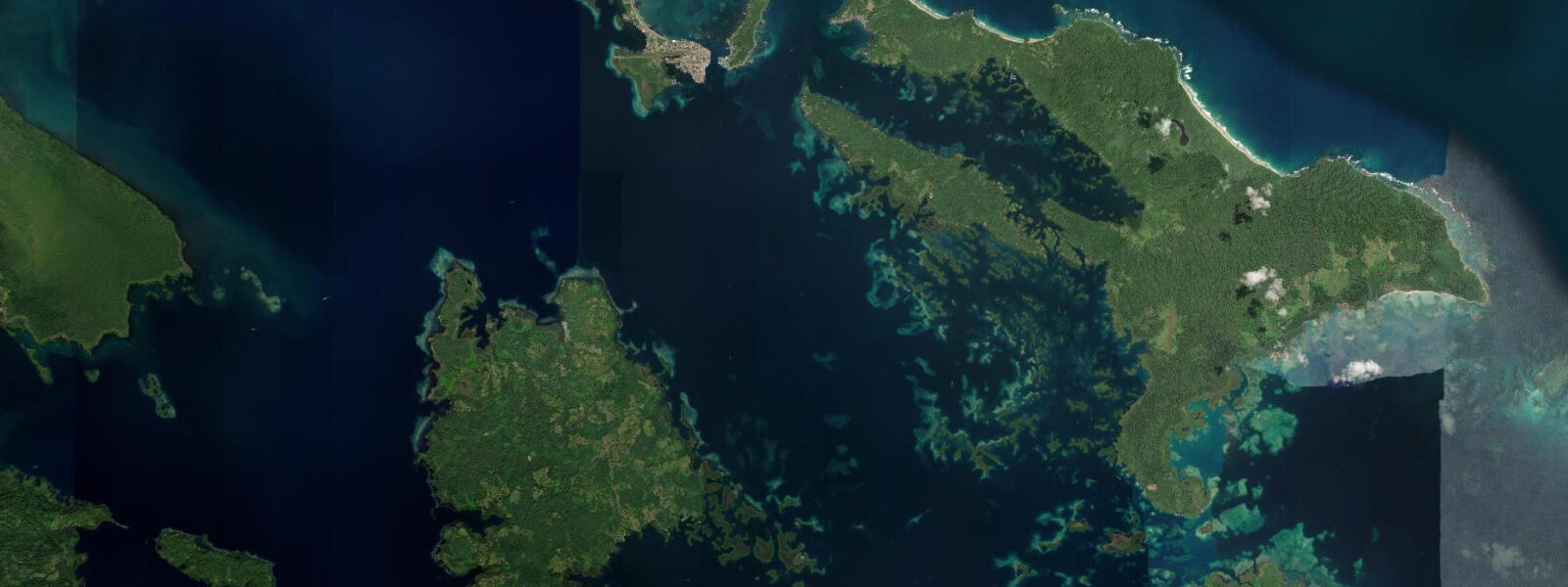
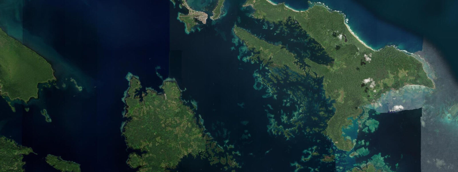
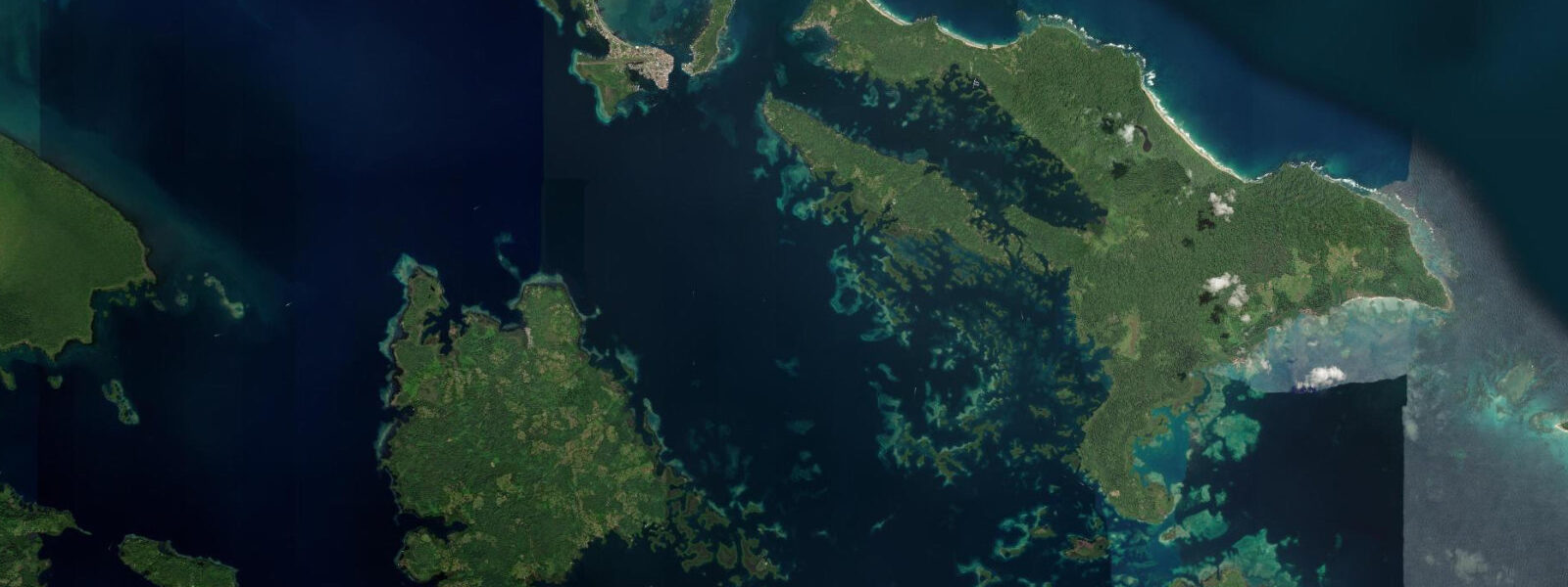
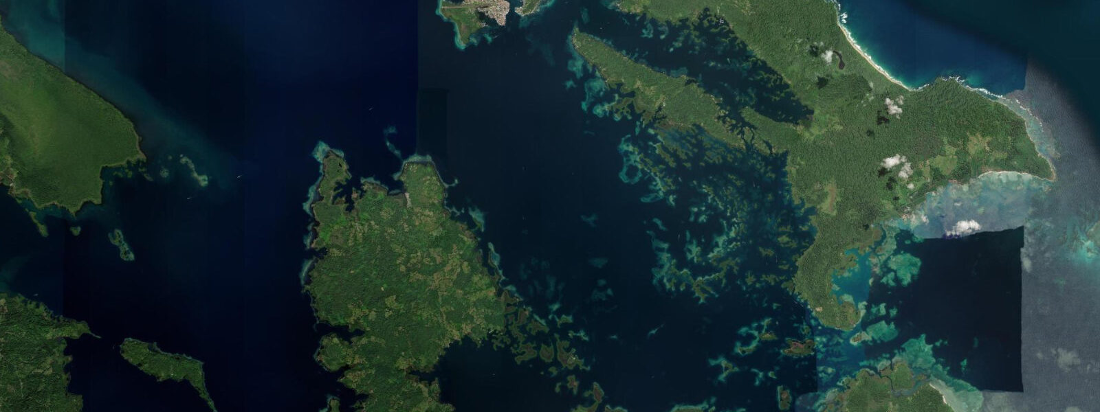
Bocas del Toro sits on the southwestern corner of Isla Colón, the main island of the Bocas del Toro Archipelago on Panama's Caribbean coast. The town — half a dozen grid blocks of painted wooden houses, water taxis, dive shops, and open-air restaurants — is reachable by a 45-minute ferry from the mainland port of Almirante or by air on the short hop from Panama City. The archipelago is a group of islands, mangrove cays, and interconnected channels backed by the Panamanian rain forest on the Talamanca mountain flank.
The Caribbean tidal regime here is the opposite of what Panama City sees on the Pacific side. 5 metres — microtidal, consistent with the low-range Caribbean pattern across the entire western Caribbean arc from the Yucatán down to the Colombian coast. The tide is genuinely there — semidiurnal, two highs and two lows per day — but it is not the dominant driver of water-level variation.
Wind-driven setup from the northeast trade winds, storm surge from Caribbean northswells, and rainfall-driven water-level changes in the mangrove channels all routinely exceed the astronomical tidal signal. Playa Bluff on the northeastern shore of Isla Colón is the spot that most consistently produces surf in the archipelago. The beach faces northeast into the open Caribbean, and the October-to-March northswell season brings clean beach-break waves, typically head-high to overhead, with larger sets on the better pulses.
The current and impact zone at Bluff are serious during active swell: the beach has no reef protection, the shore break is heavy, and the channel along the beach's southern end can pull swimmers. 3-metre low changes the beach-break pitch very little compared to even a half-metre change in swell size. The reef systems around the archipelago are the primary reason most visitors are here.
The Laguna de Bastimentos inside Isla Bastimentos — accessible by water taxi from Bocas Town in 20 to 30 minutes — holds the clearest water and the densest coral coverage in the archipelago. The reef heads in the protected lagoon and the underwater topography along the northern face of Bastimentos support healthy populations of nurse sharks, spotted eagle rays, and extensive soft coral. Punta Hospital on the southern corner of Bastimentos and the reef shallows south of Isla Carenero are the most-visited spots on the short-taxi circuit; both are snorkelling-friendly in calm conditions.
5-metre range makes little practical difference to small-boat navigation in the main channels. The Ngäbe-Buglé community of Salt Creek (Quebrada Sal) on the southern tip of Bastimentos maintains a subsistence fishing economy on the reef margins and mangrove edge. The community runs guided tours into the mangrove interior as a livelihood supplement, and access is through them rather than independently.
Red Frog Beach on the western shore of Bastimentos — named for the red poison dart frogs (Oophaga pumilio) found in the leaf litter behind the beach — is a popular day-trip destination from Bocas Town. The beach faces into the lagoon rather than the open Caribbean, which makes it calmer than Bluff in most conditions. Wizard Beach, on Bastimentos's northwestern shore, faces north and receives enough swell in season to be surfed on chest-high days.
The Bocas del Toro rainy season runs roughly May to November, with the heaviest rains in October-November. The dry season from December to April brings the strongest trade winds and the best northswell for Bluff. Mosquitoes in the mangrove edges are a persistent reality year-round; after-rain evenings require repellent.
INAMEH maintains the regional weather and sea-level monitoring for Bocas del Toro Province. 3 metres on height — model-derived, not a local gauge. 5 metres, the model's height uncertainty can equal or exceed the entire astronomical signal.
The predicted tide is useful for understanding the general rhythm of highs and lows through the day; actual water levels in the mangrove channels and reef shallows are strongly influenced by wind, rainfall, and swell conditions that the tide prediction does not capture.
Tide questions about Bocas del Toro
Quick answers to the most common questions about tide times, range, and water access at Bocas del Toro.
When is the next high tide at Bocas del Toro?
The tide times at the top of this page show the next predicted high at Bocas del Toro in Panama Standard Time (EST, UTC-5, no daylight saving time). The astronomical tide here is semidiurnal — two highs and two lows per day — but the range is very small: 0.3 to 0.5 metres in typical conditions. Wind-driven water-level changes and rainfall runoff into the mangrove channels regularly produce water-level variation comparable to or larger than the astronomical tidal signal, so the predicted tide is a rough rhythm guide rather than a precise level forecast. INAMEH maintains the authoritative sea-level monitoring for the province.
Why is the tide range so small at Bocas del Toro compared to Panama City?
Bocas del Toro is on Panama's Caribbean coast; Panama City is on the Pacific side. The Caribbean Sea has a low tidal range across most of its extent — typically 0.3 to 0.5 metres — because its semi-enclosed basin geometry moderates the tidal signal. The Pacific side of Panama, particularly the Gulf of Panama, experiences 4 to 5 metres of mean range due to the resonant geometry of that basin amplifying the eastern Pacific tidal wave. The 77-kilometre-wide isthmus separates two completely different tidal regimes. Same country, same latitude, one-hour drive apart.
Where does the tide data for Bocas del Toro come from?
Predictions on this page come from Open-Meteo Marine, a free gridded global ocean model. It estimates tidal height from oceanographic equations applied across a geographic grid rather than from harmonic analysis at a dedicated Bocas del Toro gauge — accuracy is typically within plus or minus 45 minutes on timing and 0.2 to 0.3 metres on height — model-derived, not a local gauge. With a mean range of only 0.3 to 0.5 metres, the model height uncertainty can equal or exceed the entire predicted signal at Bocas del Toro. Use the times as a general daily rhythm; for any safety-critical activity, account for wind and swell conditions. INAMEH is the authoritative source for local sea-level monitoring.
Is Playa Bluff safe for swimming and surfing?
Playa Bluff is a serious beach-break, not a beginner spot. The shore break is heavy when the northswell is running (October to March is the core season), the current along the beach can pull hard toward the southern channel, and there is no reef to moderate the wave energy. Strong intermediate and experienced surfers comfortable reading shore-break beach conditions find it the best wave in the archipelago on a quality northswell pulse. For swimming, the reef-protected beaches — Red Frog Beach on Bastimentos's lagoon side, the sheltered coves near Bocas Town — are the safe option. The tidal range at Bluff is negligible as a safety factor; wave size and shore-break intensity are what matters here.
Do the tides affect snorkelling conditions at the Bocas del Toro reefs?
With a mean astronomical range of only 0.3 to 0.5 metres, the tide has a minor direct effect on snorkelling conditions at the archipelago's reefs. Visibility and current in the reef shallows are more strongly influenced by rainfall runoff, wind chop, and swell than by the astronomical tide. After heavy rain events, visibility in the mangrove-adjacent sites around Bastimentos can drop to near zero due to freshwater runoff carrying tannins from the forest. The reef sites on the exposed northern faces of Bastimentos and Colón have the clearest water in settled conditions, but suffer the most from swell surge. Calm mornings in the dry season give the best visibility across all sites.
7-day tide table — Bocas del Toro
Heights relative to MSL. Predictions: Open-Meteo Marine (MeteoFrance SMOC, 0.08° grid) — heights relative to MSL (not chart datum / LAT). Model-derived.
| Day | Type | Time | Height |
|---|---|---|---|
| Fri 31 Jul | High | 01:50 | 0.3m |
| Low | 09:10 | 0.0m | |
| Sat 01 Aug | High | 02:10 | 0.3m |
| Low | 09:45 | 0.1m | |
| Sun 02 Aug | — | ||
| Mon 03 Aug | High | 04:00 | 0.3m |
| Low | 10:00 | 0.1m | |
| High | 16:50 | 0.4m | |
| Tue 04 Aug | Low | 10:00 | 0.1m |
| Wed 05 Aug | High | 17:50 | 0.4m |
| Thu 06 Aug | Low | 01:18 | 0.0m |
| High | 06:00 | 0.1m | |
| Low | 11:00 | 0.1m | |
| High | 18:00 | 0.4m | |