Peleliu, Palau tide times
Peleliu, Palau tide forecast — heights relative to MSL.
Today's tide times for Peleliu, Palau
Tide times at Peleliu, Palau on Saturday, 4 July 2026: first high tide at 09:00am, first low tide at 03:02pm, second high tide at 09:35pm. Sunrise 05:51am, sunset 06:22pm.
Tide chart for Peleliu, Palau
24-hour cosine-interpolated curve around the present moment. Heights relative to MSL. Predictions: Predictions: Open-Meteo Marine (MeteoFrance SMOC, 0.08° grid).
Sun, moon and conditions on Sat 04 Jul
Snapshot at build time — refreshes daily. Sea state from Open-Meteo Marine.
Highs and lows next 7 days
Every predicted high and low for the next week, with the daily tidal coefficient (0–120; higher = bigger swing, > 95 means stronger currents).
Other spots nearby
The three closest curated TideTurtle locations to Peleliu, Palau, measured by great-circle distance.
Today's solunar windows
Solunar tradition: major periods are the ≈3h windows around moon transit and opposition; minor are ≈2h around moonrise and moonset. Pair with the local tide stage and wind for the best read.
Cycle dates near Peleliu, Palau
Last spring tide on Sat 04 Jul (range 1.3m). Next spring tide on Fri 10 Jul (range 1.3m). Next neap on Tue 07 Jul.
Spring tides cluster around new and full moons (biggest swings). Neap tides land on quarter moons (smallest swings). See the spring tide and neap tide glossary entries for the why.
About tides at Peleliu, Palau
A short guide to the coastline at Peleliu, Palau — geography, sea state, and what the tide is actually doing under your feet.
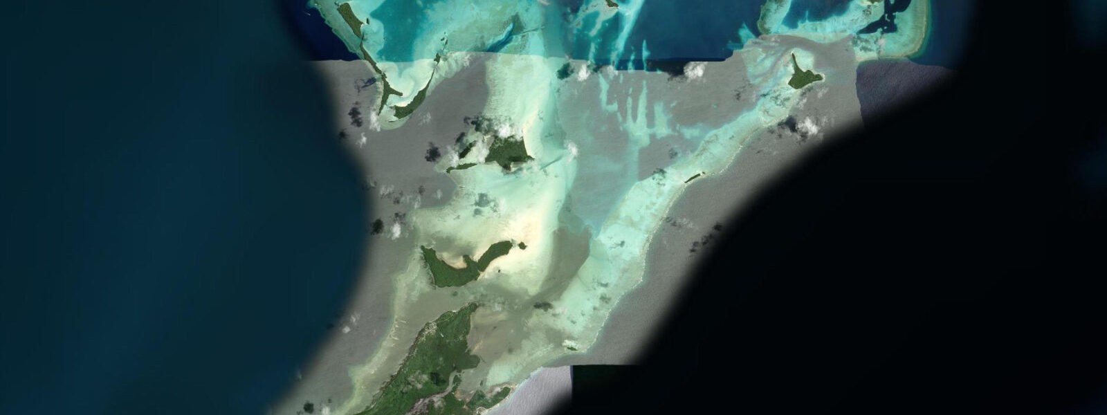
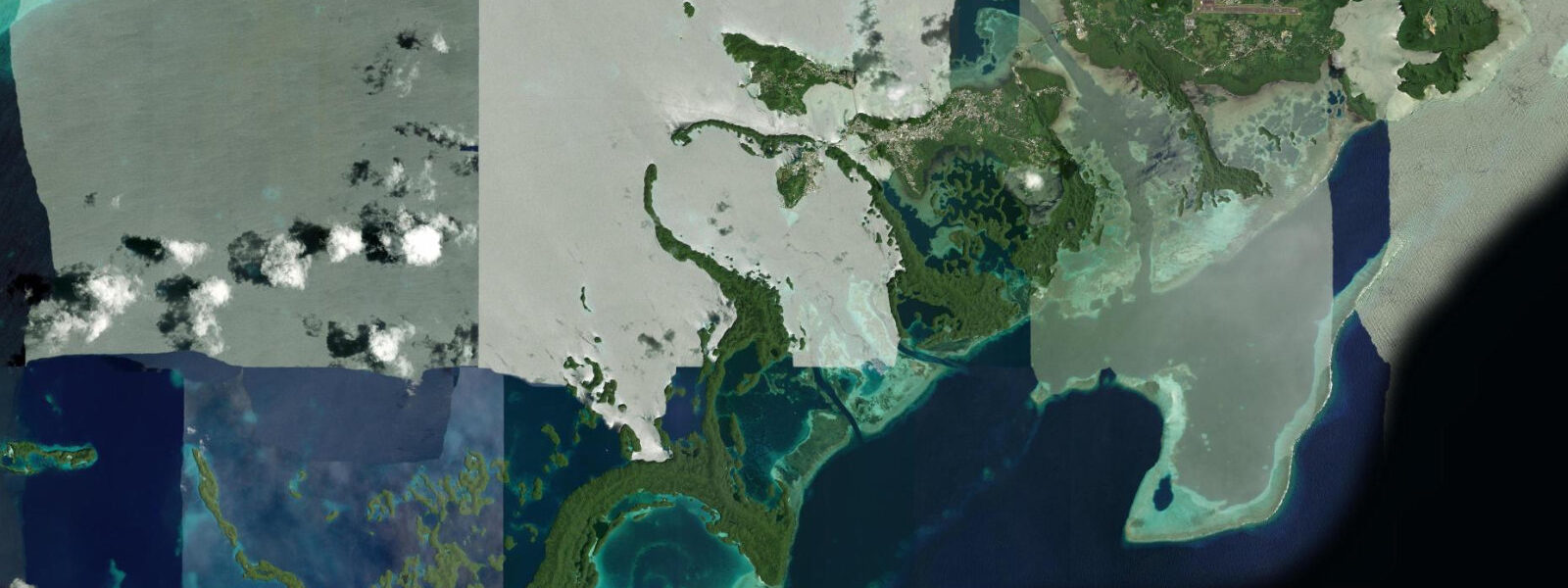
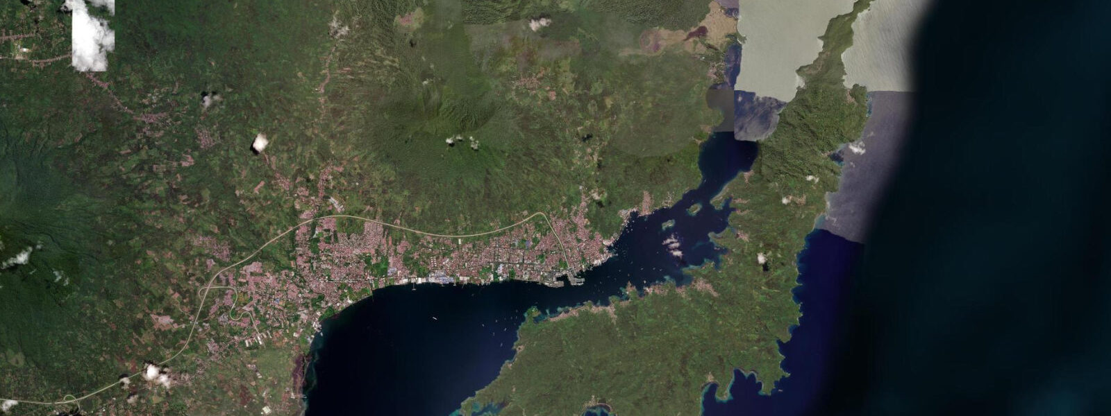
Peleliu is a flat, heavily forested island 45 kilometres south of Koror by boat — a 13-square-kilometre limestone and coral platform with no permanent road connection to the rest of Palau. Its identity is split between the ecological richness of its surrounding reef system and the historical weight of the Battle of Peleliu, fought between US Marines and Japanese forces from September to November 1944. The battle lasted 74 days at a cost of more than 1,700 American and 10,000 Japanese lives — disproportionately costly by the strategic calculus of the Pacific campaign. War memorials, preserved bunkers, rusting landing craft, and the hulks of Japanese tanks remain on the island and in the surrounding reef, making Peleliu the most significant WWII battlefield in Micronesia.
The tidal regime at Peleliu mirrors the Palau archipelago: mixed semidiurnal, spring range 1.5 to 2.0 metres, two unequal highs and two unequal lows per day. Peleliu's position at the southern edge of the Palau lagoon — exposed more directly to the Philippine Sea swell on its western and southwestern faces — means the open-ocean reef here handles more surge energy than the sheltered Rock Islands sites. Tidal data for Peleliu comes from Open-Meteo Marine, a global gridded ocean model. Accuracy is typically ±45 minutes on timing and ±0.2 to 0.3 metres on height. For diving Peleliu's exposed reef walls, local operator timing is essential: the combination of tidal current and residual swell surge makes entry and exit from exposed sites dangerous if conditions are misjudged.
Peleliu Wall on the island's southwest tip is one of the premier wall dives in Palau — a near-vertical drop from the reef crest at 3 to 5 metres down to 300 metres. The wall is draped with gorgonian sea fans up to 2 metres across, fields of black coral at depth, and large schools of barracuda, jack, and fusilier in the water column off the wall face. The dive runs best on a slack-to-early-ebb window: the current at the wall can build to 2 knots at peak, pulling divers off the wall face and into blue water. Local Peleliu dive operators — several small live-aboard operations berth in Peleliu Harbour — time entry for 30 minutes before predicted slack. Bottom time at 25 to 35 metres is limited by no-decompression limits and by current speed; 40 to 50 minutes is typical before surfacing early on the current.
The WWII wreck sites adjacent to Peleliu add a second diving context. Landing craft hulks lie on the northern reef flat at 5 to 12 metres, within easy reach on a flood tide when visibility through the passage is clearest. The Zero aircraft wreck — a Japanese Mitsubishi A6M fighter — sits upright on the reef at 10 metres near the northern beach. Both sites are accessible to open-water divers and give photographers strong foreground subjects with hard coral growth framing the wreckage. At low water, the reef flat north of Peleliu village becomes too shallow for boat access to the wreck sites; approach from the west channel at 2 metres or above.
For families and non-divers, the WWII land sites are the primary draw. The Peleliu battlefield is accessible on foot or by rented bicycle from the small village at the island's north. Orange Beach — the Marines' landing site — shows the concrete anti-tank obstacles still embedded in the sand. The Peleliu Peace Memorial stands at the northern tip. Bloody Nose Ridge, where Japanese defenders held fortified caves against Marine assault for weeks, runs along the island's spine; the hiking trail is rough limestone and requires sturdy footwear. None of this is tide-dependent, but the boat transfer from Koror is: the boat passage south through the Rock Islands lagoon crosses open water near the lagoon's southern edge, where swell is higher at low water when the reef provides less attenuation.
Kayakers on Peleliu work the eastern and northern lagoon edges, where the reef flats are sheltered from the prevailing southwest swell and the water is calm above half tide. The eastern coast has a series of small coves with sandy floors at 0.5 to 2.0 metres — snorkellable from a kayak seat at high water. Low water on springs dries the inner cove floors to a few centimetres; time the return paddle to avoid being stranded inside a cove on a falling tide in the dark. Sunset from the island's western reef edge is unobstructed Pacific horizon — photographers should plan for low-to-mid tide to access the reef-edge viewpoints before the flat is submerged at high water.
Tide questions about Peleliu, Palau
Quick answers to the most common questions about tide times, range, and water access at Peleliu, Palau.
What is Peleliu Wall and when is the best time to dive it?
Peleliu Wall on the island's southwest tip is a near-vertical reef wall dropping from 3 to 5 metres at the crest to 300 metres depth. Gorgonian fans up to 2 metres across cover the upper wall face; barracuda, jack, and fusilier school in the water column off the drop. The dive runs best on a slack-to-early-ebb window: tidal current at the wall face can reach 2 knots at spring peak, pulling divers into open water. Local operators time entry 30 minutes before predicted slack. Tide data comes from Open-Meteo Marine — rated ±45 minutes, ±0.2 to 0.3 metres — so confirm timing with the dive operator's local current knowledge before committing to the site.
How do I get to Peleliu from Koror and how does the tide affect the crossing?
The standard crossing from Koror to Peleliu is a 45-minute speedboat run south through the Rock Islands lagoon and across the open water at the lagoon's southern entrance. This open-water section, roughly 10 to 15 kilometres of exposed Philippine Sea swell, is smoother at high water when the southern reef provides better swell attenuation. At low water on a westerly swell day, the crossing can be rough. Most Peleliu day-trip operators depart Malakal Harbour between 07:00 and 08:00, crossing at the morning high or early ebb, and returning by mid-afternoon before afternoon sea breezes build the chop. The 1.5 to 2.0 metre spring range means conditions at departure and return can differ substantially.
What WWII sites can I visit on Peleliu and are they accessible at all tides?
The principal WWII land sites — Orange Beach landing zone, Peleliu Peace Memorial, Bloody Nose Ridge bunkers, and the preserved Japanese anti-tank obstacles — are all above the tide line and accessible on foot or bicycle from Peleliu village at any state of the tide. The underwater WWII sites, including landing craft hulks on the northern reef flat at 5 to 12 metres and the Zero aircraft wreck at 10 metres, require a boat approach from the west channel at 2 metres of tide or above; the northern reef flat shallows to less than 0.5 metres at low water springs, blocking boat access from that direction. The battlefield hiking on Bloody Nose Ridge requires solid footwear — exposed limestone karst is ankle-roll territory.
Is Peleliu suitable for family snorkelling trips?
Peleliu's eastern lagoon coves are the family-appropriate zone — sheltered from swell, sandy floored at 0.5 to 2.0 metres at high water, and reachable by snorkel from the beach without a boat. The best window is the two hours centred on high water: coral bommies in the coves are fully submerged at 1.0 to 1.5 metres, easy for average-fitness snorkellers. At low water springs the inner cove floors dry to a few centimetres; children should wear reef shoes across the exposed flat. The western and southwestern reef edges — where Peleliu Wall begins — are not appropriate for family snorkelling: exposed swell, strong tidal current, and depth are unsuitable without full dive equipment and guide.
What is the tidal range at Peleliu and how does it compare to the Rock Islands further north?
Peleliu's tidal range matches the Palau archipelago standard: mixed semidiurnal, spring range 1.5 to 2.0 metres. The diurnal inequality means the two daily highs and two daily lows differ measurably in height — check the full tide curve rather than relying on a single high or low time. Compared to the sheltered Rock Islands north of Koror, Peleliu's exposed southwestern reef face handles more residual swell and current combination. The practical difference for divers and kayakers is that Peleliu's exposed sites require more precise tidal timing — the margin for error when current and swell combine is smaller than at the more sheltered lagoon sites. Tidal data here is from Open-Meteo Marine: ±45 minutes on timing, ±0.2 to 0.3 metres on height.
8-day tide table — Peleliu, Palau
Heights relative to MSL. Predictions: Open-Meteo Marine (MeteoFrance SMOC, 0.08° grid) — heights relative to MSL (not chart datum / LAT). Model-derived.
| Day | Type | Time | Height |
|---|---|---|---|
| Sat 04 Jul | High | 09:00 | 0.9m |
| Low | 15:02 | -0.4m | |
| High | 21:35 | 0.9m | |
| Sun 05 Jul | Low | 03:24 | 0.1m |
| High | 09:02 | 0.9m | |
| Low | 15:34 | -0.3m | |
| High | 22:11 | 0.9m | |
| Mon 06 Jul | Low | 04:10 | 0.0m |
| High | 09:55 | 0.8m | |
| Low | 16:12 | -0.2m | |
| High | 22:50 | 0.9m | |
| Tue 07 Jul | Low | 05:02 | -0.0m |
| High | 10:54 | 0.7m | |
| Low | 16:55 | -0.1m | |
| Wed 08 Jul | High | 12:07 | 0.6m |
| Low | 17:43 | 0.0m | |
| Thu 09 Jul | High | 00:13 | 0.9m |
| Low | 07:13 | -0.2m | |
| High | 13:37 | 0.6m | |
| Low | 18:45 | 0.1m | |
| Fri 10 Jul | High | 01:12 | 0.9m |
| Low | 08:24 | -0.3m | |
| High | 15:03 | 0.6m | |
| Low | 20:12 | 0.2m | |
| Sat 11 Jul | High | 02:12 | 0.9m |
| Low | 08:00 | -0.3m |