Koror, Palau tide times
Koror, Palau tide forecast — heights relative to MSL.
Today's tide times for Koror, Palau
Tide times at Koror, Palau on Saturday, 4 July 2026: first high tide at 09:00am, first low tide at 02:58pm, second high tide at 09:40pm. Sunrise 05:50am, sunset 06:22pm.
Tide chart for Koror, Palau
24-hour cosine-interpolated curve around the present moment. Heights relative to MSL. Predictions: Predictions: Open-Meteo Marine (MeteoFrance SMOC, 0.08° grid).
Sun, moon and conditions on Sat 04 Jul
Snapshot at build time — refreshes daily. Sea state from Open-Meteo Marine.
Highs and lows next 7 days
Every predicted high and low for the next week, with the daily tidal coefficient (0–120; higher = bigger swing, > 95 means stronger currents).
Other spots nearby
The three closest curated TideTurtle locations to Koror, Palau, measured by great-circle distance.
Today's solunar windows
Solunar tradition: major periods are the ≈3h windows around moon transit and opposition; minor are ≈2h around moonrise and moonset. Pair with the local tide stage and wind for the best read.
Cycle dates near Koror, Palau
Last spring tide on Sat 04 Jul (range 1.3m). Next spring tide on Fri 10 Jul (range 1.3m). Next neap on Sun 05 Jul.
Spring tides cluster around new and full moons (biggest swings). Neap tides land on quarter moons (smallest swings). See the spring tide and neap tide glossary entries for the why.
About tides at Koror, Palau
A short guide to the coastline at Koror, Palau — geography, sea state, and what the tide is actually doing under your feet.
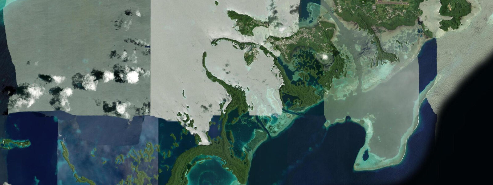
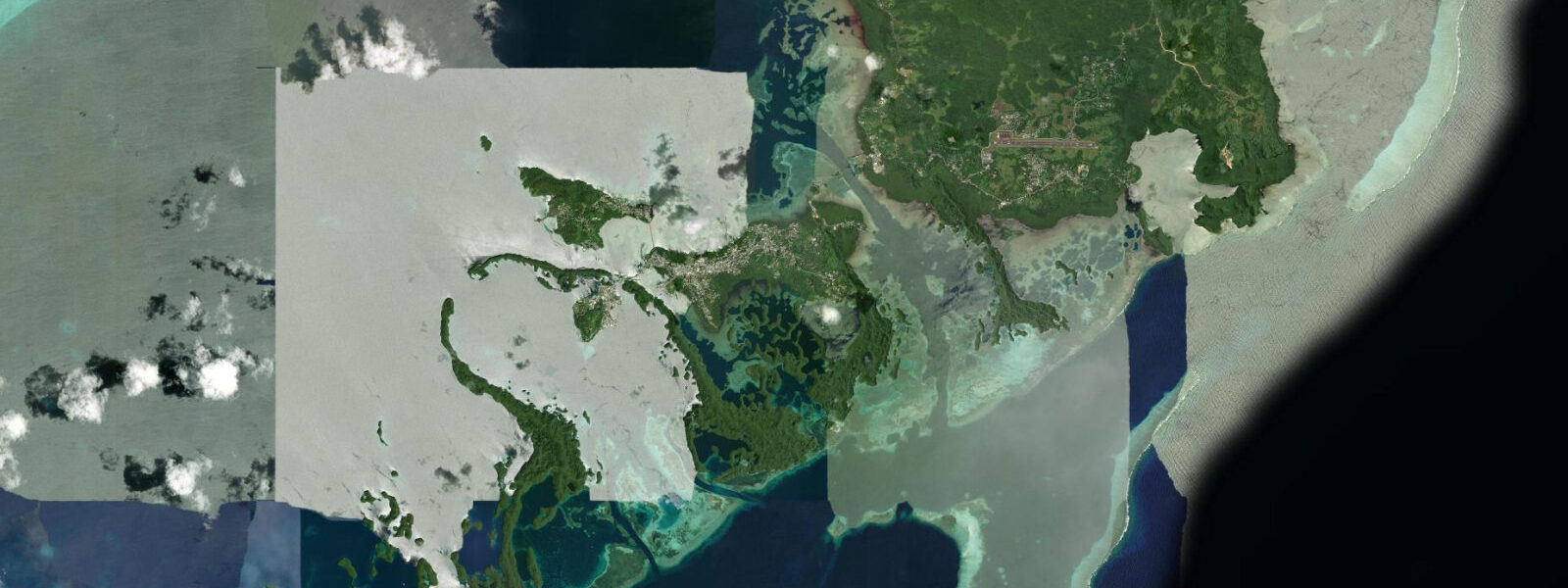
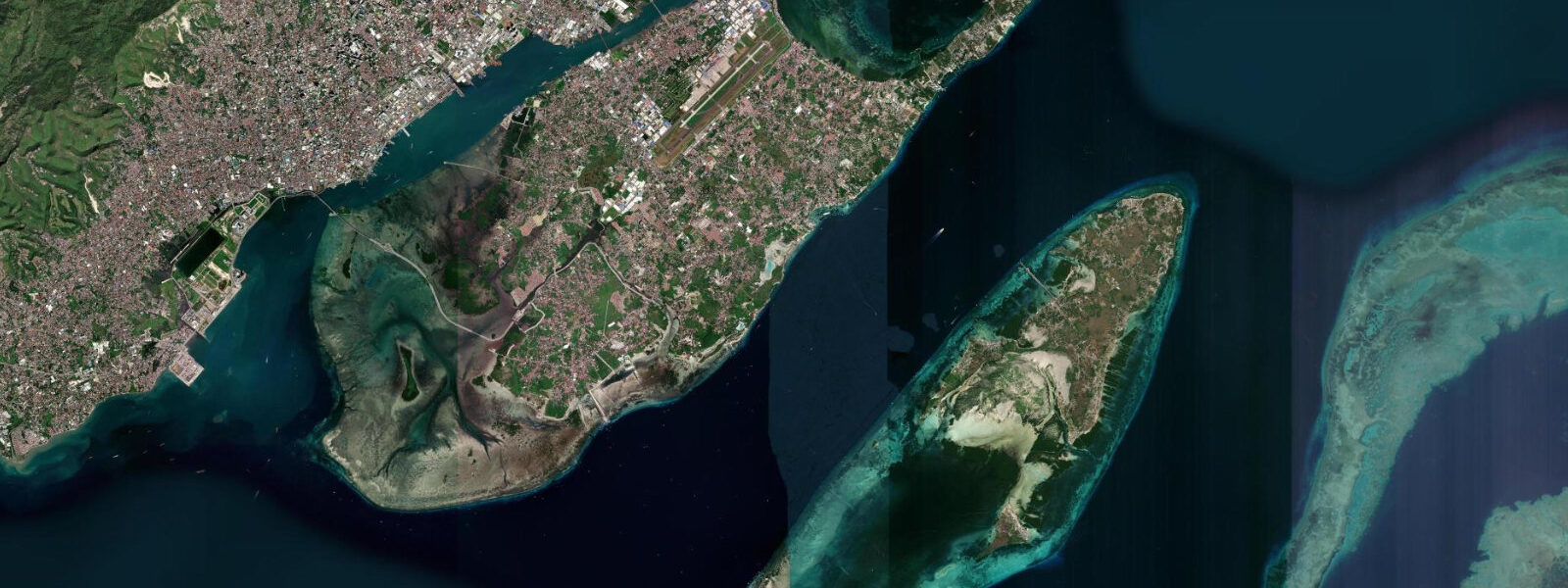
Koror is the commercial and transport hub of Palau — a town of around 13,000 people on Koror Island, connected to the larger Babeldaob by the Japan-Palau Friendship Bridge and facing the Rock Islands Southern Lagoon to the south. Almost every dive, kayak, or snorkel trip in the Rock Islands departs from Koror's Malakal Harbour, making tidal timing here the starting point for planning any water activity in the archipelago.
The tidal regime at Koror is mixed semidiurnal with a spring range of 1.5 to 2.0 metres. The two daily highs and two daily lows are unequal in height — the diurnal inequality common across Micronesia. That asymmetry means the morning high and afternoon high on any given day may differ by 0.3 to 0.6 metres; checking the full predicted curve matters more than relying on a single 'high tide' figure. Tidal data here comes from Open-Meteo Marine, a global gridded ocean model. Accuracy is typically ±45 minutes on timing and ±0.2 to 0.3 metres on height. For channel dive planning, cross-reference with your local operator, who has access to site-specific current data.
The Rock Islands channels are where Palau's tidal range becomes operationally critical. Tidal water moving between the Southern Lagoon and the Philippine Sea concentrates through narrow limestone passages, producing currents of 2 to 3 knots at spring peak in sites like the Blue Corner and German Channel. Blue Corner, 45 minutes by boat from Malakal Harbour, is a drift dive site where divers hook into the reef wall and watch pelagics — grey reef sharks, white-tip sharks, eagle rays, Napoleon wrasse — circle in the current at the corner's tip. The dive works only when current is running; dead slack produces a flat, quiet reef. Operators typically time the boat to arrive at the corner 20 minutes before the start of an ebb, giving the dive team a building current through the main 45-minute bottom time. At peak spring ebb, the current is strong enough to dislodge divers who lose their grip.
German Channel, southwest of the main Rock Islands group, is a cut dredged by German colonisers in the early 20th century to move phosphate. Today it is a manta ray cleaning station. Manta rays aggregate at the channel's coral outcrops during the incoming tide, when the current brings planktonic prey through the cut. The reliable manta window is one to two hours into the flood — before the current peaks and before the rays disperse. Visibility in the channel runs 15 to 25 metres when the tide is not stirring sediment at the entry point.
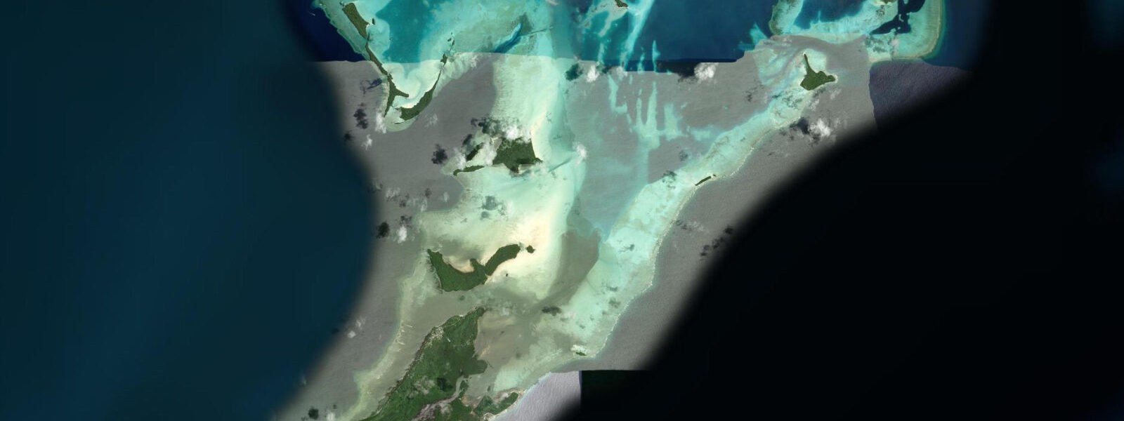
For kayakers, the Rock Islands Interior — the calm-water maze between the mushroom islets — is accessible at any state of the tide above 0.5 metres. Below that, the shallowest passages between islands dry to coral rubble. The most navigable route from Koror's main long-tail boat dock toward Jellyfish Lake follows the main lagoon channel east before threading between islands; the outer reef-edge passages run faster current and are exposed to ocean swell. High water adds 0.5 to 0.8 metres of clearance over the reef table between islands — the difference between a comfortable crossing and dragging a hull across limestone.
Jellyfish Lake, on Eil Malk Island roughly 40 minutes by speedboat from Malakal, is a stratified marine lake connected to the ocean by porous limestone rather than an open passage. The golden jellyfish inside have evolved without functional nematocysts and are safe to swim among; the permit required for entry is purchased at the Koror State Rangers Office. The optimal visit window is mid-morning — after the jellyfish have migrated toward the east wall following the sun, but before afternoon cloudcover reduces the light for photography. Tidal influence on the lake is lagged and dampened: the lake level varies by 10 to 15 centimetres over a tidal cycle, not the full 1.5 to 2.0 metres of the open water.
For photographers, the Rock Islands at low water reveal their most dramatic geometry: the limestone bases are exposed below the waterline, narrowing the mushroom shape and reflecting the green and white of algae-covered rock against the blue of the lagoon. Early morning, two hours before low water, gives this combination at maximum low spring exposure with warm directional light. At high water the bases are submerged and the islands look larger but less dramatically shaped.
Koror's waterfront market and dock area give a consistent orientation to tidal state: at low water the foreshore along the main wharf is a narrow strip of rubble; at high water it is fully submerged and the dock pilings disappear to half their height. Fishing boats returning to the wharf read the tide from the dock ladder rungs — a practical reference that aligns with the predicted times within the ±45-minute model accuracy. Local dive operators display the day's predicted high and low times on a whiteboard at Malakal Harbour each morning; that board is updated from the Palau Bureau of Lands and Surveys tide table and is more accurate than a gridded model for the specific harbour entrance.
Tide questions about Koror, Palau
Quick answers to the most common questions about tide times, range, and water access at Koror, Palau.
What is the tidal range at Koror and how does it affect diving in the Rock Islands?
Koror experiences mixed semidiurnal tides with a spring range of 1.5 to 2.0 metres — two unequal highs and two unequal lows per day. The range itself is moderate, but Palau's narrow limestone channels concentrate tidal flow into currents of 2 to 3 knots at spring peak. Dive sites like Blue Corner and German Channel are current-dependent: Blue Corner works on an ebb as pelagics stack against the reef edge; German Channel mantas aggregate on the incoming tide. Slack water at these sites lasts 20 to 30 minutes — the precise window for non-drift reef work. Tide data here comes from Open-Meteo Marine — accuracy ±45 minutes on timing, ±0.2 to 0.3 metres on height — so always confirm with your dive operator's local current tables before departure.
When is the best time to see manta rays at German Channel near Koror?
German Channel, southwest of the main Rock Islands group, is a manta ray cleaning station active primarily on the incoming flood tide, when planktonic prey is carried through the cut. The reliable window is one to two hours into the flood — after the current establishes but before it peaks and the rays disperse. Mantas are most consistently present from November through April when the northeast trade winds are up and plankton blooms are thicker in the channel. Visibility runs 15 to 25 metres when the tide isn't stirring silt at the channel entry. Most Koror-based dive operators offer a combined Blue Corner and German Channel trip timed to catch ebb at Blue Corner in the morning and flood at German Channel in the afternoon.
Can I kayak to the Rock Islands from Koror independently?
Kayaking to the Rock Islands from Koror is possible but requires a permit from the Koror State Rangers Office and careful tidal planning. The inner lagoon routes between the islands are navigable at any tide above 0.5 metres; below that, shallow limestone passages become impassable without dragging the hull over coral. The main lagoon channel east from Malakal Harbour is the safest independent route. Avoid the outer reef-edge passages — tidal current there runs 1.5 to 2.5 knots on springs and ocean swell wraps through the exposed cuts. Most independent kayakers reach the inner Rock Islands in 60 to 90 minutes from Koror's dock area on a high-water departure.
What is Jellyfish Lake and when should I visit from Koror?
Jellyfish Lake is a stratified marine lake on Eil Malk Island, 40 minutes by speedboat from Malakal Harbour, holding millions of golden jellyfish (Mastigias papua etpisoni) that have evolved without functional stinging cells — safe to swim among. The lake connects to the ocean through porous limestone rather than an open passage, so its tidal variation is only 10 to 15 centimetres and is lagged from the ocean by several hours. The best visit window is mid-morning: the jellyfish migrate east toward the sunlit wall after sunrise, making them easiest to find and photograph between 08:30 and 11:00. A permit from the Koror State Rangers Office is mandatory; fins and sunscreen are prohibited to protect the lake ecosystem.
How do I read tidal conditions practically when planning a day trip from Koror?
Malakal Harbour's dock ladder and the foreshore along Koror's main wharf give a visual reference for tide state: at low water the rubble foreshore is fully exposed and dock pilings stand clear; at high water the foreshore is submerged and the pilings drop to half height. Most dive operators post that day's high and low tide times on a whiteboard at Malakal each morning, derived from the Palau Bureau of Lands and Surveys table — more locally accurate than the Open-Meteo Marine model (which is rated ±45 minutes, ±0.2 to 0.3 metres) used on this site. For a general day-trip plan, subtract one hour from the predicted low to get the earliest practical departure for inner Rock Islands kayaking, and add 90 minutes to the predicted turn for the best drift-dive timing at Blue Corner.
8-day tide table — Koror, Palau
Heights relative to MSL. Predictions: Open-Meteo Marine (MeteoFrance SMOC, 0.08° grid) — heights relative to MSL (not chart datum / LAT). Model-derived.
| Day | Type | Time | Height |
|---|---|---|---|
| Sat 04 Jul | High | 09:00 | 0.9m |
| Low | 14:58 | -0.4m | |
| High | 21:40 | 0.9m | |
| Sun 05 Jul | Low | 03:24 | 0.1m |
| High | 22:10 | 0.9m | |
| Mon 06 Jul | Low | 04:10 | 0.0m |
| High | 09:43 | 0.7m | |
| Low | 16:08 | -0.2m | |
| High | 22:50 | 0.9m | |
| Tue 07 Jul | Low | 05:06 | 0.0m |
| High | 10:51 | 0.7m | |
| Low | 16:54 | -0.1m | |
| High | 23:25 | 0.9m | |
| Wed 08 Jul | Low | 06:03 | -0.1m |
| High | 12:07 | 0.6m | |
| Low | 17:43 | 0.0m | |
| Thu 09 Jul | High | 00:13 | 0.9m |
| Low | 07:12 | -0.2m | |
| High | 13:38 | 0.6m | |
| Low | 18:45 | 0.2m | |
| Fri 10 Jul | High | 01:05 | 1.0m |
| Low | 08:20 | -0.3m | |
| High | 15:07 | 0.7m | |
| Low | 20:10 | 0.3m | |
| Sat 11 Jul | High | 02:06 | 1.0m |
| Low | 08:00 | -0.3m |