Manora Island tide times
Manora Island tide forecast — heights relative to MSL.
Today's tide times for Manora Island
Tide times at Manora Island on Friday, 3 July 2026: first low tide at 05:32am, first high tide at 12:18pm, second low tide at 06:15pm, second high tide at 11:42pm. Sunrise 05:46am, sunset 07:25pm.
Tide chart for Manora Island
24-hour cosine-interpolated curve around the present moment. Heights relative to MSL. Predictions: Predictions: Open-Meteo Marine (MeteoFrance SMOC, 0.08° grid).
Sun, moon and conditions on Fri 03 Jul
Snapshot at build time — refreshes daily. Sea state from Open-Meteo Marine.
Highs and lows next 7 days
Every predicted high and low for the next week, with the daily tidal coefficient (0–120; higher = bigger swing, > 95 means stronger currents).
Other spots nearby
The three closest curated TideTurtle locations to Manora Island, measured by great-circle distance.
Today's solunar windows
Solunar tradition: major periods are the ≈3h windows around moon transit and opposition; minor are ≈2h around moonrise and moonset. Pair with the local tide stage and wind for the best read.
Cycle dates near Manora Island
Last spring tide on Fri 03 Jul (range 2.4m). Next spring tide on Thu 09 Jul (range 2.1m). Next neap on Tue 07 Jul.
Spring tides cluster around new and full moons (biggest swings). Neap tides land on quarter moons (smallest swings). See the spring tide and neap tide glossary entries for the why.
About tides at Manora Island
A short guide to the coastline at Manora Island — geography, sea state, and what the tide is actually doing under your feet.
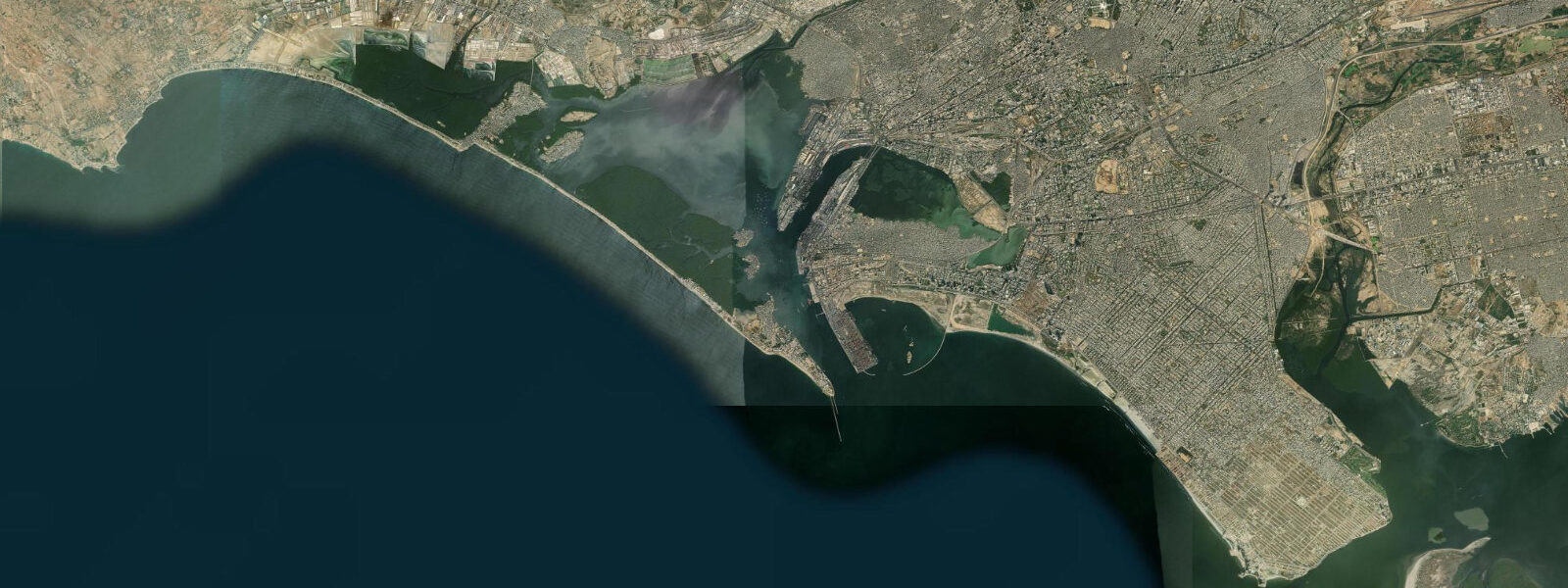
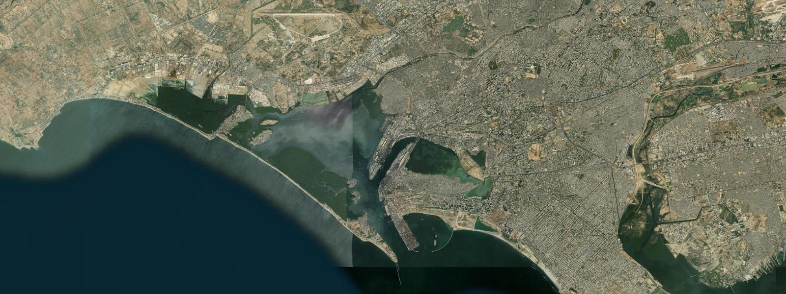
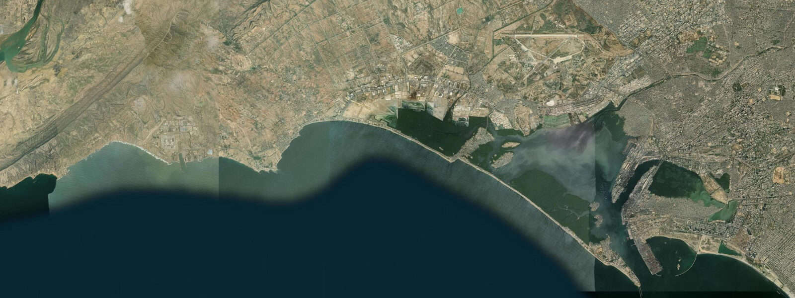
Manora Island sits at the mouth of Karachi Harbour, a sand spit and low island that separates the harbour basin from the open Arabian Sea. The ferry from Keamari — the old harbour neighbourhood on the Karachi mainland — takes 15 to 20 minutes; the crossing covers the full width of the harbour mouth channel where tidal currents run at 2 to 3 knots on spring tides. The current is visible on the ferry crossing: the water surface shows the differential between the harbour basin level and the open sea, and floating debris lines up in the tidal rips at the channel edges.
The tidal regime here mirrors Karachi — mixed semidiurnal, spring range 1.5 to 2.5 metres. The significance at Manora is the channel current that this range generates: the harbour mouth acts as a constriction and the tidal flow through it accelerates. For anglers on the Manora jetties, this current is the key variable — fish hold in the eddy lines behind the jetty structure and feed on whatever the current sweeps past. The last two hours of the ebb and the first hour of the flood are the productive windows.
The Manora Lighthouse has stood on the island since 1914, built by the British colonial administration to guide traffic through the harbour mouth. The original structure is a white cylindrical tower reaching approximately 15 metres. It remains operational as a navigation aid. The lighthouse is visible from the Keamari waterfront across the channel and has been the dominant skyline feature of the harbour mouth for over a century.
St Paul's Church — the ruins of a colonial-era church — stands near the lighthouse. The building was constructed in the British period and has been in ruins for decades; the walls stand but the roof is gone. It is one of the clearer remnants of the colonial settlement that once occupied the island more substantially. Near it, a small Hindu temple survives from the same period — the island had a Hindu fishing community before Partition in 1947.
The beach on the southern side of the island faces the open Arabian Sea. It is sandy and relatively undeveloped, and the southern aspect means the full fetch of the Arabian Sea reaches the shore. In the northeast monsoon months (October through February) the sea is calm and the beach is usable for swimming; in the southwest monsoon (June-September) the surf picks up and swimming is not safe. The beach widens substantially at low water on spring tides — the exposed sand flat extends 60 to 100 metres beyond the normal high-tide line.
A sand spit connects Manora Island to the mainland at its eastern end; this spit is passable on foot at low spring water (the spit is submerged or barely exposed at high tide). The spit is the reason Manora is technically a tombolo rather than a true island — it is connected to the mainland by the tidal sand feature. The channel between the spit and the Keamari area is the main harbour entrance.
Fishing from the Manora jetties and the southern beach rocks produces queenfish, snapper, and ladyfish on the outgoing tide. The current concentration at the harbour mouth makes the jetty ends particularly productive — the tidal rip concentrates bait and the predators follow it. Early morning, timed to coincide with the last two hours of the ebb on a spring cycle, is the most productive session.
The island receives day visitors from Karachi via the ferry. The internal infrastructure is basic — a few food stalls, no formal accommodation beyond the naval facilities, and limited formal facilities. The draw is the combination of colonial heritage (lighthouse, church ruins), the beach, and the harbour-mouth experience.
The Pakistan Navy Museum on the mainland near the Keamari neighbourhood is worth combining with a Manora visit — the museum displays decommissioned vessels and material that contextualises the harbour's strategic history. The PNS Ghazi, Pakistan's first submarine (a US Tench-class vessel, sunk in 1971 during the Indo-Pakistani War), is commemorated there. The combination of the museum, the Keamari waterfront, and the Manora ferry crossing covers the full harbour history in a half-day. The museum is closed on Fridays; check opening hours in advance as they vary seasonally.
The view back toward Karachi from the Manora lighthouse steps — at high tide, with the city skyline visible across the harbour mouth — is the classic harbour-mouth image of Pakistan's largest city. Early morning, before the atmospheric haze builds, gives the clearest sight lines.
Predictions on this page come from Open-Meteo Marine, a gridded global ocean model. Accuracy is typically within plus or minus 45 minutes on timing and 0.2 to 0.3 metres on height — model-derived, not from a local gauge. The authoritative source for tidal data in Pakistan is the Pakistan Meteorological Department (PMD), which operates sea level gauges at Karachi.
Tide questions about Manora Island
Quick answers to the most common questions about tide times, range, and water access at Manora Island.
How do I get to Manora Island from Karachi?
Ferries to Manora Island depart from the Keamari neighbourhood on the Karachi harbour waterfront. The crossing takes approximately 15 to 20 minutes by passenger ferry. Services run during daylight hours and are used by both residents (Manora has a small permanent population) and day visitors. The ferry landing at Manora is in the channel-facing northern side of the island; from there the lighthouse and ruins are a short walk. The harbour mouth tidal current — 2 to 3 knots on spring tides — is noticeable on the crossing, particularly when the vessel is transiting the main channel where the flow is concentrated.
What is the tidal current at the Karachi Harbour mouth near Manora?
The harbour mouth at Manora Island acts as a tidal constriction. With a spring tidal range of 1.5 to 2.5 metres at Karachi, the volume of water moving in and out of the harbour basin through the relatively narrow mouth generates currents of 2 to 3 knots in the main channel on spring tides. The current is visible from the ferry and from the Manora jetties — surface rips and lines of floating debris mark the tidal boundaries. For anglers, the eddy lines behind the jetty structure on the outgoing tide are where fish hold; the last two hours of the ebb are most productive.
What colonial heritage remains on Manora Island?
The Manora Lighthouse (1914) is the principal surviving structure — a white cylindrical tower built by the British colonial administration and still operational as a navigation aid. The ruins of St Paul's Church (walls standing, roof gone) are nearby; the building dates from the British period and has been in ruins for decades. A small Hindu temple from the same era survives — the island had a Hindu fishing community before Partition in 1947. The combination of lighthouse, church ruins, and temple in a small area reflects the layered colonial and pre-Partition settlement history of the harbour mouth.
Is the beach on Manora Island safe for swimming?
The southern beach faces the open Arabian Sea and receives the full fetch of the ocean. In the northeast monsoon months (October through February) the sea is calm and the beach is reasonably safe for swimming close to shore. During the southwest monsoon (June-September) the surf increases and currents on the exposed southern face are unpredictable — swimming is not advisable. The beach widens significantly at low water on spring tides, exposing 60 to 100 metres of additional sand. There are no formal lifeguard services. The calmer winter months in the early morning before the sea breeze develops are the most suitable conditions.
Is Manora really an island — does it connect to the mainland?
Manora is technically a tombolo — a sand spit at its eastern end connects to the mainland at Keamari, but this spit is submerged or barely exposed at high tide and passable on foot only at low spring water. At the tidal cycle's extremes the connection is visible; at high water the island appears separate. The practical access route for most visitors is the Keamari ferry — the spit crossing on foot is a curiosity rather than a reliable route. The sand spit position is tidal-state-dependent: check the tide before attempting to walk it, and allow for the fact that the return trip may be underwater.
8-day tide table — Manora Island
Heights relative to MSL. Predictions: Open-Meteo Marine (MeteoFrance SMOC, 0.08° grid) — heights relative to MSL (not chart datum / LAT). Model-derived.
| Day | Type | Time | Height |
|---|---|---|---|
| Fri 03 Jul | Low | 05:32 | -1.0m |
| High | 12:18 | 1.4m | |
| Low | 18:15 | -0.1m | |
| High | 23:42 | 1.0m | |
| Sat 04 Jul | Low | 06:05 | -0.9m |
| High | 12:51 | 1.5m | |
| Low | 19:00 | -0.2m | |
| Sun 05 Jul | High | 00:34 | 0.9m |
| Low | 06:42 | -0.7m | |
| High | 13:21 | 1.4m | |
| Low | 19:47 | -0.3m | |
| Mon 06 Jul | High | 01:23 | 0.8m |
| Low | 07:20 | -0.5m | |
| High | 13:55 | 1.4m | |
| Low | 20:33 | -0.5m | |
| Tue 07 Jul | High | 02:20 | 0.8m |
| Low | 08:07 | -0.3m | |
| High | 14:35 | 1.3m | |
| Low | 21:19 | -0.6m | |
| Wed 08 Jul | High | 15:11 | 1.3m |
| Low | 22:19 | -0.8m | |
| Thu 09 Jul | High | 04:51 | 0.7m |
| Low | 10:10 | 0.1m | |
| High | 16:01 | 1.2m | |
| Low | 23:15 | -1.0m | |
| Fri 10 Jul | High | 04:00 | 0.4m |