Karachi tide times
Karachi tide forecast — heights relative to MSL.
Today's tide times for Karachi
Tide times at Karachi on Friday, 3 July 2026: first high tide at 12:16pm, first low tide at 06:13pm, second high tide at 11:42pm. Sunrise 05:46am, sunset 07:25pm.
Tide chart for Karachi
24-hour cosine-interpolated curve around the present moment. Heights relative to MSL. Predictions: Predictions: Open-Meteo Marine (MeteoFrance SMOC, 0.08° grid).
Sun, moon and conditions on Fri 03 Jul
Snapshot at build time — refreshes daily. Sea state from Open-Meteo Marine.
Highs and lows next 7 days
Every predicted high and low for the next week, with the daily tidal coefficient (0–120; higher = bigger swing, > 95 means stronger currents).
Other spots nearby
The three closest curated TideTurtle locations to Karachi, measured by great-circle distance.
Today's solunar windows
Solunar tradition: major periods are the ≈3h windows around moon transit and opposition; minor are ≈2h around moonrise and moonset. Pair with the local tide stage and wind for the best read.
Cycle dates near Karachi
Next spring tide on Sat 04 Jul (range 2.4m). Last neap on Fri 03 Jul. Next neap on Tue 07 Jul.
Spring tides cluster around new and full moons (biggest swings). Neap tides land on quarter moons (smallest swings). See the spring tide and neap tide glossary entries for the why.
About tides at Karachi
A short guide to the coastline at Karachi — geography, sea state, and what the tide is actually doing under your feet.
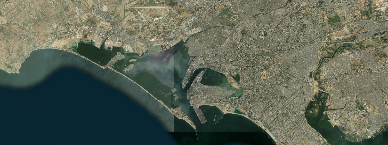
Karachi is South Asia's largest port city — a metropolis of 14 to 20 million people (estimates vary significantly) occupying a natural harbour on the Arabian Sea at the western edge of the Indus Delta. The city's relationship with the sea is practical and ancient: the harbour, the fish landing, the tidal creek system east of the urban core, and the beaches on the western shoreline all shape daily life in ways that a city of this scale and density makes visible at every scale.
The tidal regime at Karachi is mixed semidiurnal. The Arabian Sea drives the tidal cycle, producing spring ranges of approximately 1.5 to 2.5 metres at the harbour gauge. The pattern is irregular — the two daily tide cycles differ in height, particularly around the solstices, when the diurnal inequality is most pronounced. At low spring water, the tidal flats at the harbour mouth and around Manora Island expose significantly, and the creek systems east of the city — the edge of the Indus Delta — drain to reveal kilometres of mangrove-fringed mudflat.
Clifton Beach (locally called Sea View) is the primary public ocean beach — a 3-kilometre arc of Arabian Sea coast backed by the Clifton Clifftops, accessible to the city's population directly from the residential areas of Clifton and DHA. The beach is wide at low water: the spring tide cycle exposes 50 to 80 metres of additional sand, and at low water the exposed tidal flat allows walking well beyond the normal dry-sand width. Hawkers, food vendors, camel rides, and motorcycle and ATV hire are the informal beach economy. The beach is busiest on Friday and Saturday mornings and weekend afternoons.
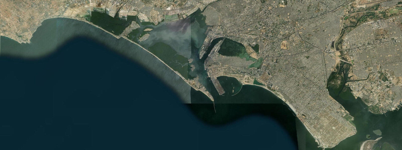
Karachi Fish Harbour, on the western side of the Manora Channel, is one of the busiest fish landing centres in South Asia. The fleet — hundreds of trawlers and traditional craft — returns from the offshore Arabian Sea grounds in the predawn hours and the wholesale market is at full volume from approximately 04:00 to 07:00. The species mix reflects the productivity of the northern Arabian Sea: tuna, kingfish, pomfret, snappers, and large quantities of prawns and shrimp destined for export. The harbour is a working industrial facility; entry is straightforward but the predawn start is non-negotiable for seeing the main activity.
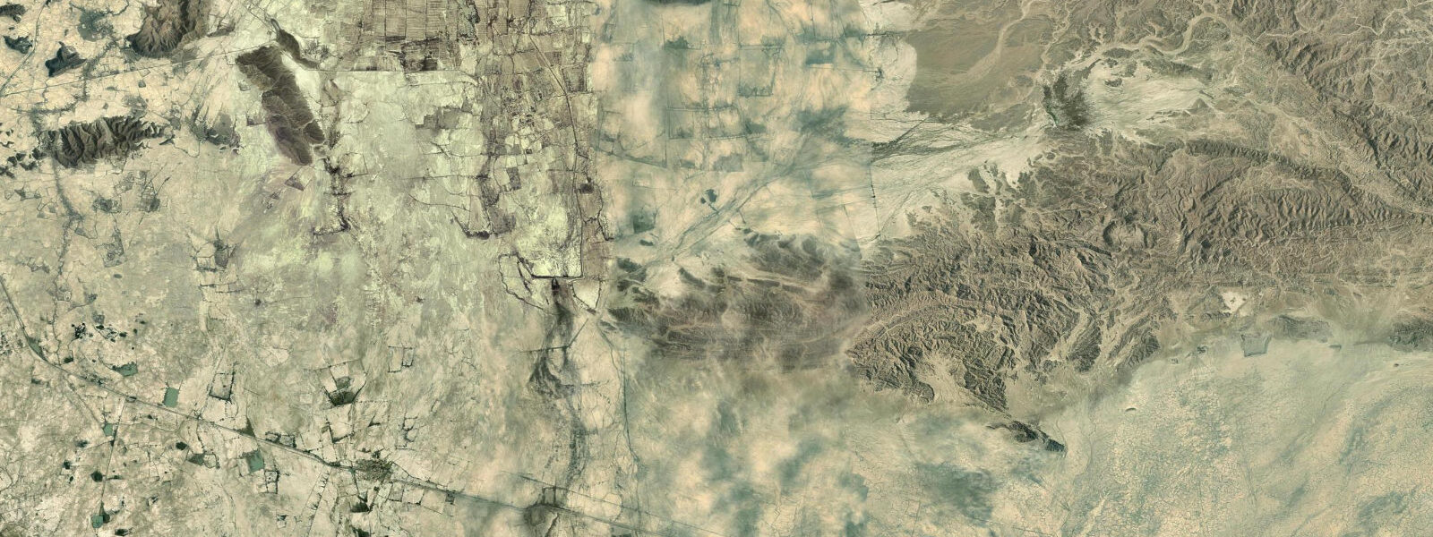
The Indus Delta begins 60 kilometres east of Karachi city centre — one of the world's largest deltaic systems, covering approximately 600,000 hectares of tidal creek, mangrove forest, and intertidal mudflat. The delta's mangroves (dominated by Avicennia marina) were significantly degraded through the latter 20th century due to reduced freshwater flow from the Indus (water diverted for agriculture) and overexploitation, but restoration programmes have recovered significant area. The delta supports large populations of water birds — greater flamingo, various herons and egrets, spoonbill — and is critical nursery habitat for the fish species that Karachi's fleet targets offshore. Access is by boat from Bhambhore or Keti Bandar.
Manora Island sits at the mouth of Karachi Harbour, accessible by ferry from the Keamari neighbourhood in 15 to 20 minutes. The lighthouse (1914), the colonial-era church ruins, and the beach on the southern side of the island are the draws. The harbour mouth tidal current runs to 2 to 3 knots on spring tides — this is the constriction between the harbour basin and the open sea, and the current is visible and felt on the ferry crossing.
The Pakistan Navy Museum, on the western edge of the city near the naval cantonment, displays decommissioned vessels and material relevant to naval history on the Arabian Sea. Entry is civilian-accessible with ID.
For anglers, the harbour breakwaters, the Clifton rocks, and the Manora jetties are the principal shore platforms. Kingfish, queenfish, and snapper respond to the outgoing tide; the last two hours of the ebb concentrate fish in the tidal current against structure.
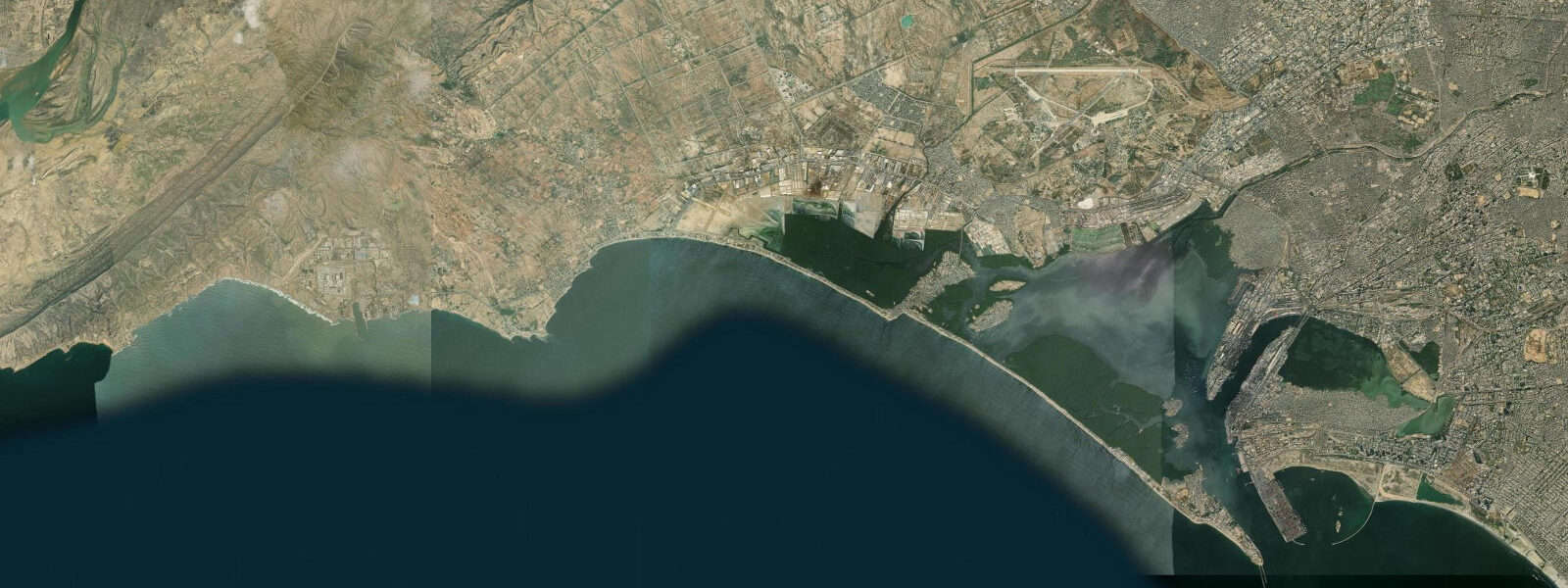
The Makran coast to the northwest — beginning at Cape Monze (Ras Muari) about 40 kilometres from Karachi city centre — is a geologically distinct stretch of coast: raised beach terraces, mud volcanoes, and sea stacks carved from the Makran mudstone. The coast is accessible by the coastal road toward Balochistan. Cape Monze itself, a dramatic headland, is the first point of the Makran and a useful day trip from Karachi for coastal photography and geology. The Arabian Sea swell strikes the cape directly and the wave action against the headland is powerful even in calm trade-wind conditions.
Predictions on this page come from Open-Meteo Marine, a gridded global ocean model. Accuracy is typically within plus or minus 45 minutes on timing and 0.2 to 0.3 metres on height — model-derived, not from a local gauge. The authoritative source for tidal data in Pakistan is the Pakistan Meteorological Department (PMD), which operates sea level gauges at Karachi.
Tide questions about Karachi
Quick answers to the most common questions about tide times, range, and water access at Karachi.
What is the tidal range at Karachi?
Karachi operates under a mixed semidiurnal tidal regime driven by the Arabian Sea. Spring tides produce a range of approximately 1.5 to 2.5 metres at the harbour gauge. The two daily high tides are often unequal in height — the diurnal inequality is most pronounced around the solstices, when one of the two daily highs can be significantly larger than the other. Neap tides reduce the range to roughly 0.6 to 1.0 metres. The tidal influence is significant enough to be visible on Clifton Beach (Sea View), where the dry-sand width changes by 50 to 80 metres between high and low water.
What is Karachi Fish Harbour and when should I visit?
Karachi Fish Harbour on the Manora Channel is one of the busiest fish landing centres in South Asia, serving a fleet of hundreds of trawlers and traditional craft fishing the Arabian Sea. The vessels return from grounds in the predawn hours and the wholesale market is at full volume from approximately 04:00 to 07:00. Species on the slabs include tuna, kingfish, pomfret, various snappers, and prawns destined for export. To see the main activity, arrive before 05:30. The market thins by 08:00. The harbour is a working industrial facility — appropriate footwear and situational awareness are needed among the loading vehicles and equipment.
How do I get to the Indus Delta from Karachi?
The Indus Delta begins approximately 60 kilometres east of central Karachi. Boat access is available from Bhambhore (on the eastern side of the delta) or from Keti Bandar, the main delta settlement accessible by road from Thatta. The mangrove creek system is navigable by small motorboat at high tide; at low tide the tidal creek channels are accessible but the surrounding mudflat is exposed and impassable on foot. Organised day trips from Karachi to the delta exist through local operators. The drive to the delta access points takes 1.5 to 2.5 hours by road from central Karachi.
Is Clifton Beach (Sea View) safe for swimming?
Clifton Beach has persistent rip currents and the Arabian Sea shoreline here can have unpredictable surf, particularly during the southwest monsoon (June-September) when swells increase and the beach becomes hazardous for swimming. The beach is heavily used by families and the informal economy thrives on the shore, but swimming fatalities occur each year. The safest swimming is at waist depth close to the shore, in the calmer northeast monsoon months (October-February). There are no formal lifeguard services. Locals predominantly wade rather than swim. The wide low-tide flat gives a false impression of depth gradient — the water deepens quickly beyond the outer sandbar.
What wildlife can be seen in the Karachi coastal area?
The Indus Delta 60km east is the principal wildlife destination — flamingo, herons, spoonbill, and wading birds concentrate on the tidal flats and mangrove-edge habitats. Green turtle (Chelonia mydas) nest on beaches northwest of Karachi at Hawks Bay and French Beach during the June-September season. Dolphins — Indo-Pacific bottlenose and spinner — are regularly seen in the harbour approaches and offshore; boat trips from the harbour can encounter them. The harbour itself supports osprey as a year-round resident. Humphead parrotfish and grouper are present in the rocky reef areas around Manora Island, visible to snorkellers in the calmer winter months.
8-day tide table — Karachi
Heights relative to MSL. Predictions: Open-Meteo Marine (MeteoFrance SMOC, 0.08° grid) — heights relative to MSL (not chart datum / LAT). Model-derived.
| Day | Type | Time | Height |
|---|---|---|---|
| Fri 03 Jul | High | 12:16 | 1.5m |
| Low | 18:13 | -0.1m | |
| High | 23:42 | 1.0m | |
| Sat 04 Jul | Low | 06:05 | -0.9m |
| High | 12:50 | 1.5m | |
| Low | 19:00 | -0.2m | |
| Sun 05 Jul | High | 00:36 | 0.9m |
| Low | 06:42 | -0.7m | |
| High | 13:21 | 1.5m | |
| Low | 19:49 | -0.3m | |
| Mon 06 Jul | High | 01:23 | 0.8m |
| Low | 07:21 | -0.5m | |
| High | 13:55 | 1.4m | |
| Low | 20:33 | -0.5m | |
| Tue 07 Jul | High | 02:21 | 0.8m |
| Low | 08:09 | -0.3m | |
| High | 14:36 | 1.3m | |
| Low | 21:19 | -0.6m | |
| Wed 08 Jul | High | 15:12 | 1.3m |
| Low | 22:19 | -0.8m | |
| Thu 09 Jul | High | 04:50 | 0.8m |
| Low | 10:11 | 0.1m | |
| High | 16:03 | 1.2m | |
| Low | 23:16 | -0.9m | |
| Fri 10 Jul | High | 04:00 | 0.4m |