Tromsø tide times
Tromsø tide forecast — heights relative to MSL.
Tide chart for Tromsø
24-hour cosine-interpolated curve around the present moment. Heights relative to MSL. Predictions: Predictions: Open-Meteo Marine (MeteoFrance SMOC, 0.08° grid).
Sun, moon and conditions on Sun 21 Jun
Snapshot at build time — refreshes daily. Sea state from Open-Meteo Marine.
Highs and lows next 7 days
Every predicted high and low for the next week, with the daily tidal coefficient (0–120; higher = bigger swing, > 95 means stronger currents).
Other spots nearby
The three closest curated TideTurtle locations to Tromsø, measured by great-circle distance.
Today's solunar windows
Solunar tradition: major periods are the ≈3h windows around moon transit and opposition; minor are ≈2h around moonrise and moonset. Pair with the local tide stage and wind for the best read.
About tides at Tromsø
A short guide to the coastline at Tromsø — geography, sea state, and what the tide is actually doing under your feet.
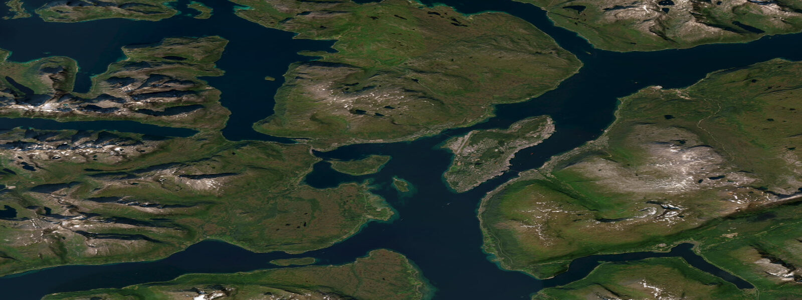
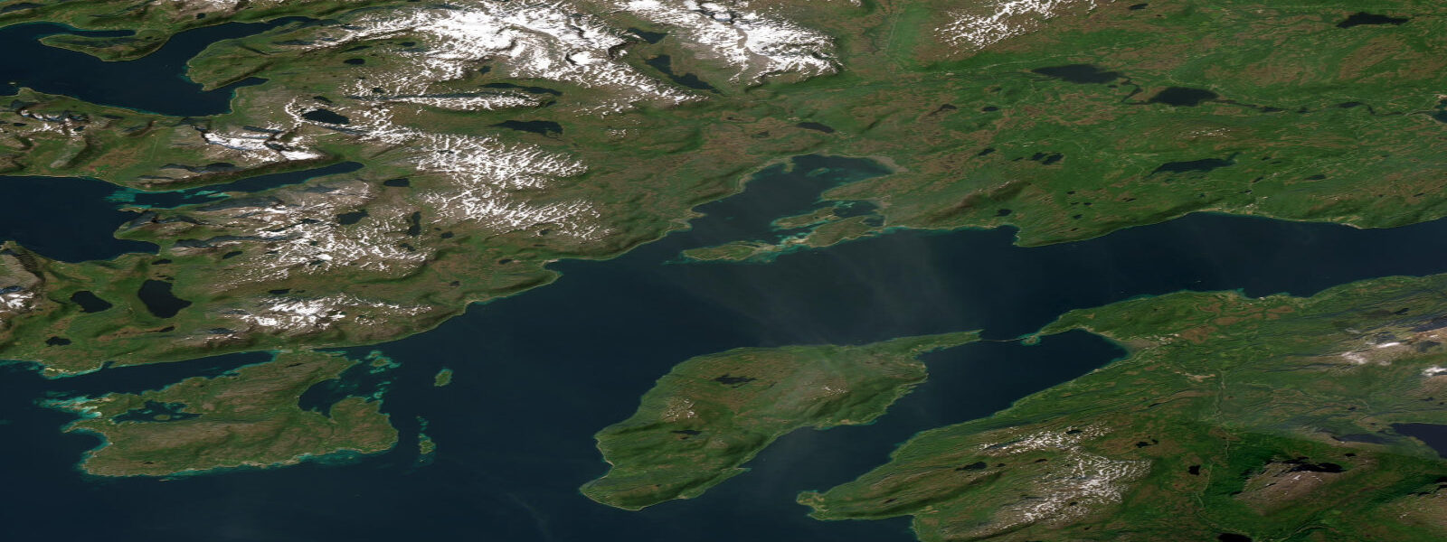
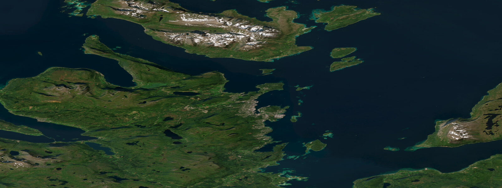
Tromsø is built on Tromsøya, an island roughly 3.5 kilometres wide, sitting in the Tromsøysund strait between the mainland and Kvaløya at 69.6 degrees north — well inside the Arctic Circle, which crosses at 66.5 degrees. The city is occasionally called the Paris of the North, an old nickname that flatters the latitude and understates the Arctic light. What Tromsø actually is: a mid-sized university city with a working harbour, a genuine northern lights observatory, and a position inside one of the most navigable Arctic coastal systems on earth, thanks entirely to the Gulf Stream keeping the strait open year-round. At this latitude, that is not automatic.
The tidal pattern is semidiurnal with a mean range of approximately 1.8 metres above Chart Datum. Spring tides reach approximately 2.5 metres. Those numbers define the character of Tromsøysund — the strait between Tromsøya, the mainland to the east, and Kvaløya to the west. Tidal current in Tromsøysund runs at 0.5 to 1.5 knots on moderate tides, concentrating at the narrower northern and southern approaches to the island. Sea kayakers paddling between Tromsøya and Kvaløya time their crossings around the current; small fishing boats and RIBs account for the flow through the Sandnessund and Ryøysund passages at the island's northern end.
The two landmarks visible from any vessel in the strait are the Tromsø Bridge and the Arctic Cathedral. The Tromsø Bridge opened in 1960, connecting Tromsøya to the mainland — a 1,016-metre span that at opening was the longest bridge in northern Europe. Its two white pylons and deck sit low over the water and from the water at mid-channel the bridge frame against the mountains behind Tromsø is the defining skyline of the strait. The Arctic Cathedral (Ishavskatedralen), on the mainland side of the bridge at Tromsdalen, was consecrated in 1965 — its triangular aluminium facade catches the light differently at every hour across the midnight sun.
Sea eagles are reliably seen from the water in the inner fjords north and south of Tromsøya. The Ramfjord and Balsfjord south of the city are the most productive areas; paddle tours running from the Tromsø waterfront in summer frequently encounter three or four birds in a half-day circuit of the inner fjord margins. Wingspan to 2.4 metres; they hunt fish from the cliff faces above the high-water line and will follow a kayak for minutes investigating the disturbance.
For sea kayakers, Tromsøysund is the practical starting point but not the limit. The island complex extending north from Tromsøya toward Ringvassøya and Rebbenesøya opens into a labyrinth of sheltered passages — some very narrow, some wider — with tidal current that varies passage to passage. In settled summer conditions, the inner passages carry almost no swell; exposure increases on the outer flanks. Water temperature runs 8 to 12 degrees Celsius in summer, cold enough that immersion without a drysuit or at minimum a 5mm wetsuit is a hypothermia risk within 20 minutes. Guided kayak and RIB tours from Tromsø operate year-round; the winter northern lights tours run in darkness from October through February.
Recreational fishing in the Tromsøysund and inner fjords targets cod, saithe, and coalfish from small boats year-round — the Gulf Stream keeps species accessible in winter that would have moved off in a non-Arctic-influenced fjord. Shore fishing from the stone and concrete quays in the harbour and from the rocky foreshore on the southern side of Tromsøya produces cod on simple rigged bait rigs at low water when the bottom is accessible closer inshore.
Photographers working Tromsø come specifically for the light. The midnight sun from 20 May to 22 July keeps the sun above the horizon continuously, and the warmest directional light between 22:00 and 02:00 catches the mountain faces and fjord water at an angle unavailable at lower latitudes. In winter, polar night from 25 November to 17 January creates a separate condition: the blue-purple civil twilight at midday, and on clear nights the northern lights above the straits and the city lights reflecting off the dark water. The combination of city artificial light, still water, and intense aurora overhead requires a fast lens and a tripod, and Tromsøysund provides the foreground.
Tide predictions on this page come from Open-Meteo Marine, a global gridded ocean model — model-derived, not from a local gauge. Accuracy is typically within plus or minus 45 minutes on timing and 0.2 to 0.3 metres on height. For authoritative Norwegian tide predictions, consult Kartverket (Norwegian Mapping Authority) at kartverket.no/sehavniva, which operates a permanent tide gauge at Tromsø.
Tide questions about Tromsø
Quick answers to the most common questions about tide times, range, and water access at Tromsø.
What is the tidal range at Tromsø?
Tromsø has semidiurnal tides — two high waters and two low waters per day — with a mean range of approximately 1.8 metres above Chart Datum. Spring tides reach approximately 2.5 metres. This is macrotidal by Norwegian standards and significantly larger than the fjord coasts of western Norway. In Tromsøysund strait, the tidal current runs 0.5 to 1.5 knots on moderate tides, concentrating at the narrower northern approaches near Sandnessund and the southern passages toward Ramfjord. Sea kayakers and small boats planning passages through the strait account for current direction and timing. Kartverket operates an authoritative tide gauge at Tromsø and publishes predictions at kartverket.no/sehavniva.
When can I see the northern lights in Tromsø?
Northern lights (aurora borealis) are visible on clear, dark nights from approximately September through late March. The aurora requires darkness, so the midnight sun period (20 May to 22 July) excludes sightings. The strongest and most frequent aurora activity occurs around the equinoxes — late September to mid-October and late February to mid-March — when geomagnetic conditions are most favourable. Tromsø sits under the auroral oval, one of the most active aurora zones on earth. The best viewing is away from city light pollution; the inner fjords south of the city (Ramfjord, Balsfjord) offer water-reflected aurora from a small boat or RIB, which organised tour operators run nightly through the season.
Is sea kayaking in Tromsøysund safe for intermediate paddlers?
Tromsøysund itself is manageable for competent intermediate sea kayakers in settled conditions — sheltered from ocean swell, with predictable tidal current in the 0.5 to 1.5-knot range that can be timed with the stream rather than across it. The key constraints at this latitude: water temperature is 8 to 12 degrees Celsius in summer, making a drysuit or minimum 5mm wetsuit mandatory — cold-water immersion incapacitation time without protection is under 15 minutes. The outer island passages north of Tromsøya toward Ringvassøya are more exposed and require experience in tidal passages and open crossings. Guided tours from Tromsø's waterfront operators are the appropriate starting point for unfamiliar paddlers; local knowledge of current timing in the specific narrows is not easily replicated from charts alone.
What wildlife can I see from the water around Tromsø?
Sea eagles (Haliaeetus albicilla) are the most reliable encounter — permanent residents in the inner fjords south and north of Tromsøya, with wingspans to 2.4 metres, nest sites on cliff faces above the high-water mark, and a habit of following kayaks to investigate disturbance. In the outer fjords and the Norwegian Sea approaches, harbour porpoise are regular sightings from small boats. Humpback whales and orca have been recorded in the outer Kaldfjorden and Ullsfjorden in winter months when herring aggregations occur — typically November through January. Seabird colonies on the outer island skerries include kittiwakes, razorbills, and black guillemots. Reindeer (both wild and semi-domesticated Sami herds) graze the island shorelines and are occasionally seen at the water's edge from the fjord.
Is tide and current data here suitable for navigation decisions?
Tide predictions on this page come from Open-Meteo Marine, a global gridded ocean model — model-derived, not measured at a local gauge. Accuracy is typically within plus or minus 45 minutes on timing and 0.2 to 0.3 metres on height. For general recreational planning — deciding when to paddle, when the beach is accessible, when low water exposes the foreshore — this is a useful reference. For navigation decisions in Tromsøysund and the island passages where tidal current timing is operationally relevant, Kartverket (Norwegian Mapping Authority) publishes authoritative tidal predictions and current data at kartverket.no/sehavniva. The Norwegian Meteorological Institute's Yr.no combines tidal and weather information for this coast. This site does not provide navigational guidance; users are responsible for independent verification before any marine passage.
0-day tide table — Tromsø
Heights relative to MSL. Predictions: Open-Meteo Marine (MeteoFrance SMOC, 0.08° grid) — heights relative to MSL (not chart datum / LAT). Model-derived.
| Day | Type | Time | Height |
|---|