Stavanger tide times
Stavanger tide forecast — heights relative to MSL.
Today's tide times for Stavanger
Tide times at Stavanger on Friday, 19 June 2026: first high tide at 02:00, first low tide at 07:43, second high tide at 10:15, second low tide at 11:10, third high tide at 14:02, third low tide at 16:25, fourth high tide at 16:50, fourth low tide at 20:02, 5th high tide at 22:54, 5th low tide at 23:42. Sunrise 04:23, sunset 22:52.
Tide chart for Stavanger
24-hour cosine-interpolated curve around the present moment. Heights relative to MSL. Predictions: Predictions: Open-Meteo Marine (MeteoFrance SMOC, 0.08° grid).
Sun, moon and conditions on Fri 19 Jun
Snapshot at build time — refreshes daily. Sea state from Open-Meteo Marine.
Highs and lows next 7 days
Every predicted high and low for the next week, with the daily tidal coefficient (0–120; higher = bigger swing, > 95 means stronger currents).
Other spots nearby
The three closest curated TideTurtle locations to Stavanger, measured by great-circle distance.

Today's solunar windows
Solunar tradition: major periods are the ≈3h windows around moon transit and opposition; minor are ≈2h around moonrise and moonset. Pair with the local tide stage and wind for the best read.
Cycle dates near Stavanger
Last spring tide on Fri 19 Jun (range 0.6m). Next neap on Thu 25 Jun.
Spring tides cluster around new and full moons (biggest swings). Neap tides land on quarter moons (smallest swings). See the spring tide and neap tide glossary entries for the why.
About tides at Stavanger
A short guide to the coastline at Stavanger — geography, sea state, and what the tide is actually doing under your feet.
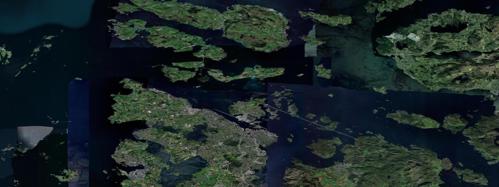
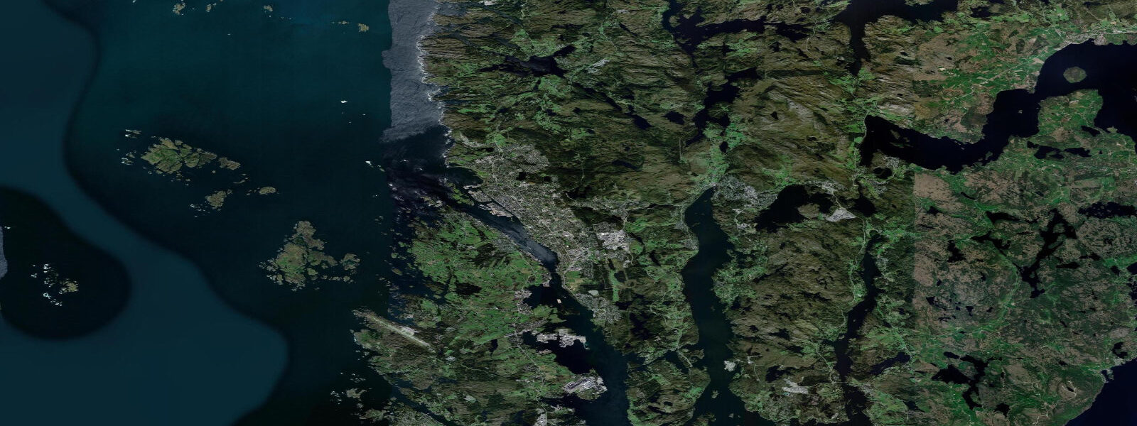
Stavanger is on the Rogaland coast of southwest Norway, the centre of the Norwegian oil industry and the base for exploring Lysefjord — the fjord containing Preikestolen (Pulpit Rock) and Kjeragbolten, two of Norway's most photographed geological features. Tidal range is semidiurnal with a mean spring range of about 0.5 metres — smaller than Bergen or Ålesund, due to Stavanger's position in a more sheltered coastal embayment.
Preikestolen is a 604-metre high flat-topped cliff directly above Lysefjord. The hike is 8 km return from the Preikestolhytta car park, with 450 metres of elevation gain, taking 3 to 4 hours return. At the top, the flat granite surface extends to the fjord edge with no railing — a 604-metre vertical drop to the fjord below. It is one of the most-visited natural features in Norway (400,000 hikers per year) and the popularity shows in summer; starting before 7 a.m. beats the main crowds. The approach hike is demanding but not technical.
Kjeragbolten, 40 km further into Lysefjord at the end of the fjord road, is a 5-metre boulder wedged in a crevice at 984 metres elevation above the fjord — the site of one of the world's most daring (and statistically common) tourist photographs, with visitors standing on the boulder above the void. The hike is 10 km return and significantly more demanding than Preikestolen; snow on the upper section closes the route outside June through October.
Kayaking in Lysefjord offers a completely different perspective on the cliffs. The fjord is 42 km long and consistently 400 to 600 metres deep; the walls rise 600 to 1000 metres on both sides. Paddling beneath Preikestolen and looking up at the cliff face from the water is a counterpoint to the tourist-crowded summit. Guided kayak tours from Forsand (at the fjord entrance) run single-day circuits of the inner fjord sections.
Stavanger's old town (Gamle Stavanger) contains 173 white-painted wooden houses from the 18th and 19th century — the largest preserved wooden house district in northern Europe. The Norwegian Petroleum Museum on the waterfront documents the oil industry that transformed Norway from one of Europe's poorer countries to one of its wealthiest within 50 years.
Predictions on this page come from Open-Meteo Marine, a gridded global ocean model. Accuracy is typically within plus or minus 45 minutes on timing and 0.2 to 0.3 metres on height — model-derived, not from a local gauge. For authoritative Norwegian tide predictions, consult Kartverket at kartverket.no/sehavniva.
Tide questions about Stavanger
Quick answers to the most common questions about tide times, range, and water access at Stavanger.
How do I hike to Preikestolen from Stavanger?
Take the ferry from Stavanger's Fiskepiren terminal to Tau (30 minutes, every hour or two in summer), then bus from Tau to Preikestolhytta (30 minutes). The hike from the car park to the cliff top is 4 km each way, 3 to 4 hours return, with 450 m of elevation gain. Start before 8 a.m. in July and August to avoid queuing on the narrow cliff sections. The ferry and bus service is seasonal (April through October); check Kolumbus.no for current timetables. Sturdy footwear is mandatory — the upper section is rocky and often wet.
What is Kjeragbolten?
Kjeragbolten is a 5-metre boulder wedged in a crack on the Kjerag cliff face at 984 metres above Lysefjord. Standing on the boulder while a friend photographs from the adjacent cliff is one of the most shared Norwegian outdoor photos — the background shows a sheer 984-metre drop to the fjord. The hike is 10 km return, involving 3 strenuous ascents and descents, taking 5 to 7 hours. Route open approximately June through October when snow has cleared from the upper section. This is more demanding than Preikestolen and requires decent fitness.
Can I kayak in Lysefjord?
Yes — guided kayak tours from Forsand at the fjord entrance offer single-day paddles into the inner fjord beneath the 600 to 1000-metre cliff walls. The fjord is protected from ocean swell and wind, making conditions usually calm. Independent paddlers with sea kayaking experience can plan multi-day trips, camping at the few available spots inside the fjord. Water temperature is 13 to 16°C in summer; a 4/3mm wetsuit is appropriate.
What is the tidal range at Stavanger?
Mean spring range at Stavanger is approximately 0.5 metres — one of the smaller tidal ranges on the Norwegian west coast, due to Stavanger's sheltered position in the Boknafjord system. Tidal current in the fjord channels is generally modest. For Lysefjord specifically, the tidal exchange through the narrow entrance at Forsand produces some current but is not a significant factor for kayakers.
What is the Norwegian Petroleum Museum about?
The Norsk Oljemuseum (Norwegian Petroleum Museum) on Stavanger's waterfront documents the discovery and development of Norway's North Sea oil and gas industry since 1969, which transformed Norway into one of the world's wealthiest countries and funded the massive Government Pension Fund (the world's largest sovereign wealth fund). The museum includes a full-scale offshore installation interior, historical artefacts from early exploration, and current exhibits on the transition to renewable energy. Open daily; moderate entry fee. Allow 2 to 3 hours.
8-day tide table — Stavanger
Heights relative to MSL. Predictions: Open-Meteo Marine (MeteoFrance SMOC, 0.08° grid) — heights relative to MSL (not chart datum / LAT). Model-derived.
| Day | Type | Time | Height |
|---|---|---|---|
| Fri 19 Jun | High | 02:00 | -0.1m |
| Low | 07:43 | -0.7m | |
| High | 10:15 | -0.4m | |
| Low | 11:10 | -0.4m | |
| High | 14:02 | -0.1m | |
| Low | 16:25 | -0.3m | |
| High | 16:50 | -0.3m | |
| Low | 20:02 | -0.6m | |
| High | 22:54 | -0.3m | |
| Low | 23:42 | -0.3m | |
| Sat 20 Jun | High | 02:23 | -0.0m |
| Low | 05:21 | -0.3m | |
| High | 05:34 | -0.3m | |
| Low | 12:08 | -0.4m | |
| High | 14:51 | -0.1m | |
| Low | 17:19 | -0.3m | |
| High | 17:50 | -0.3m | |
| Low | 20:55 | -0.7m | |
| High | 23:22 | -0.4m | |
| Sun 21 Jun | Low | 00:37 | -0.4m |
| High | 03:12 | -0.1m | |
| Low | 06:15 | -0.4m | |
| High | 06:33 | -0.4m | |
| Low | 09:19 | -0.7m | |
| High | 11:48 | -0.5m | |
| Low | 13:02 | -0.6m | |
| High | 15:40 | -0.3m | |
| Low | 18:00 | -0.5m | |
| High | 19:02 | -0.4m | |
| Low | 21:47 | -0.7m | |
| Mon 22 Jun | High | 00:11 | -0.5m |
| Low | 01:36 | -0.5m | |
| High | 03:58 | -0.3m | |
| Low | 06:26 | -0.5m | |
| High | 07:37 | -0.5m | |
| Low | 10:10 | -0.8m | |
| High | 12:37 | -0.5m | |
| Low | 13:53 | -0.6m | |
| Tue 23 Jun | High | 01:08 | -0.3m |
| Low | 02:07 | -0.4m | |
| High | 04:54 | -0.1m | |
| Low | 07:14 | -0.3m | |
| High | 08:37 | -0.3m | |
| Low | 11:01 | -0.5m | |
| High | 13:19 | -0.3m | |
| Low | 14:47 | -0.4m | |
| High | 17:15 | -0.1m | |
| Low | 19:26 | -0.3m | |
| High | 21:00 | -0.2m | |
| Low | 23:26 | -0.4m | |
| Wed 24 Jun | High | 01:50 | -0.2m |
| Low | 03:10 | -0.3m | |
| High | 05:43 | -0.0m | |
| Low | 08:02 | -0.3m | |
| High | 09:22 | -0.2m | |
| Low | 11:57 | -0.5m | |
| High | 14:10 | -0.3m | |
| Low | 15:40 | -0.3m | |
| High | 18:07 | -0.1m | |
| Low | 20:18 | -0.3m | |
| High | 21:54 | -0.2m | |
| Thu 25 Jun | Low | 00:18 | -0.4m |
| High | 02:36 | -0.3m | |
| Low | 04:02 | -0.3m | |
| High | 10:13 | -0.2m | |
| Low | 12:50 | -0.5m | |
| High | 15:00 | -0.3m | |
| Low | 16:22 | -0.4m | |
| High | 19:00 | -0.1m | |
| Low | 21:10 | -0.3m | |
| High | 22:46 | -0.2m | |
| Fri 26 Jun | Low | 01:00 | -0.5m |