Haugesund tide times
Haugesund tide forecast — heights relative to MSL.
Today's tide times for Haugesund
Tide times at Haugesund on Friday, 19 June 2026: first high tide at 02:00, first low tide at 07:51, second high tide at 14:19. Sunrise 04:21, sunset 22:59.
Tide chart for Haugesund
24-hour cosine-interpolated curve around the present moment. Heights relative to MSL. Predictions: Predictions: Open-Meteo Marine (MeteoFrance SMOC, 0.08° grid).
Sun, moon and conditions on Fri 19 Jun
Snapshot at build time — refreshes daily. Sea state from Open-Meteo Marine.
Highs and lows next 7 days
Every predicted high and low for the next week, with the daily tidal coefficient (0–120; higher = bigger swing, > 95 means stronger currents).
Other spots nearby
The three closest curated TideTurtle locations to Haugesund, measured by great-circle distance.

Today's solunar windows
Solunar tradition: major periods are the ≈3h windows around moon transit and opposition; minor are ≈2h around moonrise and moonset. Pair with the local tide stage and wind for the best read.
Cycle dates near Haugesund
Last spring tide on Fri 19 Jun (range 0.7m). Next neap on Thu 25 Jun.
Spring tides cluster around new and full moons (biggest swings). Neap tides land on quarter moons (smallest swings). See the spring tide and neap tide glossary entries for the why.
About tides at Haugesund
A short guide to the coastline at Haugesund — geography, sea state, and what the tide is actually doing under your feet.
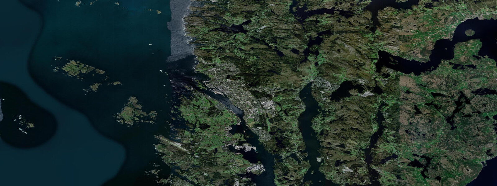
Haugesund is a mid-sized Norwegian coastal city on the Karmsund strait, between Stavanger (75 km south) and Bergen (150 km north). The city sits beside Karmsund — the historic inner sea passage (Norðvegr, 'the northern way', which gave Norway its name) that Viking-era ships used to travel between the fjords and the open sea, sheltered from the North Atlantic. Harald Fairhair, the first king of Norway, is said to be buried at Haraldshaugen mound north of the city. Tidal range is semidiurnal with a mean spring range of about 0.6 metres.
The Karmsund is still a busy shipping lane — oil tankers, supply vessels, and ferries move through on the sheltered inner passage between the island of Karmøy and the mainland. The waterway that historically allowed Viking longships to navigate without the North Sea crossing still saves modern shipping the same storm exposure.
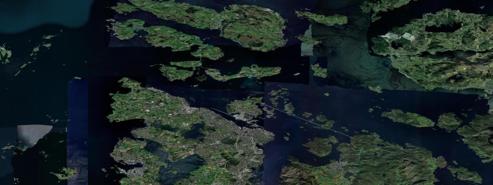
Karmøy island, separated from the mainland by Karmsund, has a 60-km western coastline facing the open North Sea. The outer coast catches North Atlantic swell and has produced one of the few surf spots in the Rogaland region — Åkra and Syre beaches on the southwest corner of the island get consistent swell in autumn and winter storms. The water is cold (8 to 14°C year-round); a 5/4mm wetsuit with boots is the minimum for surfing.
The outer Karmøy coast also has extraordinary Atlantic birdlife at Skudeneshavn, the southernmost point of the island — a well-preserved 19th-century trading town with white wooden houses and a harbour still active with small fishing vessels. Skudeneshavn hosts seabird colonies on the outer skerries; gannets fish offshore from spring through autumn.
Fishing in Karmsund and on the outer Karmøy coast targets cod, saithe, mackerel, and coalfish from shore and small boat. The sheltered Karmsund is productive for boat fishing year-round; the outer coast requires care in weather.
Predictions on this page come from Open-Meteo Marine, a gridded global ocean model. Accuracy is typically within plus or minus 45 minutes on timing and 0.2 to 0.3 metres on height — model-derived, not from a local gauge. For authoritative Norwegian tide predictions, consult Kartverket at kartverket.no/sehavniva.
Tide questions about Haugesund
Quick answers to the most common questions about tide times, range, and water access at Haugesund.
What is the historical significance of Karmsund?
Karmsund (the strait between Haugesund and Karmøy island) was the Norðvegr — the 'northern way' — the sheltered inner coastal route used by Viking-era ships to travel along the Norwegian coast without exposing themselves to the North Atlantic. The modern word 'Norway' derives from this route name. Harald Fairhair, credited as the first king of Norway, is traditionally buried at Haraldshaugen mound on the north side of Haugesund, established here to control the strategic strait.
Is there surf on Karmøy island?
Åkra and Syre beaches on the southwest coast of Karmøy island (30 to 40 minutes drive from Haugesund via the bridge to Karmøy) catch North Atlantic swell from the open ocean. The surf is inconsistent but genuine — autumn and winter North Atlantic storms produce 2 to 5 foot beach break. Water temperature is 8 to 14°C year-round. A 5/4mm wetsuit with boots and gloves is mandatory in autumn and winter. No surf schools operate locally; this is for self-sufficient surfers.
What is Skudeneshavn?
Skudeneshavn is the southernmost town on Karmøy island — a beautifully preserved 19th-century trading harbour with white-painted wooden houses along the quay, a small local museum, and an active harbour with traditional wooden fishing vessels. It's one of the best-preserved trading towns in Norway. The town hosts a wooden boat festival (Trebåtstevne) in summer; the outer skerries beyond the harbour have seabird colonies accessible by boat.
What is the tidal range at Haugesund?
Mean spring range at Haugesund is approximately 0.6 metres — small but semidiurnal. The Karmsund strait has tidal current that is significant at spring tides, particularly in the narrow section between Avaldsnes (north of Haugesund) and Karmøy island. The current is relevant for kayakers and small boats navigating the strait; the main shipping lane has priority for larger vessels in any case.
How do I get to Haugesund?
Haugesund Airport has connections to Oslo (SAS, Norwegian) and some European destinations. By road from Stavanger (75 km, 1 hour) or Bergen (150 km, 2 to 2.5 hours via the E39 coastal highway and Boknafjord ferry crossing). The passenger ferry from Stavanger (Flaggruten) takes 2.5 hours and goes via the outer island route. Train service does not reach Haugesund — the E39 and the express bus are the public transport options from the south.
8-day tide table �— Haugesund
Heights relative to MSL. Predictions: Open-Meteo Marine (MeteoFrance SMOC, 0.08° grid) — heights relative to MSL (not chart datum / LAT). Model-derived.
| Day | Type | Time | Height |
|---|---|---|---|
| Fri 19 Jun | High | 02:00 | 0.0m |
| Low | 07:51 | -0.7m | |
| High | 14:19 | -0.1m | |
| Sat 20 Jun | Low | 08:35 | -0.6m |
| High | 15:05 | -0.1m | |
| Low | 21:00 | -0.6m | |
| Sun 21 Jun | High | 03:19 | -0.1m |
| Low | 09:36 | -0.7m | |
| High | 15:51 | -0.3m | |
| Low | 21:51 | -0.7m | |
| Mon 22 Jun | High | 04:06 | -0.3m |
| Low | 10:23 | -0.8m | |
| High | 16:52 | -0.3m | |
| Low | 22:36 | -0.6m | |
| Tue 23 Jun | High | 05:05 | -0.1m |
| Low | 11:08 | -0.5m | |
| High | 17:36 | -0.1m | |
| Low | 23:37 | -0.4m | |
| Wed 24 Jun | High | 05:54 | -0.1m |
| Low | 12:13 | -0.5m | |
| High | 18:24 | -0.1m | |
| Thu 25 Jun | Low | 00:47 | -0.4m |
| High | 06:48 | -0.1m | |
| Low | 13:12 | -0.5m | |
| High | 19:19 | -0.1m | |
| Fri 26 Jun | Low | 01:00 | -0.4m |