Kristiansand tide times
Kristiansand tide forecast — heights relative to MSL.
Today's tide times for Kristiansand
Tide times at Kristiansand on Saturday, 27 June 2026: first low tide at 02:00, first high tide at 03:45, second low tide at 10:10, second high tide at 15:50, third low tide at 22:00. Sunrise 04:24, sunset 22:36.
Tide chart for Kristiansand
24-hour cosine-interpolated curve around the present moment. Heights relative to MSL. Predictions: Predictions: Open-Meteo Marine (MeteoFrance SMOC, 0.08° grid).
Sun, moon and conditions on Sat 27 Jun
Snapshot at build time — refreshes daily. Sea state from Open-Meteo Marine.
Highs and lows next 7 days
Every predicted high and low for the next week, with the daily tidal coefficient (0–120; higher = bigger swing, > 95 means stronger currents).
Other spots nearby
The three closest curated TideTurtle locations to Kristiansand, measured by great-circle distance.
Today's solunar windows
Solunar tradition: major periods are the ≈3h windows around moon transit and opposition; minor are ≈2h around moonrise and moonset. Pair with the local tide stage and wind for the best read.
About tides at Kristiansand
A short guide to the coastline at Kristiansand — geography, sea state, and what the tide is actually doing under your feet.
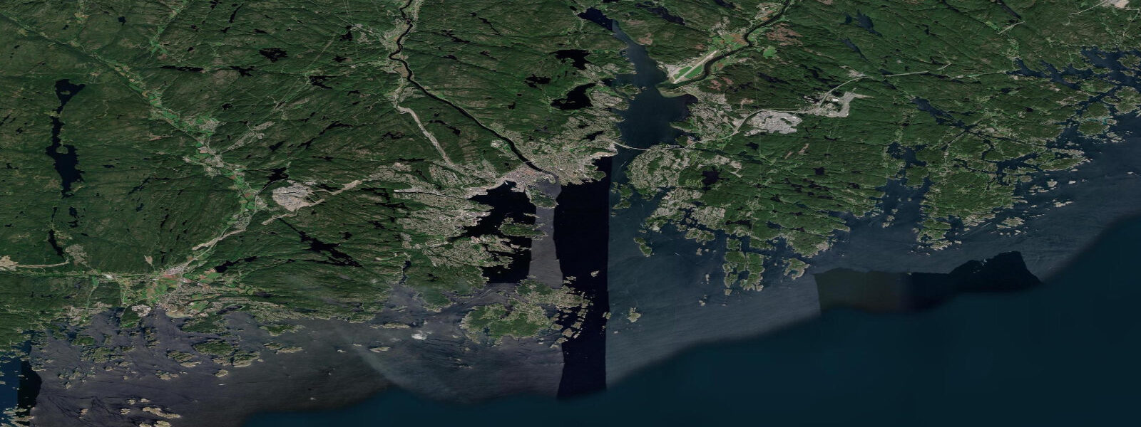
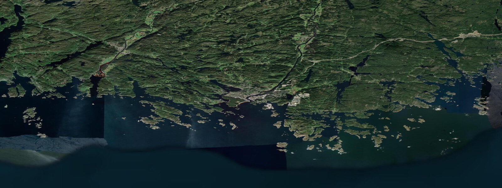
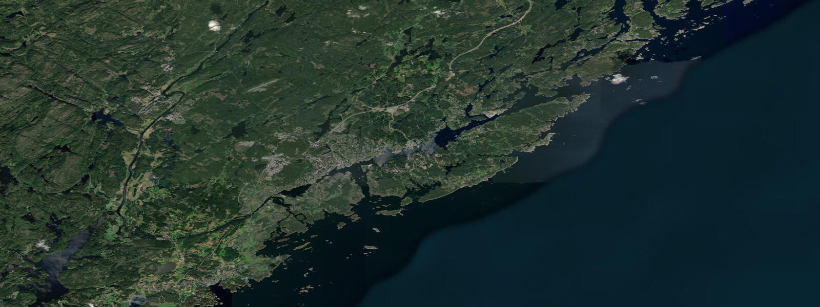
Kristiansand is Norway's fifth-largest city and the undisputed hub of the southern Skagerrak coast. It sits at the mouth of the Otra River where the river meets the Kristiansandsfjord, a sheltered bay protected by the outer Randøy and Flekkerøya islands. The harbour is the departure point for the Color Line and Fjord Line car-ferry services to Hirtshals in Denmark — one of the busiest cross-Skagerrak ferry corridors — and the city's grid-pattern centre (the Kvadraturen, laid out by Christian IV in 1641) sits just back from the waterfront.
The tidal regime at Kristiansand is semidiurnal with a spring range of approximately 0.7 m above Chart Datum — among the smallest ranges in Norway. Mean high water springs sits around 0.5 m above Chart Datum; mean low water springs at roughly 0.2 m. Neap range narrows to 0.2–0.3 m. The practical consequence: tidal state barely registers for most coastal activities here. The Skagerrak coast of southern Norway is defined by wind-driven water level changes, boat traffic patterns, and the geometry of the outer island chains, not by tidal amplitude.
For the ferry operators running to Denmark, the 0.7 m spring range means the passenger and vehicle ramps need to accommodate less vertical movement than any Norwegian port further north. The Color Line and Fjord Line ferries use fixed-height linkspan ramps; the gangway angles at Kristiansand vary only a few degrees across the tidal cycle. Passenger boarding and vehicle loading are unaffected by tidal state under normal conditions.
The outer archipelago — Flekkerøya, Randøya, Oksøy, and the dozens of smaller skerries stretching east and west along the coast — is the defining recreational asset of Kristiansand. The Norwegian Coastal Path (Kyststi) runs for 44 km through the outer islands, and the archipelago is a major summer sailing and motorboat destination. The coastal current through the outer channels typically runs east-west parallel to the coast at 0.3–0.8 knots depending on wind; tidal current contribution is minor compared to wind-driven flow in this micro-tidal environment.
Fishing from Kristiansand targets mackerel in summer (July–September), pollock and coalfish from the outer breakwaters year-round, and sea trout in the river mouths and coastal margins in autumn (September–November). Sea-trout anglers working the Otra River mouth and the outer bay benefit most from tidal timing: the incoming tide pushes saltwater up the estuary and concentrates sea trout at the freshwater-saltwater boundary. On a 0.7 m spring tide, this boundary moves roughly 400–600 m upstream from its low-water position — modest, but enough to shift the optimal fishing position.
Families and casual beach users use the sheltered bays on the outer islands — Hamresanden to the east and the beaches on Flekkerøya to the south — rather than the city waterfront, which is commercial. Hamresanden (3 km east of the city centre) is a wide sandy beach in a sheltered bay; tidal change of 0.5–0.7 m shifts the waterline 20–30 m on a gentle slope, noticeable but not limiting. The beach is busy from late June through August; the shoulder seasons (May and September) see excellent conditions with few people.
For sailors and motorboat operators based in Kristiansand's city marina or the outer archipelago guest harbours, the low tidal range means anchoring depth calculations are simple — 0.7 m of tidal change is barely a rounding error in anchor scope. The real navigation variables here are submerged rocks and the outer skerries, which require chart attention but have nothing to do with tidal state.
All tide predictions for Kristiansand come from the Open-Meteo Marine gridded model. Timing accuracy is ±45 minutes; height accuracy is ±0.3 m above Chart Datum.
Tide questions about Kristiansand
Quick answers to the most common questions about tide times, range, and water access at Kristiansand.
What is the tidal range at Kristiansand and does it affect the Denmark ferry?
Kristiansand has a semidiurnal spring tidal range of approximately 0.7 m above Chart Datum. Mean high water springs is around 0.5 m; mean low water springs around 0.2 m. The Color Line and Fjord Line ferry ramps are fixed-height linkspans; the 0.7 m range produces only minor gangway-angle variation. Ferry operations are unaffected by tidal state under normal conditions. The main cause of ferry delays on this crossing is rough weather in the Skagerrak — north-to-northwest gales in autumn and winter can delay or cancel sailings. Tidal predictions carry ±45 minutes timing uncertainty and ±0.3 m height uncertainty.
Where are the best beaches near Kristiansand and how does the tide affect them?
Hamresanden, 3 km east of the city centre, is the main public beach — a wide sandy bay in a sheltered embayment. The 0.7 m spring tidal range shifts the waterline 20–30 m on the gentle slope, which is noticeable but does not significantly affect beach usability at any tidal stage. Flekkerøya island to the south has additional sheltered coves accessible by boat. The beaches are busiest July to mid-August; the best conditions for an uncrowded beach visit are weekday mornings in June or early September. Jellyfish concentrations in the outer bay peak in late summer and can make swimming uncomfortable on some days.
How does tidal timing affect sea-trout fishing around Kristiansand?
Sea trout enter the coastal margins and river mouths around Kristiansand from September through November. The incoming tide at the Otra River mouth and in the sheltered inner bays pushes saltwater up the estuary and concentrates sea trout at the freshwater-saltwater boundary — typically 400–600 m upstream from its low-water position on a spring tide. The optimal fishing position shifts with the tide; fish the edge of the saltwater wedge rather than a fixed spot. Fishing is most productive during the last two hours of the flood and the first hour of the ebb. Tidal predictions carry ±45 minutes uncertainty — build that window into your river-mouth timing.
Is the outer archipelago around Kristiansand accessible by kayak?
The outer archipelago — Flekkerøya, Randøya, Oksøy, and the surrounding skerries — is excellent kayak territory in calm weather. Tidal current is minimal (0.1–0.3 knots in most passages) and the 0.7 m tidal range creates no significant hazards. The practical kayaking variables are wind-driven chop in the open channels between the outer islands (exposed to westerly and southwesterly fetch from the Skagerrak) and submerged rocks in the inner passages. June to early August gives the best combination of calm weather and warm water. The Coastal Path (Kyststi) provides land-access points at regular intervals, useful for planning multi-day paddling routes.
What mackerel fishing is available from Kristiansand in summer?
Mackerel arrive in the Skagerrak coastal waters off Kristiansand from late June and are present through September. Shore fishing from the outer breakwaters and the ferry pier area is productive on lures and sabiki rigs on an incoming tide in the mornings. Boat fishing on the outer skerries with feathers and small spinners takes mackerel at any tidal stage once the shoals are present. The city's recreational fishing scene peaks July–August; mackerel can be seen chasing baitfish near the surface from the outer harbour walls in calm evenings. The tidal range of 0.7 m has minimal effect on mackerel behaviour — fish the surface schools wherever you find them.
6-day tide table — Kristiansand
Heights relative to MSL. Predictions: Open-Meteo Marine (MeteoFrance SMOC, 0.08° grid) — heights relative to MSL (not chart datum / LAT). Model-derived.
| Day | Type | Time | Height |
|---|---|---|---|
| Sat 27 Jun | Low | 02:00 | -0.3m |
| High | 03:45 | -0.2m | |
| Low | 10:10 | -0.4m | |
| High | 15:50 | -0.3m | |
| Low | 22:00 | -0.5m | |
| Sun 28 Jun | — | ||
| Mon 29 Jun | High | 05:10 | -0.2m |
| Low | 11:50 | -0.4m | |
| Tue 30 Jun | High | 05:45 | -0.2m |
| Wed 01 Jul | Low | 00:00 | -0.5m |
| High | 07:00 | -0.3m | |
| Thu 02 Jul | Low | 00:50 | -0.4m |