Arendal tide times
Arendal tide forecast — heights relative to MSL.
Today's tide times for Arendal
Tide times at Arendal on Saturday, 27 June 2026: first low tide at 02:00, first high tide at 03:54, second low tide at 10:50, second high tide at 15:50, third low tide at 22:50. Sunrise 04:18, sunset 22:36.
Tide chart for Arendal
24-hour cosine-interpolated curve around the present moment. Heights relative to MSL. Predictions: Predictions: Open-Meteo Marine (MeteoFrance SMOC, 0.08° grid).
Sun, moon and conditions on Sat 27 Jun
Snapshot at build time — refreshes daily. Sea state from Open-Meteo Marine.
Highs and lows next 7 days
Every predicted high and low for the next week, with the daily tidal coefficient (0–120; higher = bigger swing, > 95 means stronger currents).
Other spots nearby
The three closest curated TideTurtle locations to Arendal, measured by great-circle distance.
Today's solunar windows
Solunar tradition: major periods are the ≈3h windows around moon transit and opposition; minor are ≈2h around moonrise and moonset. Pair with the local tide stage and wind for the best read.
Cycle dates near Arendal
Last spring tide on Sat 27 Jun (range 0.3m). Next spring tide on Fri 03 Jul (range 0.2m). Next neap on Wed 01 Jul.
Spring tides cluster around new and full moons (biggest swings). Neap tides land on quarter moons (smallest swings). See the spring tide and neap tide glossary entries for the why.
About tides at Arendal
A short guide to the coastline at Arendal — geography, sea state, and what the tide is actually doing under your feet.
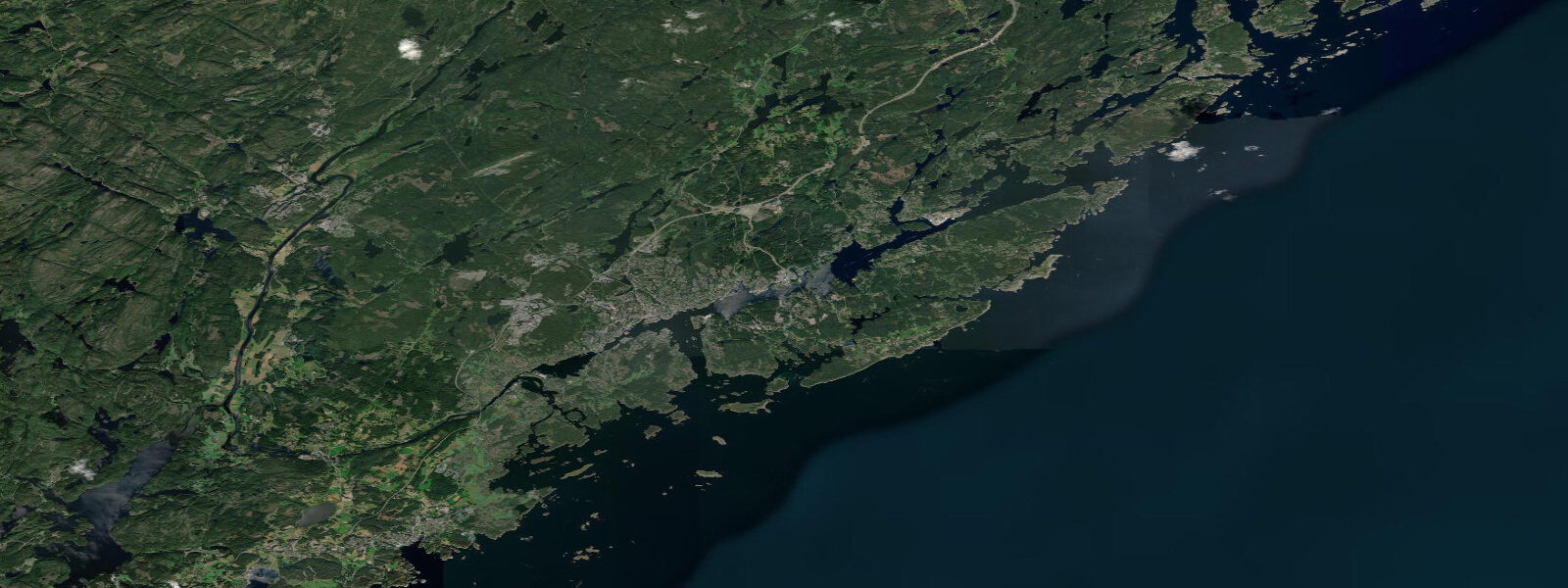
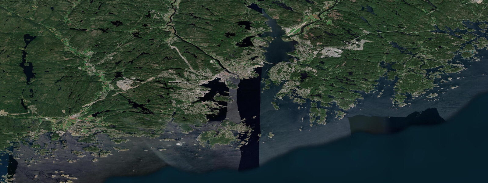
Arendal is the historic capital of Aust-Agder, built across a cluster of small islands connected by bridges in the Nidelva estuary on Norway's Skagerrak coast. The old town — Tyholmen — occupies the tip of the main island and is one of the best-preserved wooden maritime towns in Norway, its 18th and 19th-century merchant houses painted in the reds, yellows, and whites of the timber-trade era. The harbour faces south across a well-sheltered inner bay screened by the larger outer islands of Tromøya and Hisøya.
The tidal regime at Arendal is semidiurnal with a spring range of approximately 0.6 m above Chart Datum. Mean high water springs sits around 0.4 m above Chart Datum; mean low water springs at roughly 0.2 m. Neap range is 0.2–0.3 m. Like the rest of the Agder coast, the micro-tidal character means wind-driven water level changes — particularly from southerly gales pushing water into the bay system — are more significant than the astronomical tide in terms of actual water level variation at the quay.
The Arendal skerry coast stretches east and west for tens of kilometres, with the main islands of Tromøya (4,000 residents) and Hisøya (2,000 residents) connected to the mainland by bridge and to each other by ferry. The passages between these islands and the outer skerries are the main small-boat navigation routes; tidal current in the passages runs 0.3–0.5 knots on springs, low enough that it barely affects routing decisions for motorboats or sailboats but is worth noting for kayakers on longer passages.
Fishing from Arendal targets the same Skagerrak species as Kristiansand: mackerel (July–September) from the outer skerries and breakwaters, pollock and coalfish on the reef structures around the outer islands year-round, and sea trout in the estuary mouths in autumn. The Nidelva river enters the bay immediately east of the town centre; the tidal freshwater-saltwater transition zone in the Nidelva is a classic sea-trout position in October and November. A 0.6 m spring tide moves this zone roughly 300–400 m upstream.
The Arendal guest harbour at Pollen — the old inner harbour in the centre of Tyholmen — is one of the most picturesque in Norway, with the painted wooden merchant houses directly above the quay. In summer the harbour is busy with visiting yachts; the 0.6 m tidal range means mooring lines need little adjustment for tidal state, which simplifies overnight stays. The harbour has full facilities: water, electricity, showers, and a fuel dock at the outer pier.
For families, the sheltered beaches on the outer islands are the main draw: Merdø island (accessible by small ferry from the town) has a sandy beach and the Merdø Farm Museum — one of the best preserved wooden farm complexes on the Skagerrak coast. The beach at the south end of Merdø is best at high water when the sand is covered rather than the low-water expanse of rocks and kelp. Given the 0.6 m range, the difference is minor but the high-water beach is cleaner for swimming.
The Arendal wooden-boat culture is still active: the town has several boat builders working in the traditional Skagerrak styles and runs an annual wooden-boat festival in August. The inner harbour at Pollen is the festival centre; boats arrive from across Scandinavia for the three-day event. Tidal state during the festival is irrelevant to the event itself — the inner harbour has stable depth year-round — but arriving boats on the outer waiting moorings need to account for the ebb when setting overnight scope.
All tide predictions for Arendal come from the Open-Meteo Marine gridded model. Timing accuracy is ±45 minutes; height accuracy is ±0.3 m above Chart Datum.
Tide questions about Arendal
Quick answers to the most common questions about tide times, range, and water access at Arendal.
What is the tidal range at Arendal and how does it affect the guest harbour at Pollen?
Arendal has a semidiurnal spring tidal range of approximately 0.6 m above Chart Datum. The Pollen guest harbour in the inner bay has stable depth year-round; the 0.6 m range means mooring lines need minimal adjustment for tidal state — the standard practice of setting a comfortable scope and checking on arrival is sufficient. The outer waiting moorings east of the harbour entrance have a bit more current exposure; boats on those moorings should set scope for the spring-tide range. Tide predictions carry ±45 minutes timing uncertainty and ±0.3 m height uncertainty.
Is the outer skerry coast around Arendal safe for sea kayaking?
The inner passages between Tromøya, Hisøya, and the smaller skerries close to Arendal are excellent kayak territory with 0.3–0.5 knot tidal current — no significant hazard for intermediate paddlers. The outer skerries face a longer Skagerrak fetch to the southwest; paddling in the outer zones requires a weather window rather than a tidal window. The most common hazard on this coast is the summer southwesterly afternoon breeze that builds to 12–15 knots and creates awkward chop in the open channels. Start outer skerry routes early in the morning when the sea is typically calm. Kayak rentals are available at the Arendal waterfront.
When is the best time to fish for sea trout around Arendal?
Sea trout fishing in the Arendal area peaks September through November when fish move into the coastal margins and estuaries. The Nidelva river mouth east of the town centre is the key location; fish the tidal freshwater-saltwater transition zone on the incoming tide. A 0.6 m spring tide shifts this zone roughly 300–400 m upstream from its low-water position — follow the leading edge of the saltwater intrusion. Fishing is most productive on the flooding tide from two hours before to one hour after high water. Lures and fly are both effective; check local regulations on permitted tackle for tidal estuary sections.
What is the Merdø island beach experience and how does tidal state affect it?
Merdø island is accessible by small passenger ferry from the Arendal waterfront (10-minute crossing, summer schedule). The sandy beach at the south end of the island is best at high water when the sand is fully covered and the swimming is direct. At low water (spring range 0.6 m), a belt of rocks and kelp is exposed that narrows the clean sandy area. Given the small range the difference is minor — roughly 15–20 m of clean sand either way. The Merdø Farm Museum at the island's north end is worth the trip regardless of tide. The ferry runs summer hours only; confirm the schedule before departure.
Where do mackerel fishing trips depart from Arendal?
Mackerel arrive off Arendal from late June and are present through September. Shore fishing from the outer breakwaters at the harbour entrance and from the rocky points on Hisøya and Tromøya is productive from July onwards. Lure casting and sabiki rigs work at any tidal stage once the shoals are present — mackerel are surface feeders and the 0.6 m tidal range has minimal effect on their behaviour. Small-boat hire is available from the Arendal waterfront for anglers who want to reach the outer skerries. The most consistent shore fishing is from the southern tip of Tromøya where the outer current concentrates baitfish. Tide predictions carry ±45 minutes uncertainty.
8-day tide table — Arendal
Heights relative to MSL. Predictions: Open-Meteo Marine (MeteoFrance SMOC, 0.08° grid) — heights relative to MSL (not chart datum / LAT). Model-derived.
| Day | Type | Time | Height |
|---|---|---|---|
| Sat 27 Jun | Low | 02:00 | -0.2m |
| High | 03:54 | -0.2m | |
| Low | 10:50 | -0.4m | |
| High | 15:50 | -0.2m | |
| Low | 22:50 | -0.4m | |
| Sun 28 Jun | High | 05:00 | -0.2m |
| Low | 11:00 | -0.4m | |
| High | 17:10 | -0.1m | |
| Low | 22:00 | -0.3m | |
| Mon 29 Jun | High | 05:00 | -0.1m |
| Low | 12:45 | -0.3m | |
| Tue 30 Jun | — | ||
| Wed 01 Jul | High | 06:50 | -0.2m |
| Low | 11:15 | -0.3m | |
| Thu 02 Jul | High | 07:00 | -0.2m |
| Low | 12:10 | -0.3m | |
| High | 19:00 | -0.1m | |
| Fri 03 Jul | Low | 13:00 | -0.4m |
| High | 19:50 | -0.1m | |
| Sat 04 Jul | Low | 01:00 | -0.3m |