Port Harcourt Waterfront tide times
Port Harcourt Waterfront tide forecast — heights relative to MSL.
Tide chart for Port Harcourt Waterfront
24-hour cosine-interpolated curve around the present moment. Heights relative to MSL. Predictions: Predictions: Open-Meteo Marine (MeteoFrance SMOC, 0.08° grid).
Sun, moon and conditions on Fri 03 Jul
Snapshot at build time — refreshes daily. Sea state from Open-Meteo Marine.
Highs and lows next 7 days
Every predicted high and low for the next week, with the daily tidal coefficient (0–120; higher = bigger swing, > 95 means stronger currents).
Other spots nearby
The three closest curated TideTurtle locations to Port Harcourt Waterfront, measured by great-circle distance.
Today's solunar windows
Solunar tradition: major periods are the ≈3h windows around moon transit and opposition; minor are ≈2h around moonrise and moonset. Pair with the local tide stage and wind for the best read.
About tides at Port Harcourt Waterfront
A short guide to the coastline at Port Harcourt Waterfront — geography, sea state, and what the tide is actually doing under your feet.
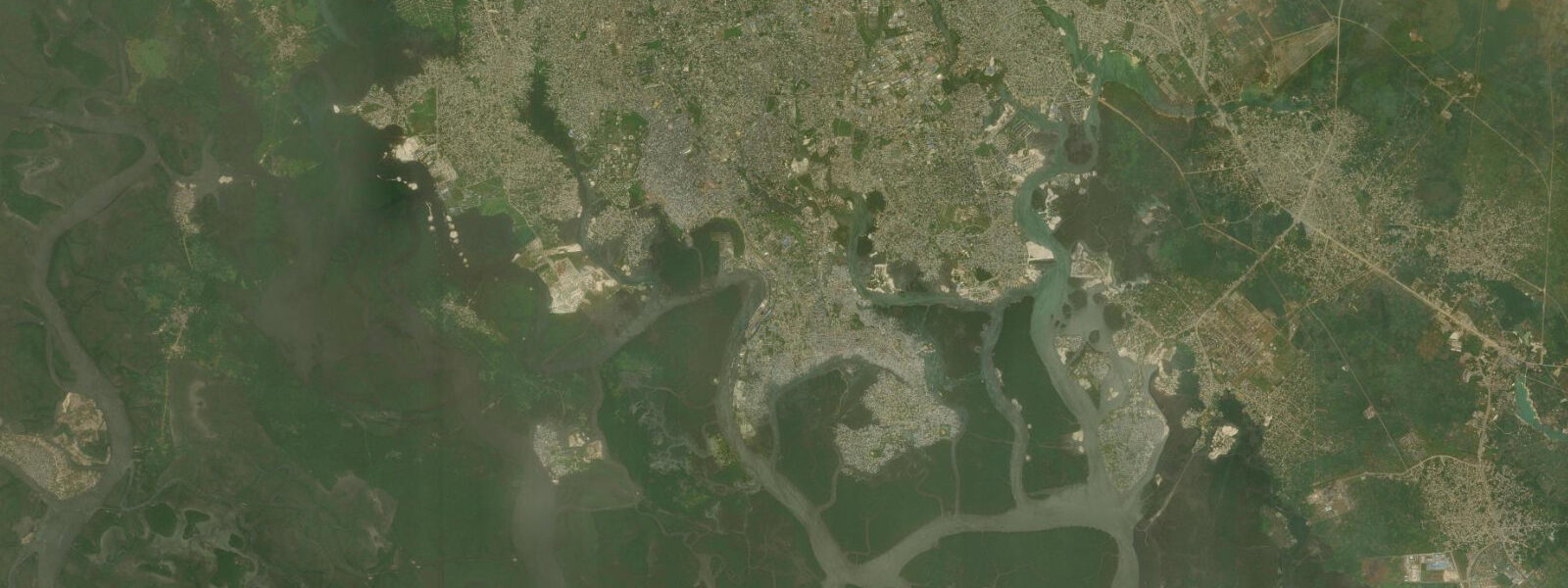
Port Harcourt is Nigeria's oil capital — a city of five million built on the northern margin of the Niger Delta where the New Calabar River threads south through mangrove channels toward the Gulf of Guinea. The city makes no pretence of being a beach destination. The waterfront is industrial, working, and dense with the logistics infrastructure that keeps the offshore oil fields running: supply vessel terminals, pipe yards, oil-service company compounds.
But the tidal river that runs through it is real, and the creek system that extends south from the city into one of the world's largest deltas is one of the most ecologically complex and culturally layered waterway networks on earth. For anyone seriously interested in the Niger Delta as a place — its fishing communities, its mangrove ecology, its entanglement with the global fossil fuel economy — Port Harcourt is the only credible starting point. The New Calabar and Bonny rivers are tidal throughout the city's waterfront.
8 metres are felt at the quay walls and ferry terminals. The river current reverses with the tide; at the Rumuola Ferry Terminal, the tide state is obvious from the direction the water moves past the pilings. Low tide exposes mud banks along the river margins where the intertidal community is dense: mudskippers hauling themselves between water and air on their pectoral fins, fiddler crabs working the mud surface, the occasional Nile monitor lizard at the tide line hunting crabs.
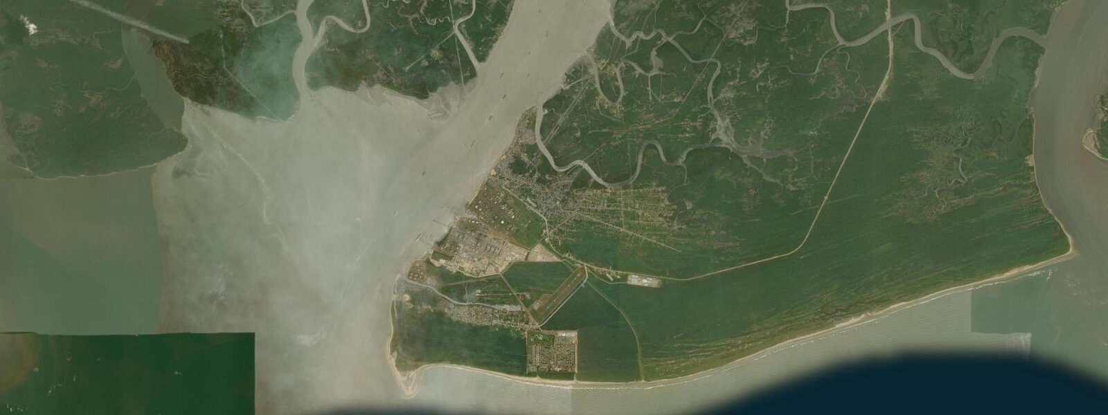
High tide floods the mangrove roots and extends the usable creek network south into the delta. 3 m accuracy — adequate for ferry and small-boat planning, but current timing in the narrower creeks is better confirmed with local boatmen who read the water every day. The creek system south of Port Harcourt is the city's most remarkable natural asset.
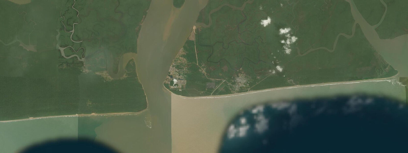
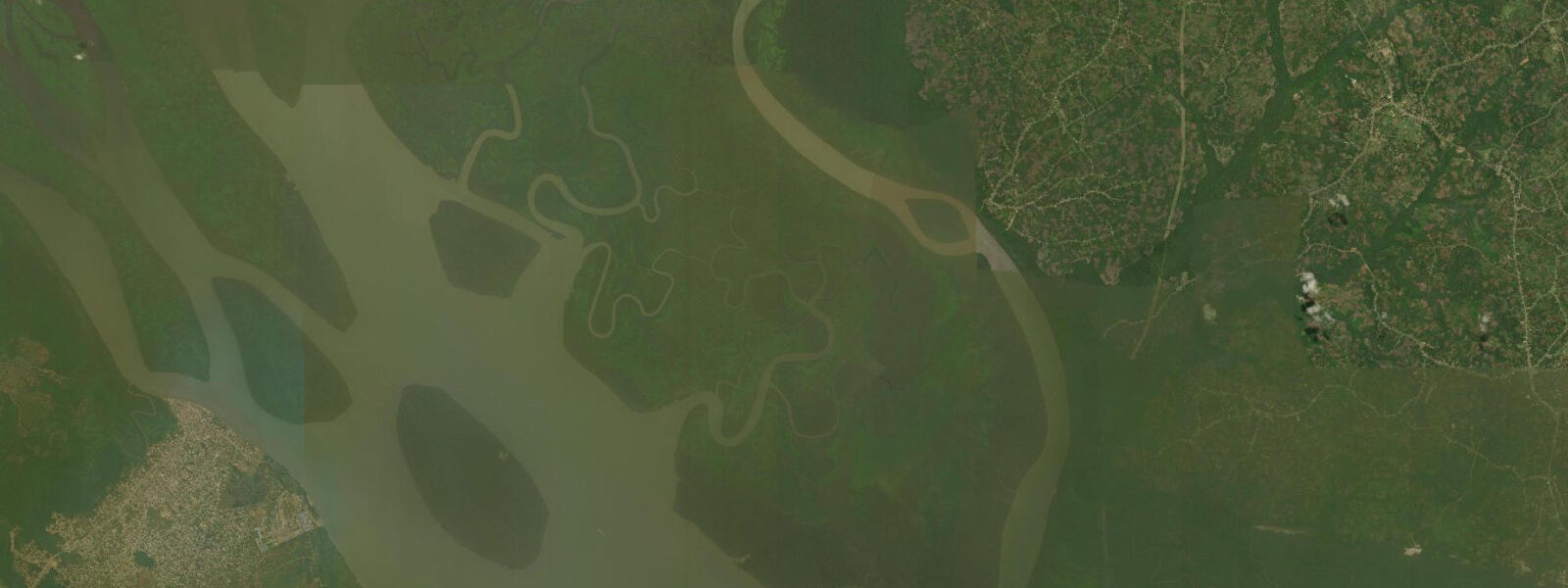
Accessible by speedboat from the Rumuola terminal, the first 20 kilometres of creek take you through the transition from urban waterfront to mangrove-lined channels where the Andoni, Ogoni, and Ijaw fishing villages operate traditional cast-net and fish-trap methods on the same tidal cycles they've used for generations. Wading birds — pied kingfisher, mangrove kingfisher, African fish eagle, grey heron — are present in numbers on the creek margins. The deeper channels in the mid-delta occasionally produce sightings of the Irrawaddy-type freshwater dolphins that range through the Niger Delta creek system, though confirmed sightings require local knowledge of current dolphin ranges and a patient early-morning search.
The Mile 1 Market fish hall, within the city, reflects the extraordinary species diversity of the delta fishery: bonga shad, catfish, tilapia, fresh mangrove periwinkle, Nile perch equivalents, and crayfish harvested from the creek shallows — much of it landed the same morning within 30 kilometres of where you're standing. For practical logistics, Port Harcourt is the departure point for the Bonny Island ferry (Rumuola terminal, 45 minutes), the creek safari routes into the delta, and the road east to Calabar (200 km, 3–4 hours). The city has a wide range of accommodation — from basic guesthouses near Rumuola to the full-service international hotels used by oil-industry staff, which are significantly more comfortable than the price would suggest outside Nigeria.
Plan outdoor creek activity for early morning, 5 to 10 am, before the heat and humidity build to their afternoon peak. Water temperature in the delta year-round: 26–30°C. The Garden City nickname Port Harcourt earned in the colonial period — from the market gardens that once occupied the land between the township and the river — is now largely ironic given the density of the modern city, but the green fringe of the creek margins that ring the southern edge still holds that original character in patches.
Tide questions about Port Harcourt Waterfront
Quick answers to the most common questions about tide times, range, and water access at Port Harcourt Waterfront.
What coastal and waterfront activities are available in Port Harcourt?
The main waterfront activities are centred on the Niger Delta creek system accessible from the city. Speedboat tours into the mangrove creeks — departing from the Rumuola Ferry Terminal or the Garden City waterfront — run to various creek villages where traditional fishing communities operate. The Bonny Island ferry is a practical and atmospheric trip in its own right. For those interested in the delta's ecology, canoe tours into the quieter creek sections (arranged through local operators rather than the industrial ferry terminal) access areas where birdlife, mudskippers, and the occasional monitor lizard are visible. The daily fish market at Mile 1 Market is the most vibrant fish-trading hub in south Nigeria and worth a morning visit.
How do the tides affect the Port Harcourt waterfront and the delta creeks?
Tides are a daily operational reality for everyone working the waterfront in Port Harcourt. Semi-diurnal spring tides reach 1.2–1.8 metres at the city's ferry terminals; at low tide, some secondary landing points become inaccessible as the water drops away from the quay. In the delta creeks to the south, the tidal effect is amplified by the confined geometry of the channels — current runs hard at mid-ebb and mid-flood. Boat operators in the creeks work around the tide by default: they know which channels are navigable at which tidal state, and they time returns to avoid running ground in the shallower passages. Visitors booking creek tours should confirm departure timing with the operator with tide state in mind.
Is it possible to see wildlife from Port Harcourt?
Yes, though it requires effort and early starts. The mangrove creek system south of the city holds African fish eagle, pied kingfisher, mangrove kingfisher, various herons and egrets, and large populations of mudskippers and fiddler crabs on the tidal mud. The deeper delta channels occasionally yield freshwater (Irrawaddy-type) dolphins, though sightings are infrequent and require local knowledge of current ranges. Nile monitor lizards are common on the creek banks. For more serious wildlife, the Nun River Forest Reserve and Apoi Creek Forest Reserve further into the delta are accessible by longer boat journeys and offer some of the last intact Niger Delta lowland forest; these require full-day trips and ideally a specialist guide.
What is the best season to visit Port Harcourt?
November through February is the dry season: lower humidity, reduced rainfall, cleaner air (the Harmattan brings dust from the Sahara, reducing visibility but drying things out), and more comfortable temperatures in the 26–32°C range. This is also the best period for creek wildlife — dry season concentrates birds and mammals at water sources and the mangrove margins are cleaner. The main rains run May through October; the creeks are fuller and more lush, but boat access is more demanding and the heat and humidity are intense. If travelling for the delta fishing culture specifically, the July–September period is when the artisanal fishing activity is most intensive in the creek villages.
How should I plan a trip from Port Harcourt into the Niger Delta creeks?
The practical starting point is a reliable local operator — several small eco-tourism companies in Port Harcourt specialise in creek tours, and guesthouses in the GRA (Government Residential Area) and Rumuola districts can recommend current operators. Agree on a clear itinerary, confirm the boat type (speedboat for distance, canoe for quieter creek exploration), and establish the return time before departing. Bring water, sun protection, and insect repellent — the mangrove channels block wind and insects are heavy around dawn and dusk. Check current security advisories for the delta areas you plan to visit: conditions vary by creek system and by season, and local operators will give you a frank assessment of which routes are straightforward and which are not currently recommended.
0-day tide table — Port Harcourt Waterfront
Heights relative to MSL. Predictions: Open-Meteo Marine (MeteoFrance SMOC, 0.08° grid) — heights relative to MSL (not chart datum / LAT). Model-derived.
| Day | Type | Time | Height |
|---|